Cape Coral Florida Map
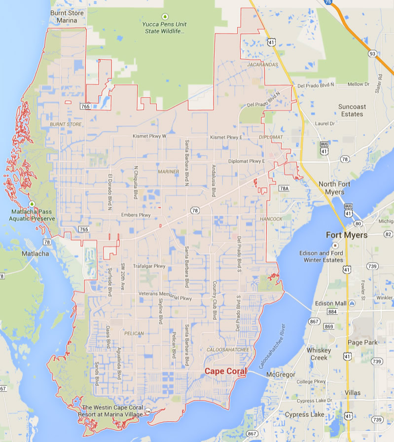
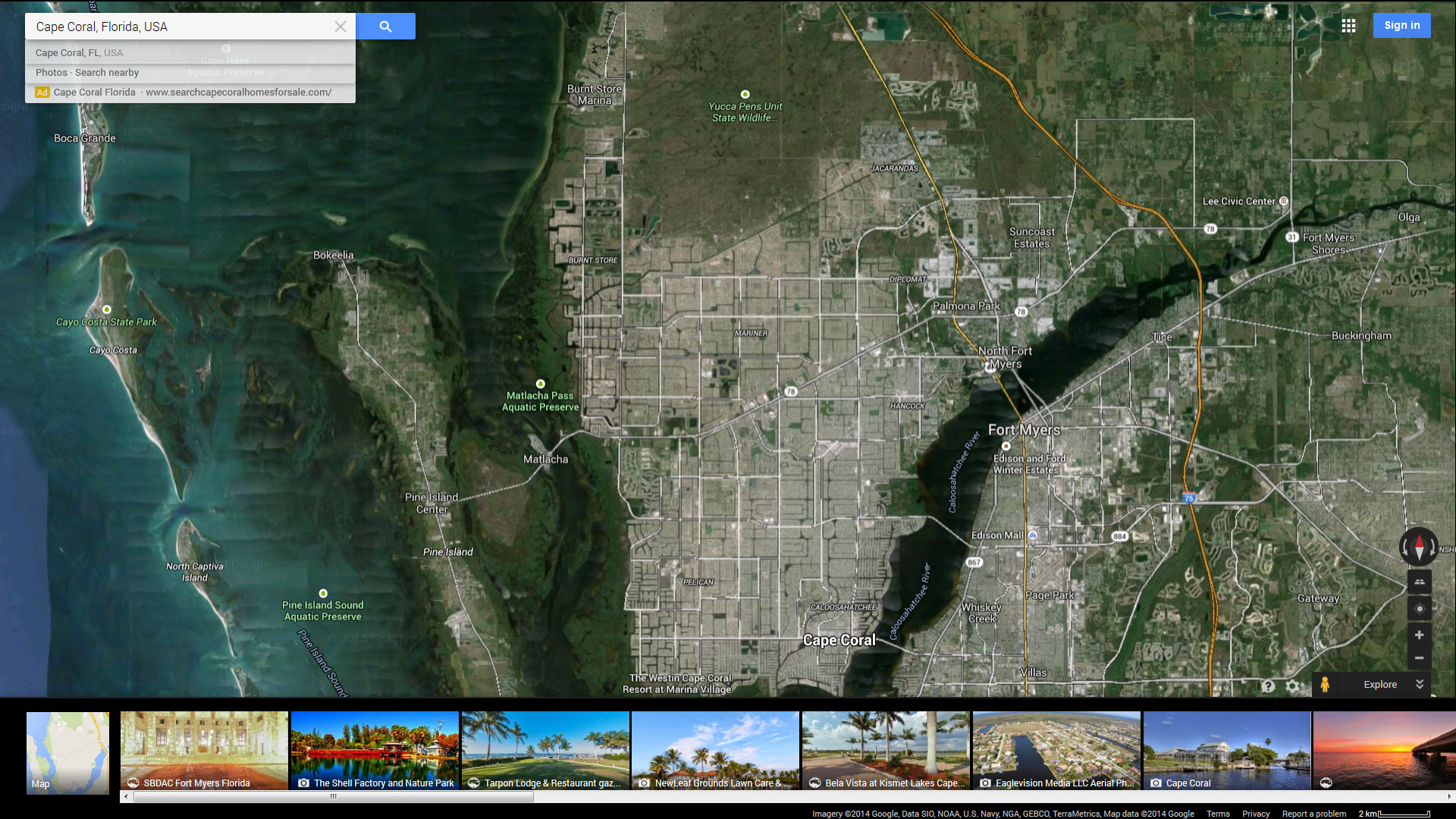
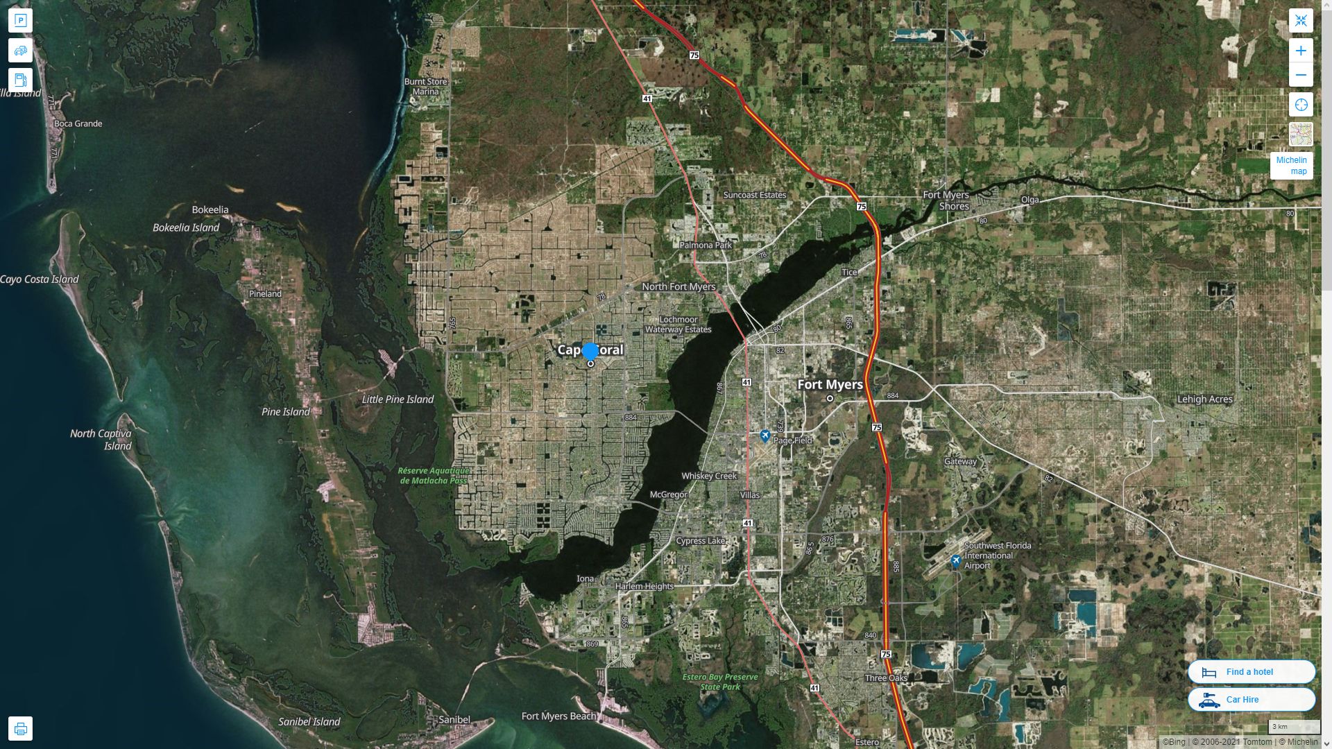
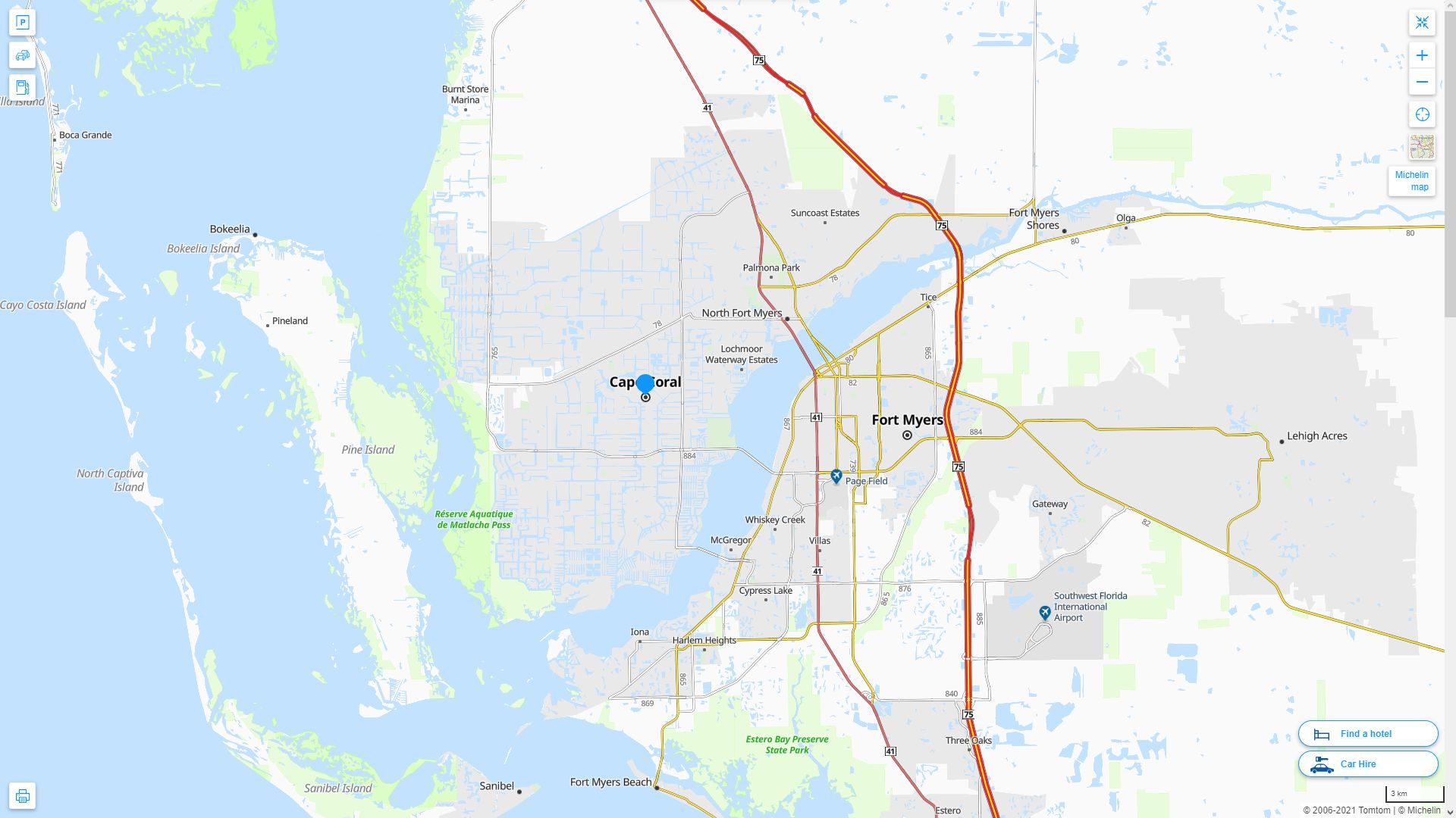
Navigate Cape Coral, Florida Map, map of Cape Coral, Cape Coral Florida regions map, Cape Coral satellite image, towns map, road map of Cape Coral.
Feel the Pulse of Miami: Exploring the City's Top 10 Hotspots
Please subscribe on "World Guide" channnel on Youtube at youtube.com/c/WorldGuide
Where is Florida in the US and Cities Map of Florida
Please subscribe on "World Guide" channnel on Youtube at youtube.com/c/WorldGuide
Florida Map
States Map of USA
Map of Cape Coral Florida, Florida
cape coral florida map usa

Map of Cape Coral
CAPE CORAL FLORIDA MAP USA

CAPE CORAL MAP FLORIDA US

CAPE CORAL MAP FLORIDA US SATELLITE

CAPE CORAL FLORIDA HIGHWAY AND ROAD MAP WITH SATELLITE VIEW

CAPE CORAL FLORIDA HIGHWAY AND ROAD MAP

Largest Florida Cities by Population
Jacksonville Map Miami Map Tampa Map St. Petersburg Map Orlando Map Hialeah Map Tallahassee Map Fort Lauderdale Map Port St. Lucie Map Pembroke Pines Map Cape Coral Map Hollywood Map Gainesville Map Miramar Map Coral Springs Map Clearwater Map Miami Gardens Map Brandon Map Palm Bay Map West Palm Beach Map Pompano Beach Map Spring Hill Map Lakeland Map Davie Map Miami Beach Map Lehigh Acres Map Deltona Map Plantation Map Sunrise Map Boca Raton Map Town n Country Map Alafaya Map Largo Map Melbourne Map Kendall Map Palm Coast Map Deerfield Beach Map Riverview Map Boynton Beach Map Lauderhill Map Weston Map Fort Myers Map Daytona Beach Map Delray Beach Map Homestead Map Tamarac Map Pine Hills Map Fountainebleau Map Kissimmee Map North Miami Map Palm Harbor Map North Port Map Wellington Map Ocala Map Kendale Lakes Map Port Orange Map Tamiami Map Jupiter Map Port Charlotte Map Sanford Map Margate Map Poinciana Map Coconut Creek Map Pensacola Map Sarasota Map The Villages Map The Hammocks Map- Head of Performance Marketing
- Head of SEO
- Linkedin Profile: linkedin.com/in/arifcagrici
For all Florida Cities Map
Cape Coral Florida Google Map, Street Views, Maps Directions, Satellite Images
turkey-visit.com offers a collection of Cape Coral Florida map, google map, Cape Coral Florida atlas, political, physical, satellite view, country infos, cities map and more map of Cape Coral Florida.
US States by Population
California Map Texas Map New York Map Florida Map Illinois Map Pennsylvania Map Ohio Map Michigan Map Georgia Map New Jersey Map North Carolina Map Virginia Map Massachusetts Map District of Columbia Map Indiana Map Tennessee Map Arizona Map Missouri Map Maryland Map Washington Map Minnesota Map Colorado Map Alabama Map Louisiana Map South Carolina Map Kentucky Map Oregon Map Oklahoma Map Connecticut Map Iowa Map Mississippi Map Arkansas Map Kansas Map Utah Map Nevada Map New Mexico Map West Virginia Map Nebraska Map Idaho Map Maine Map New Hampshire Map Hawaii Map Rhode Island Map Montana Map Delaware Map South Dakota Map Alaska Map North Dakota Map Vermont Map Wisconsin Map Wyoming MapCopyright Turkey Travel Guide - 2005 - 2025. All rights reserved. Privacy Policy | Disclaimer

