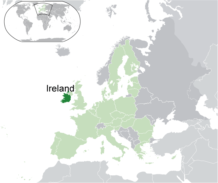
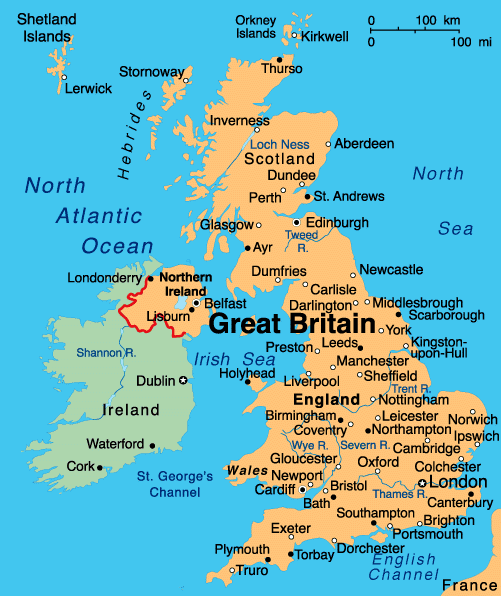
- world map
- europe map
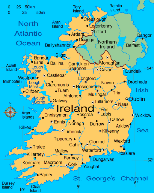
- ireland map
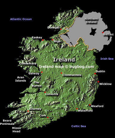
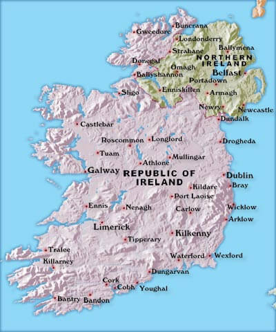
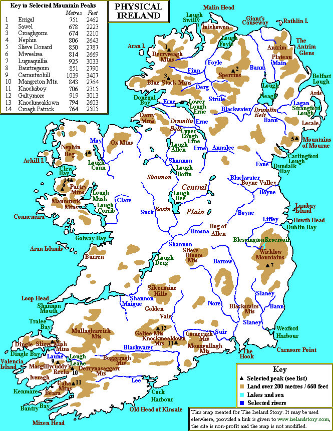
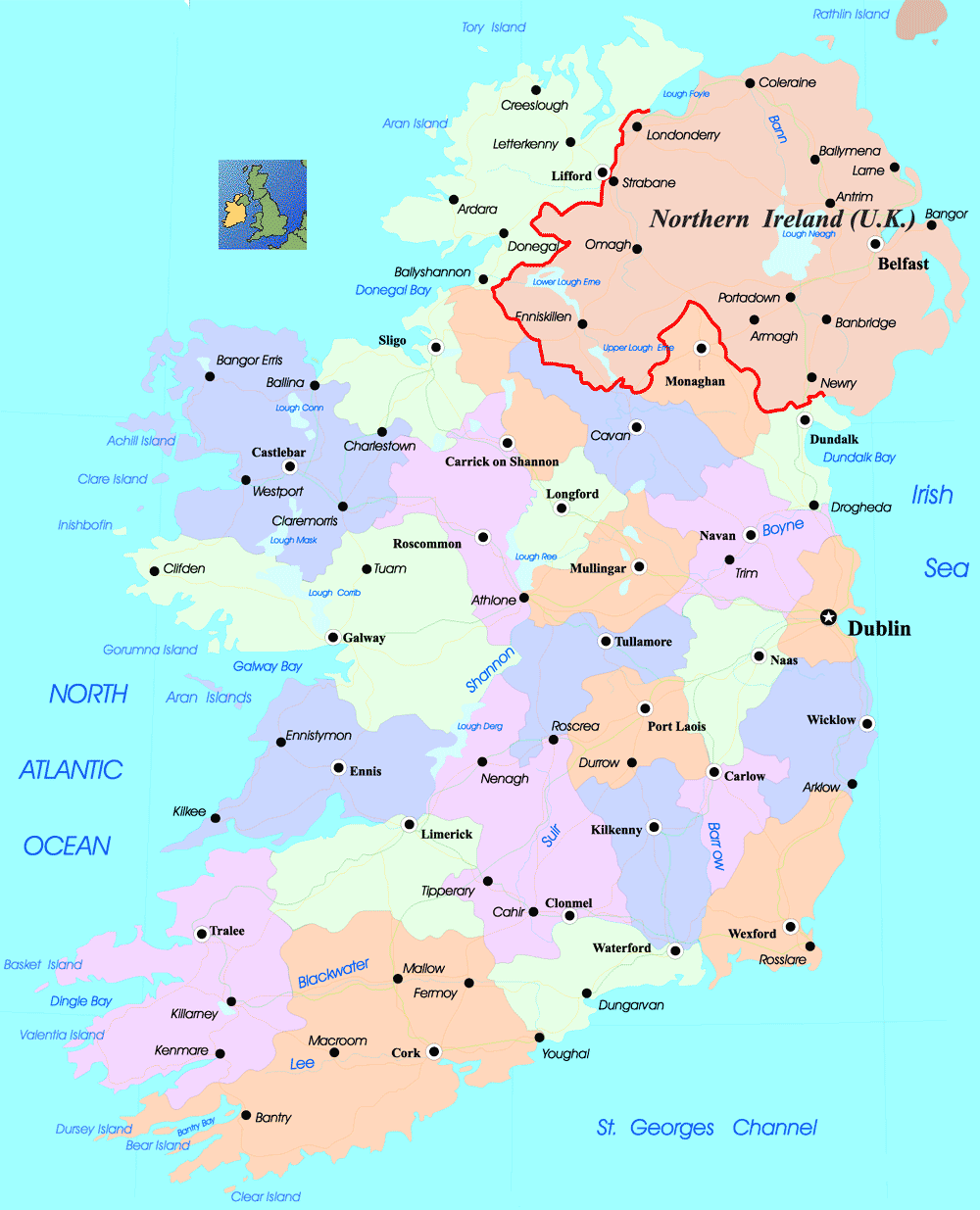
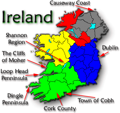
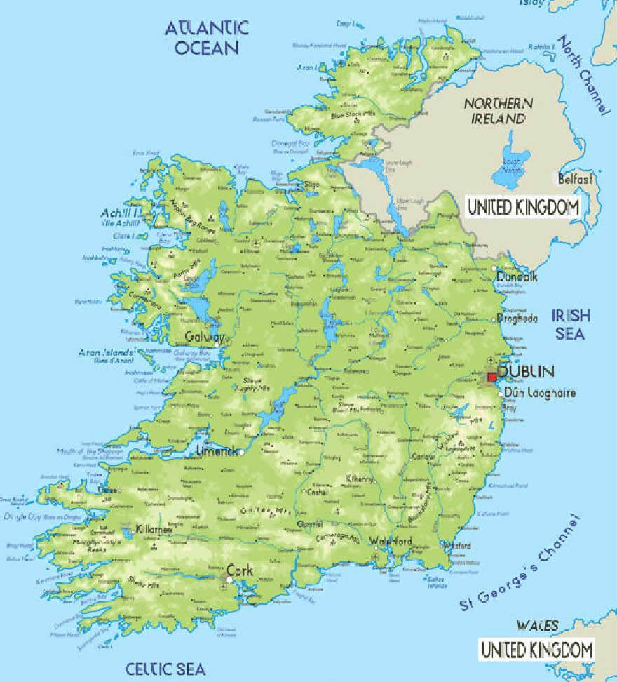
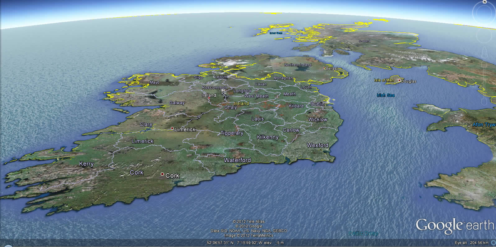
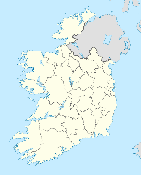
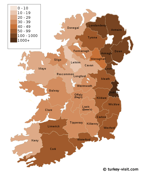
Map of Ireland
Navigate map of Ireland, Ireland country maps, satellite images of the Ireland, Ireland largest city maps, political, physical map of Ireland, driving directions and traffic maps.

Find desired maps by entering country, city, town, region or village names regarding under search criteria. On upper left Map of Ireland (+) beside zoom in and (-) sign to to zoom out via the links you can visit. Ireland Map move the mouse over it via (left click) and clicking the image you can drag. Right upper Map, Satellite, Terrain icons via the map view, satellite, hybrid and terrain map can be switch between images.
World Continents Map
North America Map Europe Map Asia Map South America Map Oceania Map Antarctica MapIreland Map & Ireland Satellite Images
Ireland Map Loading...
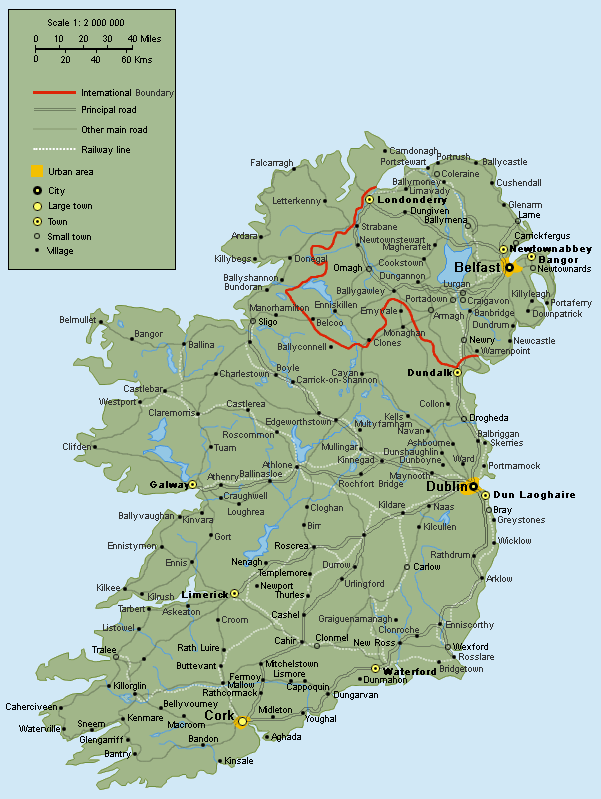
A collection maps of Ireland
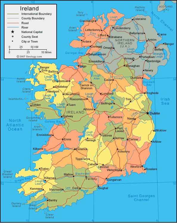
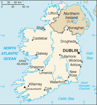


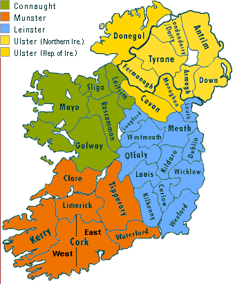

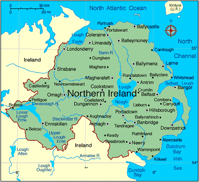
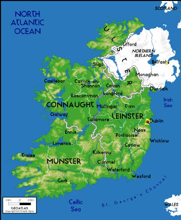
Largest Cities Map of Ireland
Dublin Map - 1,110,627 Belfast Map - 579,726 Cork Map - 198,582 Limerick Map - 91,454 Derry Map - 90,663 Galway Map - 76,778 Craigavon Map - 57,651 Waterford Map - 51,519 Drogheda Map - 38,578 Dundalk Map - 37,816 Lucan Map - 37,622 Wexford Map - 20,072Ireland Google Map, Street Views, Maps Directions, Satellite Images
Please Not : You can find local businesses, public places, tourist attractions via map view, satellite image, hybrid view, driving directions in Ireland Map. You'll also find a varity map of Ireland such as political, administrative, transportation, demographics maps following Google map.
Submit URL to Ireland :
Copyright Turkey Travel Guide - 2005 - 2026. All rights reserved. Privacy Policy | Disclaimer