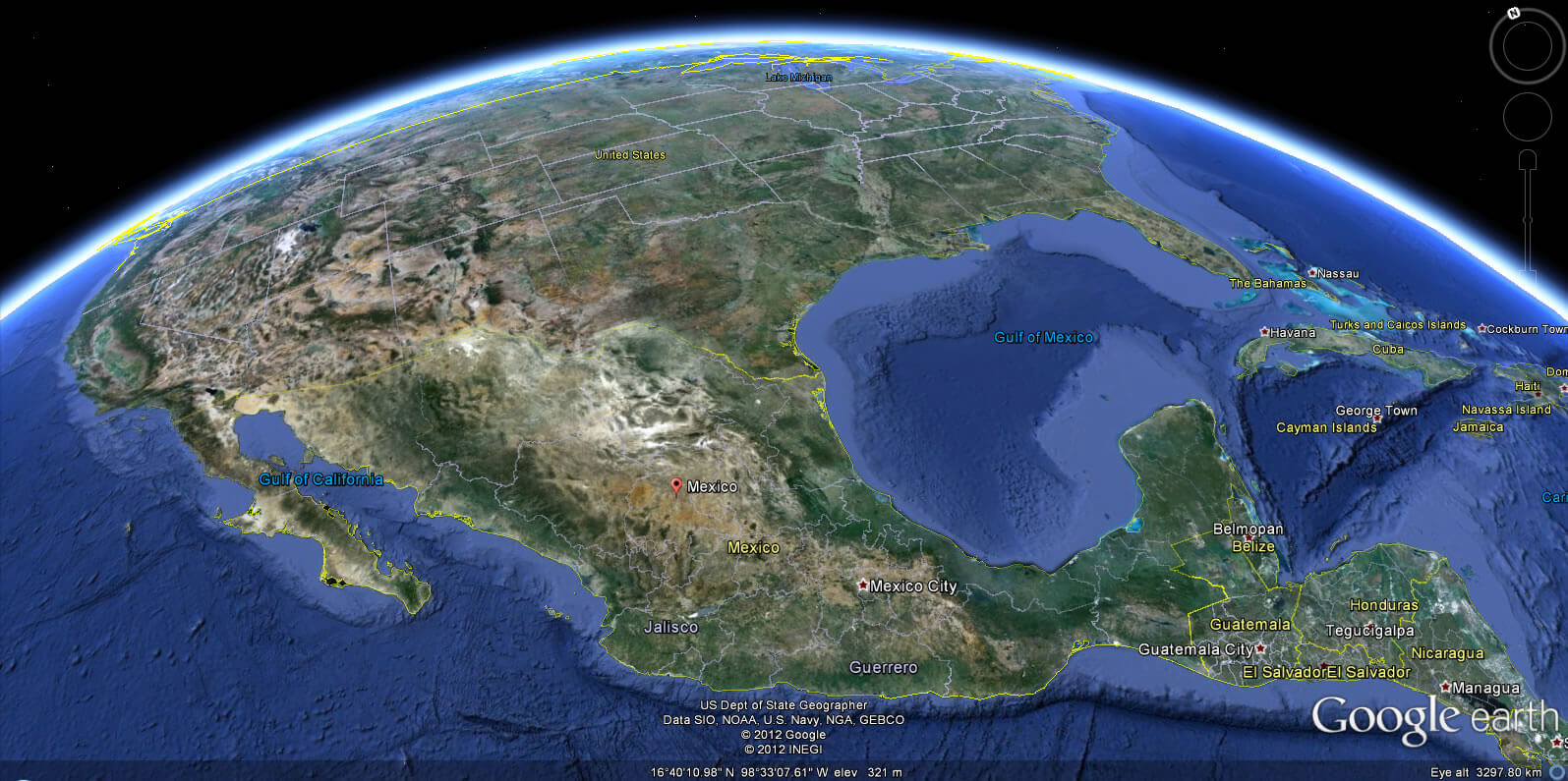
- world map
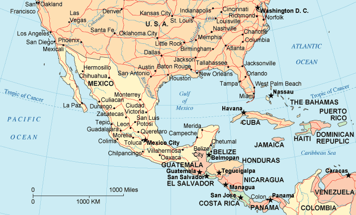
- north america map
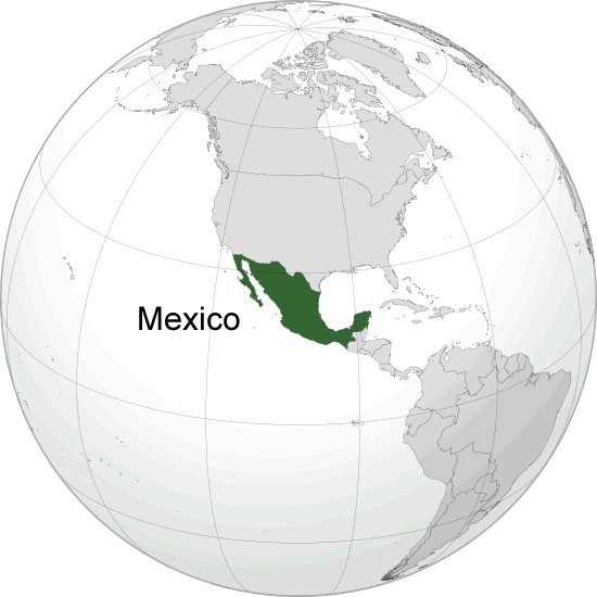
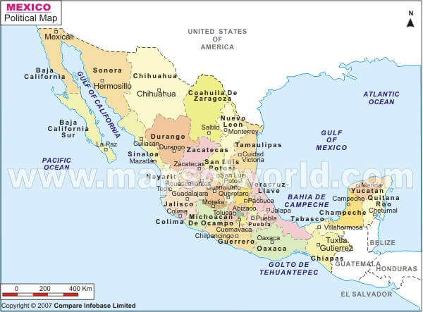
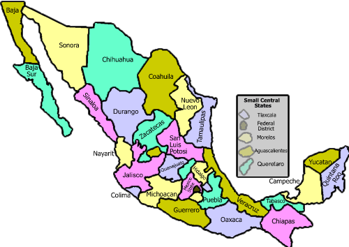
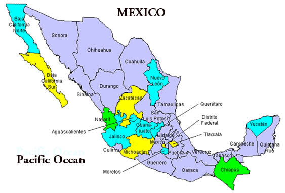
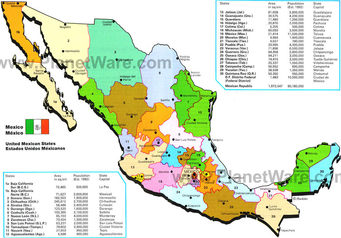
- mexico map
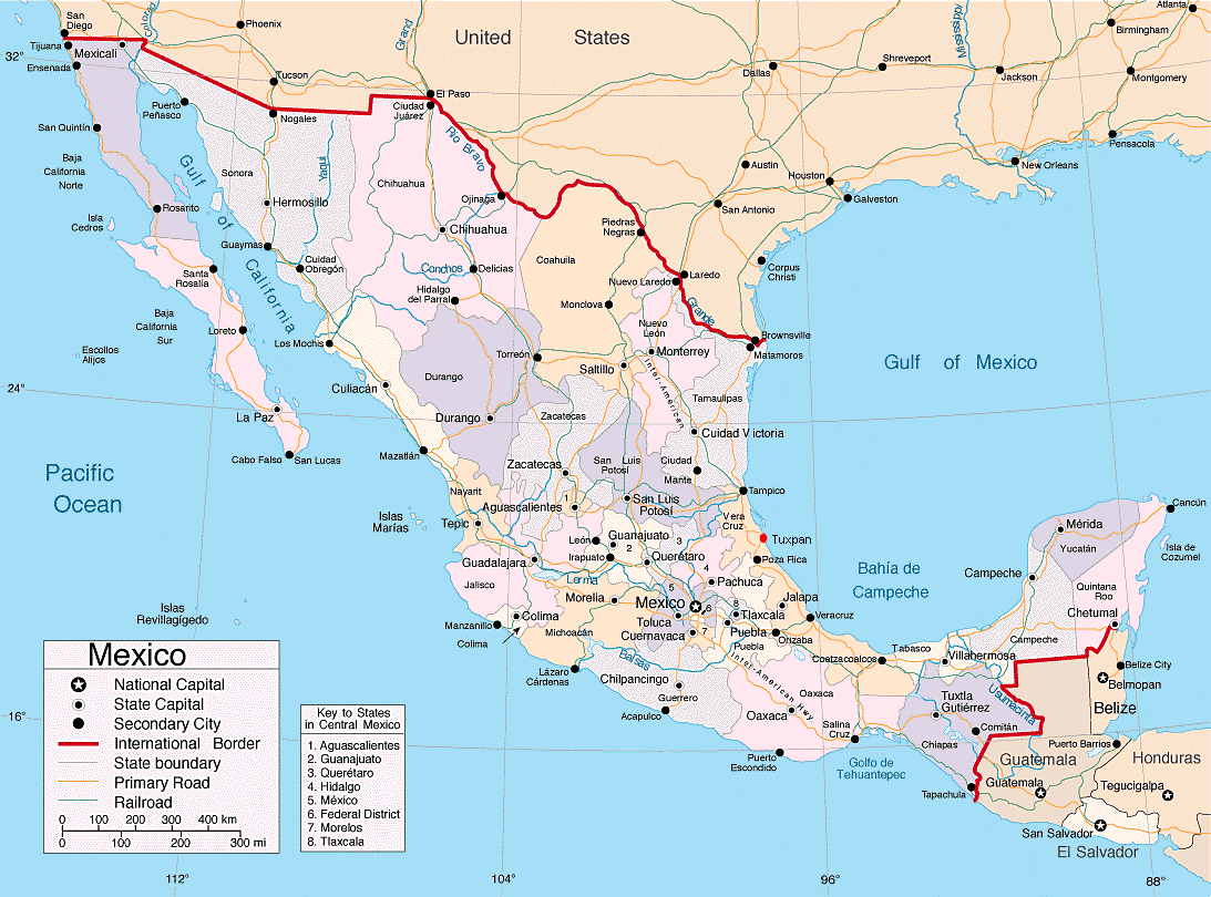
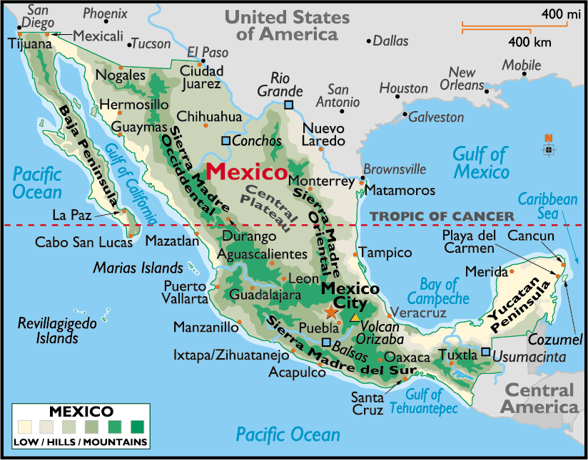
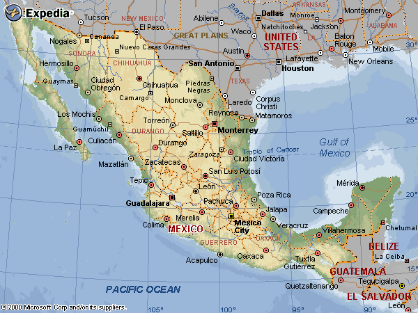
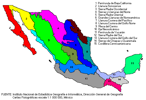
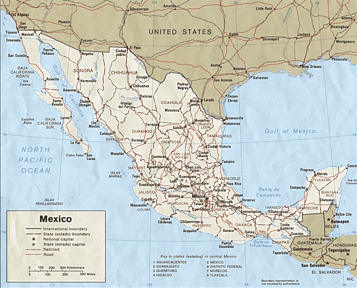
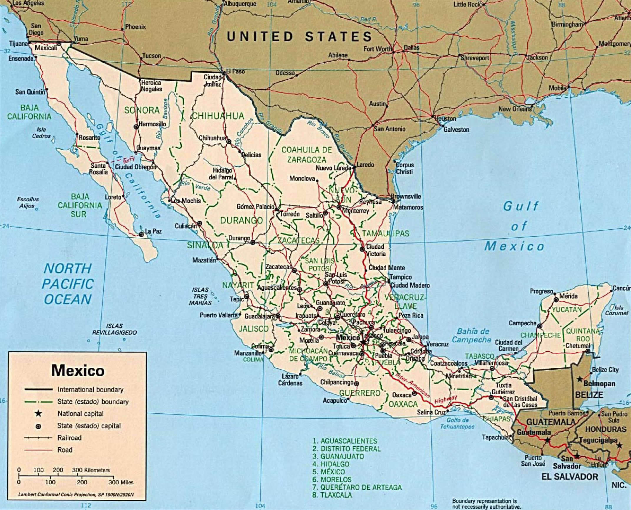
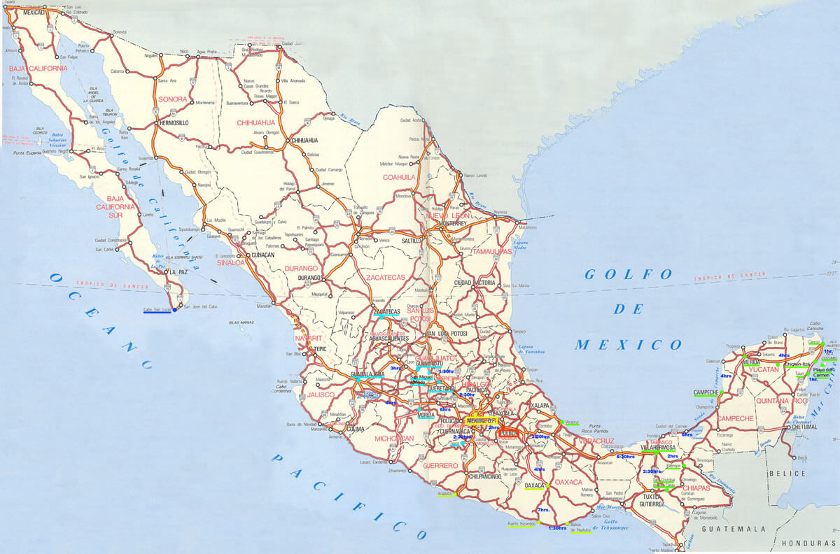
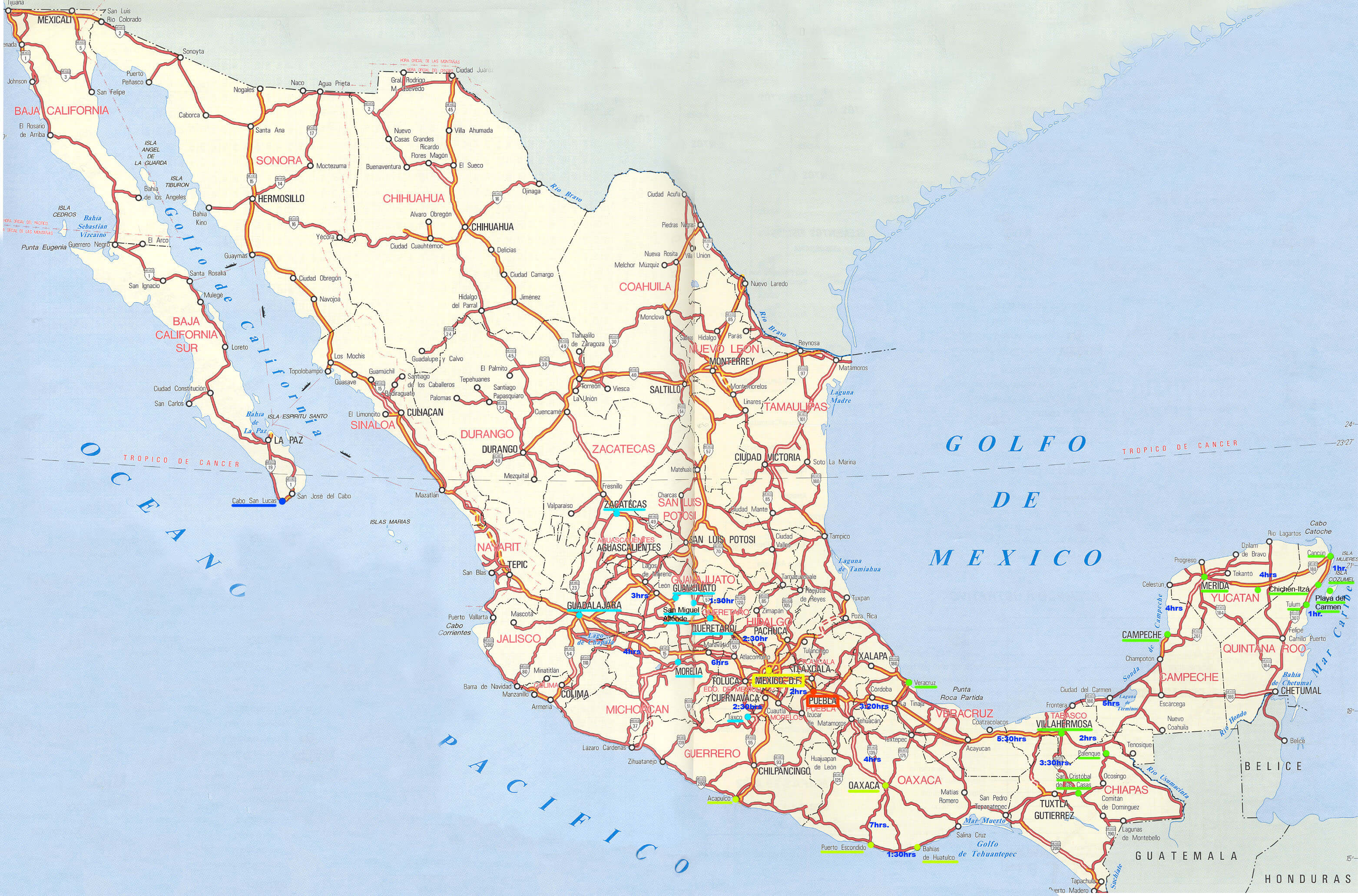
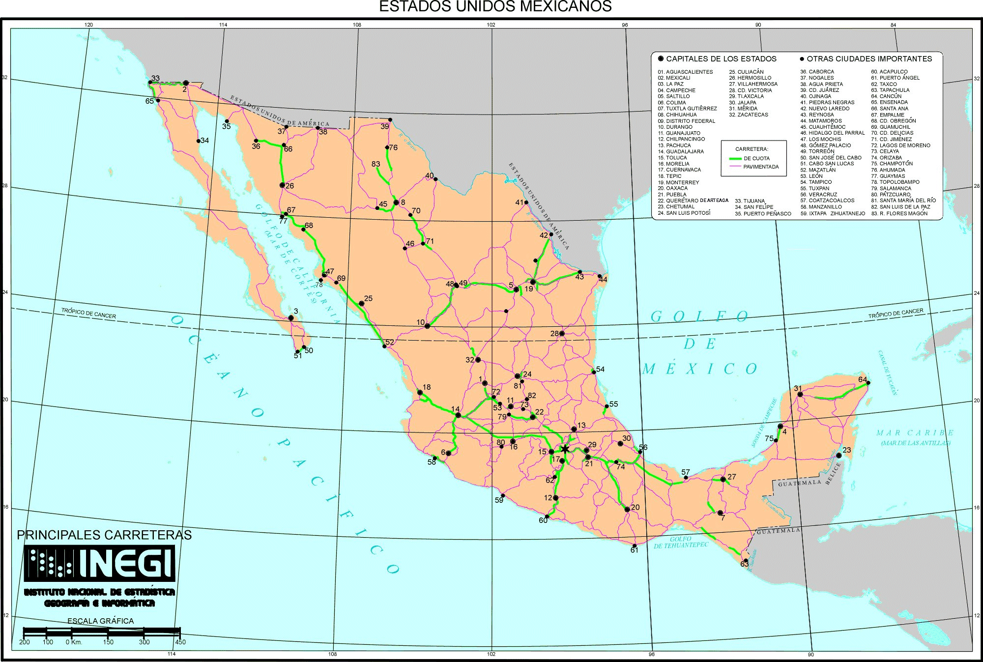
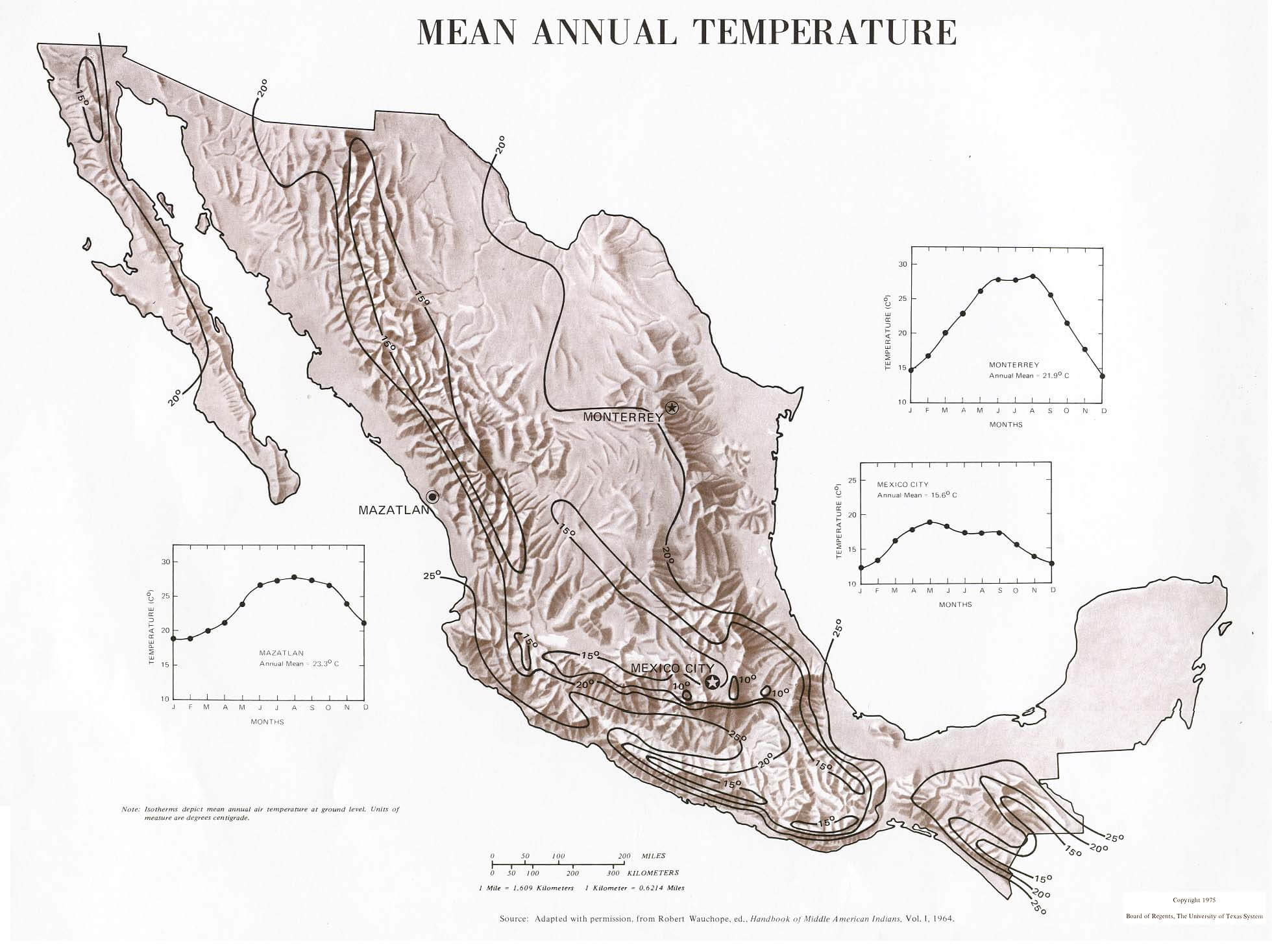
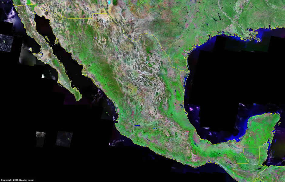
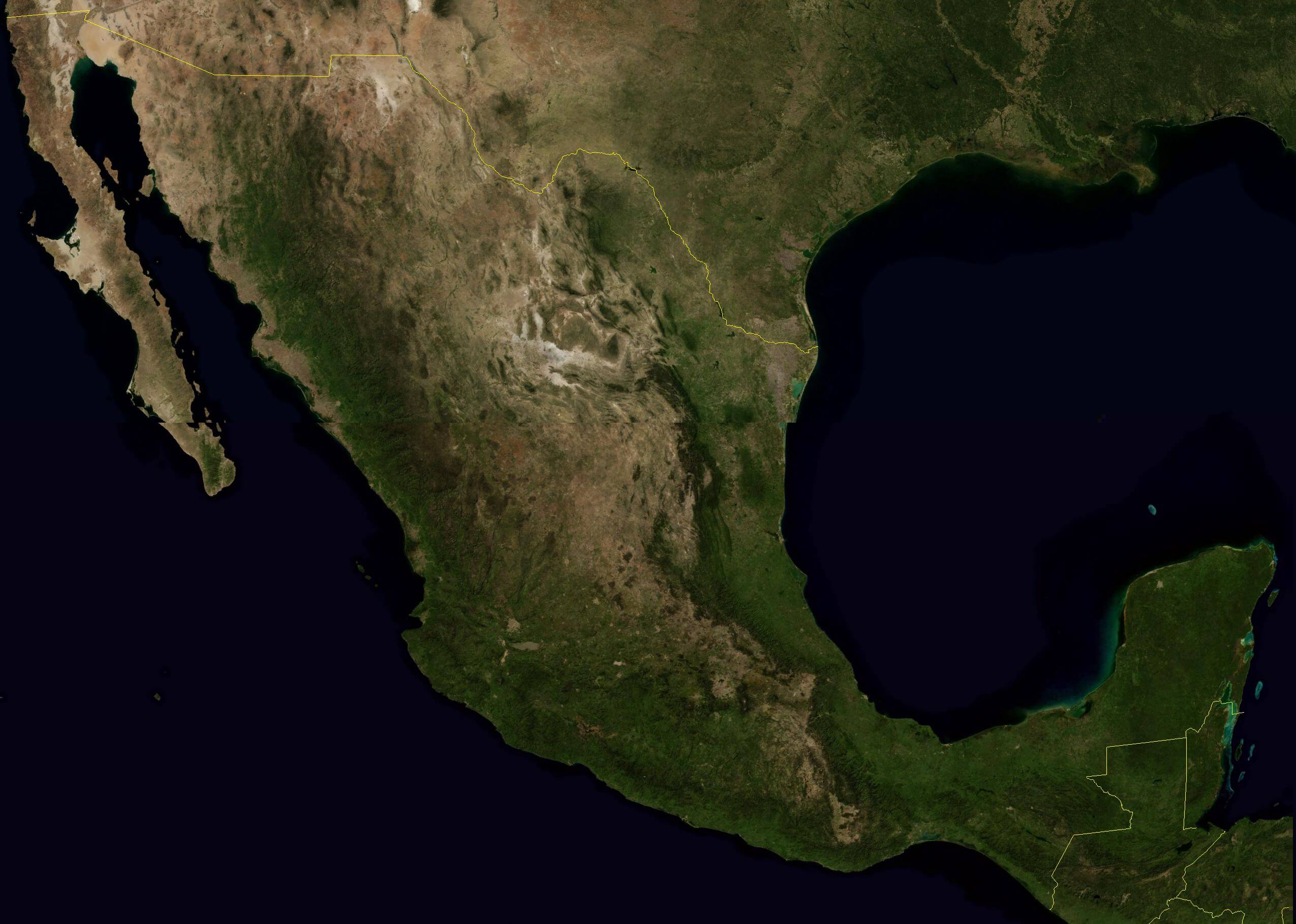
Map of Mexico
Navigate map of Mexico, Mexico country maps, satellite images of the Mexico, Mexico largest city maps, political, physical map of Mexico, driving directions and traffic maps.
- Capital : Mexico City
- Population : 115,296,767
- GDP : 1.154 trillion
- Per Capita : 10,153
- Calling Code : +52
- Jobless Rate : 4.47%
- Time Zone : -8 -6
Find desired maps by entering country, city, town, region or village names regarding under search criteria. On upper left Map of Mexico (+) beside zoom in and (-) sign to to zoom out via the links you can visit. Mexico Map move the mouse over it via (left click) and clicking the image you can drag. Right upper Map, Satellite, Terrain icons via the map view, satellite, hybrid and terrain map can be switch between images.
World Continents Map
North America Map Europe Map Asia Map South America Map Oceania Map Antarctica MapMexico Google Map, Street Views, Maps Directions, Satellite Images
A collection of Mexico Maps
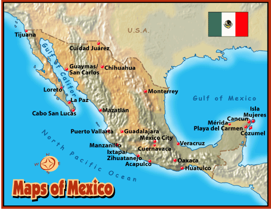

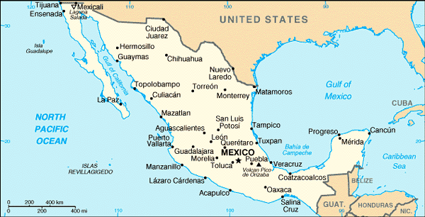


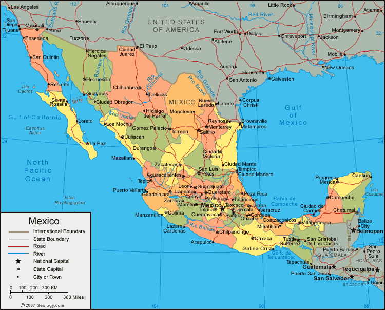

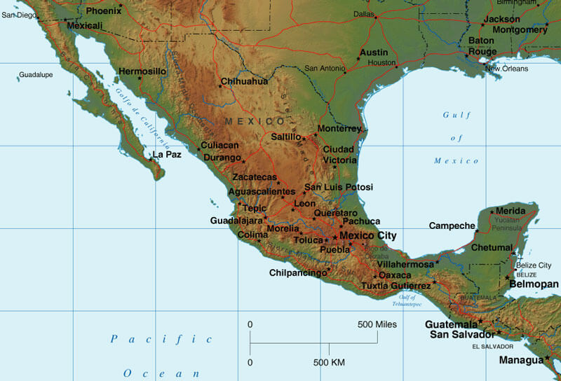
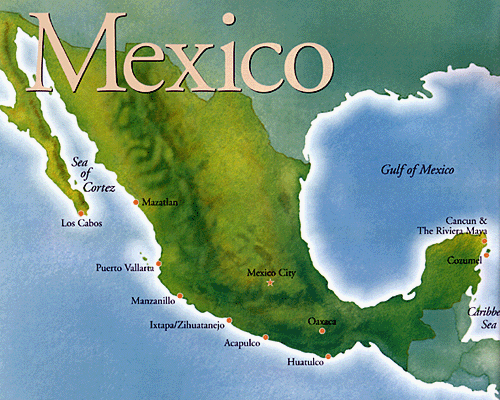
Largest Cities Map of Mexico
Acapulco Map - Aguascalientes Map - Cancun Map - Mexico City Map - Ciudad Juarez Map - Cuernavaca Map - Culiacan Map - Durango Map - Guadalajara Map - Hermosillo Map - Leon Map - Matamoros Map - Merida Map - Monterrey Map - Morelia Map - Oaxaca Map - Pachuca Map - Puebla Map - Queretaro Map - Reynosa Map - Saltillo Map - San Luis Potosi Map - Tampico Map - Tijuana Map - Toluca Map - Torreon Map - Tuxtla Gutierrez Map - Veracruz Map - Villahermosa Map - Jalapa Map -Mexico Google Map, Street Views, Maps Directions, Satellite Images
Submit URL to Mexico :
Copyright Turkey Travel Guide - 2005 - 2026. All rights reserved. Privacy Policy | Disclaimer