Complete World Map Guide: Historical Maps, Mega Cities, World Nations and Political Maps
Discover our comprehensive collection of World Maps, featuring a diverse selection of historical, political, and thematic maps created for students, travelers, researchers, and geography enthusiasts. This collection includes World Map Drawings, World Map Europe 1648, World Maps in Local Languages, World Maps with Latitude and Longitude, and World Maps with Countries, making it easier to explore historical borders, geographic coordinates, cultural diversity, and international boundaries. These maps provide valuable insights into the world’s political, historical, and geographical structure.
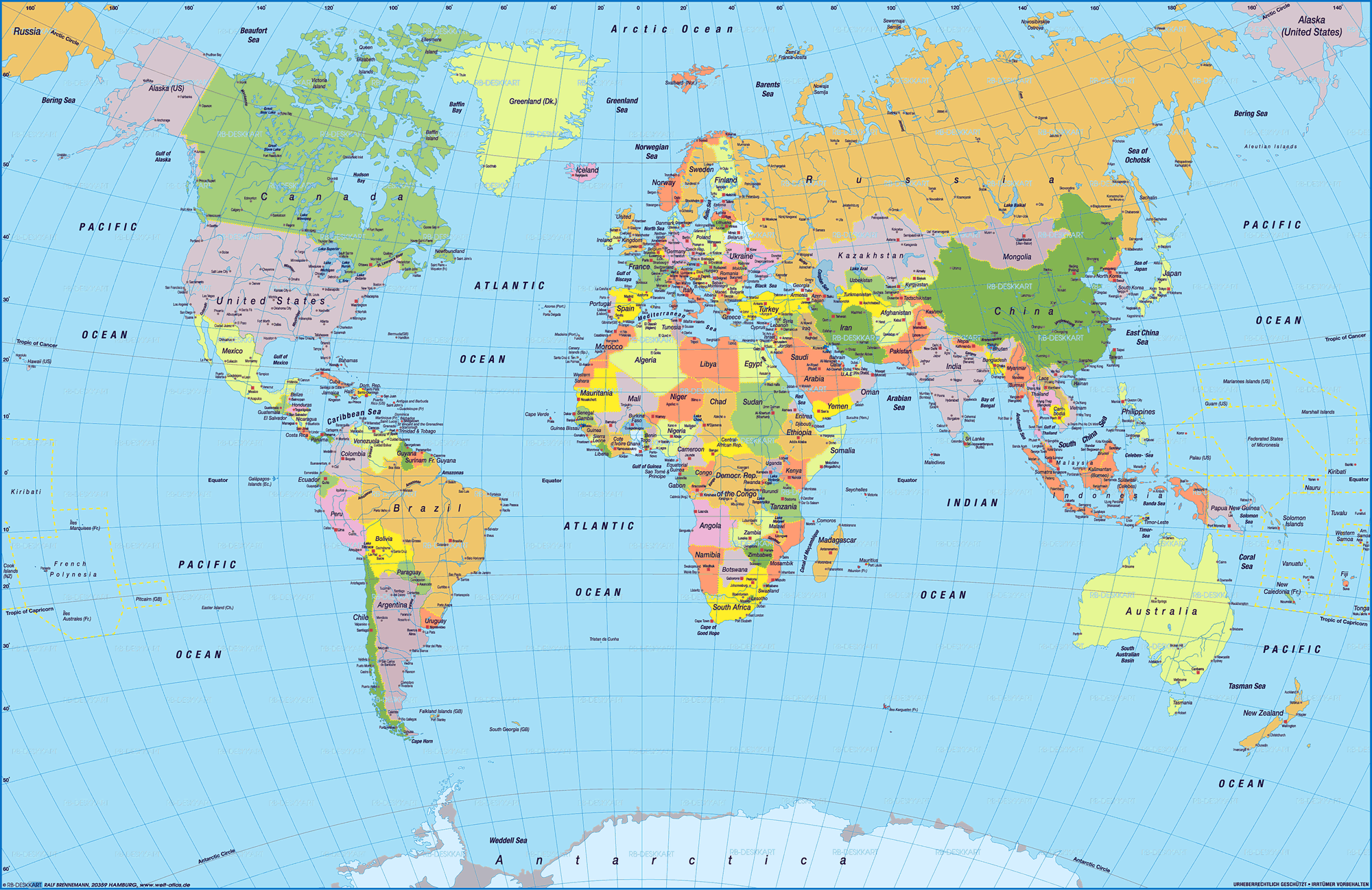
World Map Latitude Longitude

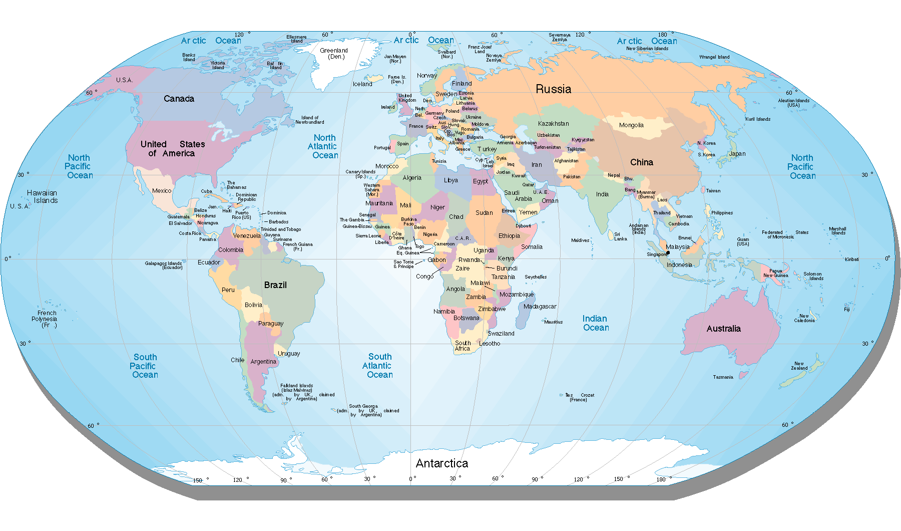
World Nations Map
Whether you are searching for a World Nations Map for education, a Political World Map with Countries for research, or a detailed World Map for travel planning and exploration, our collection offers reliable and high-quality resources. From historical Europe maps and multilingual world maps to country borders and coordinate systems, these maps serve as essential tools for learning, global analysis, and understanding the world from different perspectives.
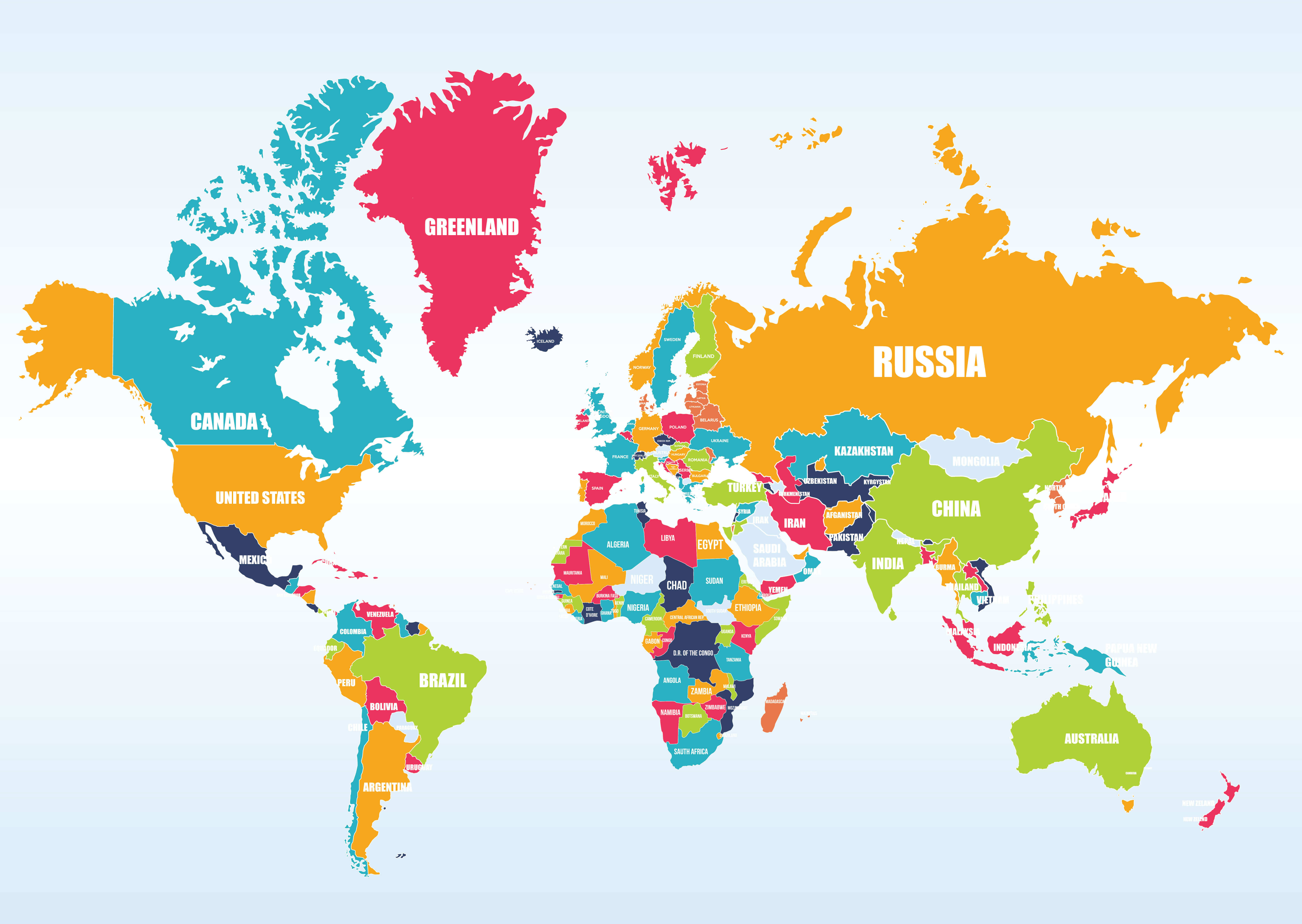
World Map With Countries
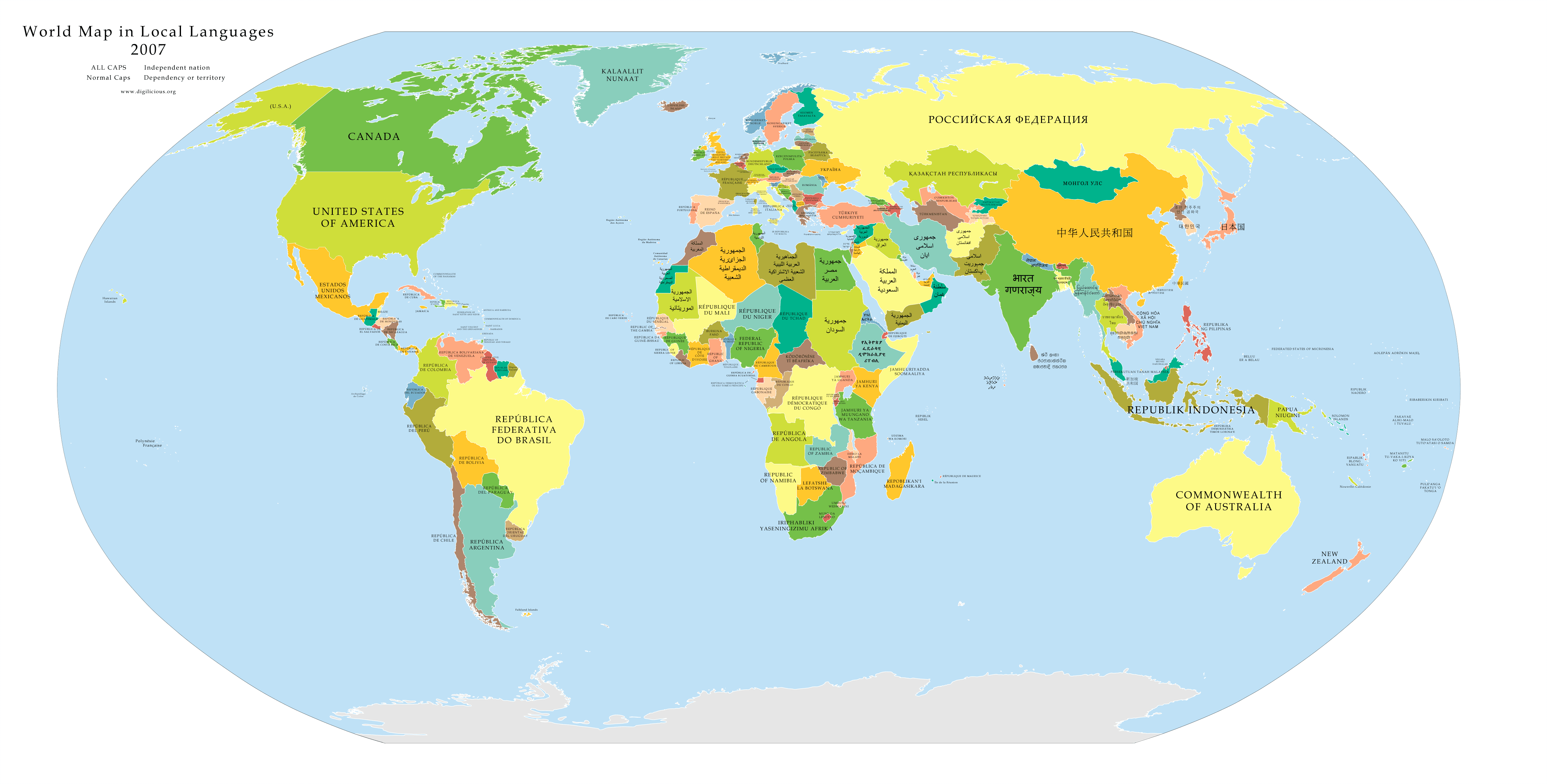
World Map In Local Languages
World Map With Countries Political
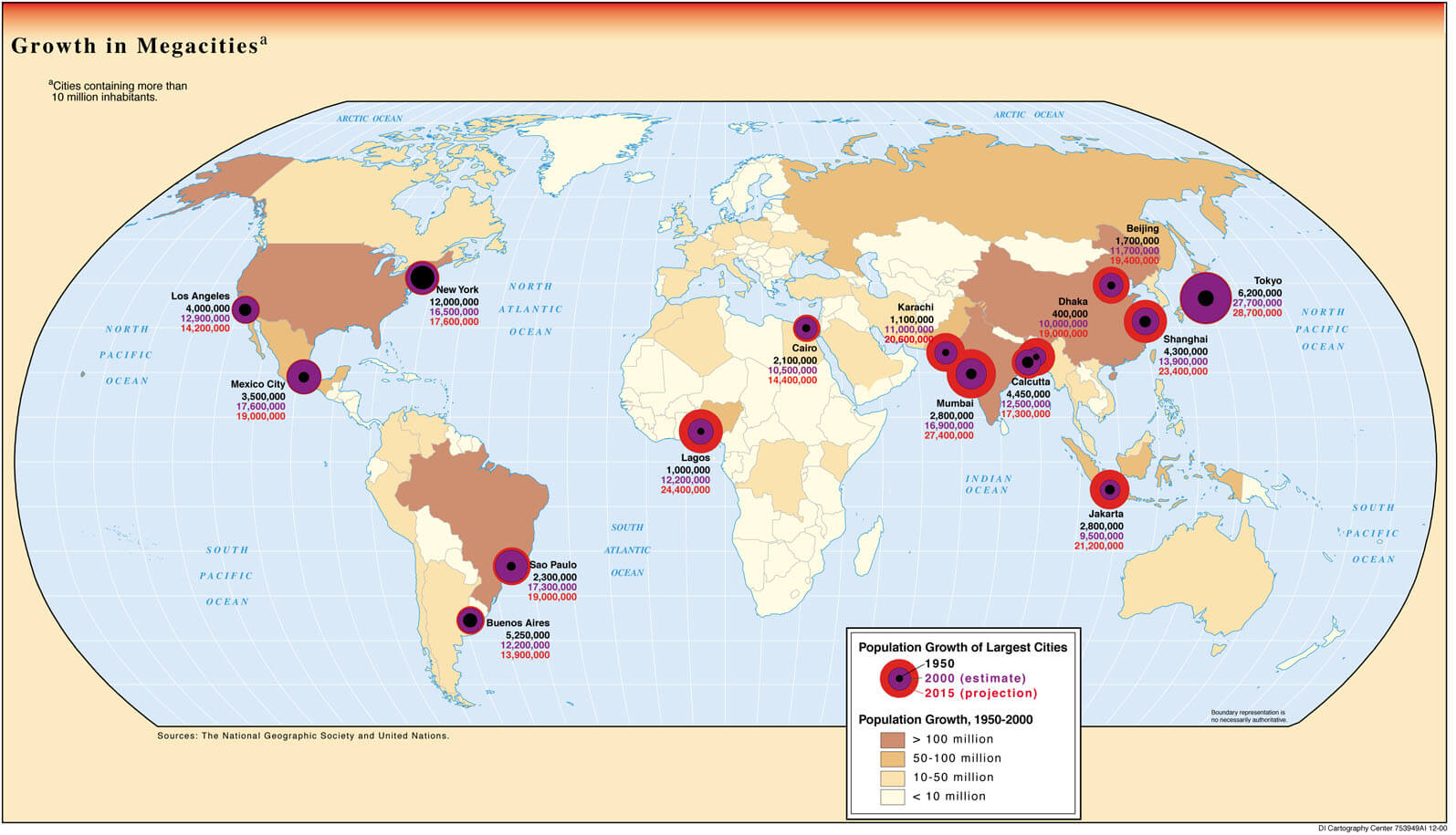
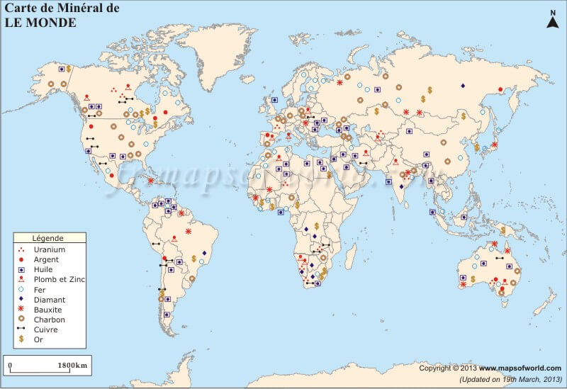
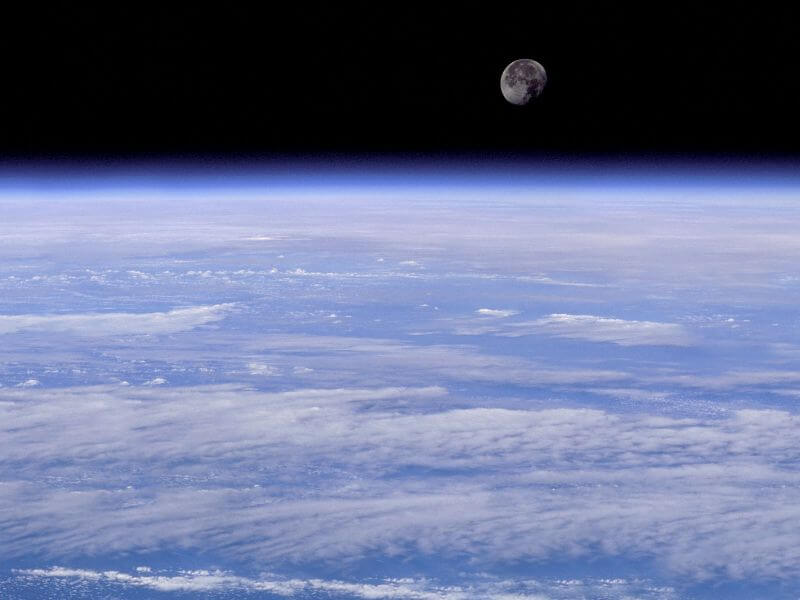
Discover specialized world maps such as the World Mega Cities Map, World Mineral Map, World Nuclear Map, and World Map Under 1 Dollar Living Population, providing valuable insights into global urbanization, natural resources, geopolitical issues, and economic conditions. Our collection also includes creative and thematic visuals like the World Map White Black, World Map with Flags, and World Moon, making it a comprehensive source for exploring the world from historical, political, scientific, and thematic perspectives.
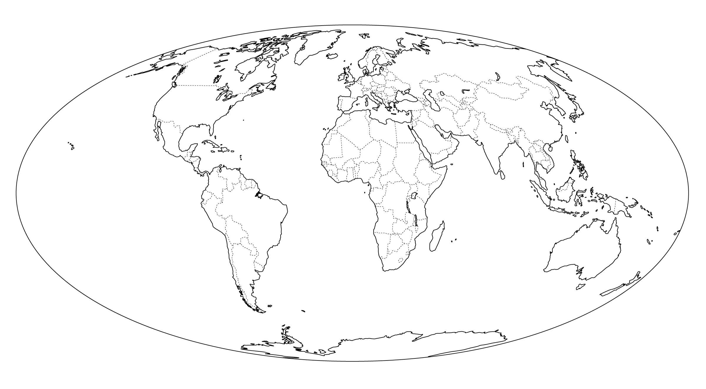
World Map Drawing
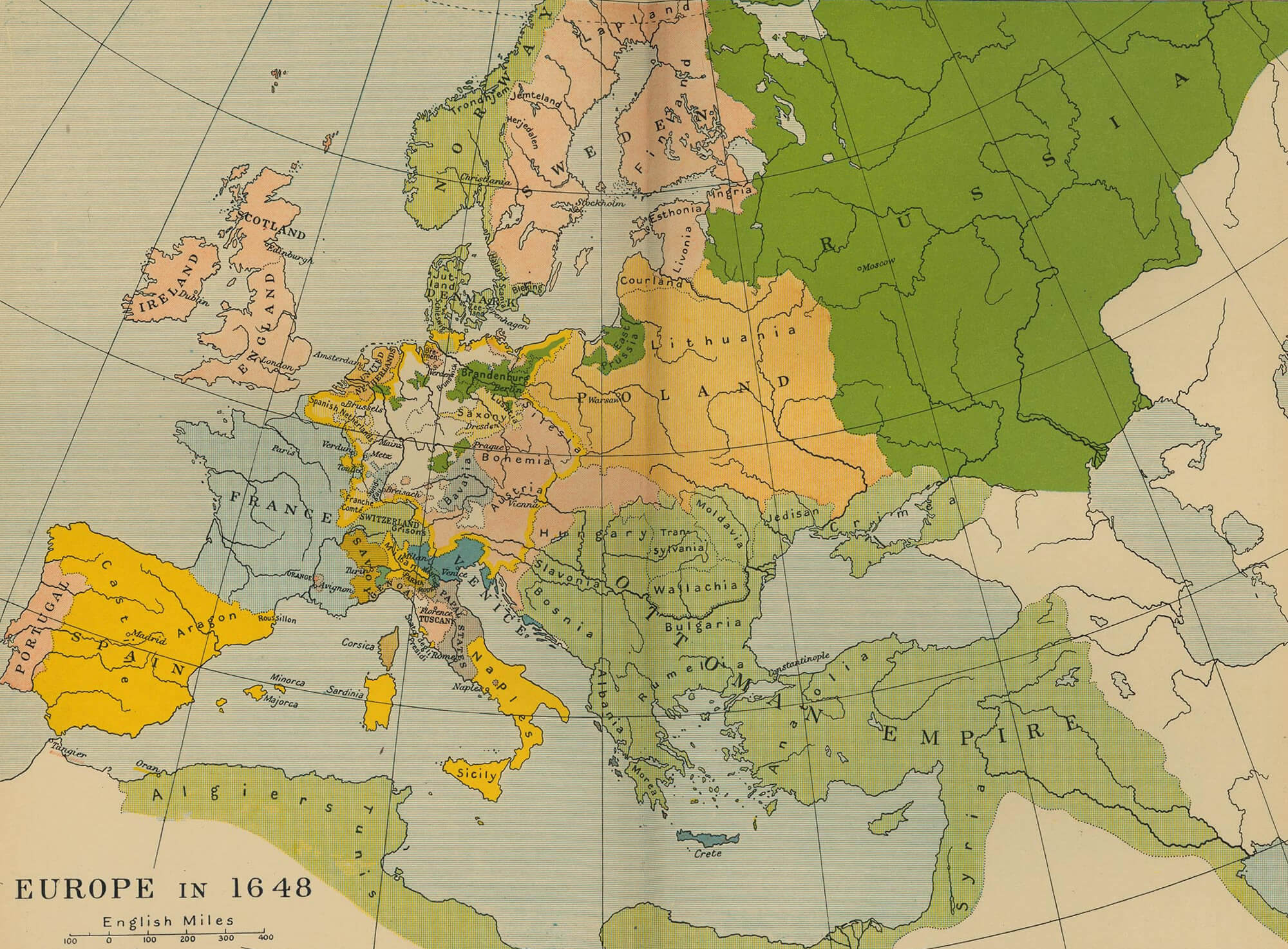
World Map Europe 1648
World Map Turkey
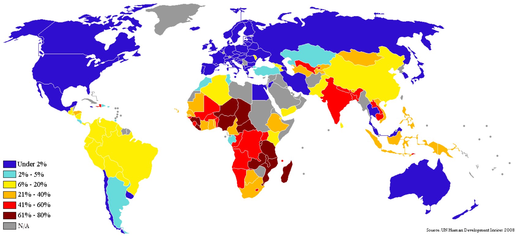
World Map Under 1 Dollar Living Population
World Map White Black

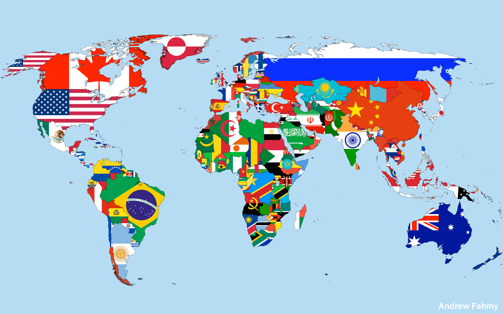
World Map With Flags
World Mega Cities Map
World Mineral Map
World Moon
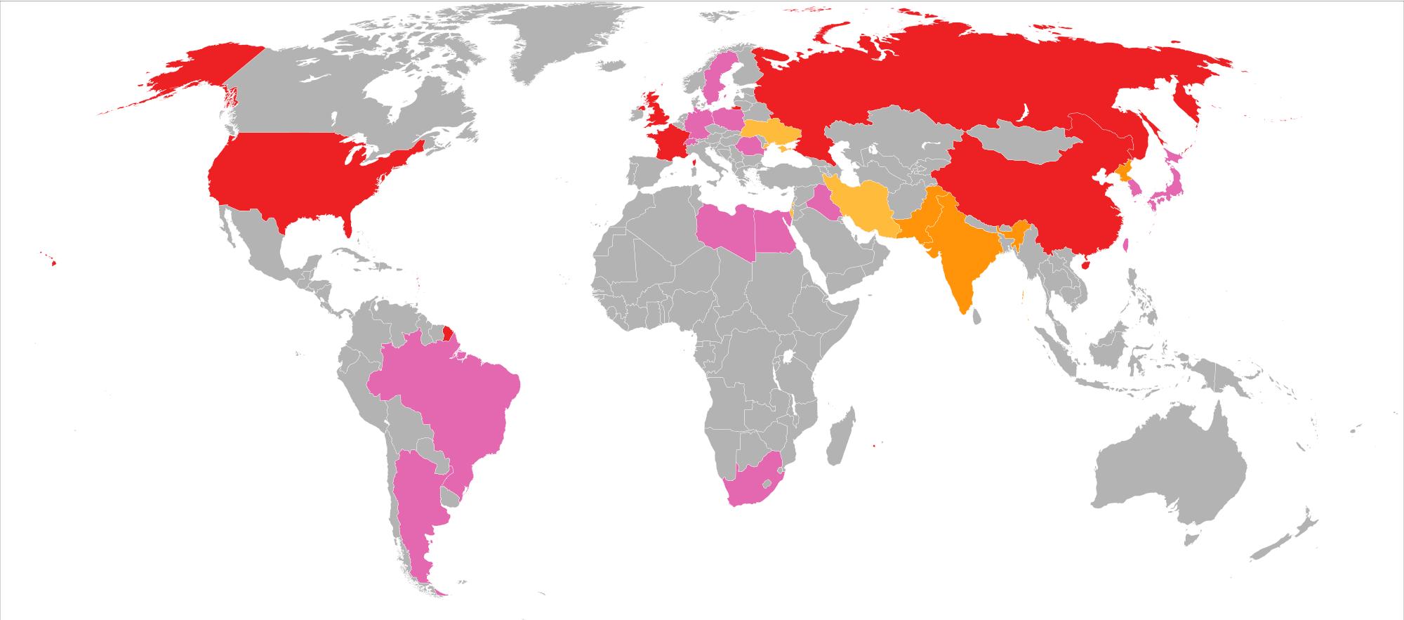
World Nuclear Map
Feel free to explore these pages as well:
- World Regions Maps
- World Historical Maps
- World Geological Maps
- World Blank Maps
- Discover Satellite World Maps
- World Countries Languages Map
- Discover Thematic World Maps
- Discover Unique World Maps
- Browse the Best World Maps
- Discover Detailed World Maps
- Complete World Map Guide
- World Maps Collection
- Explore Detailed World Maps
- Explore World Maps
Copyright Turkey Travel Guide - 2005 - 2026. All rights reserved. Privacy Policy | Disclaimer