World Geological Maps: Climate, Colonial History, Continents and Geological Maps
Discover our comprehensive collection of World Maps, featuring a diverse range of historical, political, geographical, and thematic maps created for students, travelers, researchers, and geography enthusiasts. This collection includes World Climate Maps, World Colonial Maps from 1810, World Colonization Maps (1600–1700), World Continents Blank Maps, and World Continents Political Maps, making it easier to explore global history, continental divisions, climate systems, and political boundaries. These maps provide valuable insights into how the world has evolved over time, both geographically and politically.
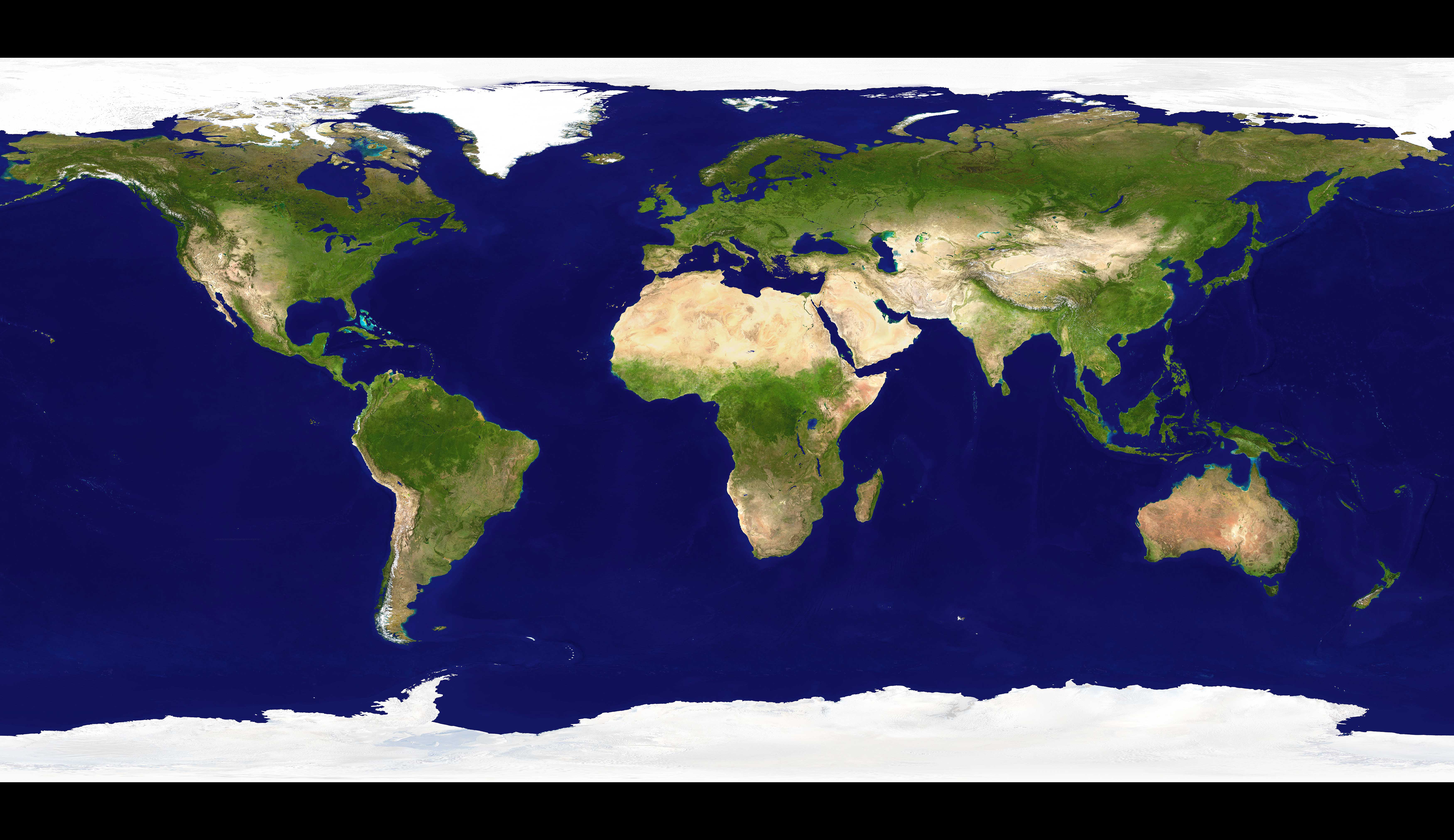
World Earth Satellite Map
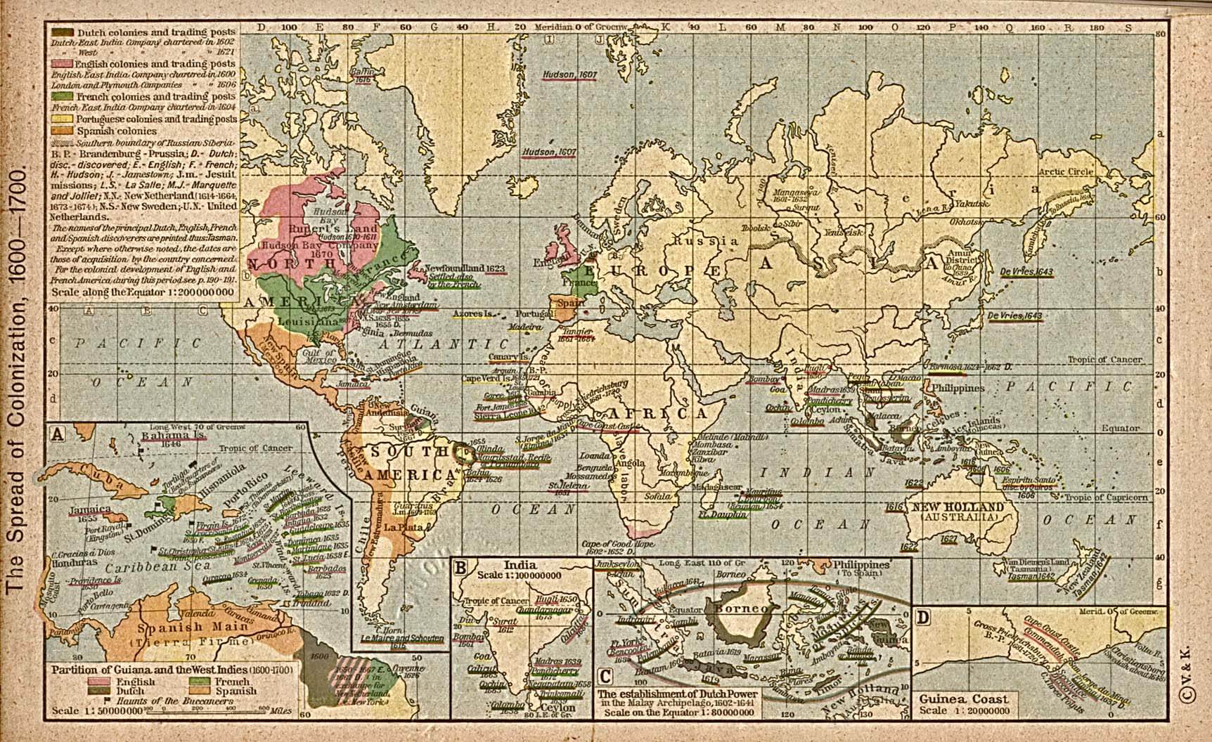
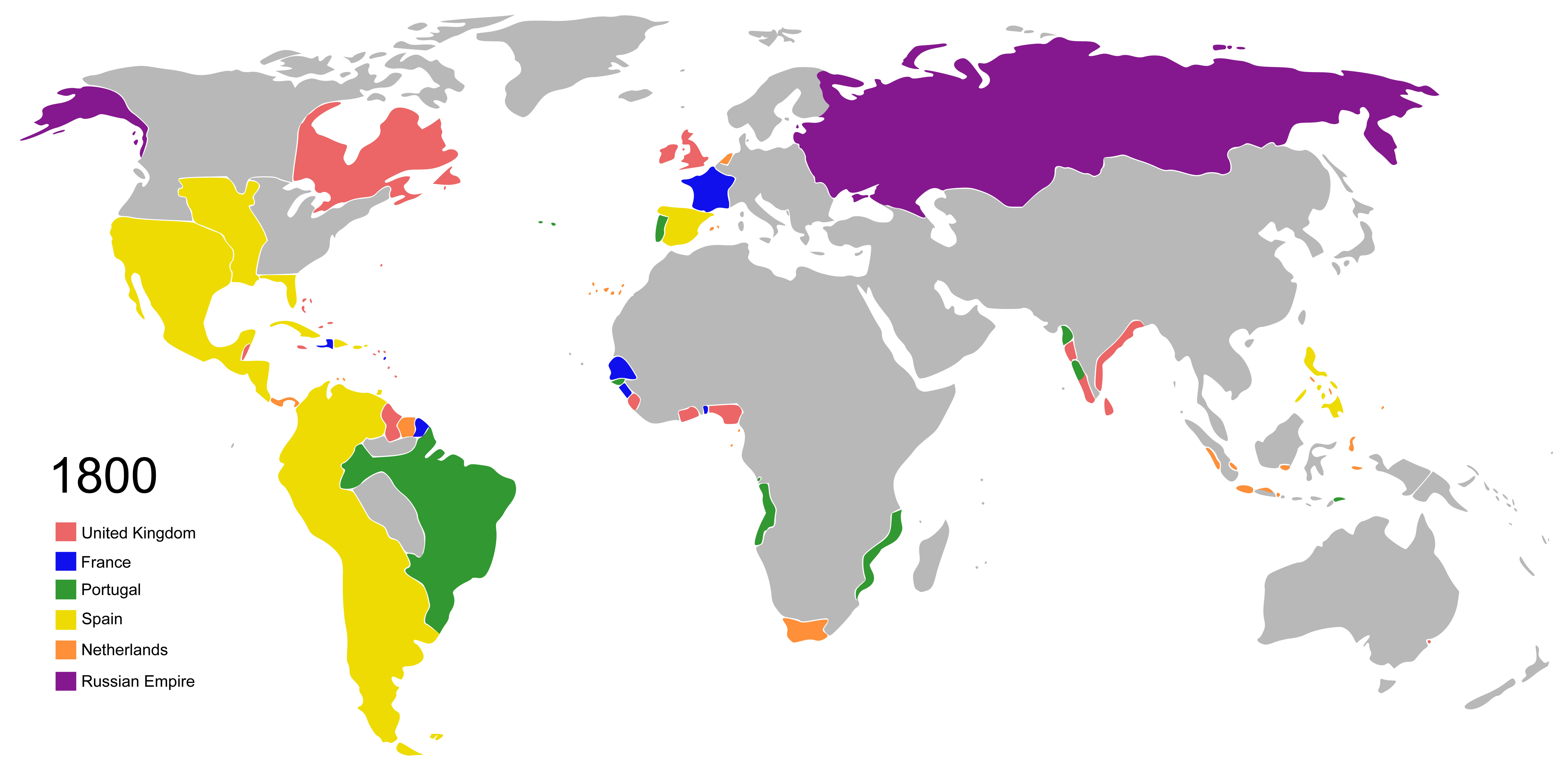
World Colonization Map 1600 1700
Whether you are searching for a World Countries Map for educational purposes, a World Globe Map with Longitude and Latitude for navigation and geographic study, or a thematic map for deeper analysis, our collection offers reliable and high-quality resources. From historical colonial maps and climate visuals to GDP per capita maps, geological maps, and satellite world maps, these resources serve as essential tools for learning, research, travel planning, and global exploration.
World Countries Map
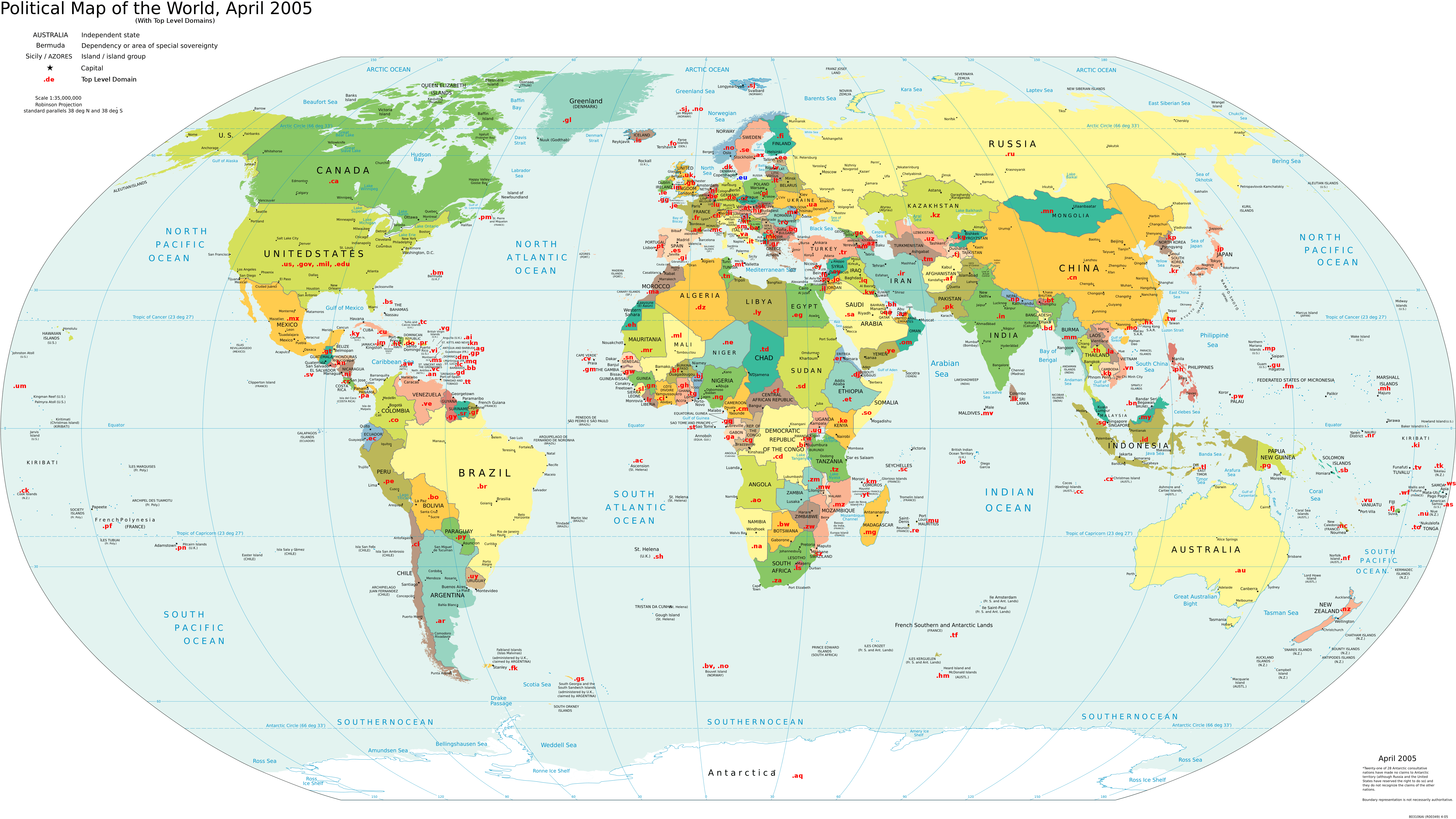
World Domain Extensions Map
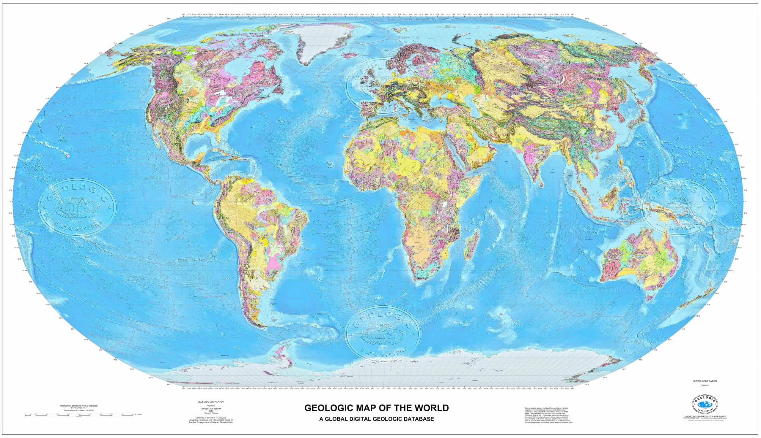
World Geological Map
Discover specialized maps such as the World Countries GDP Per Capita Map 2023, World Domain Extensions Map, World Earth Satellite Map, World Flag Map, and World Geological Map, offering valuable insights into global economies, internet domains, satellite imagery, national identities, and geological structures. From historical colonization routes to modern economic and political data, this world map collection serves as a comprehensive resource for learning, research, travel planning, and global exploration.
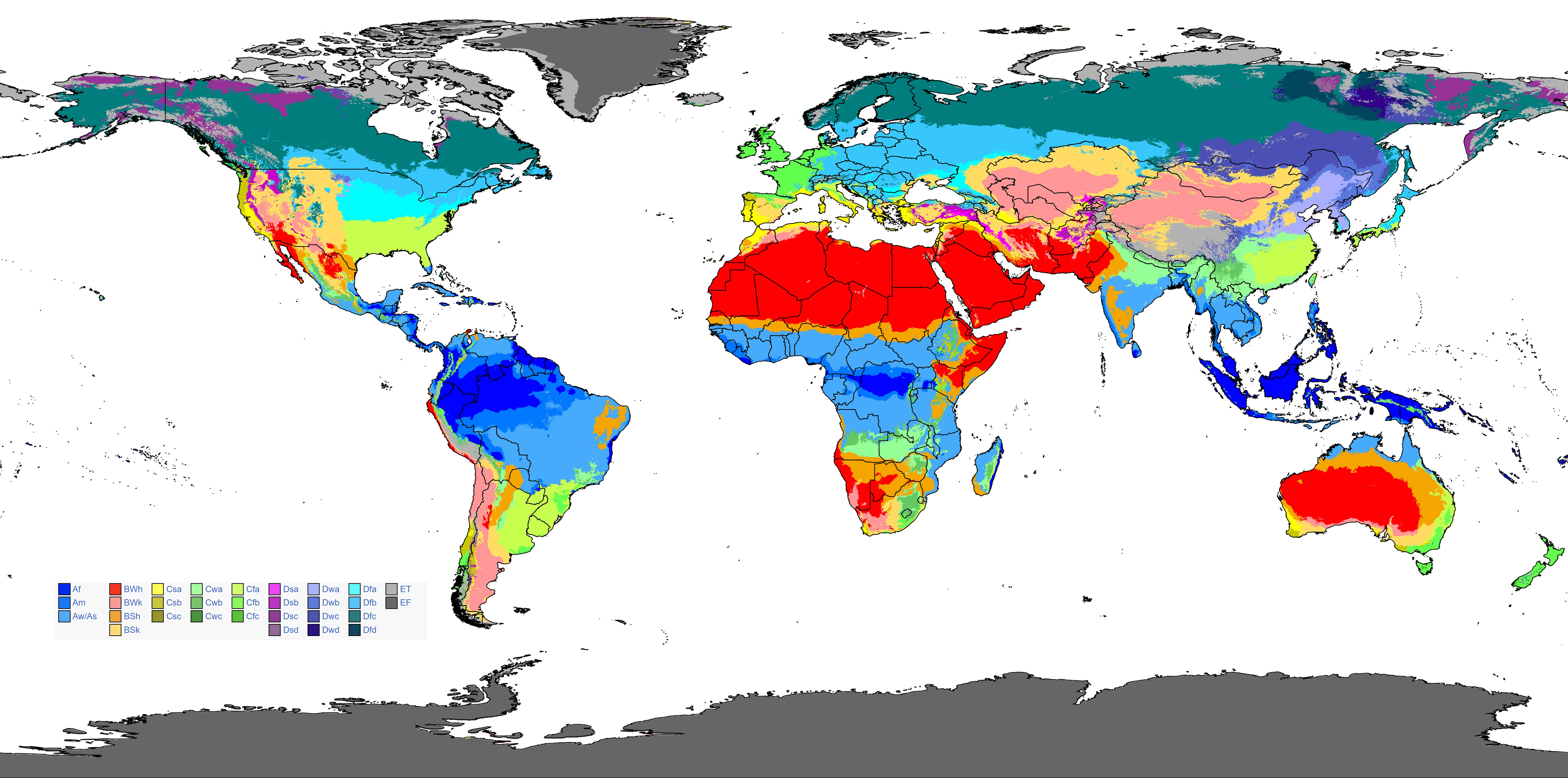
World Climate Map
World Colonial Map 1810 Vector
World Continents Blank Map

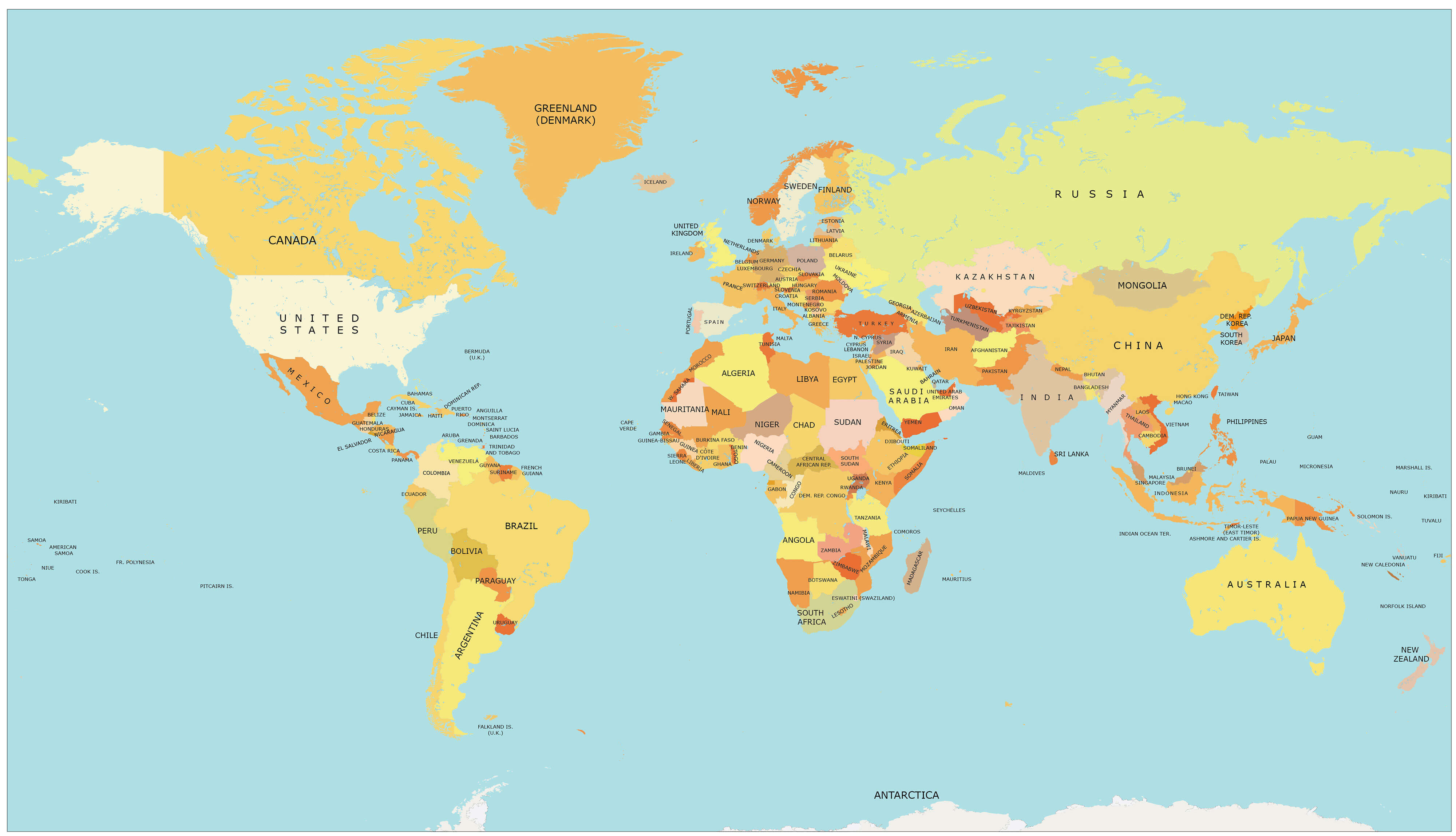
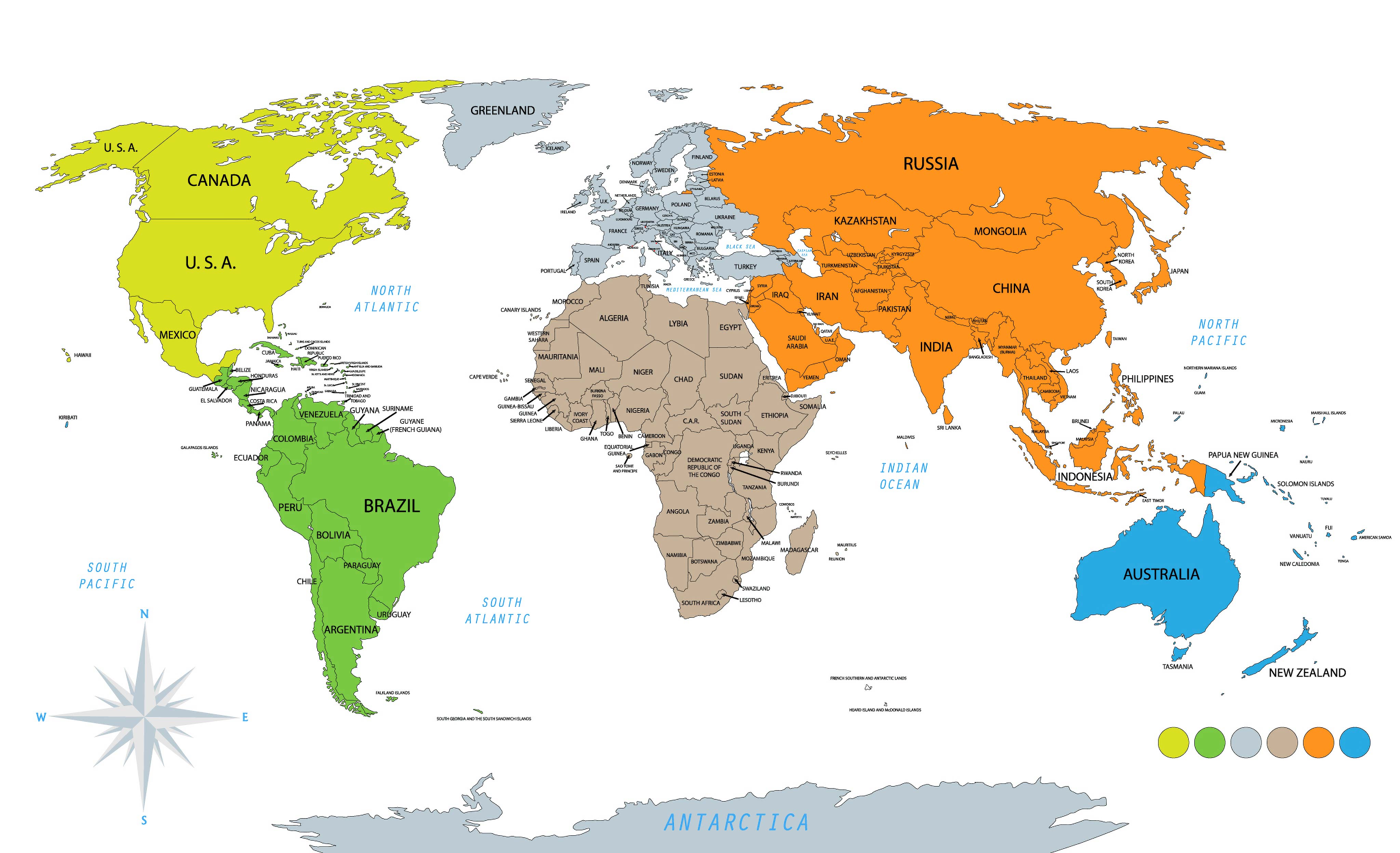
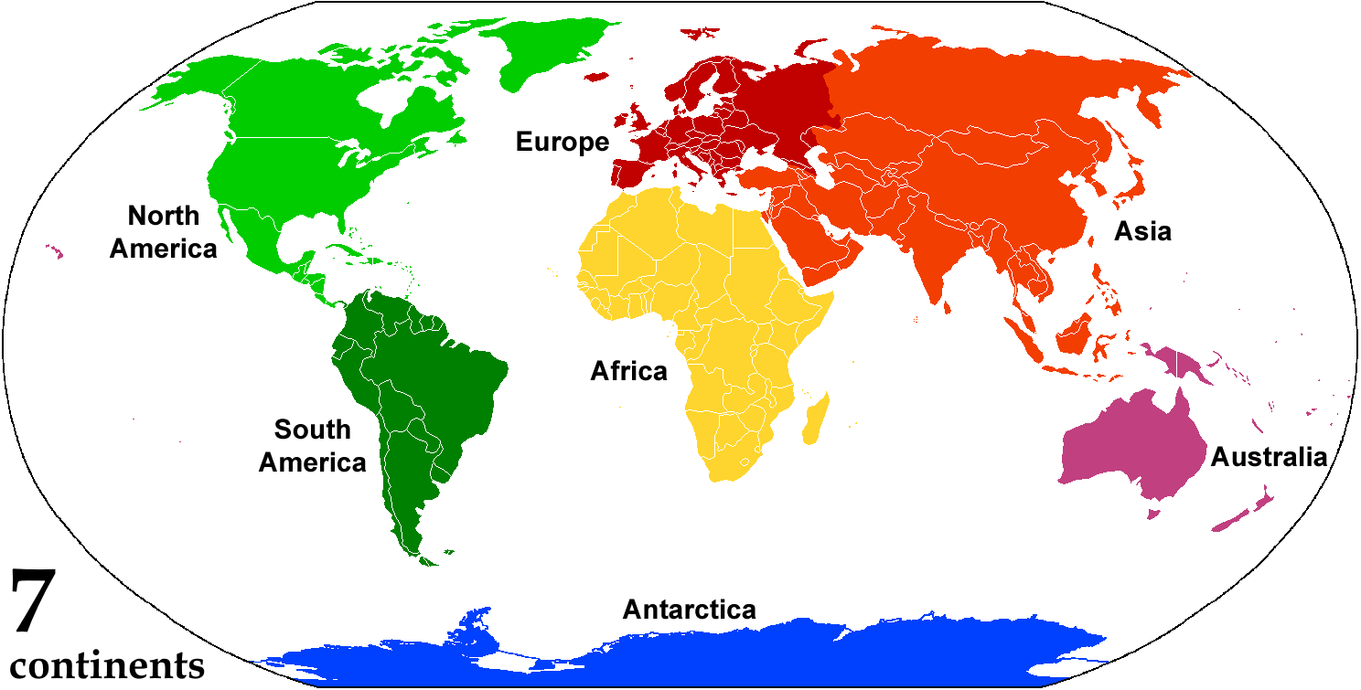
World Continents Map
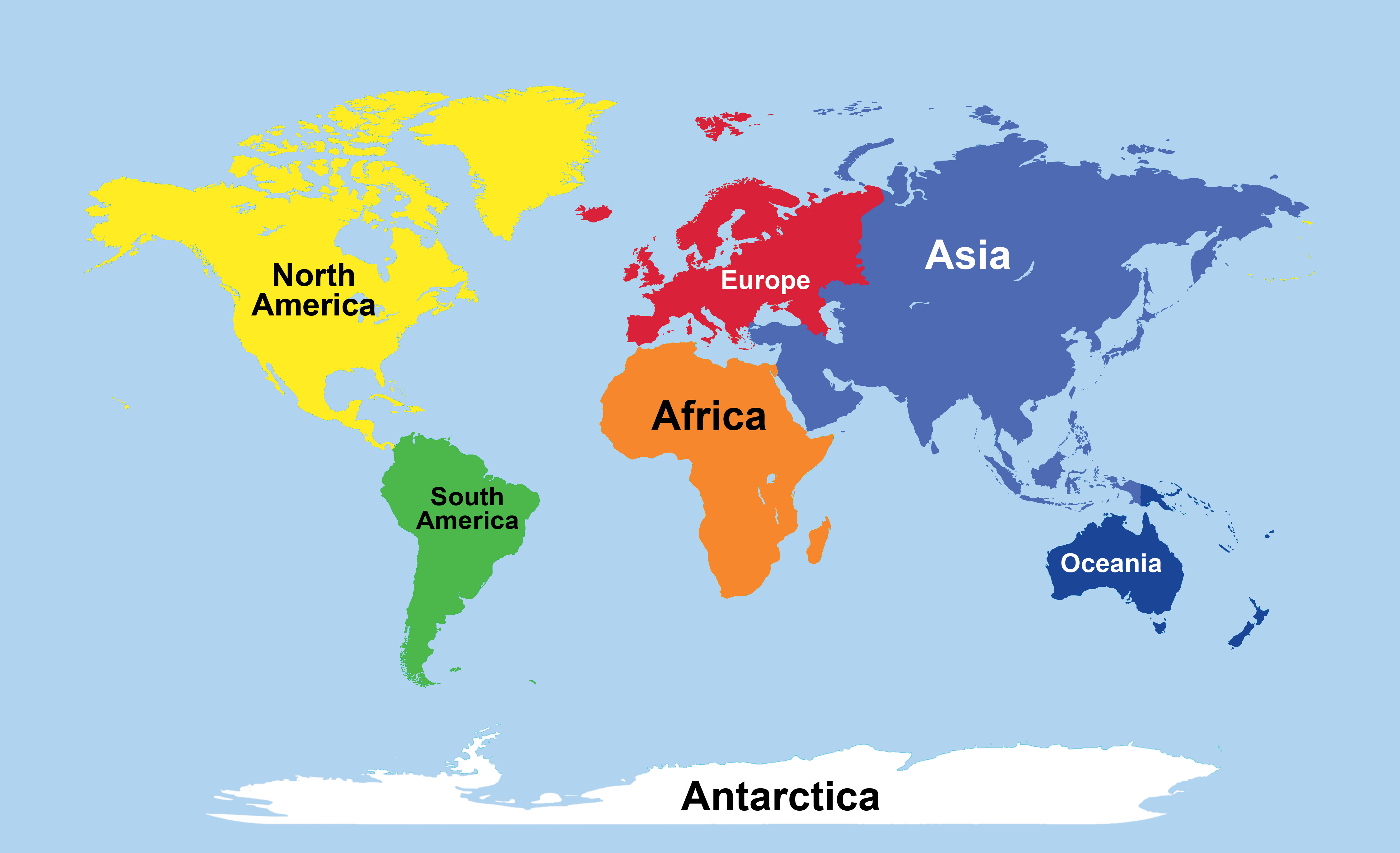
World Continents Political Map
World Continents Map With Countries
World Countries GDP Per Capita Map 2023
-Per-Capita-Map-(2023).jpg)
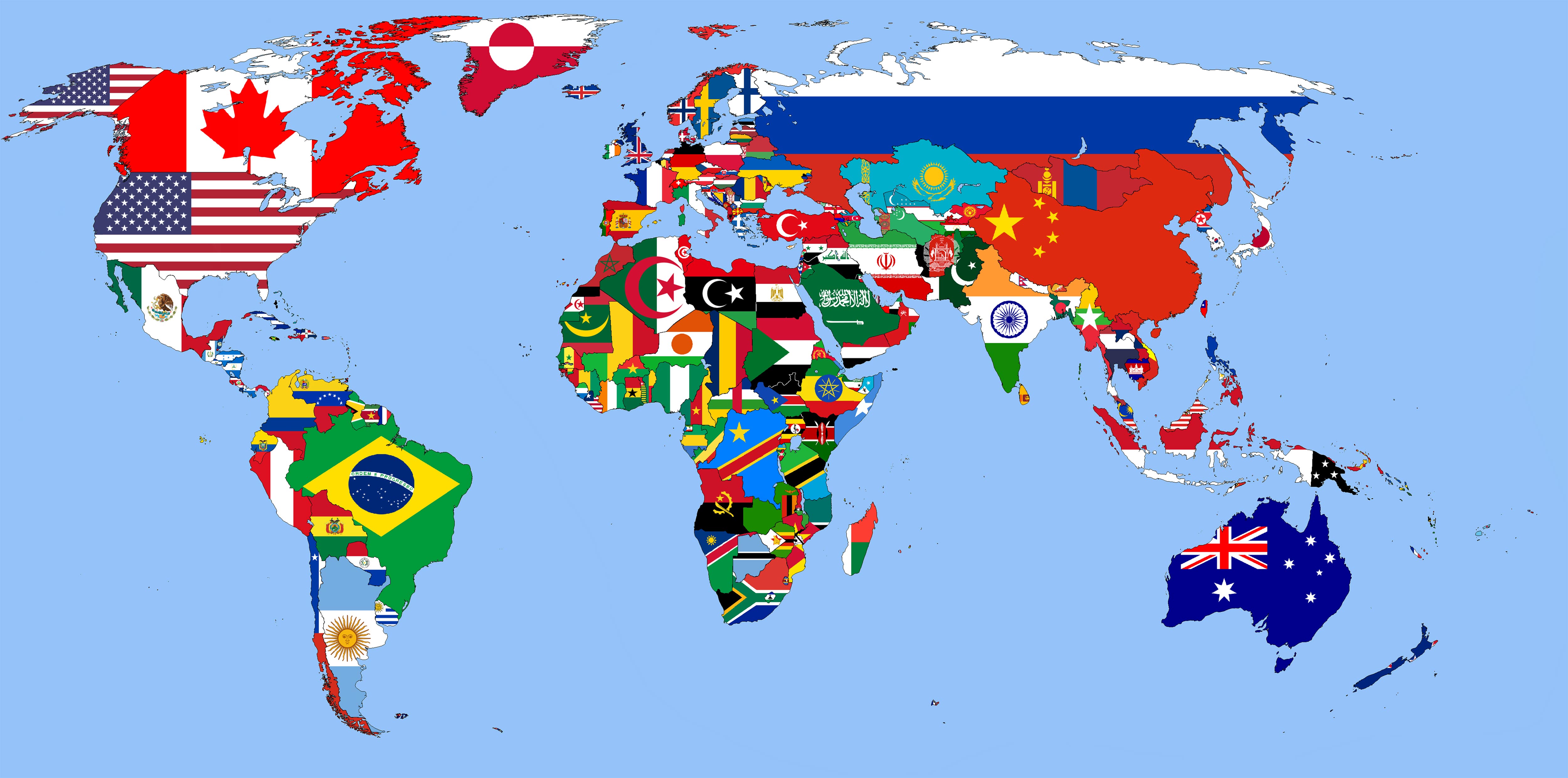
World Flag Map
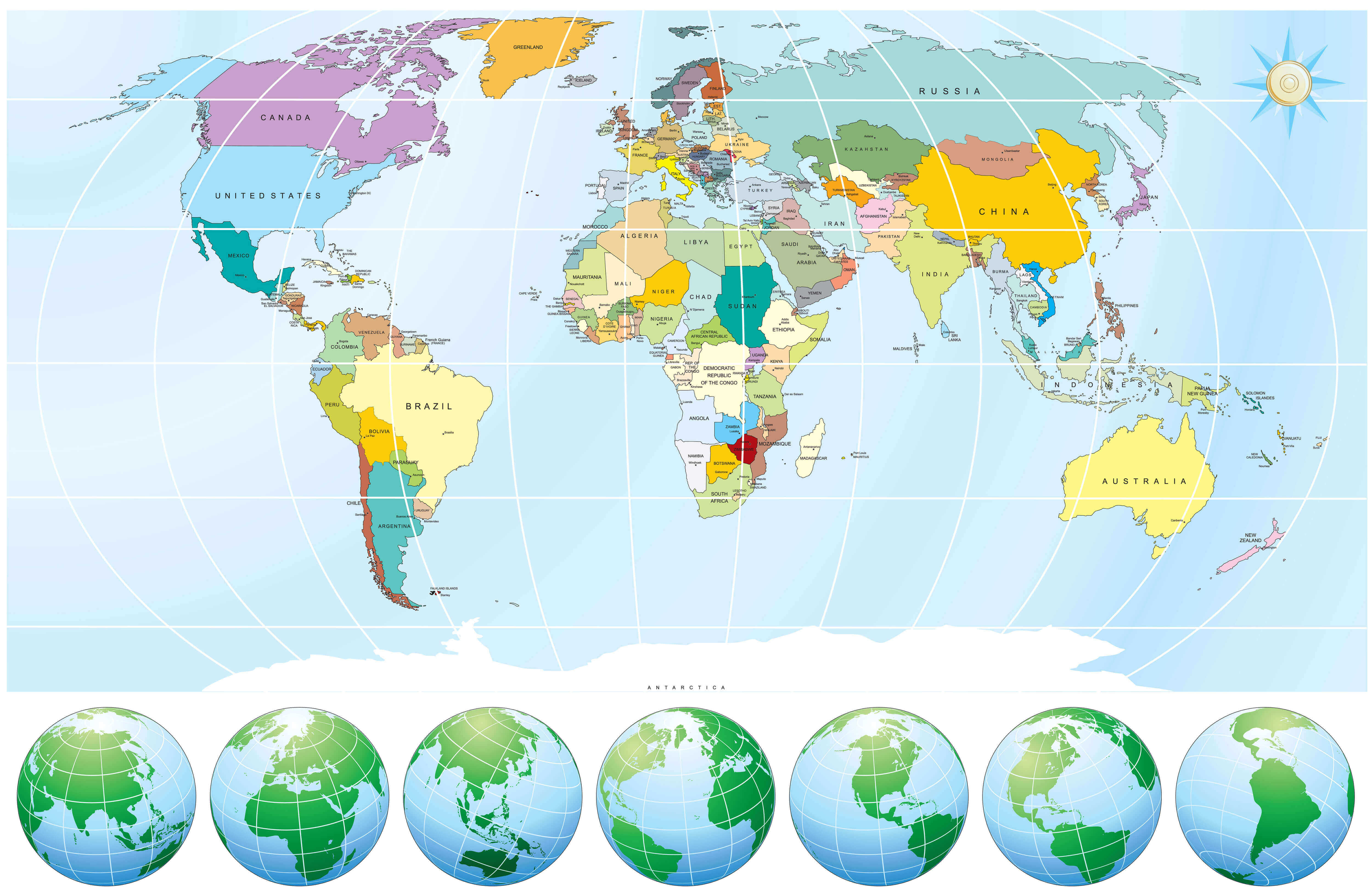
World Globe Map With Longitude Latitude
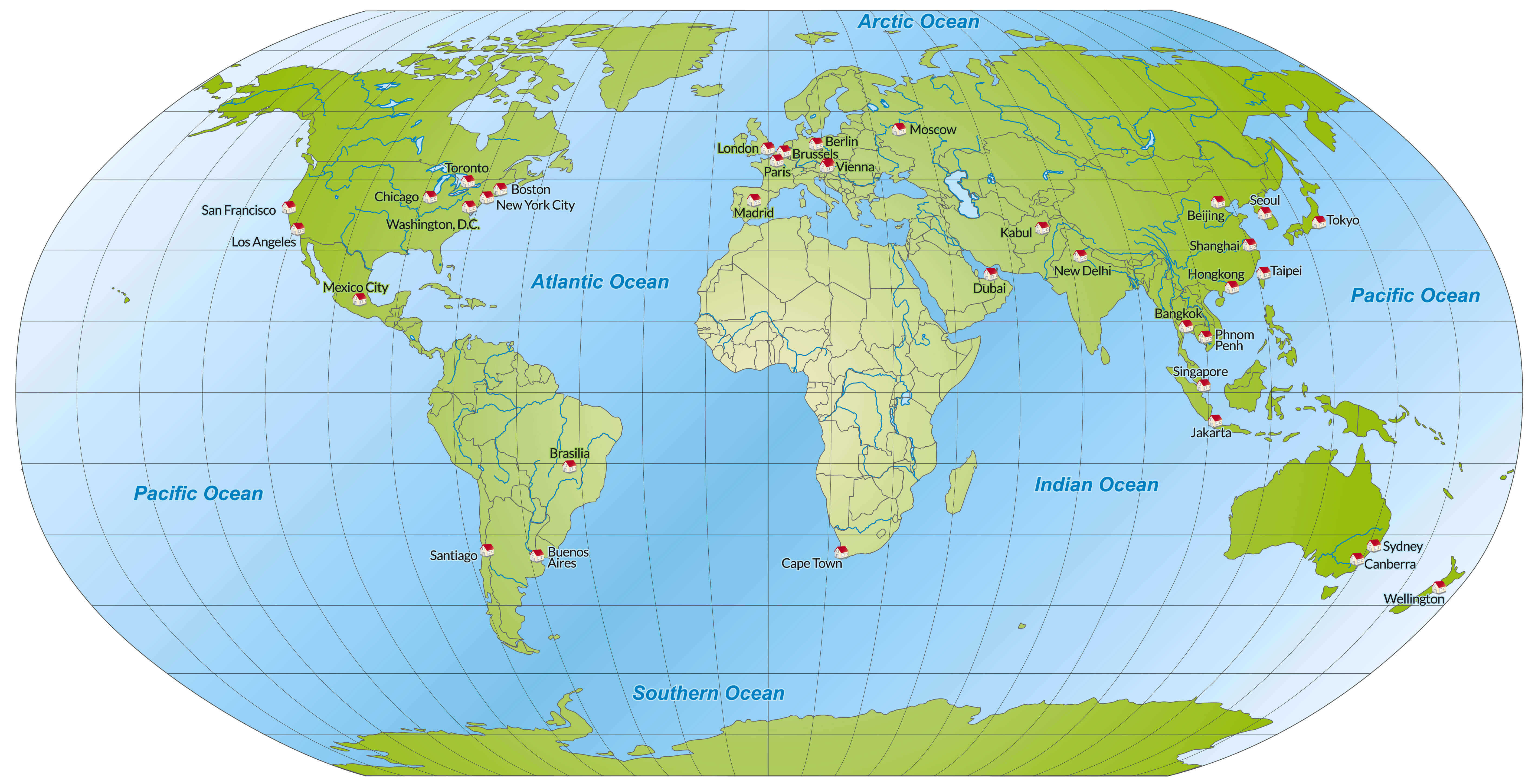
World Globe Map
Feel free to explore these pages as well:
- World Regions Maps
- World Historical Maps
- World Geological Maps
- World Blank Maps
- Discover Satellite World Maps
- World Countries Languages Map
- Discover Thematic World Maps
- Discover Unique World Maps
- Browse the Best World Maps
- Discover Detailed World Maps
- Complete World Map Guide
- World Maps Collection
- Explore Detailed World Maps
- Explore World Maps
Copyright Turkey Travel Guide - 2005 - 2026. All rights reserved. Privacy Policy | Disclaimer