World Historical Maps: Ancient History, Political, Physical and Blank World Maps Collection
Discover our comprehensive collection of World Maps, featuring a diverse range of historical, political, economic, and geographical maps created for students, travelers, researchers, and geography enthusiasts. This collection includes World Climate Maps, World Colonial Maps from 1810, World Colonization Maps (1600–1700), World Continents Blank Maps, and World Continents Political Maps, making it easier to explore climate systems, historical empires, continental layouts, and international borders. These maps provide valuable insights into the evolution of the world’s geography, politics, and global development.
World Maps
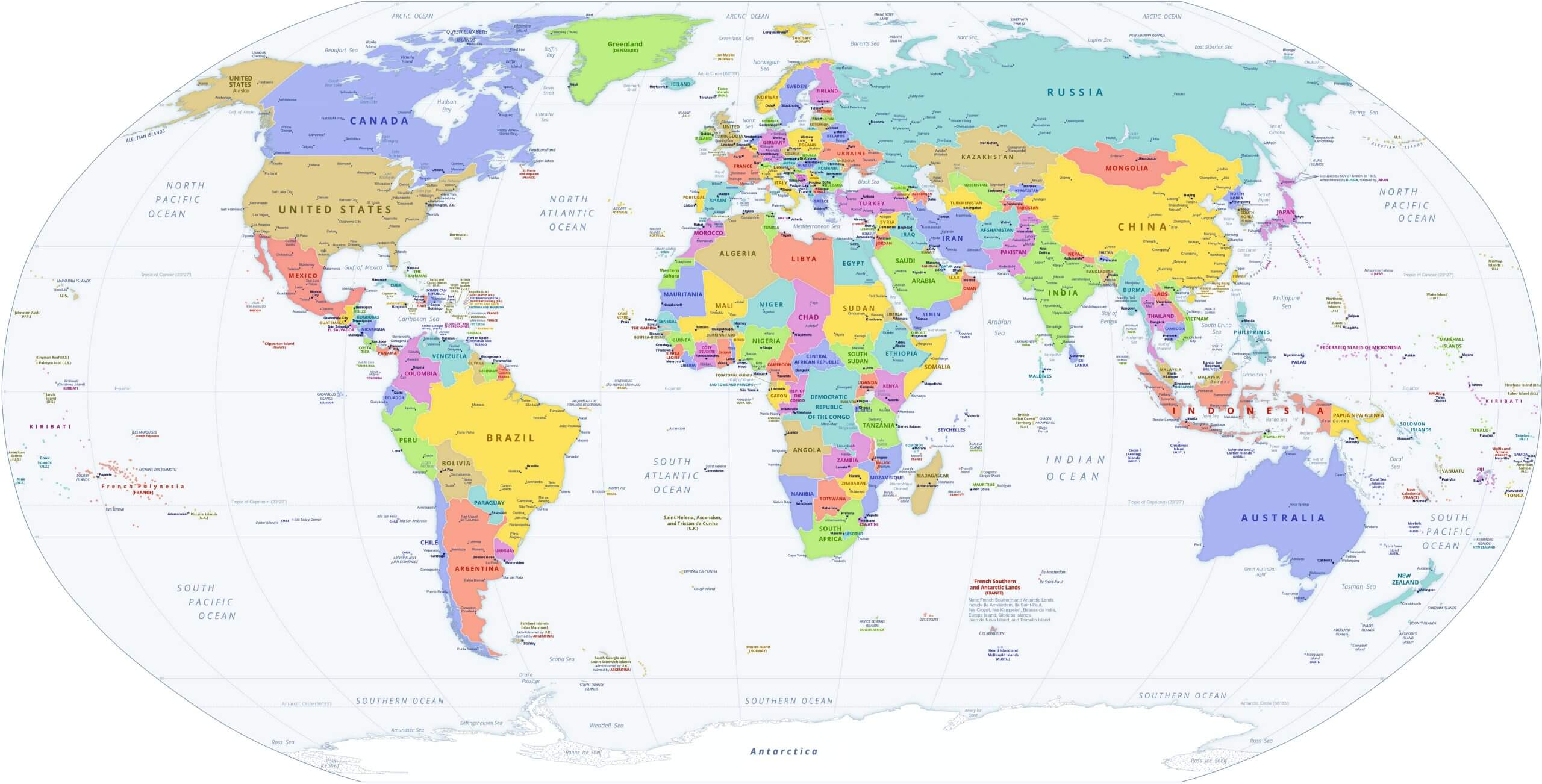
World Map With Countries
Whether you are searching for a World Countries Map for educational purposes, a World Continents Map with Countries for geographic reference, or thematic maps for historical and economic analysis, our collection offers reliable and high-quality resources. From climate visuals and colonial history maps to detailed political and continental maps, these resources serve as essential tools for learning, research, travel planning, and global exploration.
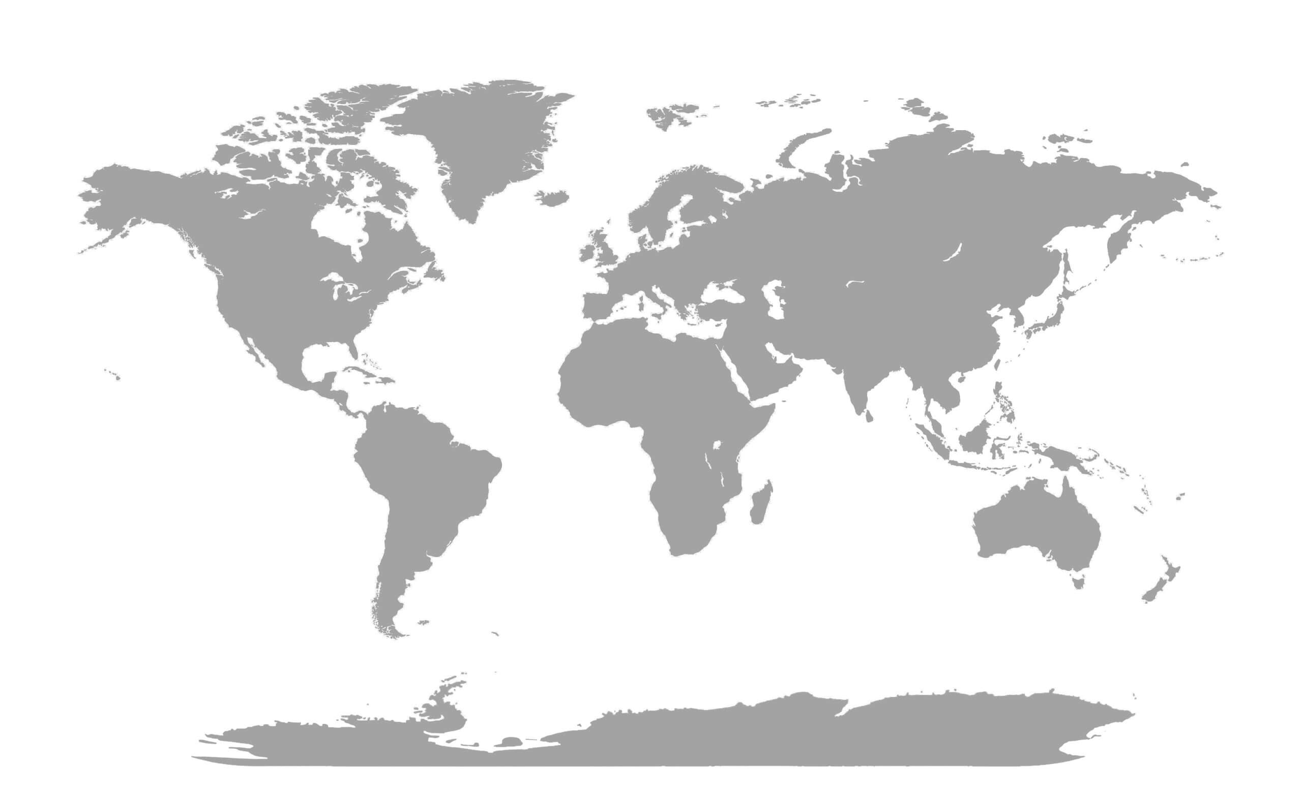
World Gray Blank Map
World Historical Map 1570
.jpg)
World Map Countries
Discover specialized world maps such as the World Countries GDP Per Capita Map 2023, World Domain Extensions Map, World Earth Satellite Map, World Flag Map, and World Geological Map, offering valuable insights into global economies, digital regions, satellite imagery, national identities, and geological formations. From historical colonization routes to modern political and economic analysis, this map collection serves as a comprehensive source for learning, research, travel planning, and exploring the world from different perspectives.
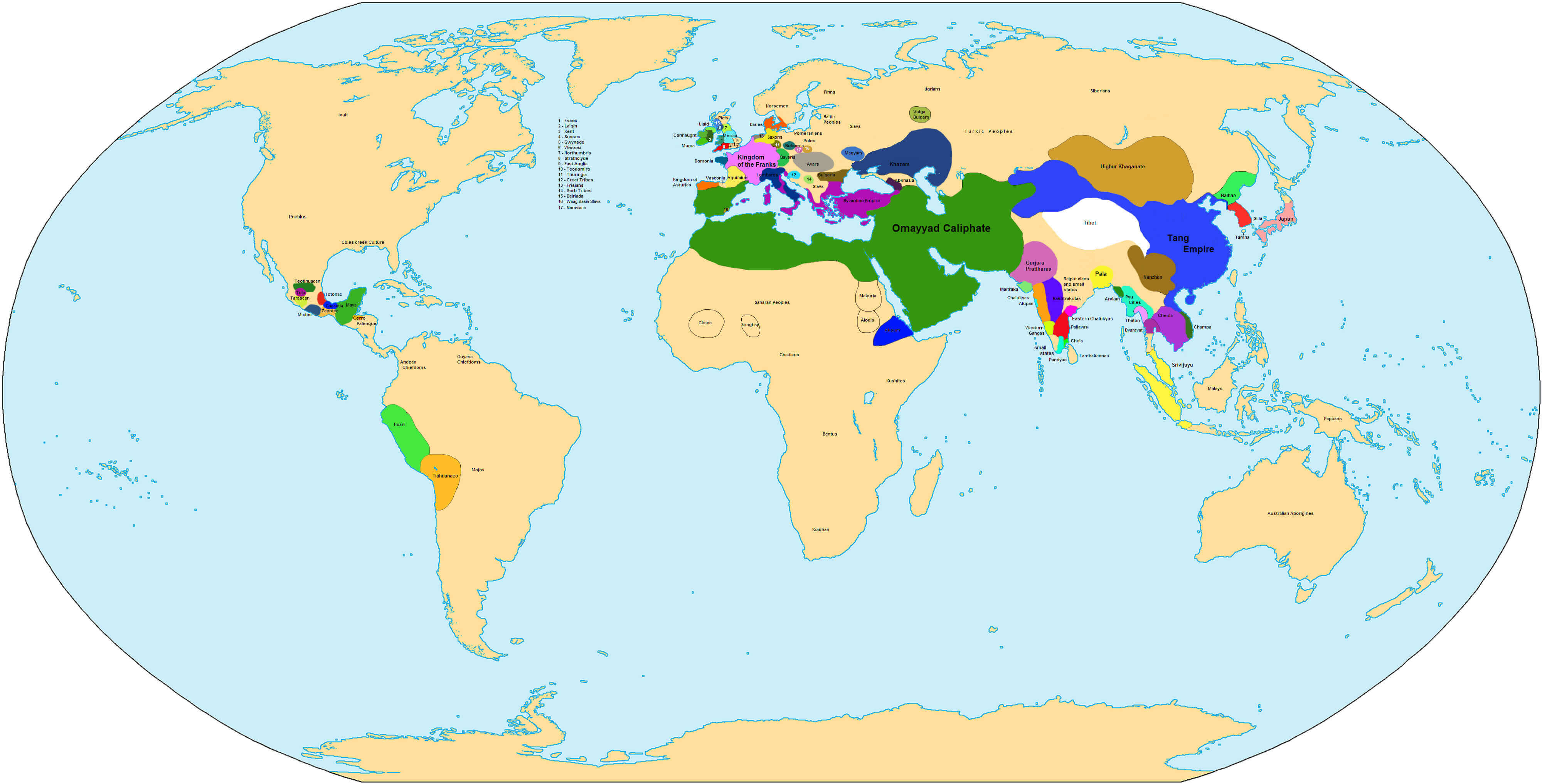
World Historical Map In 750
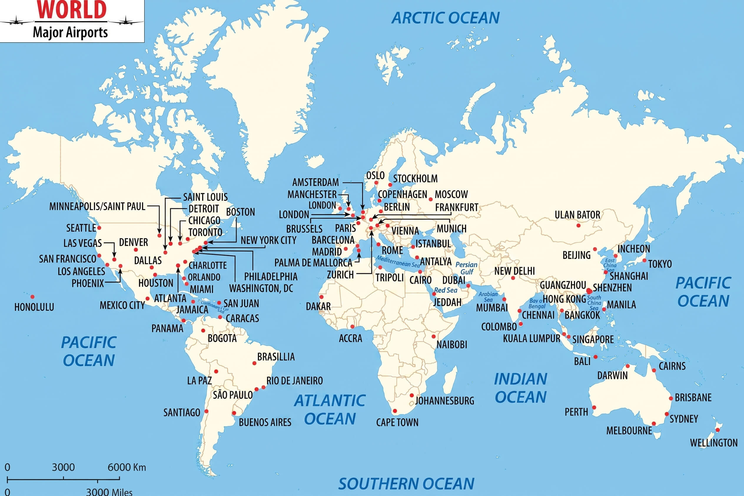
World Major Airports Map
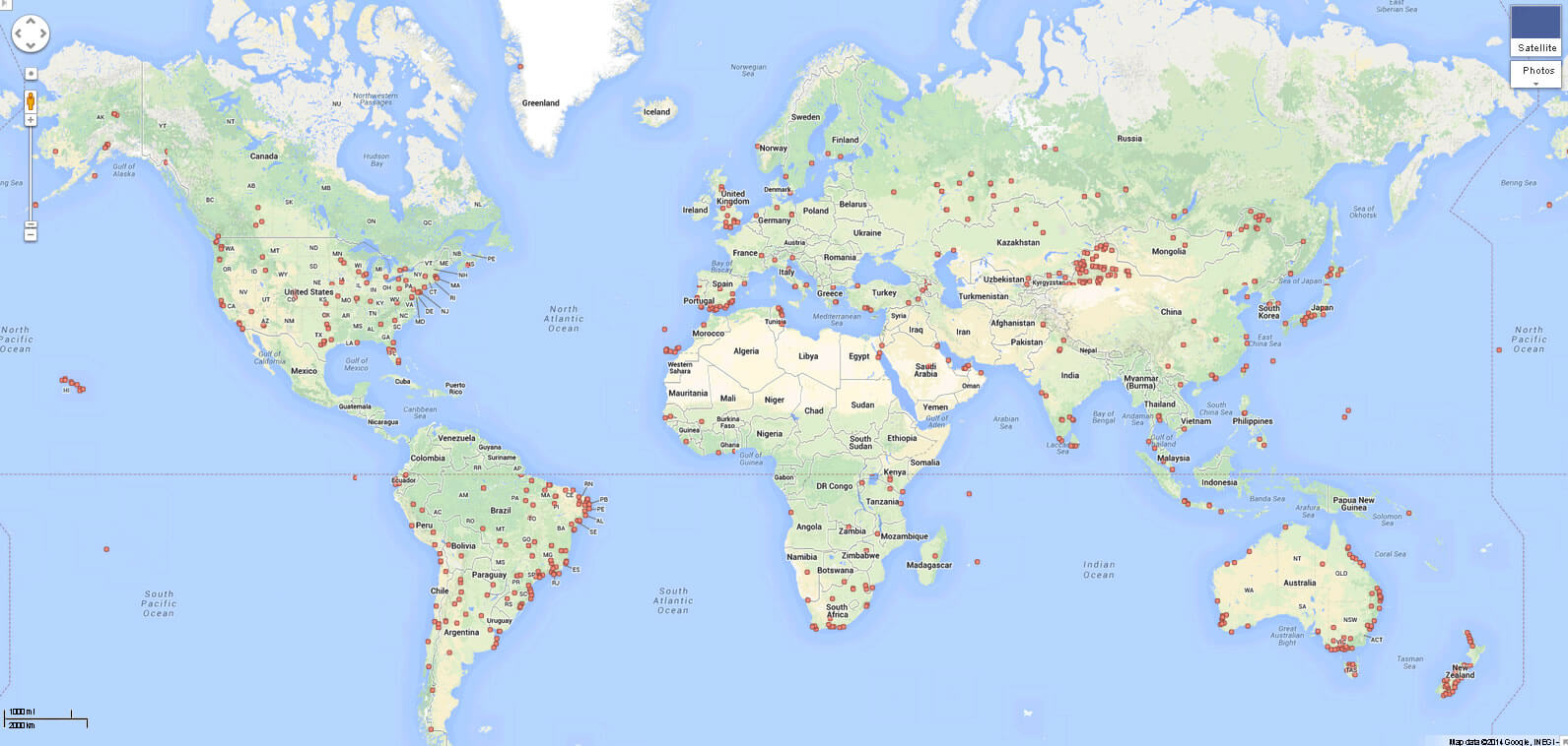
World Map Collection
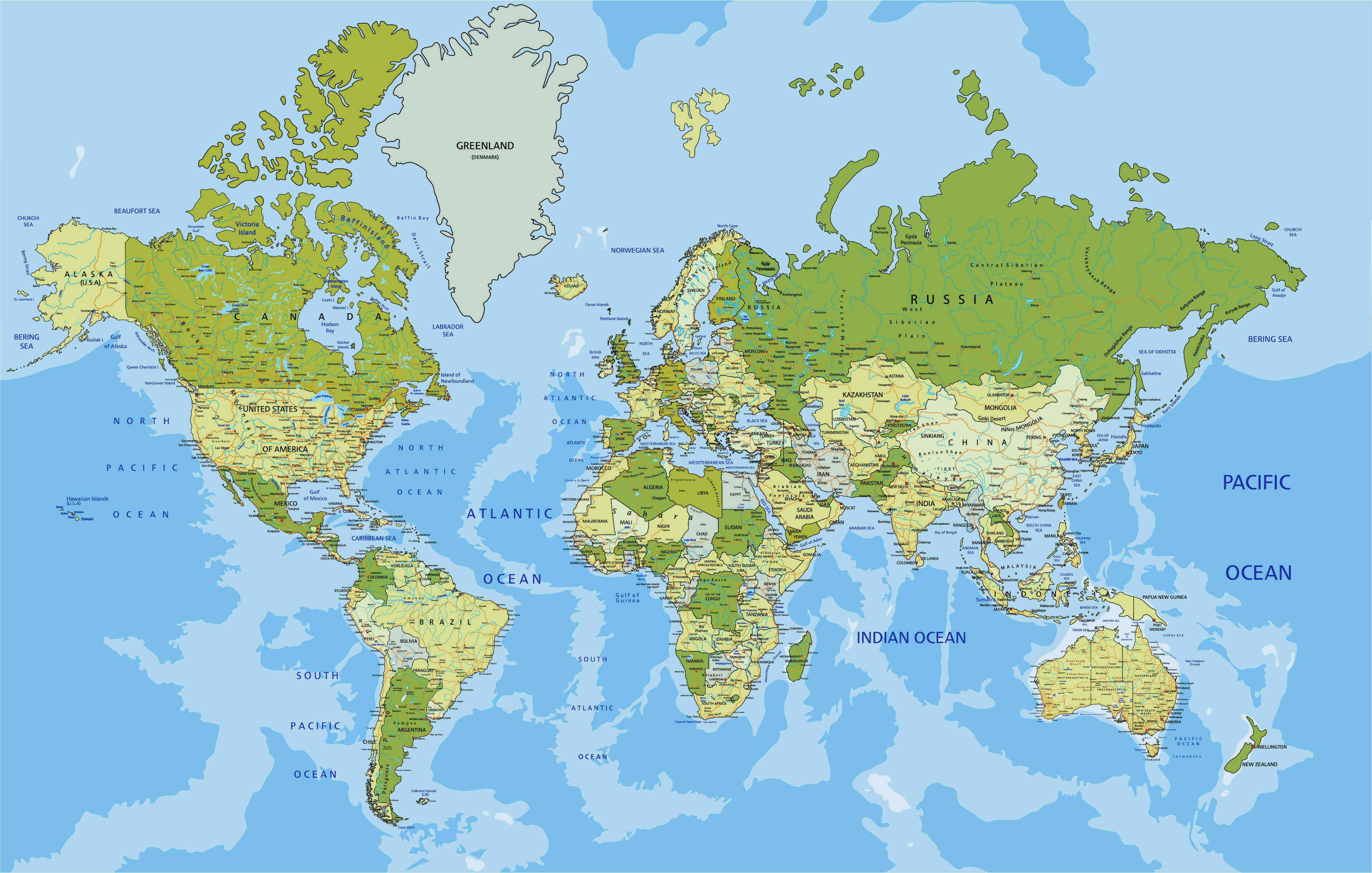
World Map
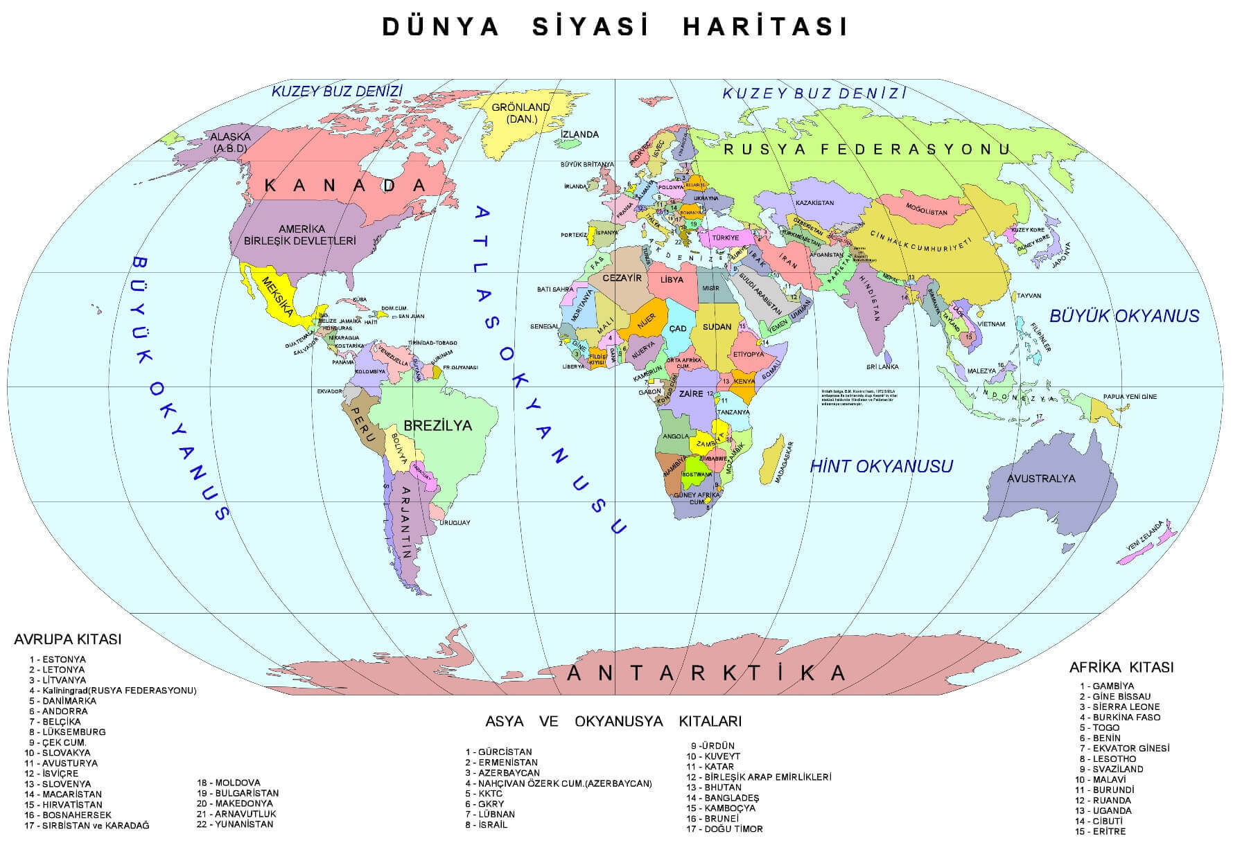
World Political Map Turkish

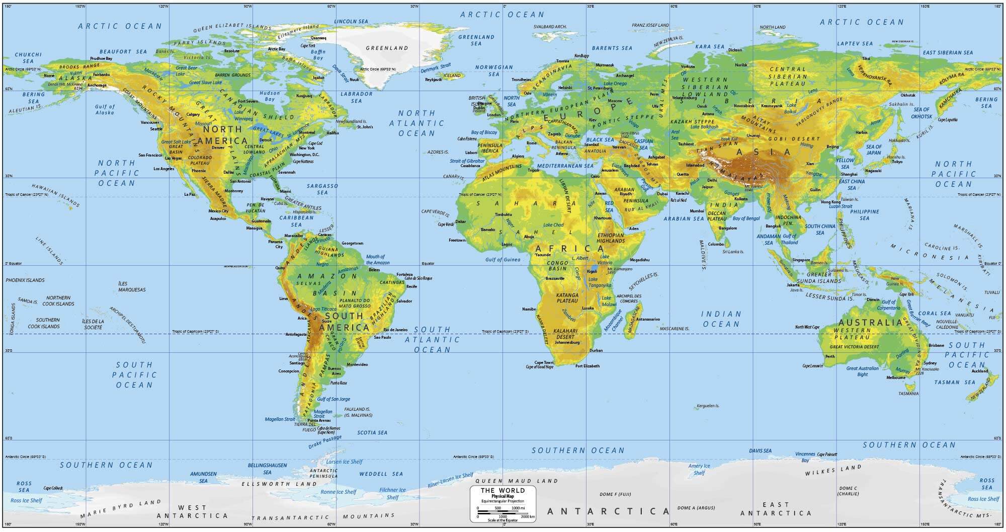
World Physical Map
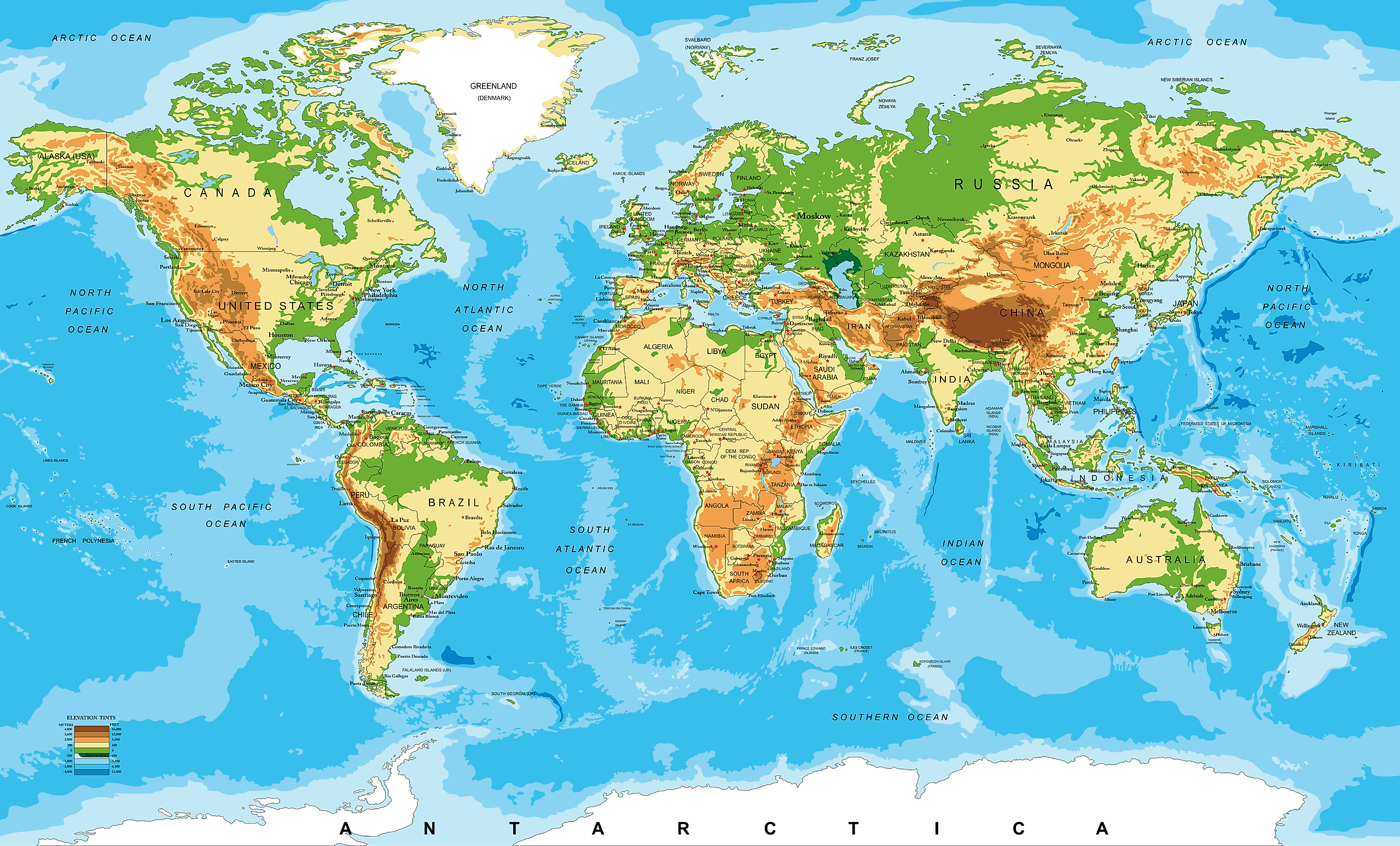
World Physical Terrain Map
World Political Map in English
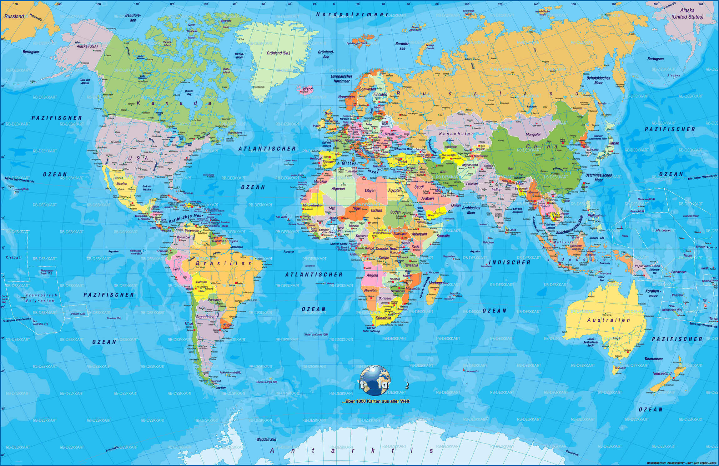
World Political Map In German
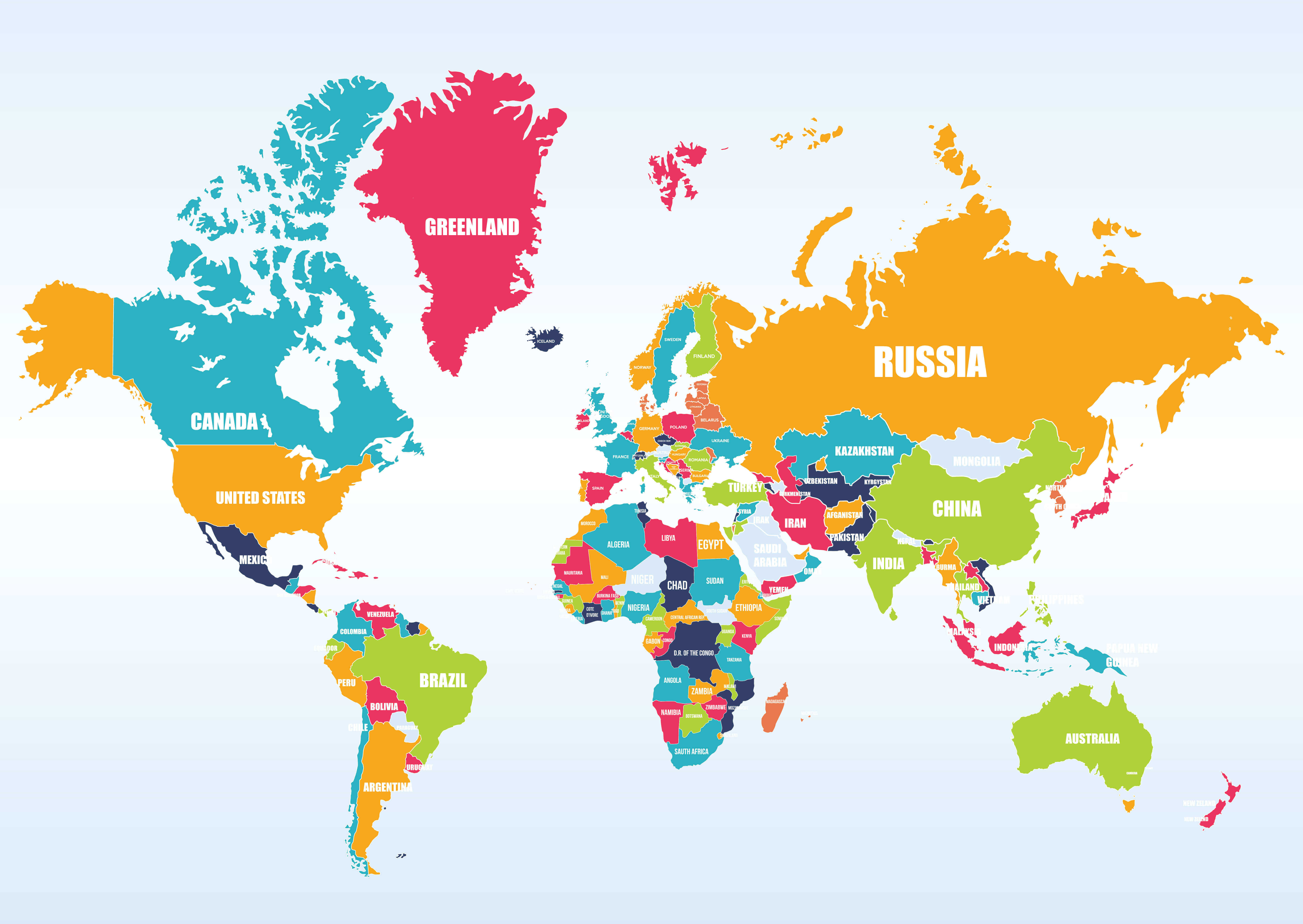
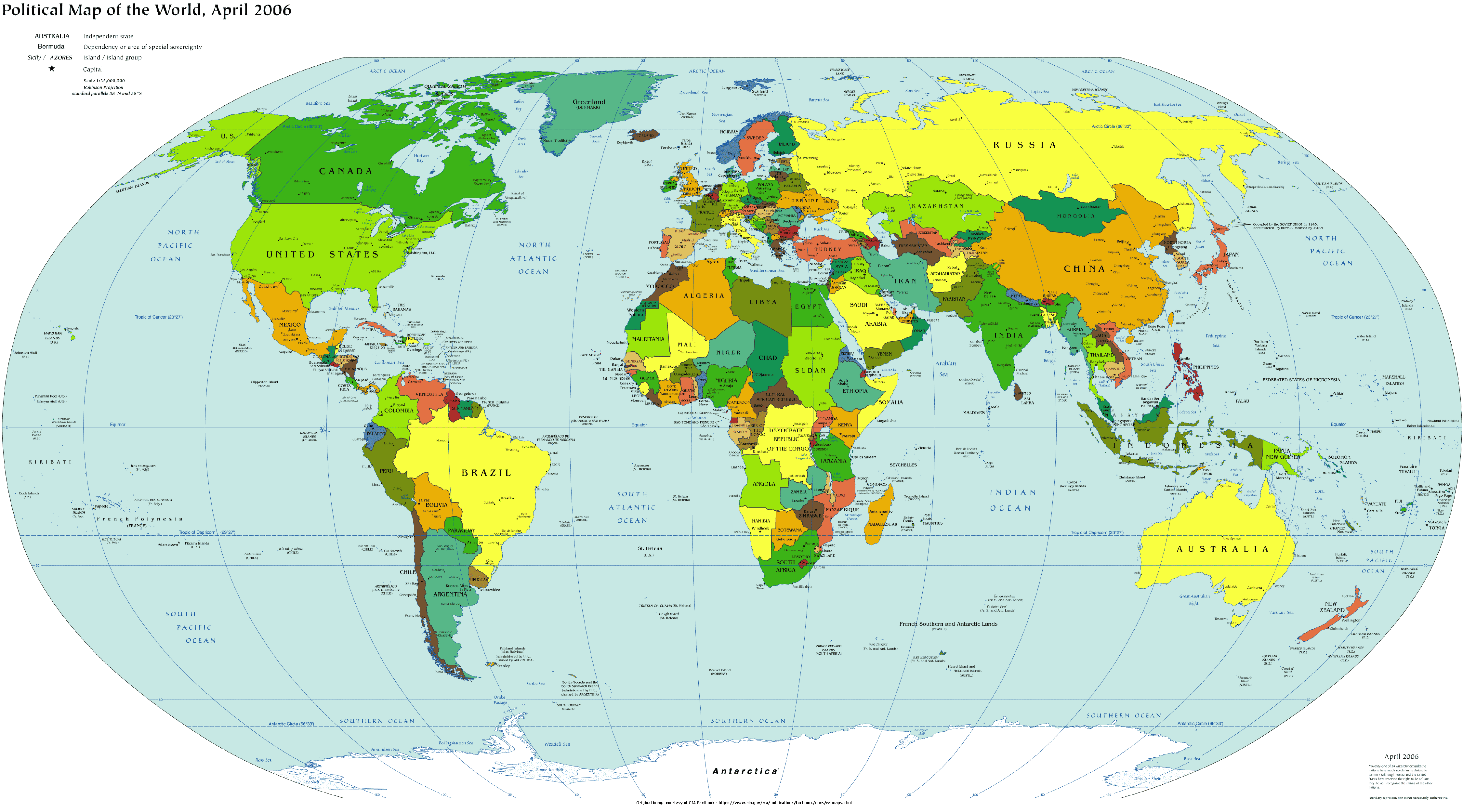
World Political Map
Feel free to explore these pages as well:
- World Regions Maps
- World Historical Maps
- World Geological Maps
- World Blank Maps
- Discover Satellite World Maps
- World Countries Languages Map
- Discover Thematic World Maps
- Discover Unique World Maps
- Browse the Best World Maps
- Discover Detailed World Maps
- Complete World Map Guide
- World Maps Collection
- Explore Detailed World Maps
- Explore World Maps
Copyright Turkey Travel Guide - 2005 - 2026. All rights reserved. Privacy Policy | Disclaimer