- world map
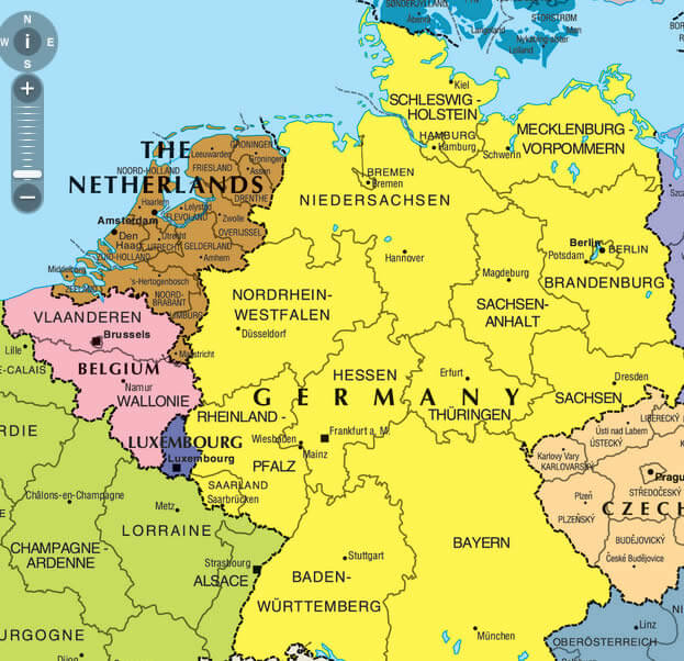
- europe map
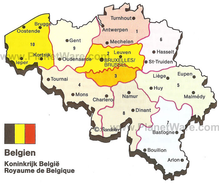
- belgium map
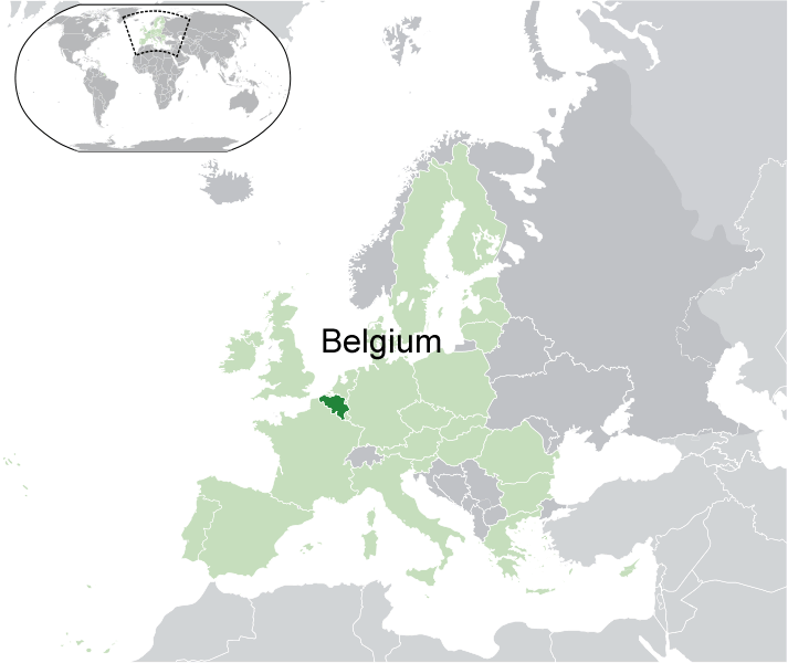
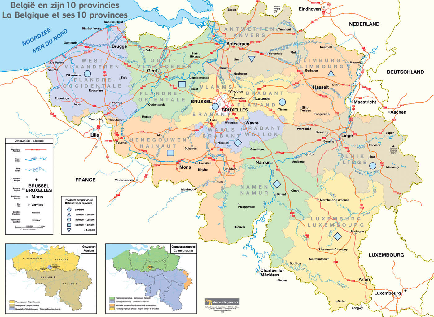
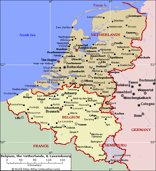
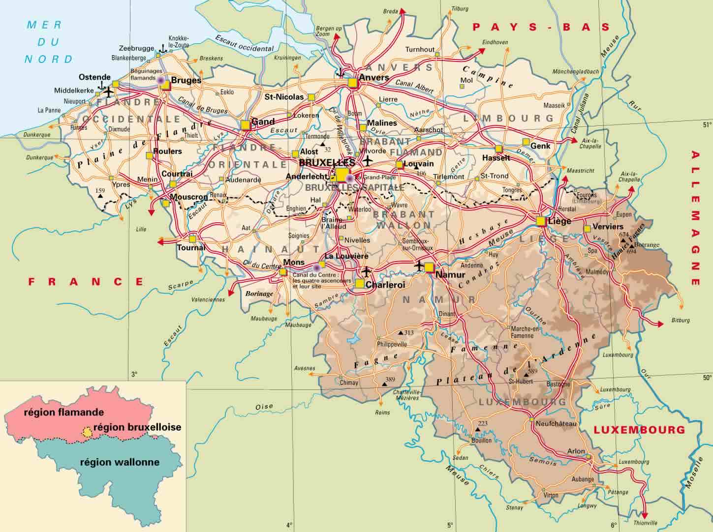
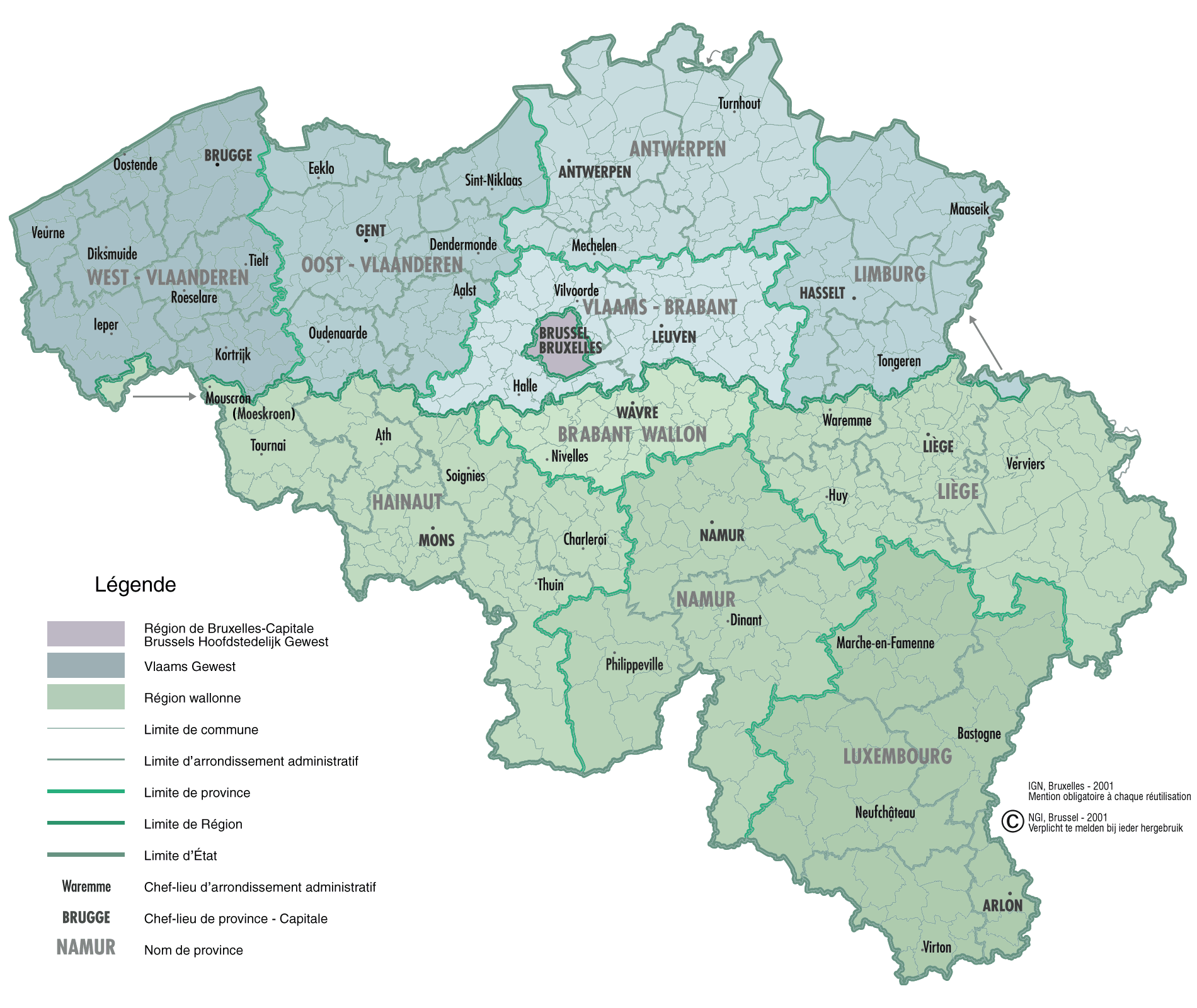
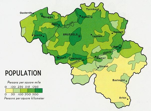
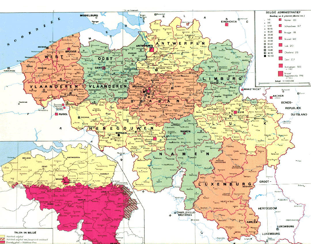
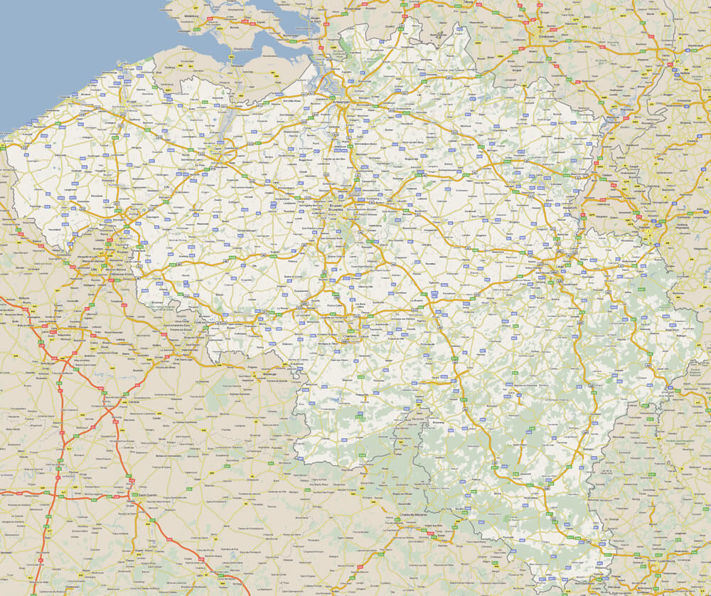
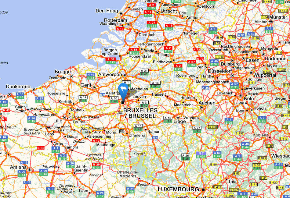
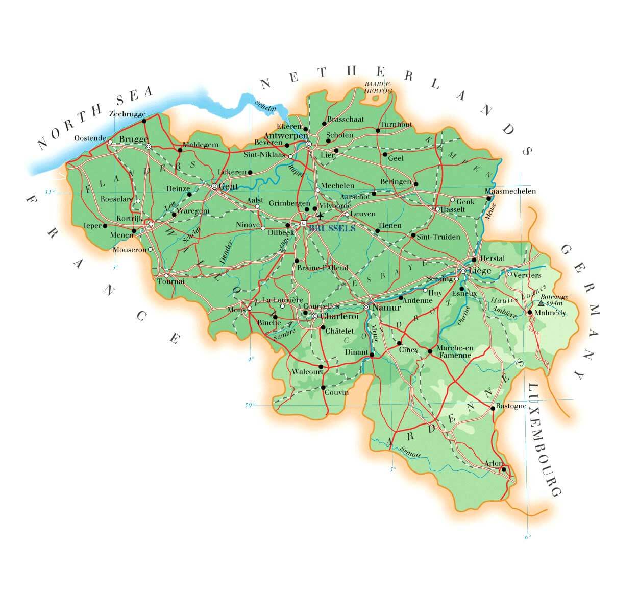
Map of Belgium
Navigate map of Belgium, Belgium country maps, satellite images of the Belgium, Belgium largest city maps, political, physical map of Belgium, driving directions and traffic maps.

Find desired maps by entering country, city, town, region or village names regarding under search criteria. On upper left Map of Belgium (+) beside zoom in and (-) sign to to zoom out via the links you can visit. Belgium Map move the mouse over it via (left click) and clicking the image you can drag. Right upper Map, Satellite, Terrain icons via the map view, satellite, hybrid and terrain map can be switch between images.
World Continents Map
North America Map Europe Map Asia Map South America Map Oceania Map Antarctica MapBelgium Google Map, Street Views, Maps Directions, Satellite Images

A collection Map of Belgium

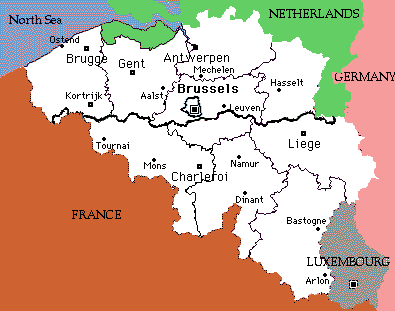

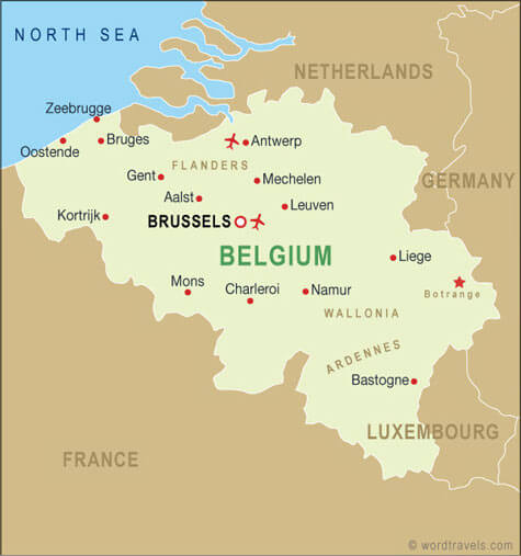

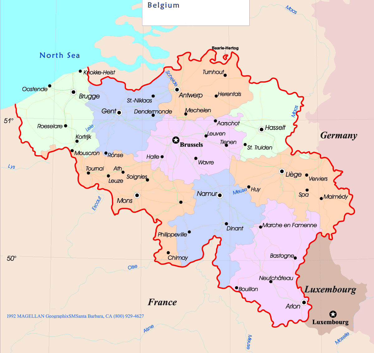
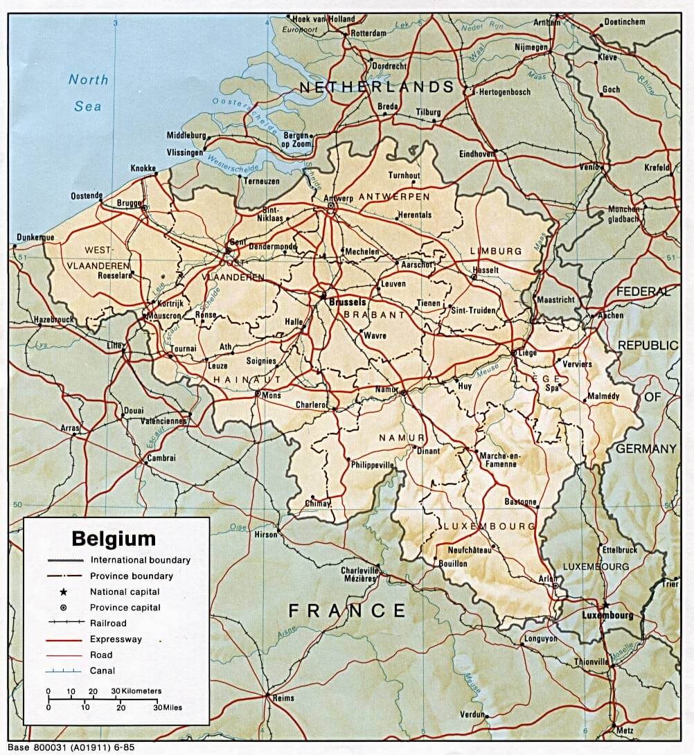
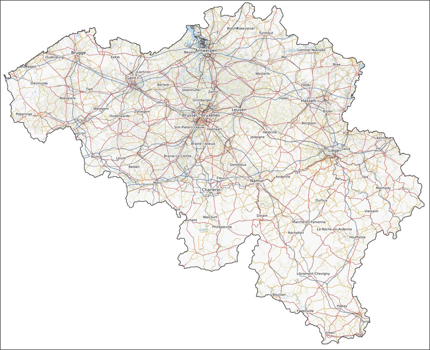
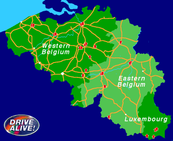

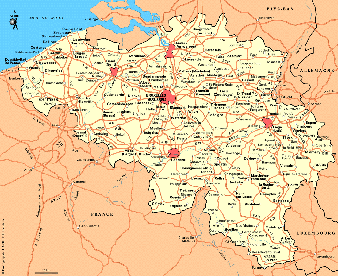
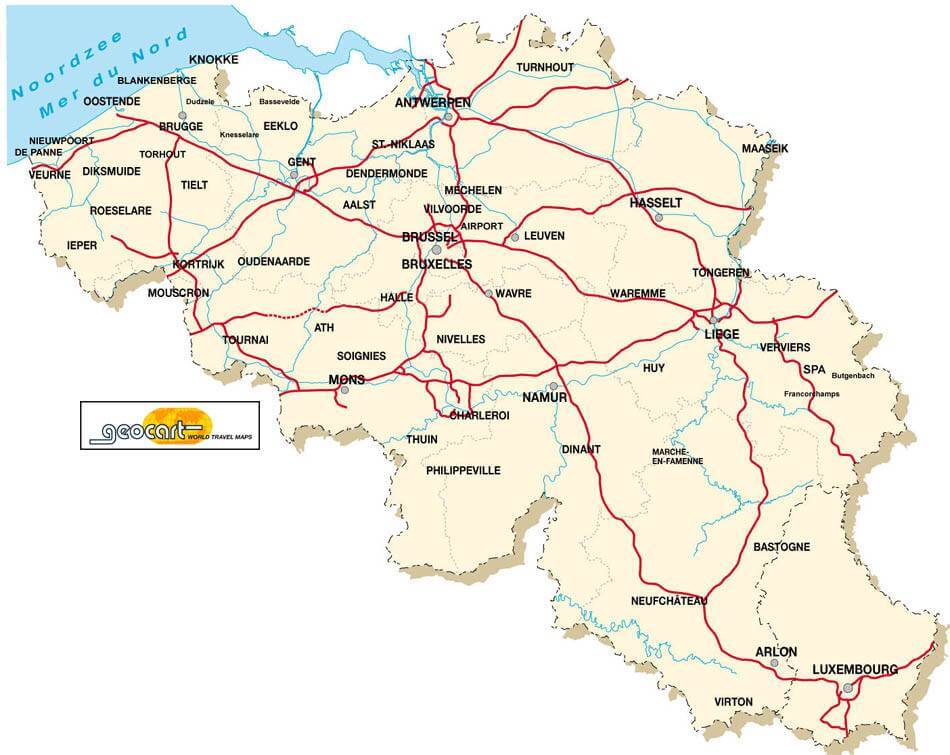
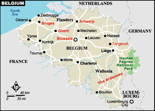
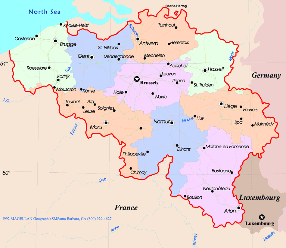
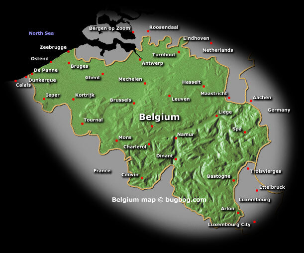
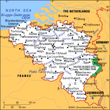


Largest Cities Map of Belgium
Antwerpen Map - Gent Map - Charleroi Map - Brugge Map - Bruxelles Map - Liege Map - Schaerbeek Map - Namur Map - Anderlecht Map - Leuven Map - Mons Map - Halle Map - Aalst Map - Roubaix Map - Tournai Map - Ath Map - Huy Map - Mechelen Map - Oostende Map - Verviers Map - Turnhout Map - Kortrijk Map -Belgium Google Map, Street Views, Maps Directions, Satellite Images
Submit URL to Belgium :
Copyright Turkey Travel Guide - 2005 - 2026. All rights reserved. Privacy Policy | Disclaimer