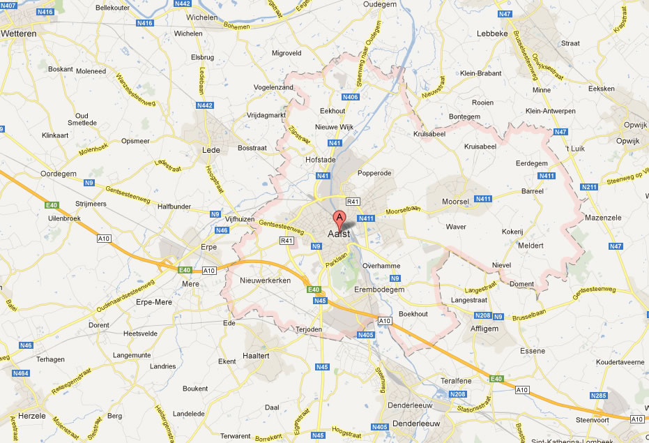
Aalst Map
Navigate Aalst Map, Aalst city map, satellite images of Aalst, Aalst towns map, political map of Aalst, driving directions and traffic maps.
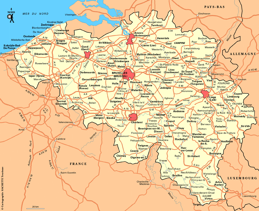
For more >> Belgium Maps
For more info >> Belgium
Aalst Map - Political, Physical, Touristic City Maps and Satellite Images
MAP OF AALST
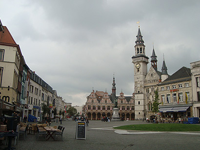
A Collection of Aalst and Satellite Images
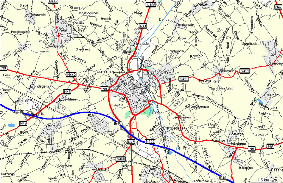
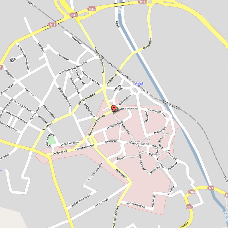
Map Of Aalst
Aalst Belgium
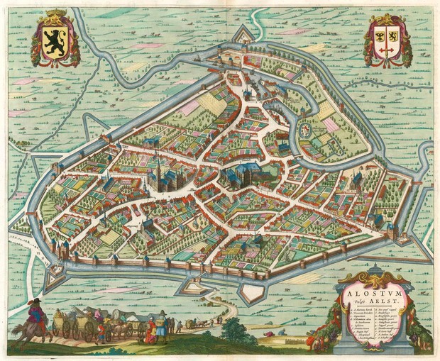
Aalst Historical Map
Aalst Map
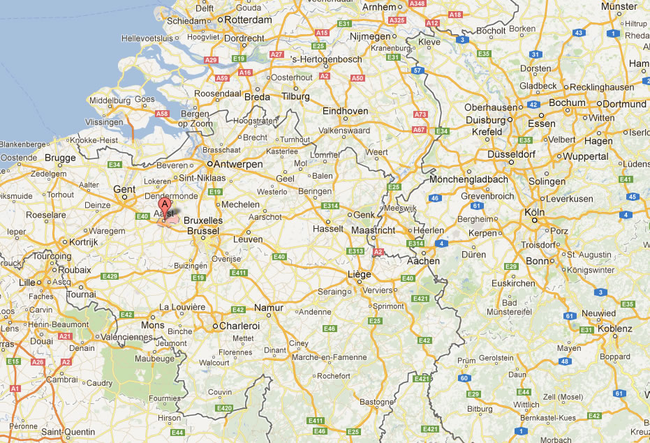
Aalst Area Map
Aalst Map
Map Of Aalst Belgium
Antwerp: Where Timeless Elegance Meets Modern Vibrancy
Please subscribe on "World Guide" channnel on Youtube at youtube.com/c/WorldGuide
See Also
Aalst Google Map, Street Views, Maps Directions, Satellite Images
turkey-visit.com offers a collection of Aalst map, google map, Aalst atlas, political, physical, satellite view, country infos, cities map and more map of Aalst.
Copyright Turkey Travel Guide - 2005 - 2026. All rights reserved. Privacy Policy | Disclaimer