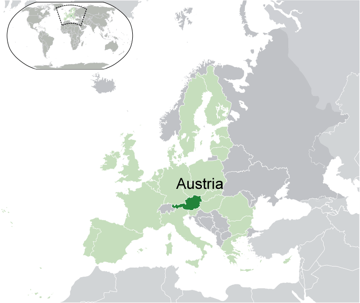
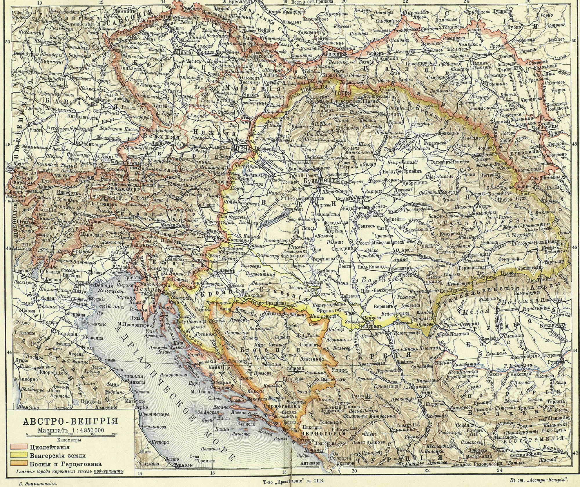
- world map
- europe map
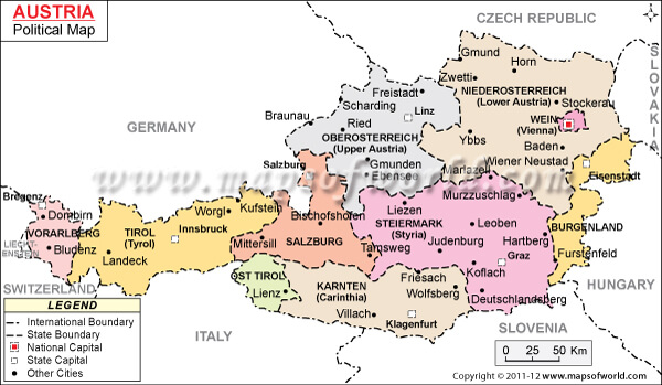
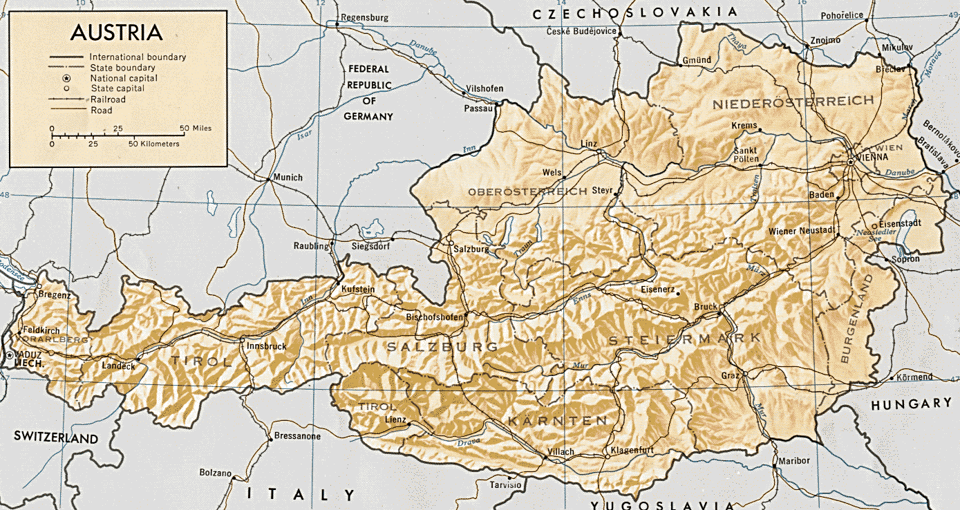
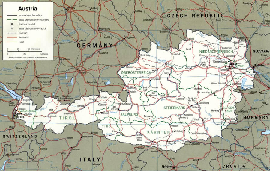
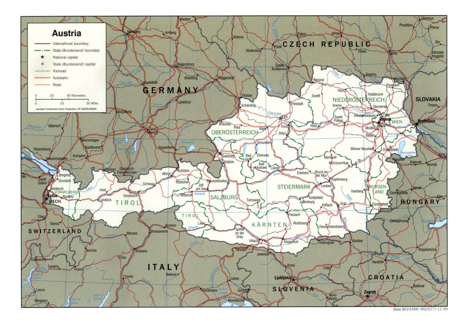
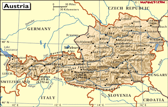
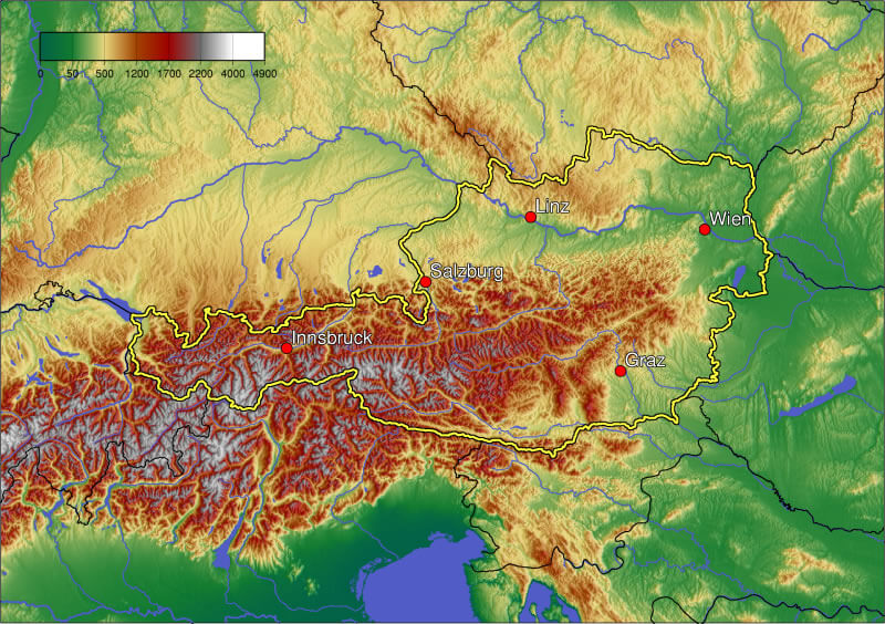
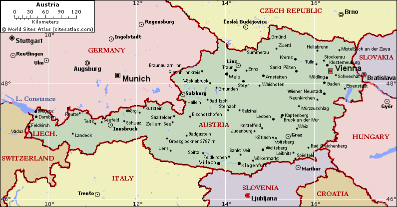
- austria map
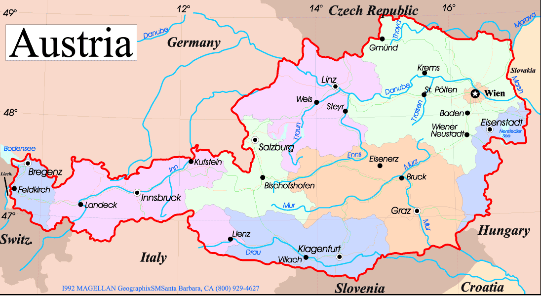
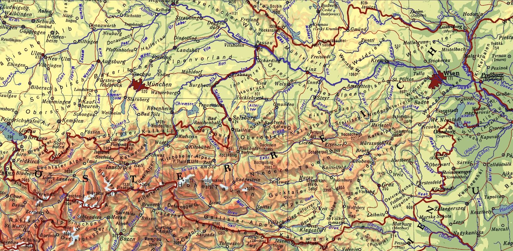
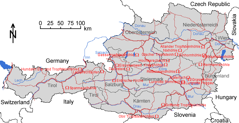
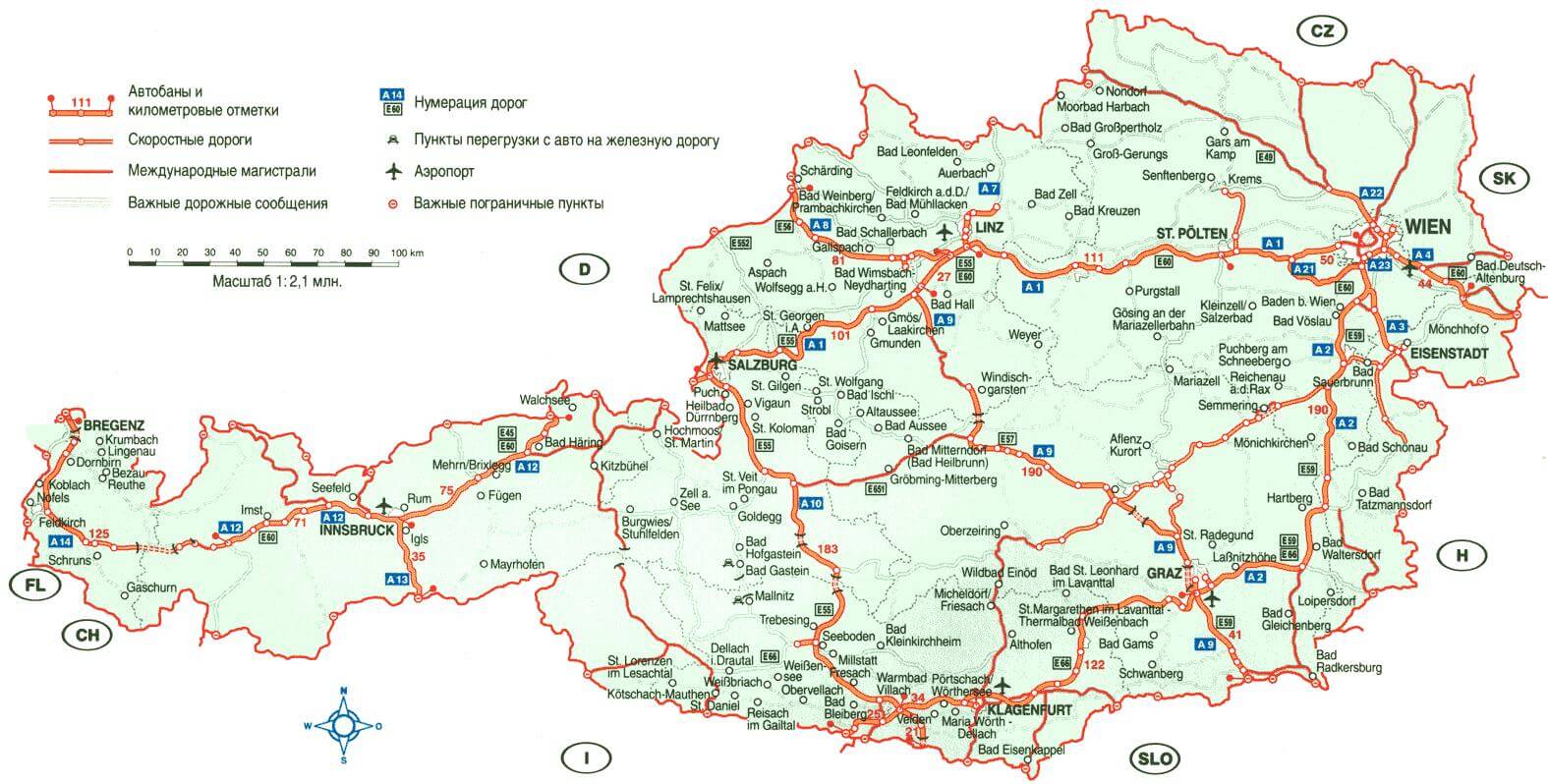
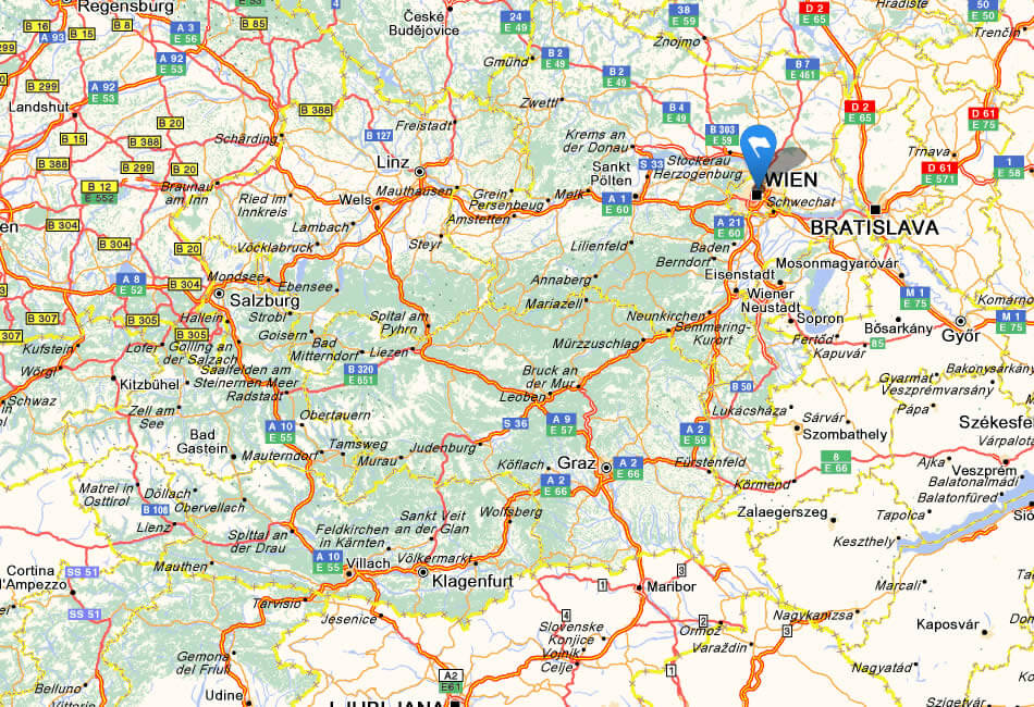
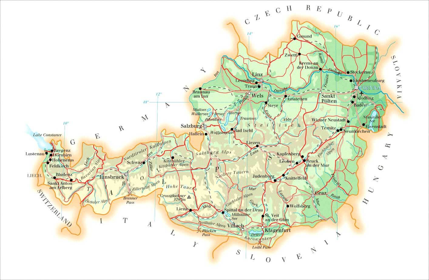
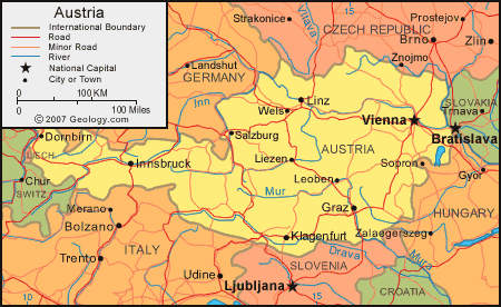
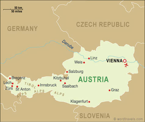
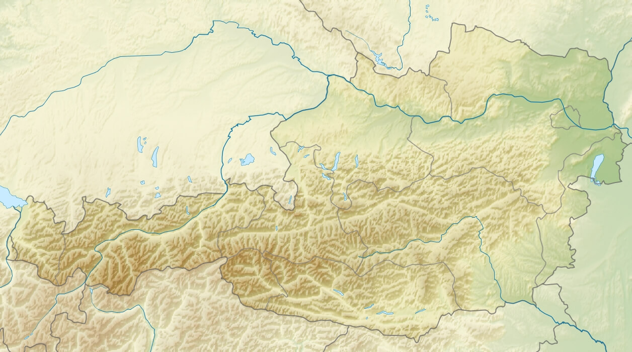
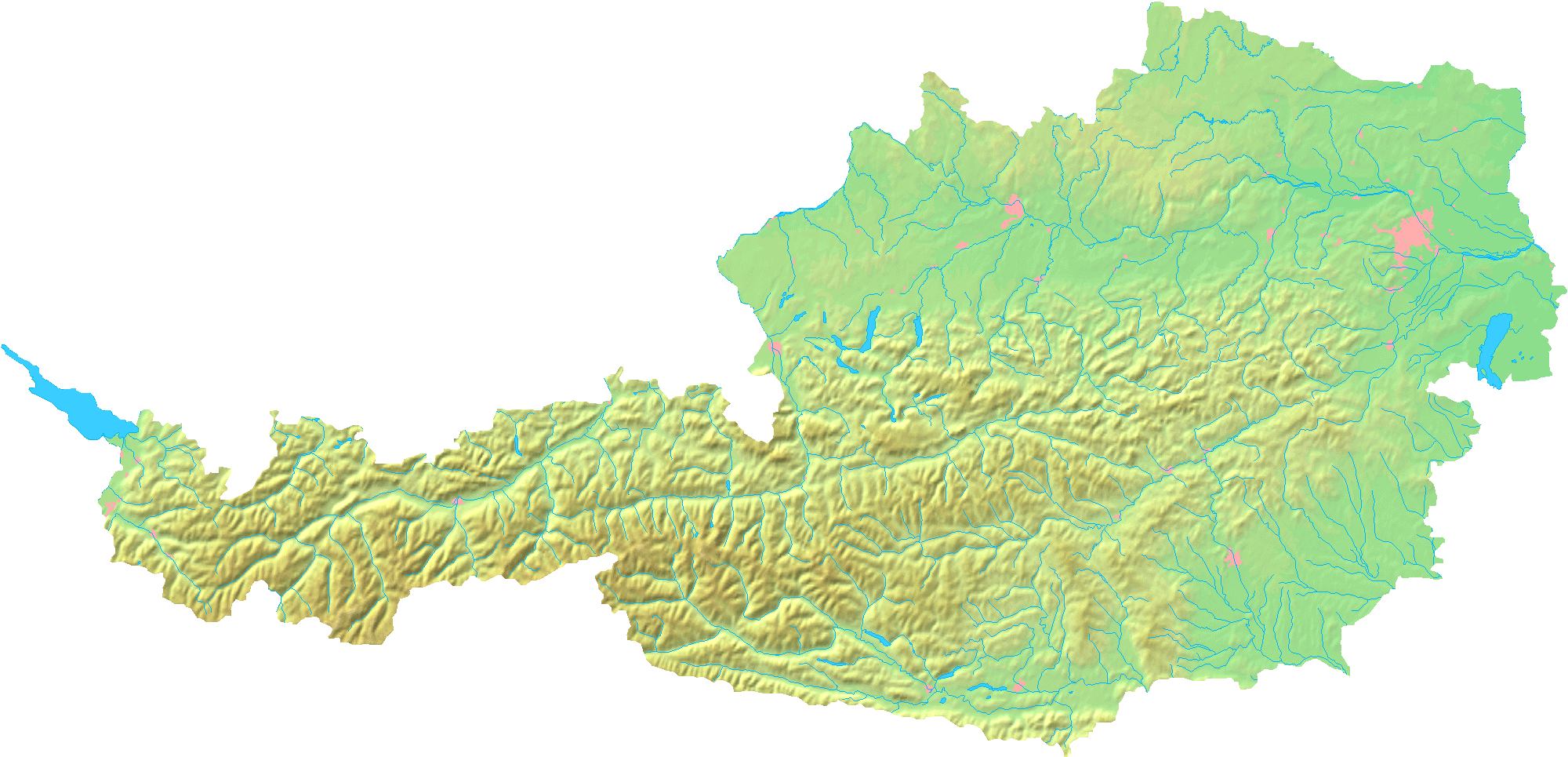
Map of Austria
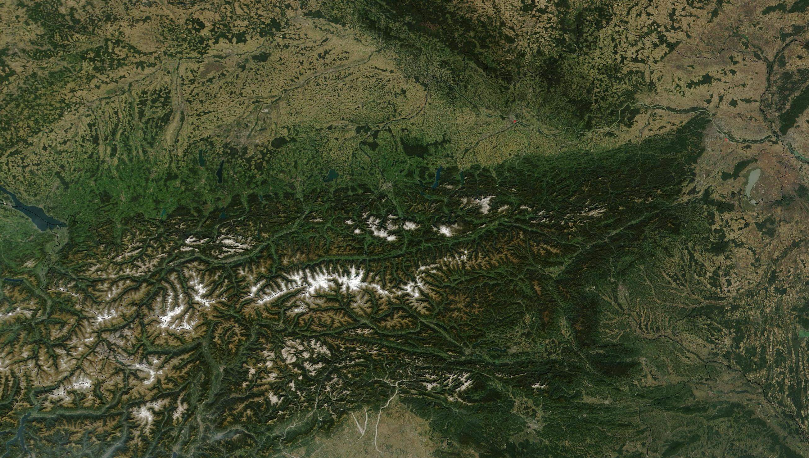
Navigate map of Austria, Austria country maps, satellite images of the Austria, Austria largest city maps, political, physical map of Austria, driving directions and traffic maps.

- Capital : Vienna
- Population : 8,414,638
- GDP : $391.469 billion
- Per Capita : $46,330
- Calling Code : +43
- Jobless Rate : 9.10%
- Time Zone : +1
Find desired maps by entering country, city, town, region or village names regarding under search criteria. On upper left Map of Austria (+) beside zoom in and (-) sign to to zoom out via the links you can visit. Austria Map move the mouse over it via (left click) and clicking the image you can drag. Right upper Map, Satellite, Terrain icons via the map view, satellite, hybrid and terrain map can be switch between images.
World Continents Map
North America Map Europe Map Asia Map South America Map Oceania Map Antarctica MapAustria Google Map, Street Views, Maps Directions, Satellite Images
A collection Map of Austria
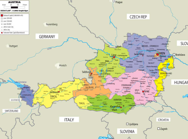


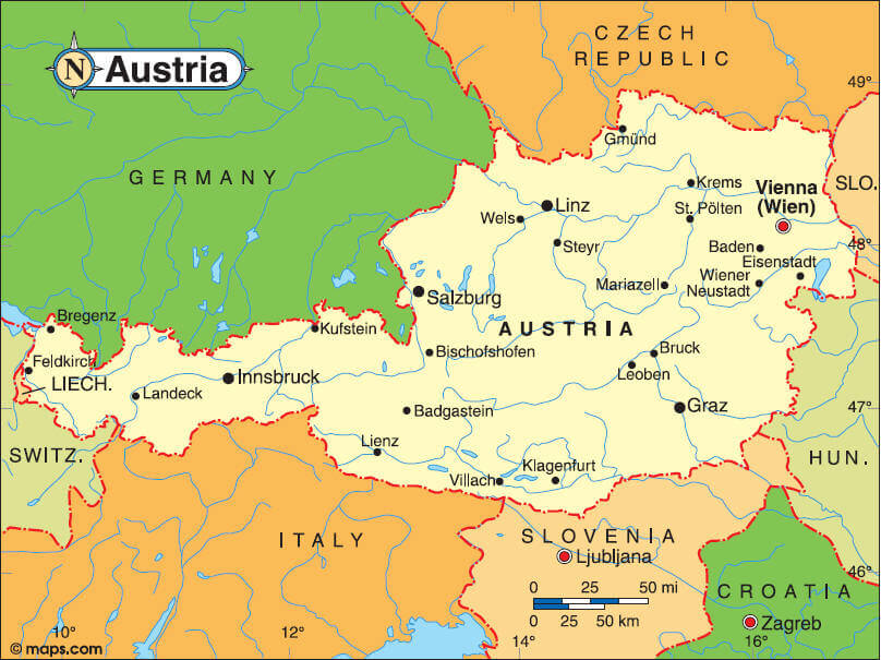

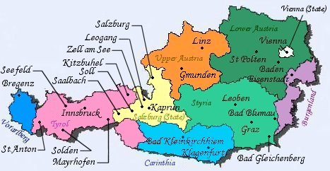


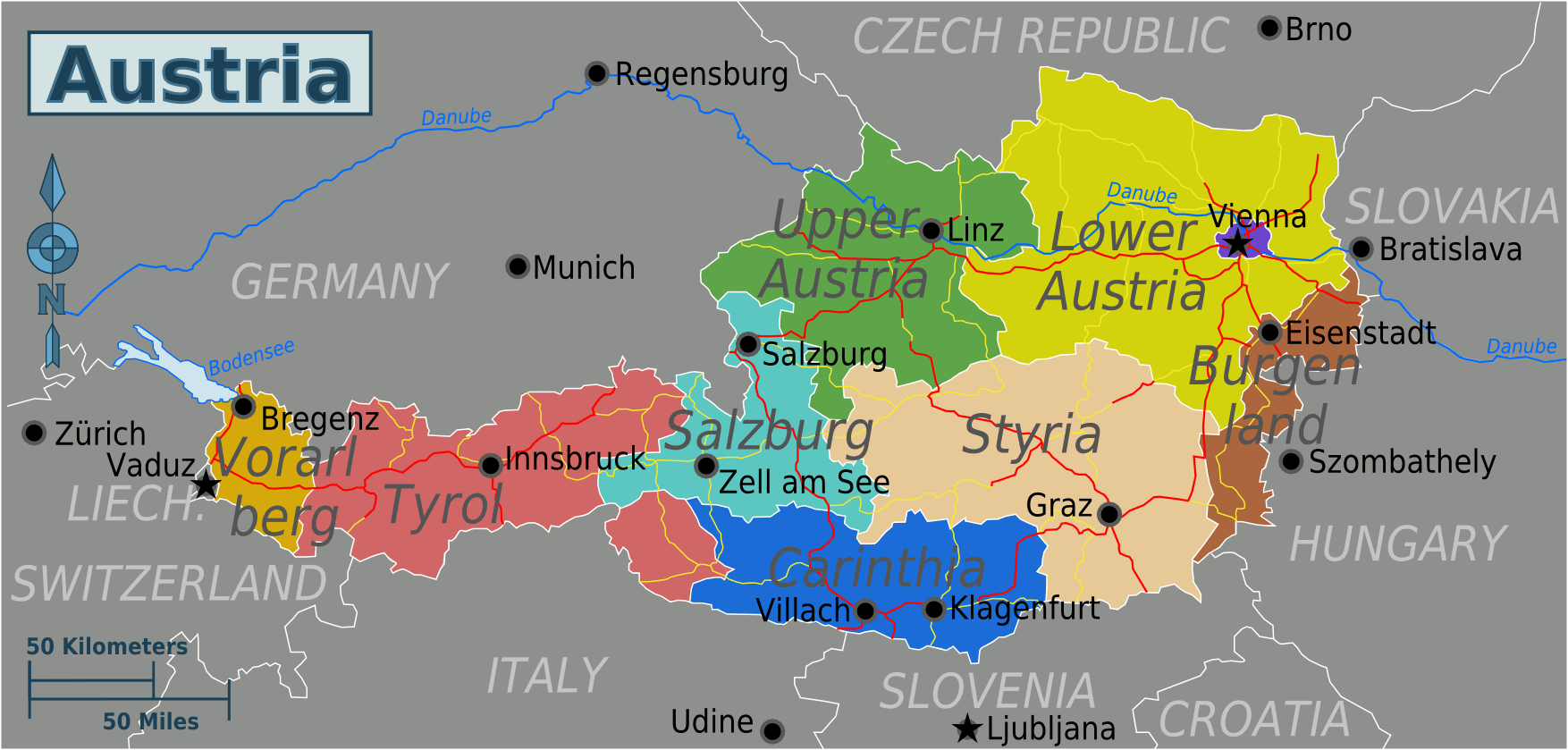
Largest Cities Map of Austria
Vienna Map - Graz Map - Linz Map - Salzburg Map - Innsbruck Map - Klagenfurt Map - Wels Map - Villach Map -Austria Google Map, Street Views, Maps Directions, Satellite Images
Submit URL to Austria :
Copyright Turkey Travel Guide - 2005 - 2026. All rights reserved. Privacy Policy | Disclaimer