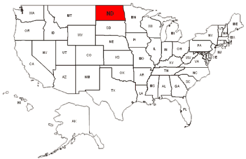
North Dakota Satellite Images
At North Dakota Satellite Images page, view political map of North Dakota, physical maps, USA states map, satellite images photos and where is United States location in World map.
For North Dakota Satellite Images Map, Direction, Location and Where Addresse
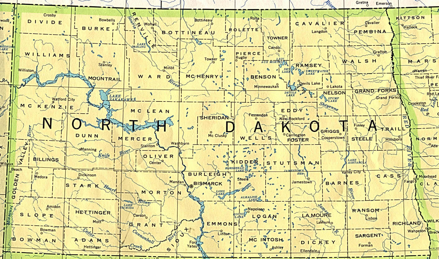
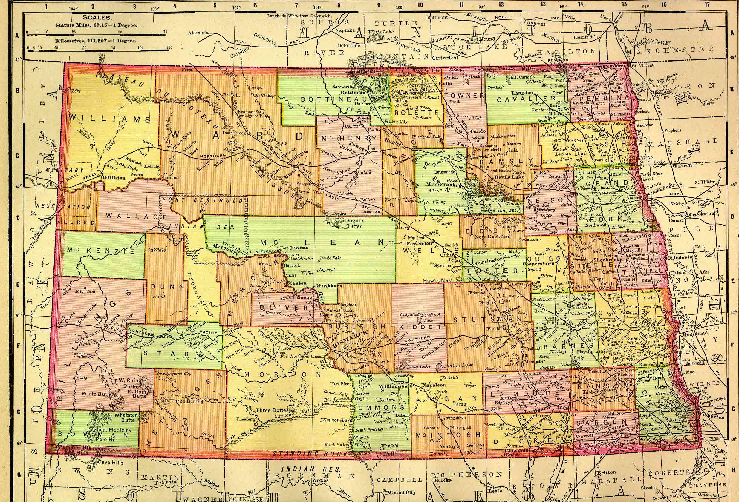
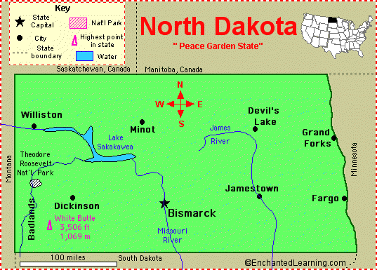
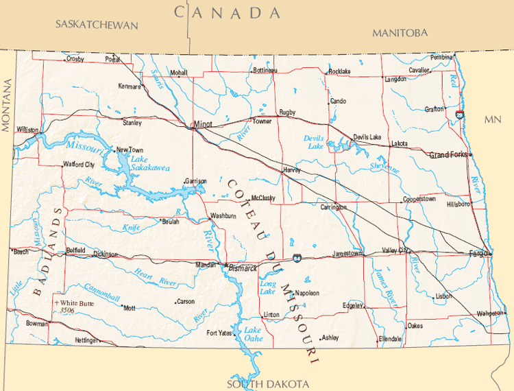
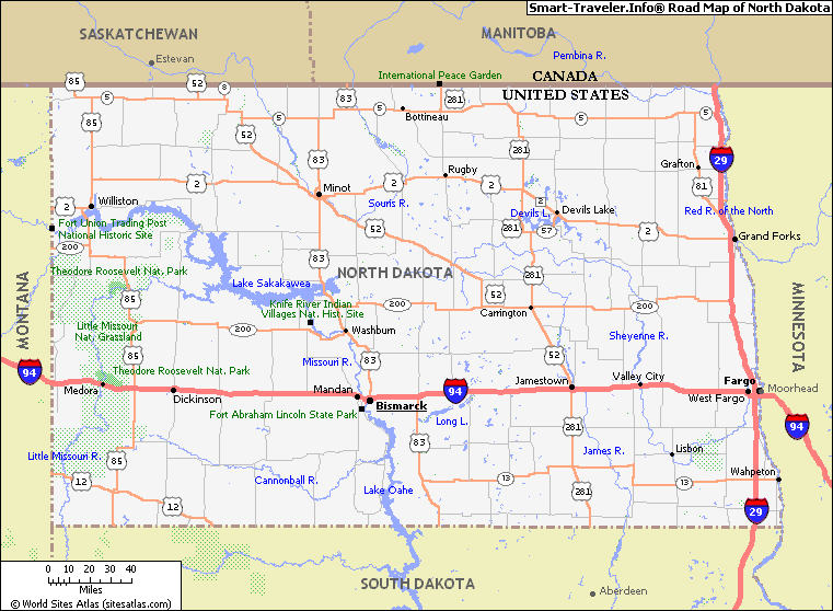
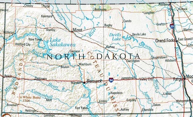
North Dakota Map
North Dakota Map Help
To zoom in and zoom out map, please drag map with mouse. To navigate map click on left, right or middle of mouse. To view detailed map move small map area on bottom of map. USA North Dakota Map Loading...
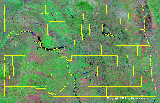
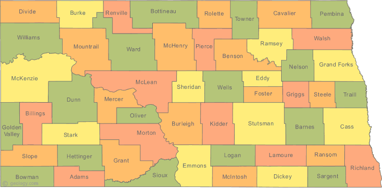
A collection Map of North Dakota
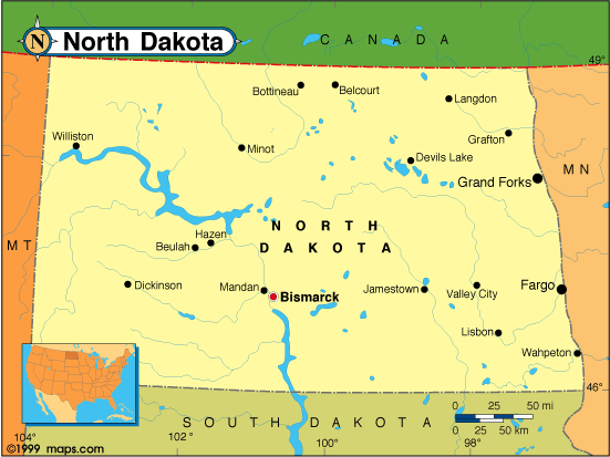
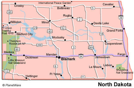
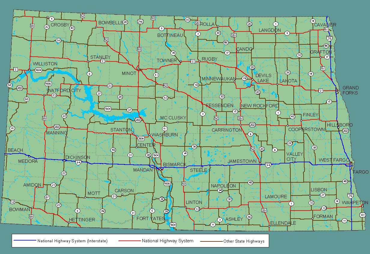
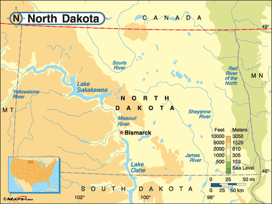


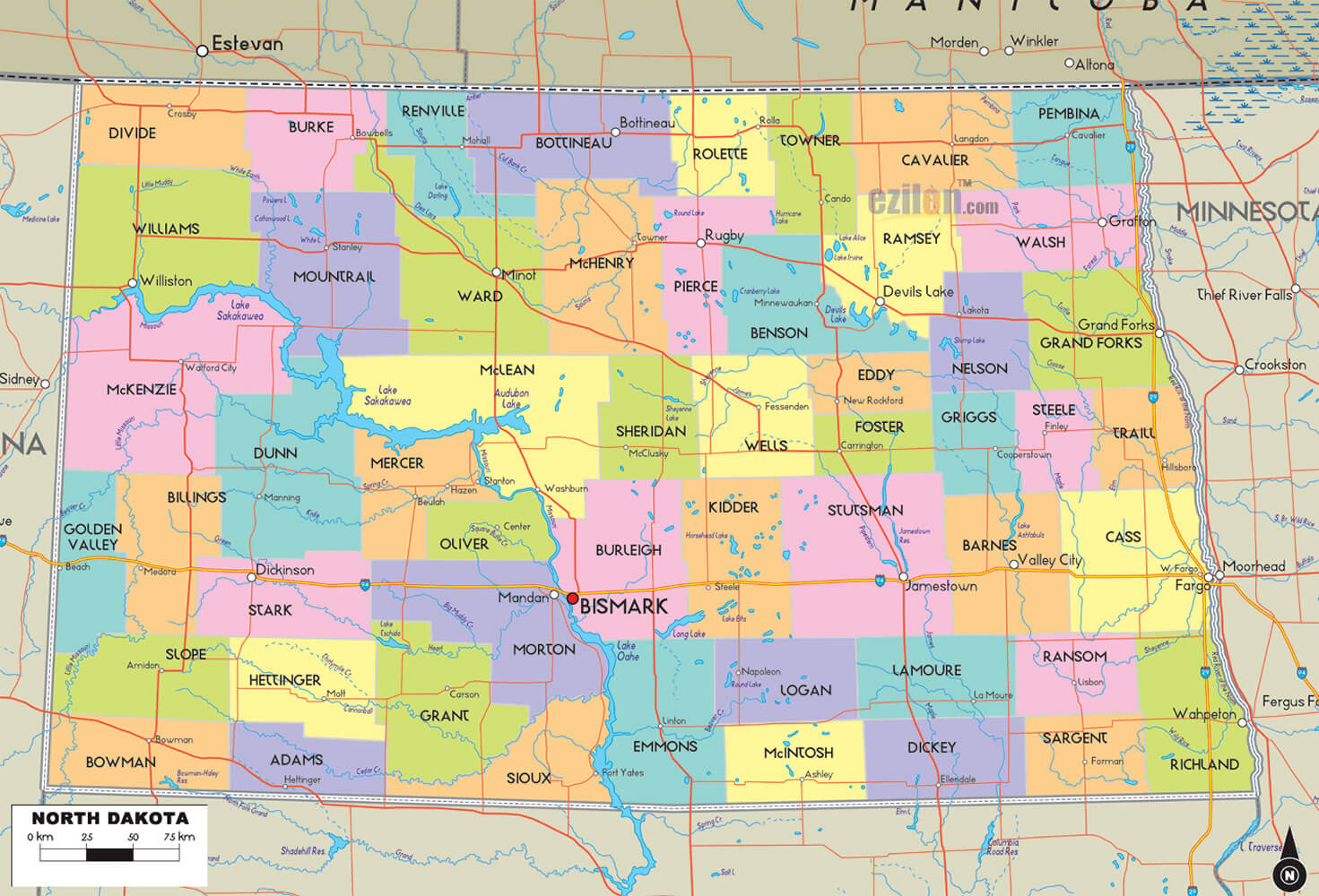
Largest Cities Map of North Dakota and Population
- Fargo Map - 105.549 - (46.877,-96.79)
- Bismarck Map - 61.272 - (46.808,-100.784)
- Grand Forks Map - 52.838 - (47.925,-97.033)
- Minot Map - 40.888 - (48.233,-101.296)
- West Fargo Map - 25.830 - (46.875,-96.9)
- Mandan Map - 18.331 - (46.827,-100.89)
- Dickinson Map - 17.787 - (46.879,-102.79)
- Jamestown Map - 15.427 - (46.911,-98.708)
- Williston Map - 14.716 - (48.147,-103.618)
- Wahpeton Map - 7.766 - (46.265,-96.606)
- Devils Lake Map - 7.141 - (48.112779, -98.865120)
- Valley City Map - 6.585 - (46.923313, -98.003155)
- Minot AFB Map - 5.521 - (48.418112, -101.345545)
- Grafton Map - 4.284 - (48.412211, -97.410634)
- Beulah Map - 3.121 - (47.263340, -101.777946)
- Rugby Map - 2.876 - (48.368888, -99.996246)
- Horace Map - 2.430 - (46.758855, -96.903697)
- Hazen Map - 2.411 - (47.294448, -101.622665)
- Lincoln Map - 2.406 - (46.762494, -100.700402)
- Grand Forks AFB Map - 2.367 - (47.962155, -97.383914)
Click for North Dakota Satellite Images Direction »
Click for North Dakota Satellite Images Street View »
Copyright Turkey Travel Guide - 2005 - 2026. All rights reserved. Privacy Policy | Disclaimer