USA Maps Collection: Explore States, Rivers, Population & Geography
Explore detailed USA maps including political, physical, population density, road, rivers, climate, and state maps. Discover informative maps of the United States for travel, education, geography, and research.
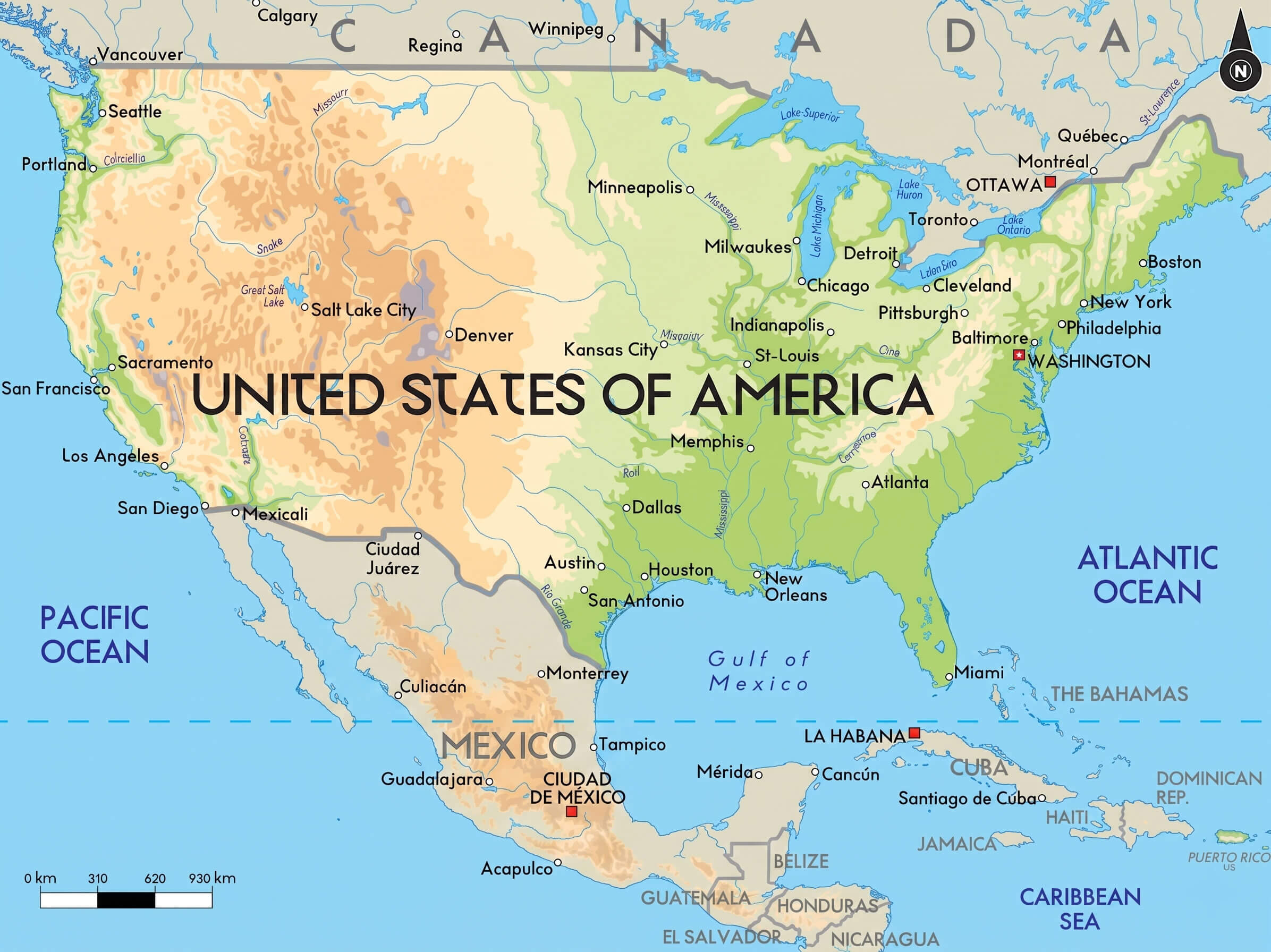
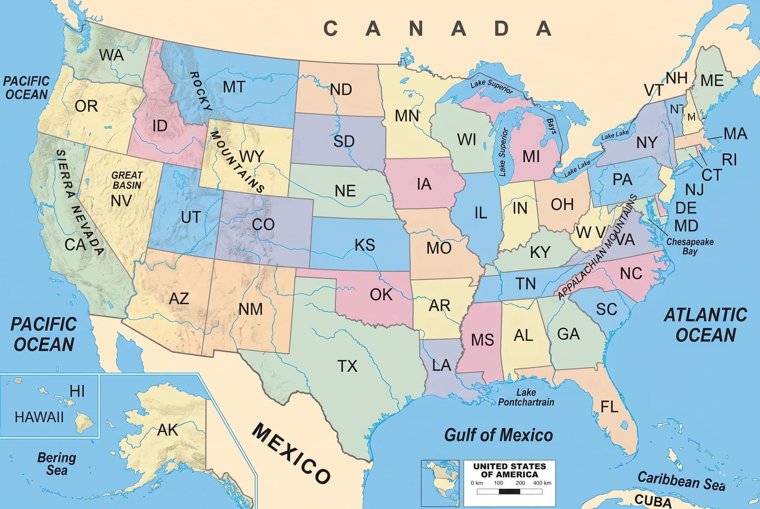
Physical map of the United States
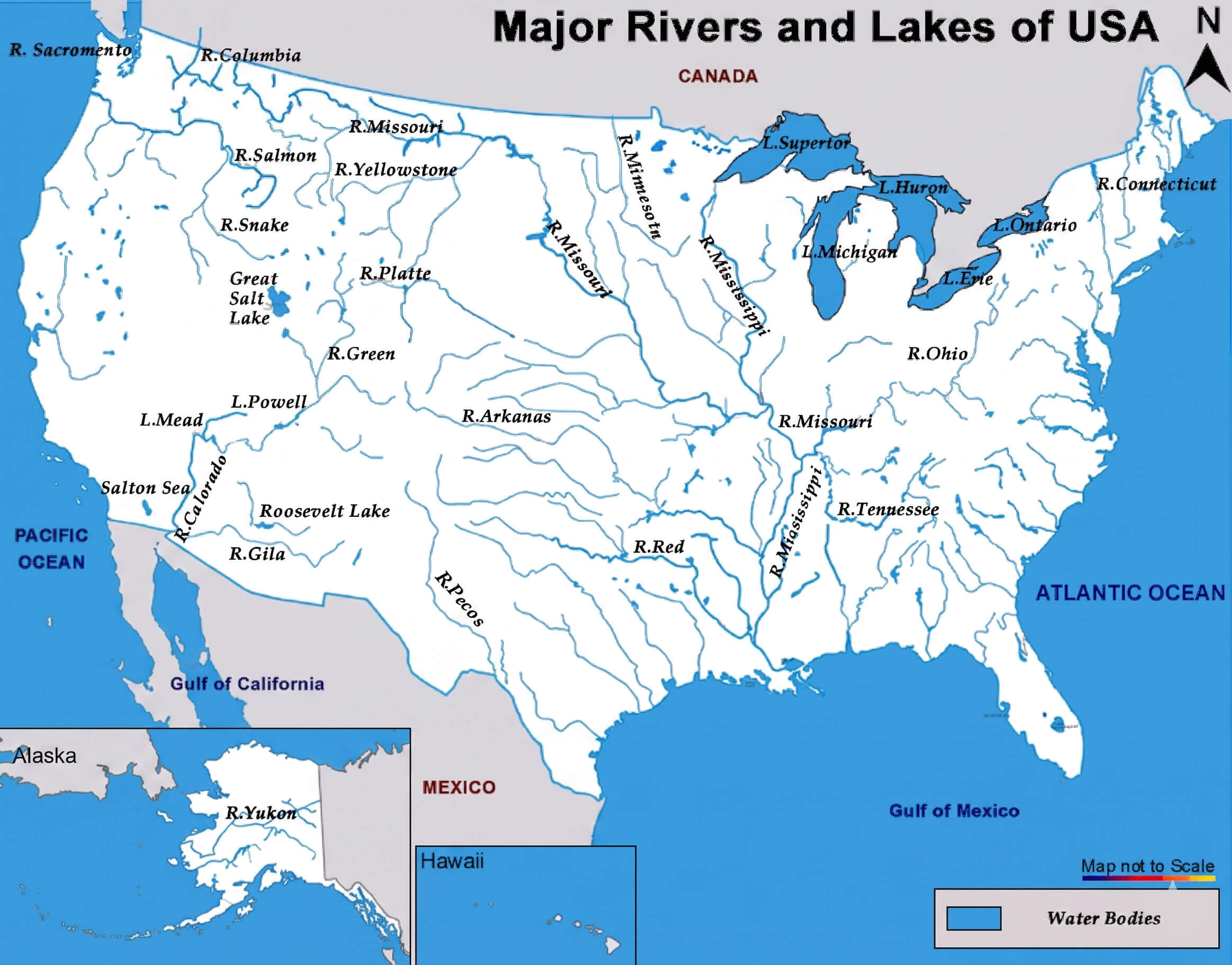
USA major rivers and lakes map
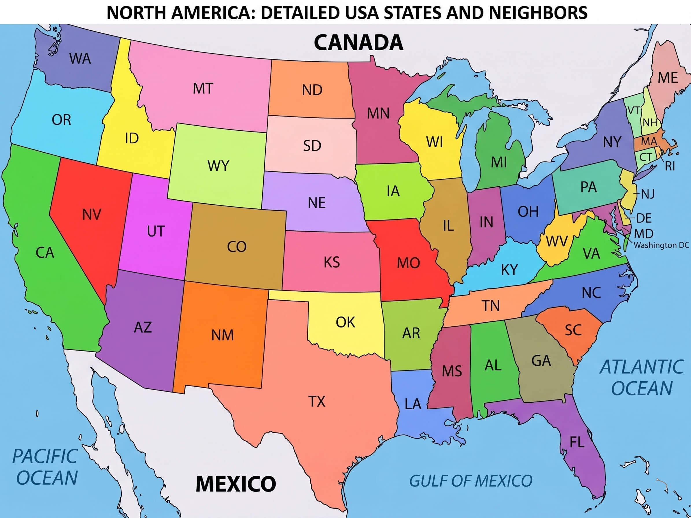
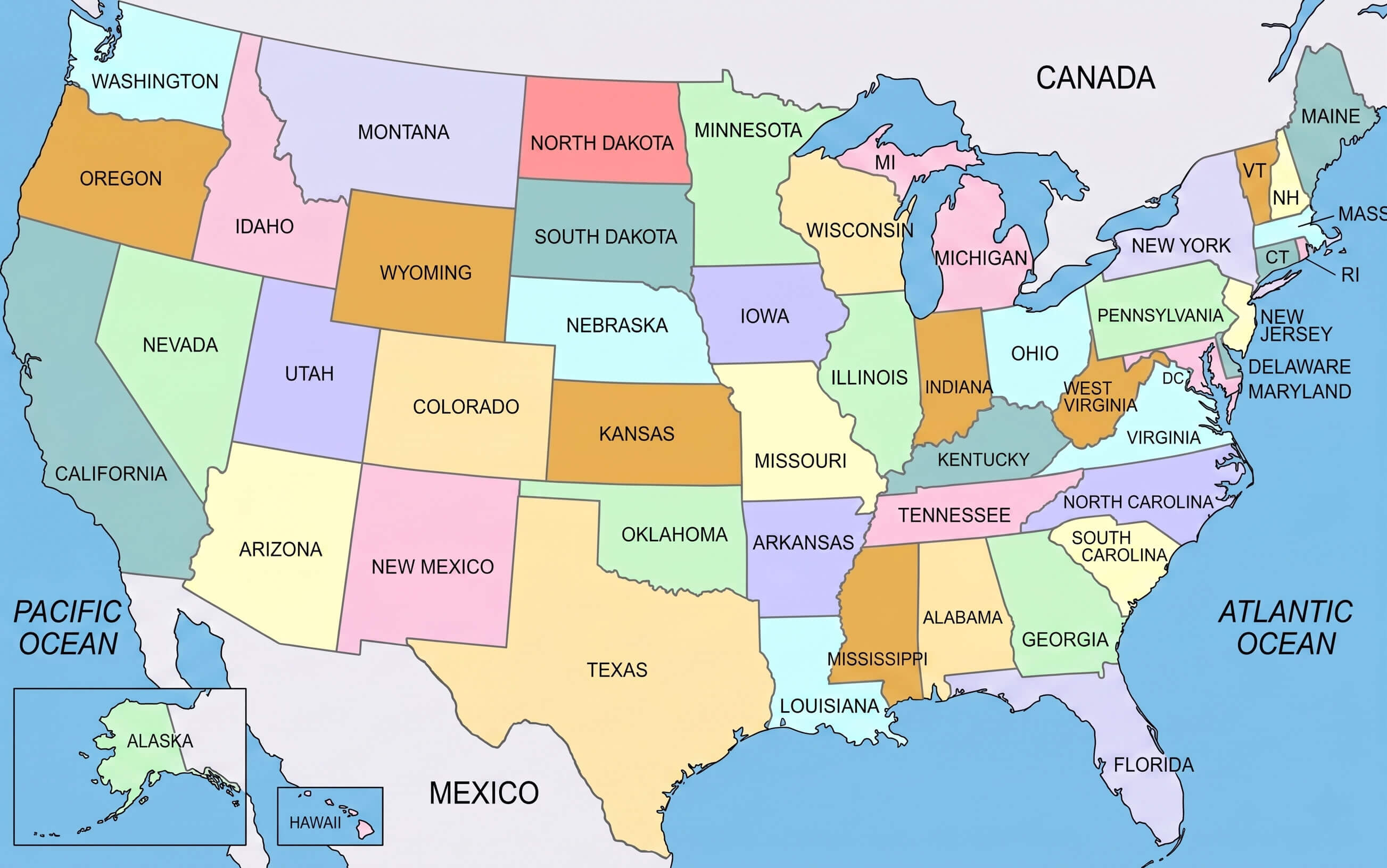
Colorful United States political map with us states

For broader geographic context, the collection also includes the location of the United States in the world map, a North America and US location map, and a USA states and regions map with regional division legends. Whether you are searching for a pastel United States country map, a political map of the United States of America, or educational maps for school and research purposes, these detailed USA maps provide valuable insights into the country’s regions, geography, and political structure.
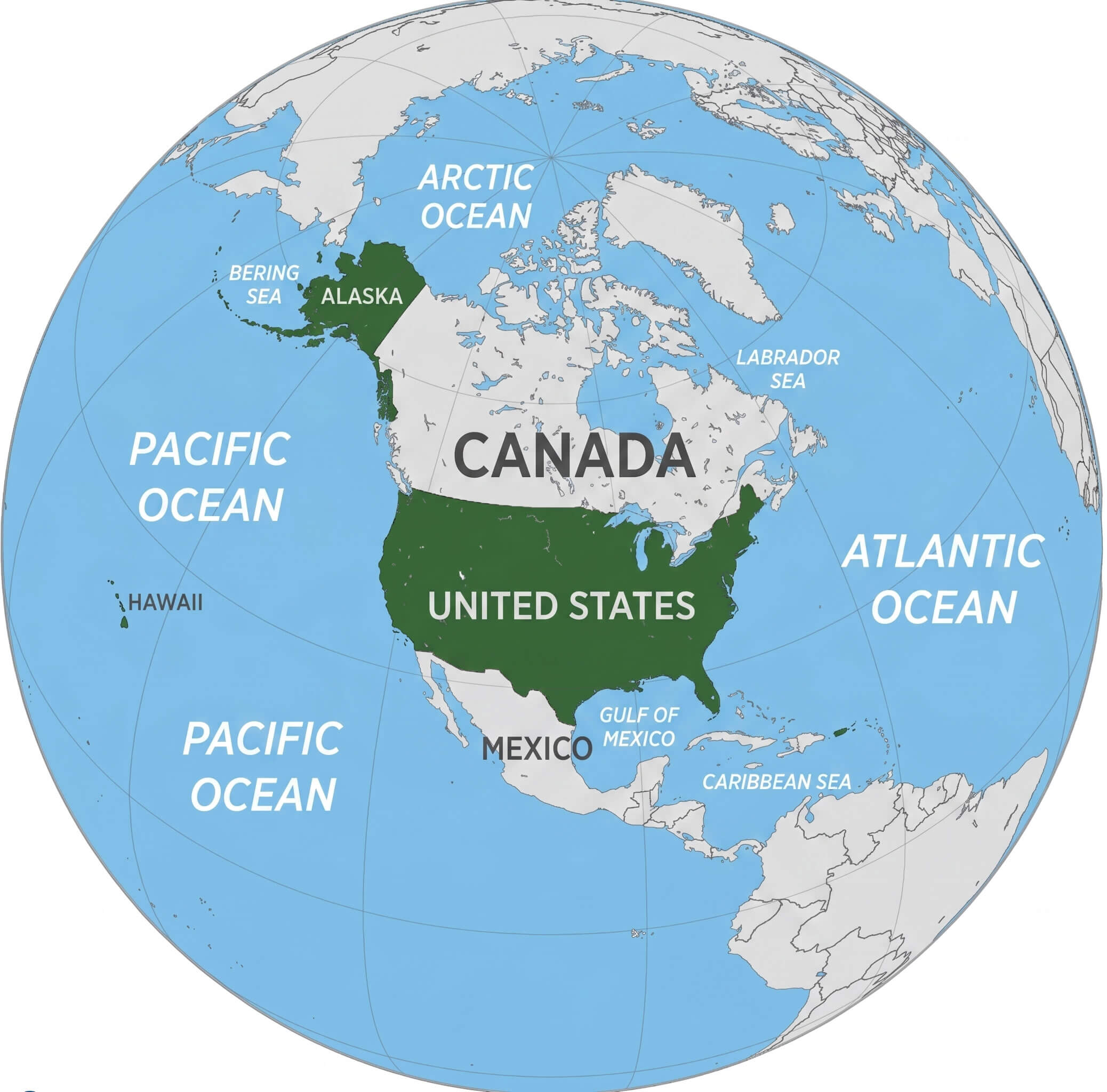
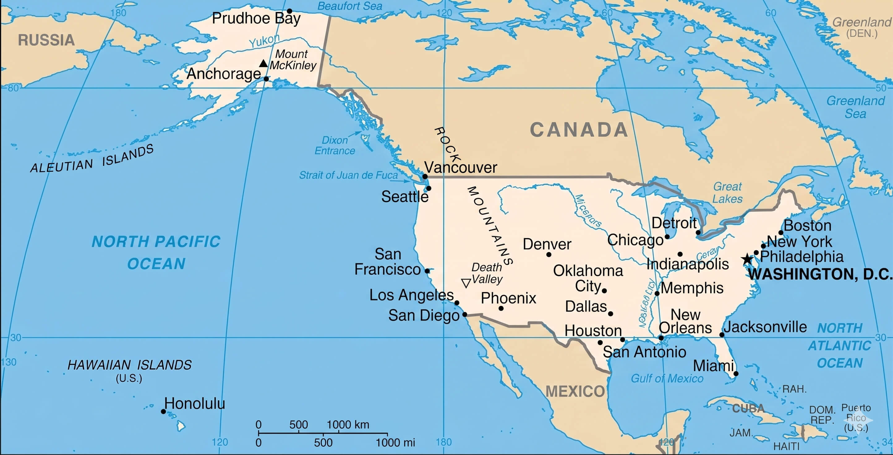
Location of the United States in the World map
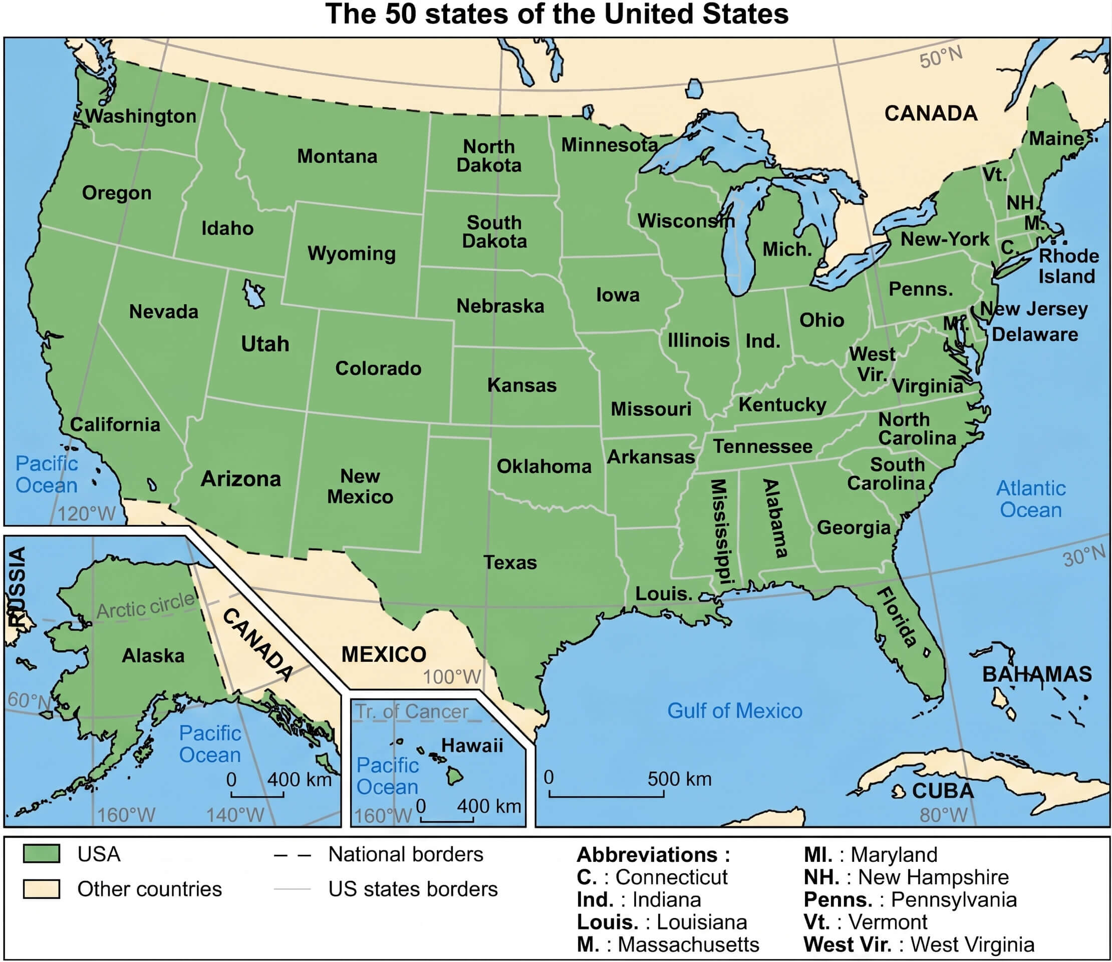
Map of the 50 us states
Detailed USA states map
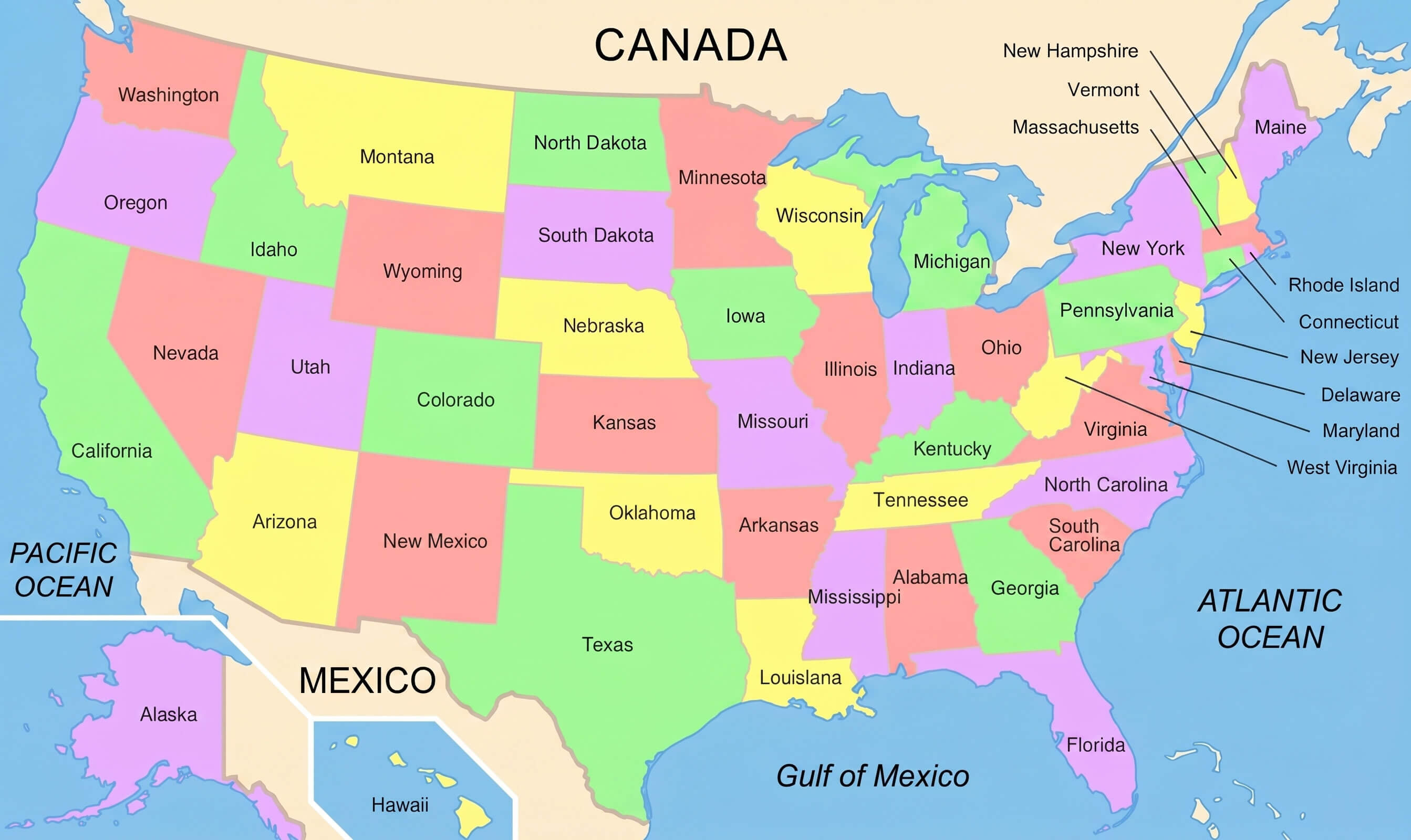
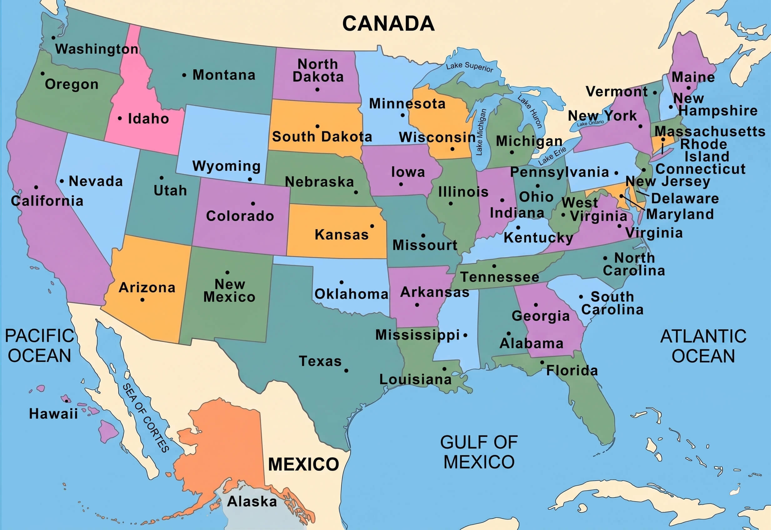
Blank colorful us states map
North America and us location map
Pastel United States country map
political map of the United States of America
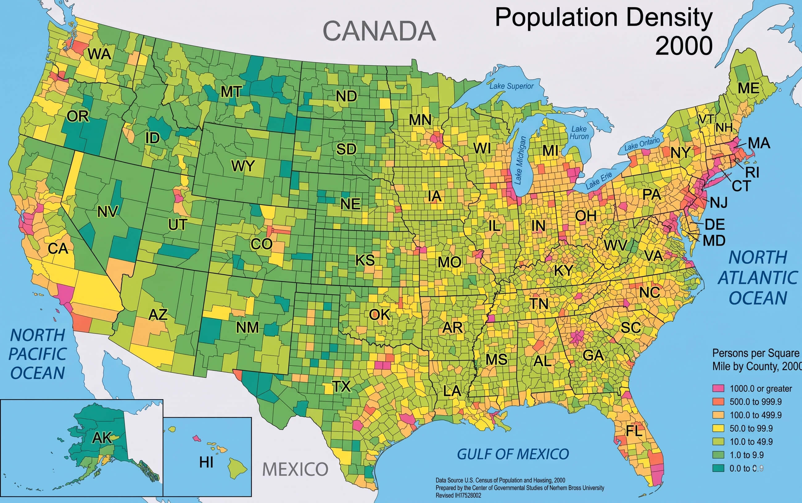
USA population density map
USA regional division legend map

USA states and regions map
Feel free to explore these pages as well:
Copyright Turkey Travel Guide - 2005 - 2026. All rights reserved. Privacy Policy | Disclaimer