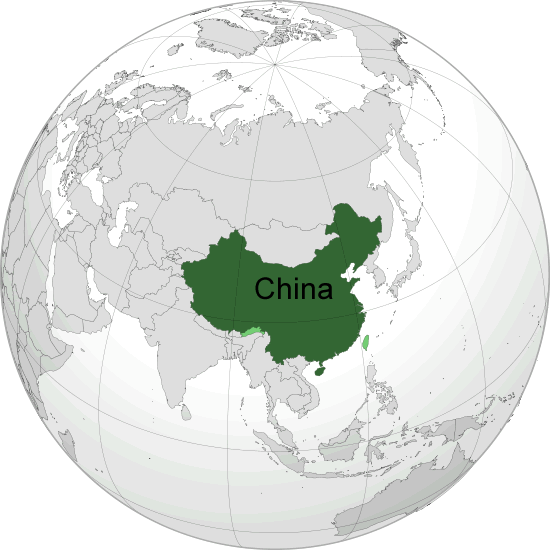
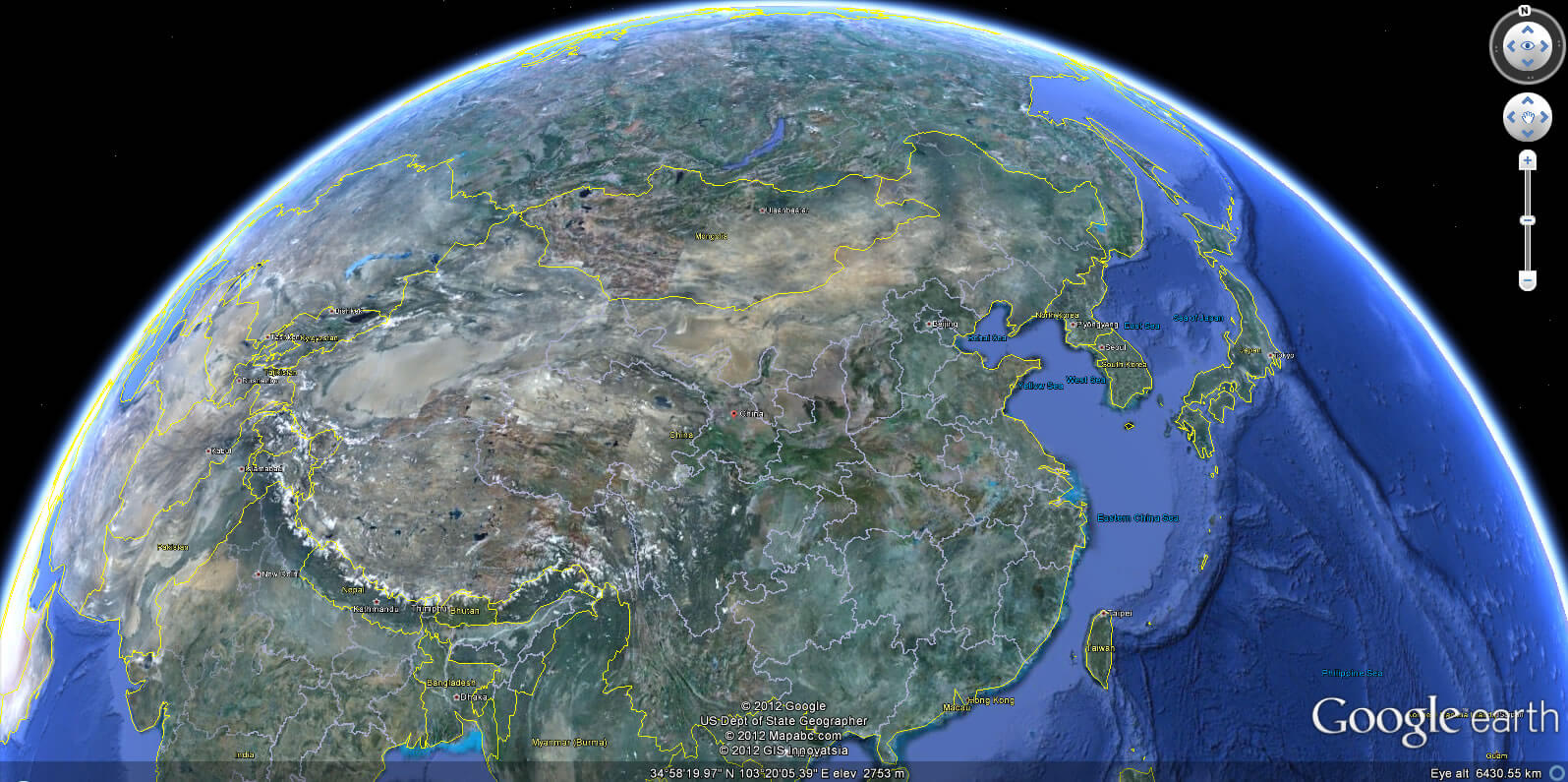
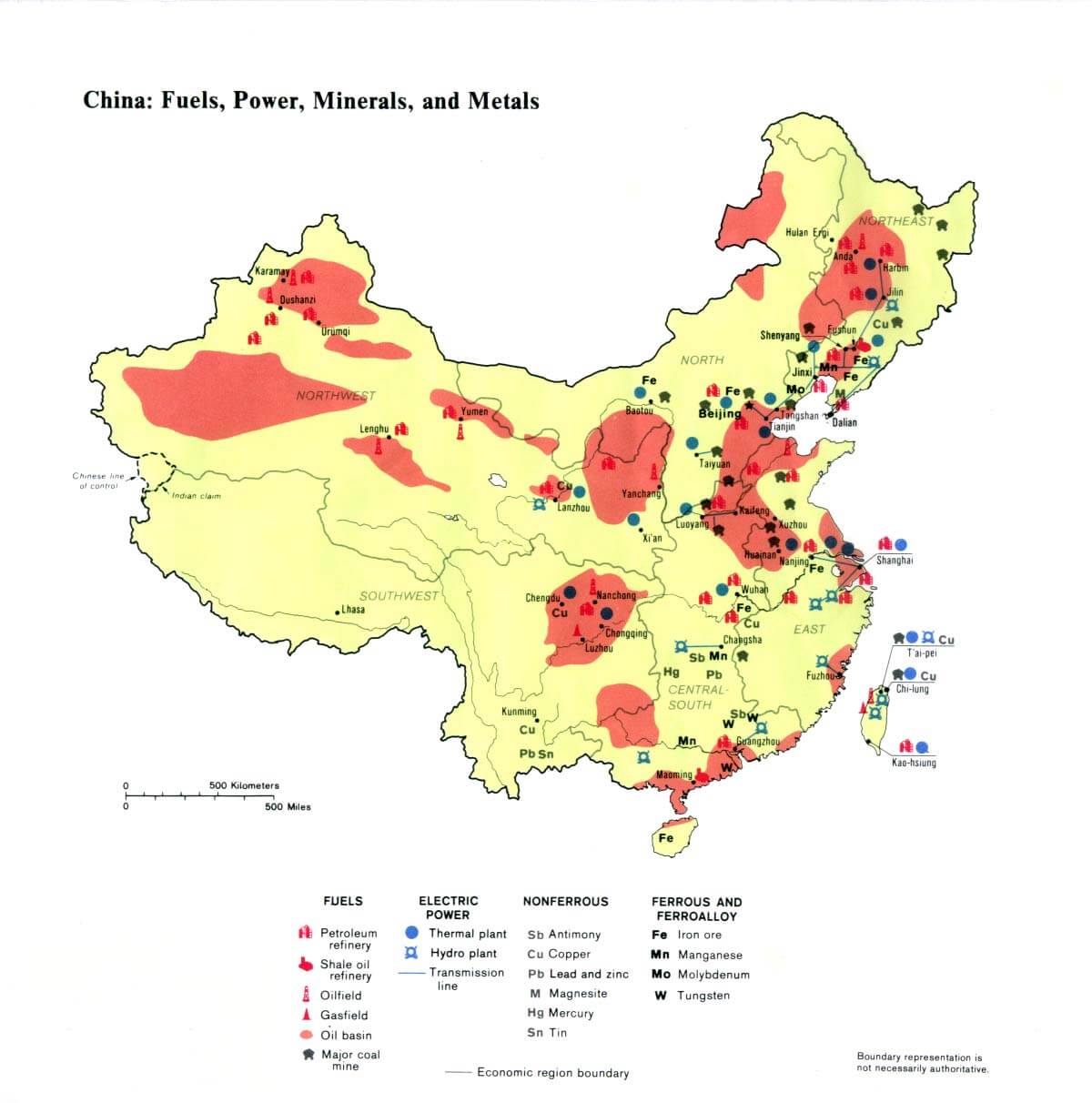
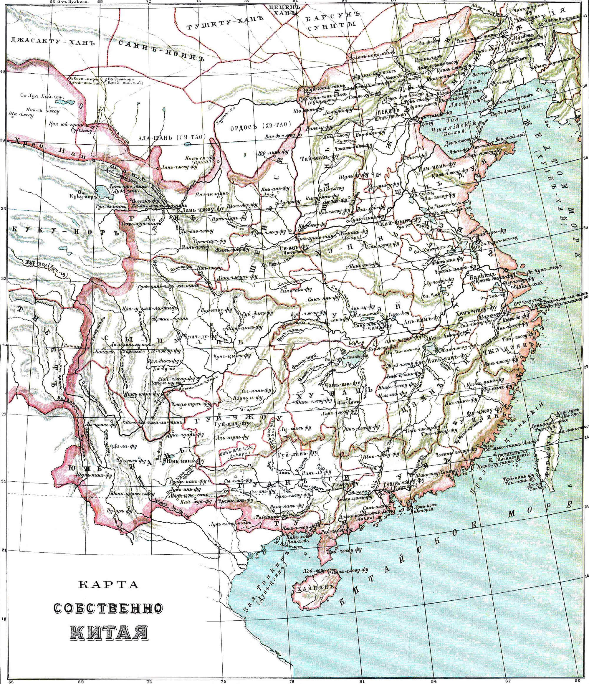
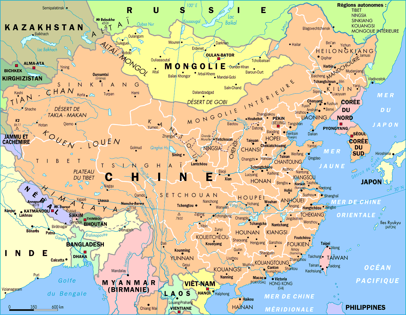
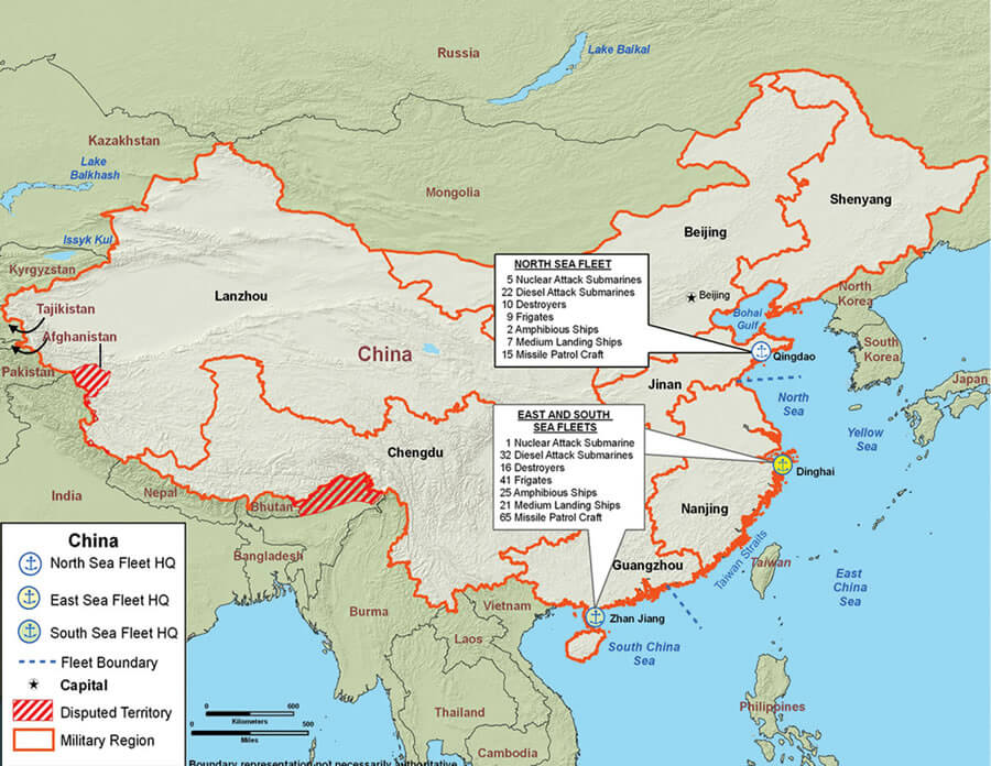
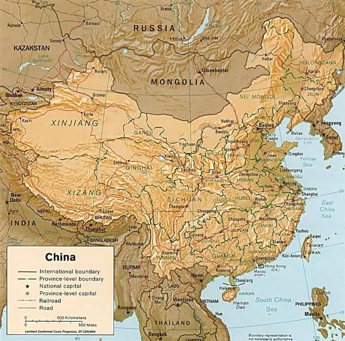
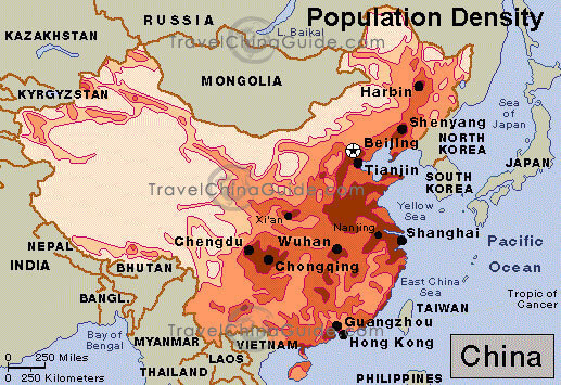
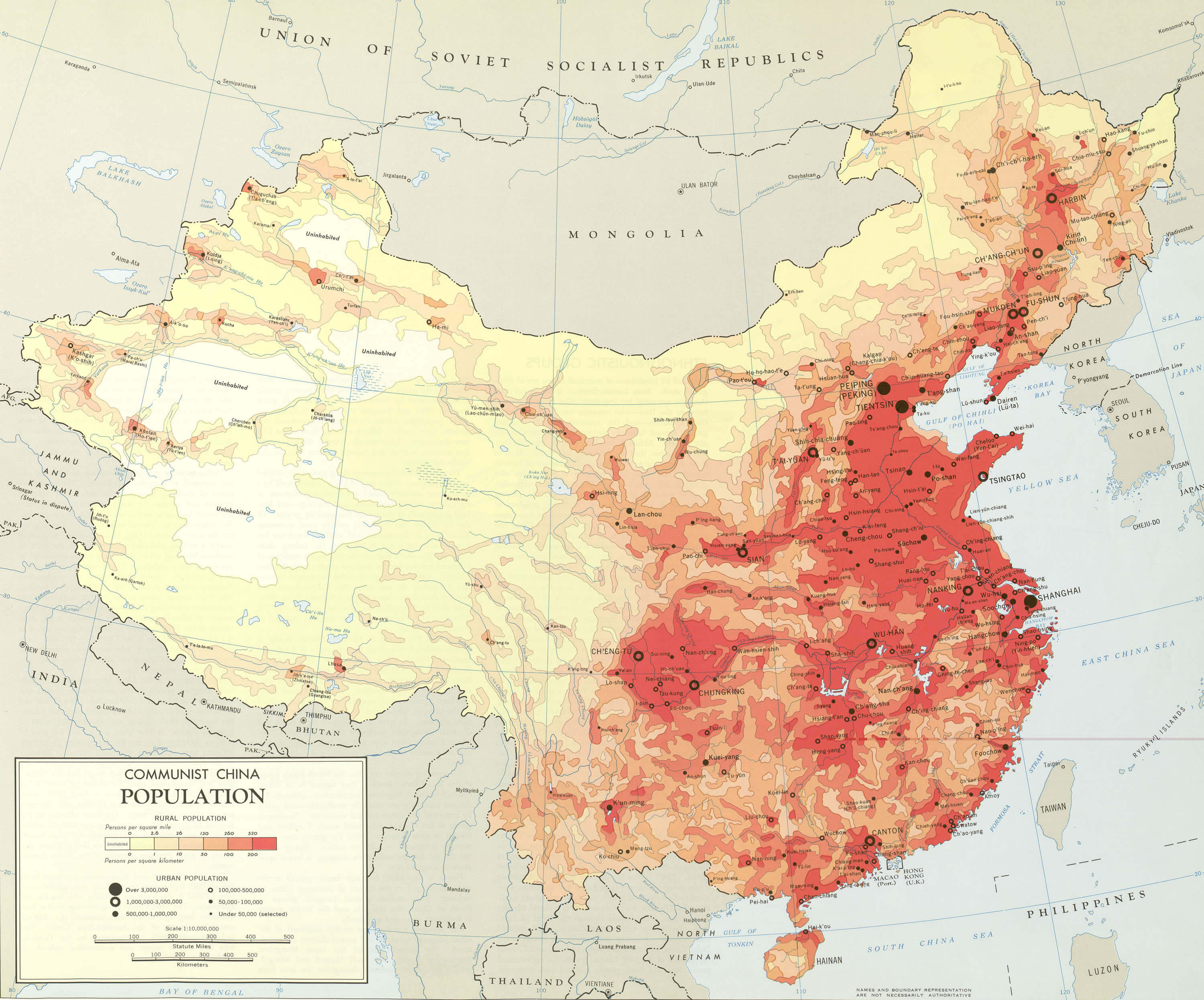
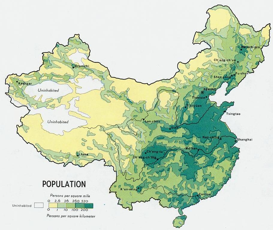
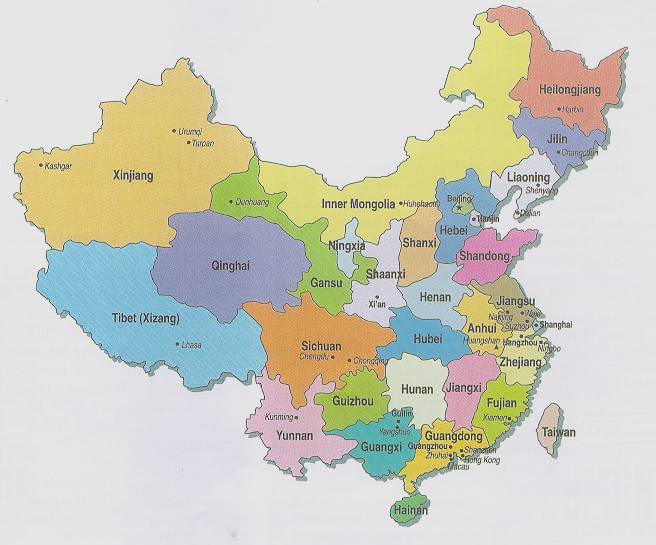
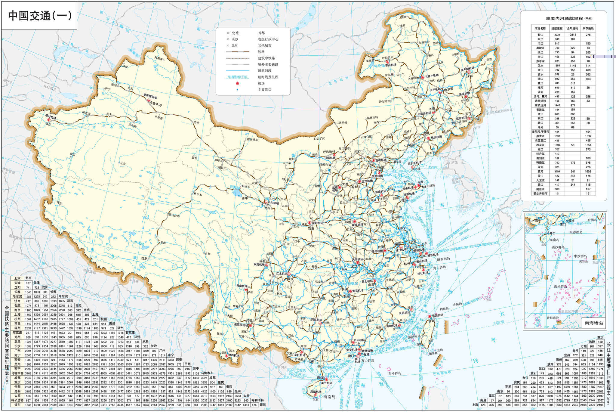
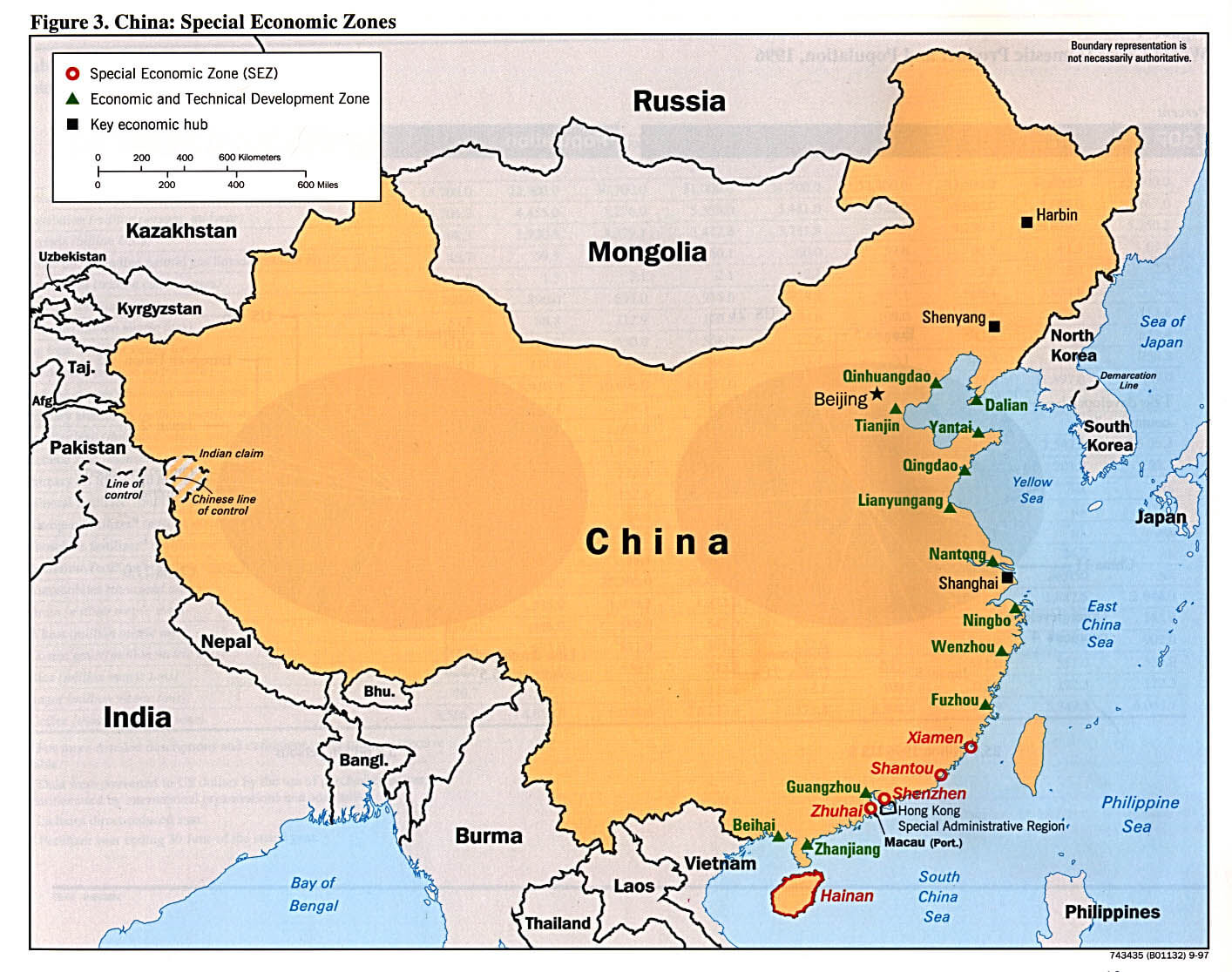
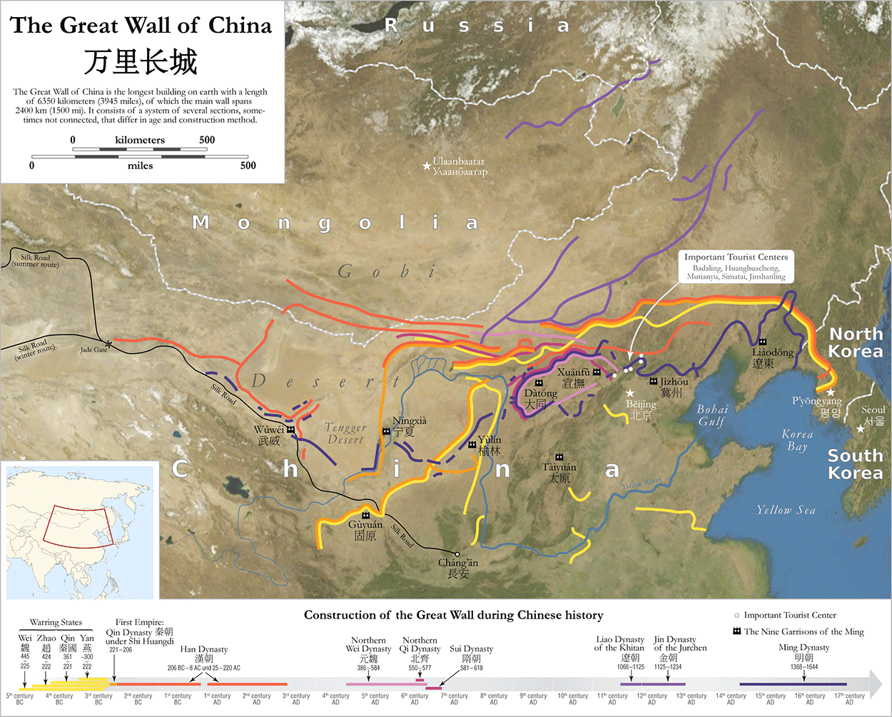
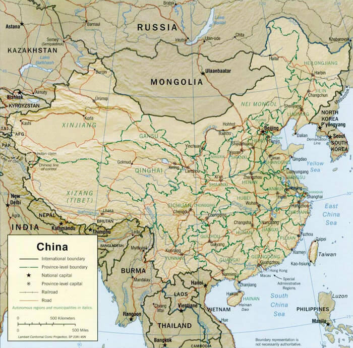
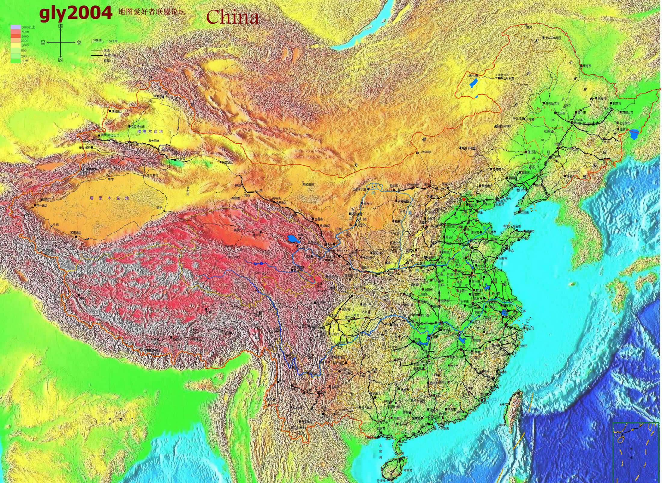
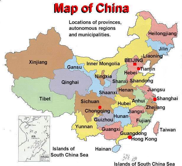
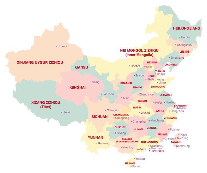
Map of China
Navigate map of China, China country maps, satellite images of the China, China largest city maps, political, physical map of China, driving directions and traffic maps.
Find desired maps by entering country, city, town, region or village names regarding under search criteria. On upper left Map of China (+) beside zoom in and (-) sign to to zoom out via the links you can visit. China Map move the mouse over it via (left click) and clicking the image you can drag. Right upper Map, Satellite, Terrain icons via the map view, satellite, hybrid and terrain map can be switch between images.
World Continents Map
North America Map Europe Map Asia Map South America Map Oceania Map Antarctica MapChina Google Map, Street Views, Maps Directions, Satellite Images
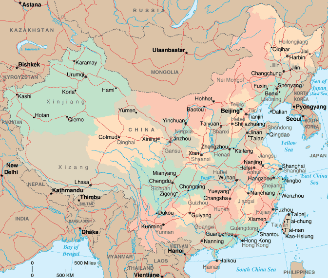
A collection Map of China

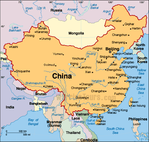
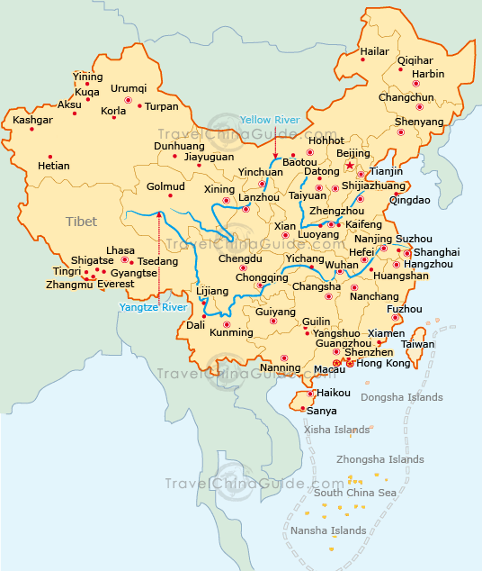
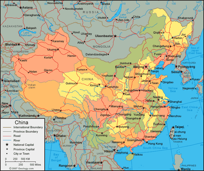
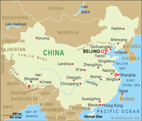

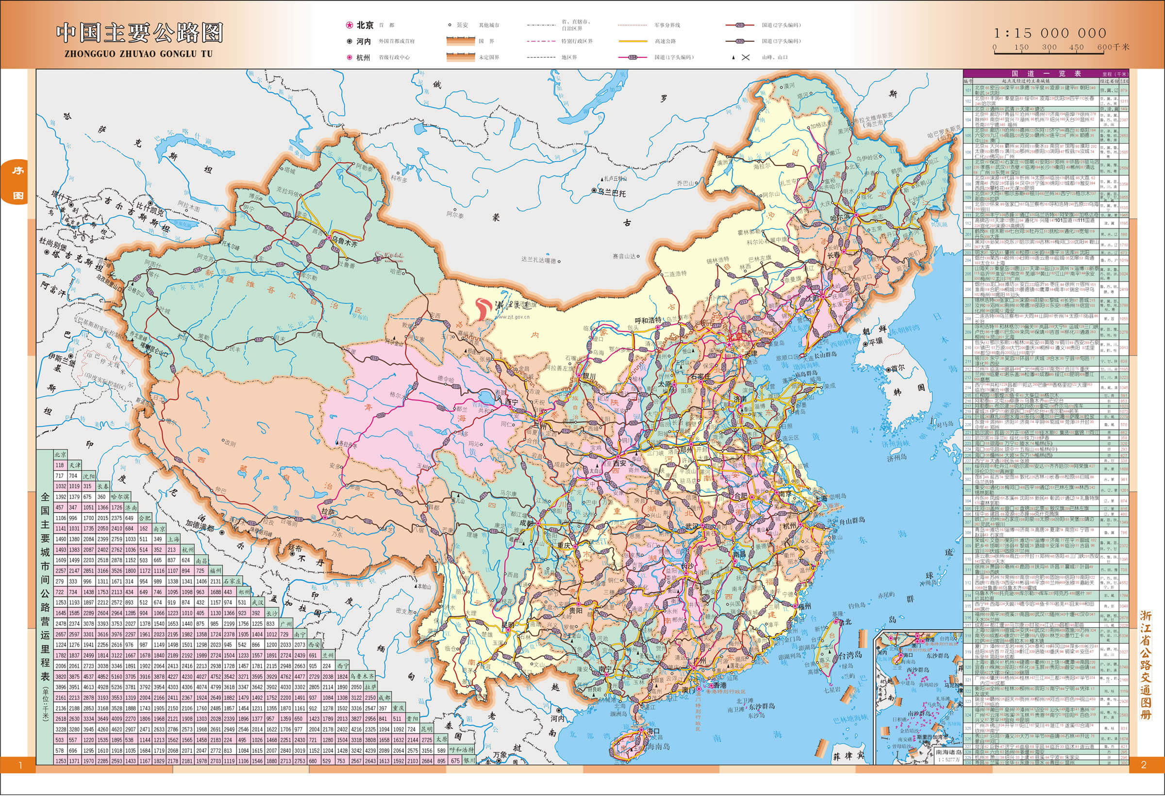
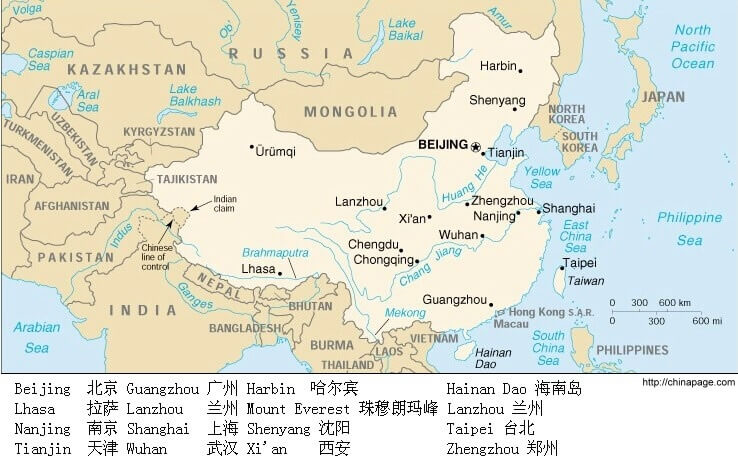
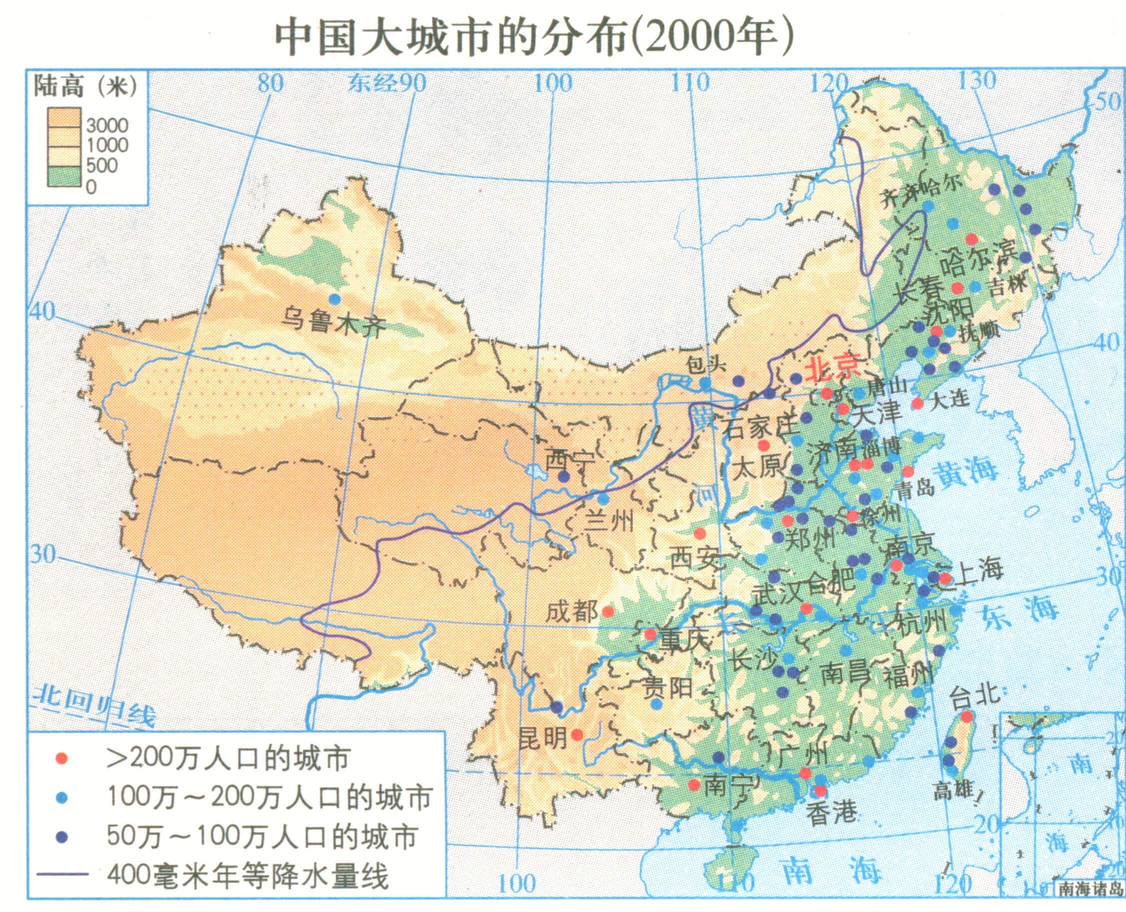


Largest Cities Map of China
Shanghai Map - Beijing Map - Guangzhou Map - Tianjin Map - Wuhan Map - Shenzhen Map - Chongqing Map - Shenyang Map - Chengdu Map - Foshan Map - Xi'an Map - Dongguan Map - Nanjing Map - Harbin Map - Changchun Map - Chongging Map - Dalian Map - Handan Map - Hangzhou Map - Jinan Map - Qingdao Map -China Google Map, Street Views, Maps Directions, Satellite Images
Submit URL to China :
Copyright Turkey Travel Guide - 2005 - 2026. All rights reserved. Privacy Policy | Disclaimer