- Capital :
Buenos Aires
- Population :
42,192,500
- GDP :
$474.812 billion (27th)
- Per Capita :
$11,572 (62nd)
- Calling Code :
+54
- Jobless Rate :
6.90%
- Time Zone :
-3
For more about Argentina »
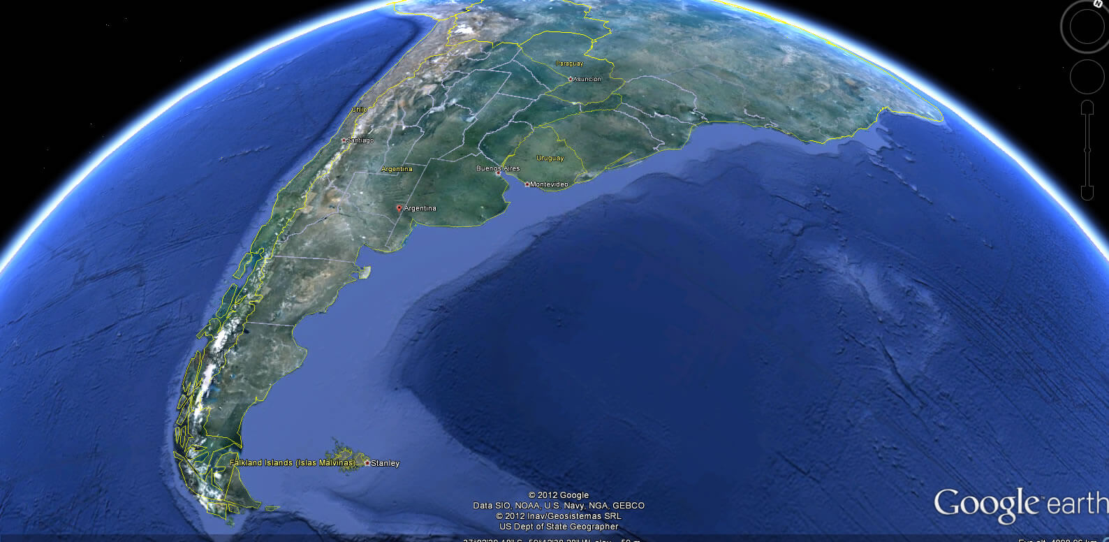
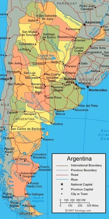
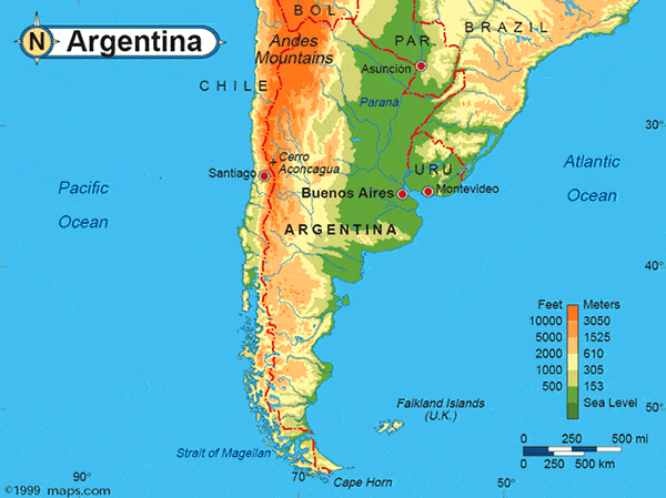
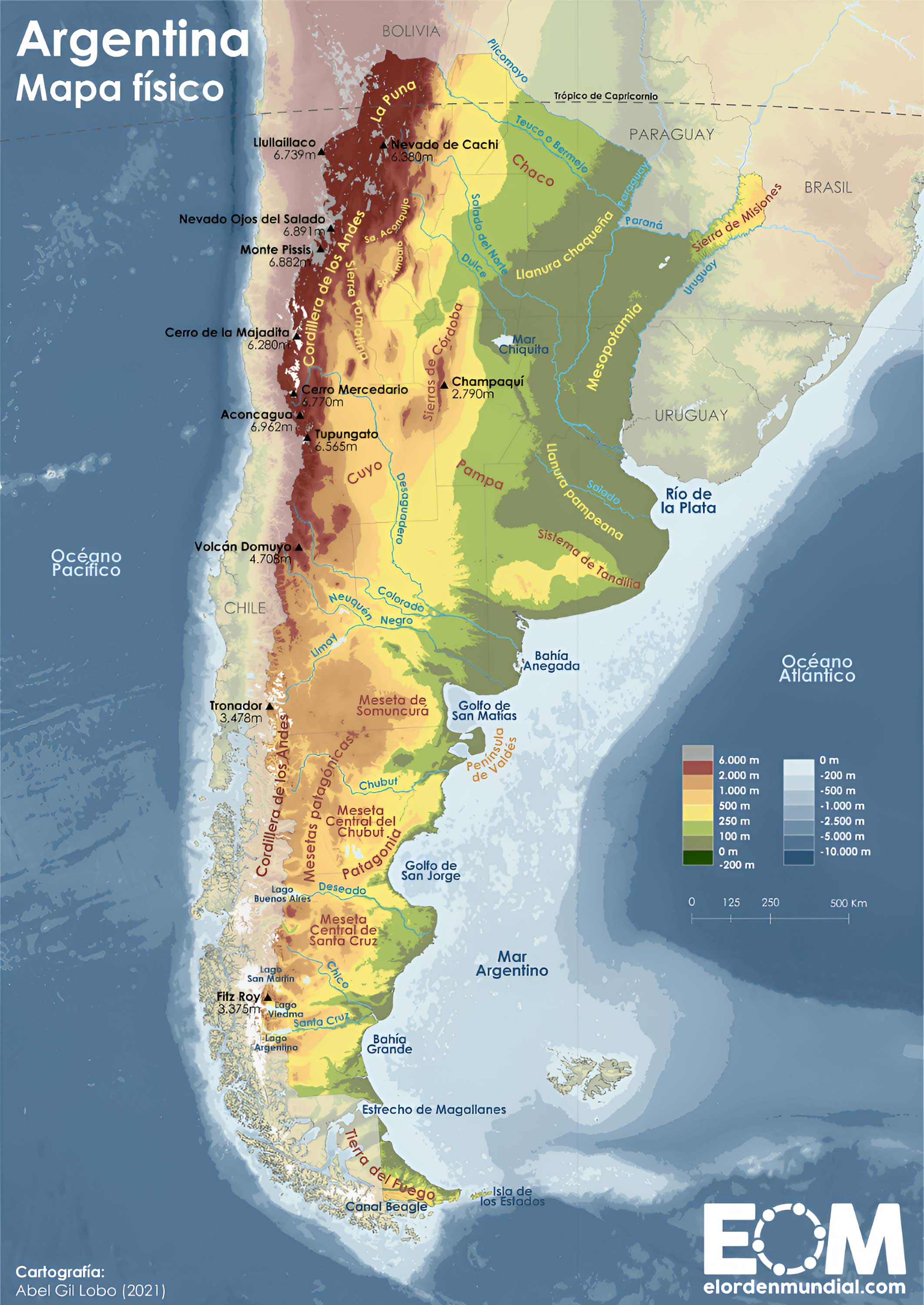
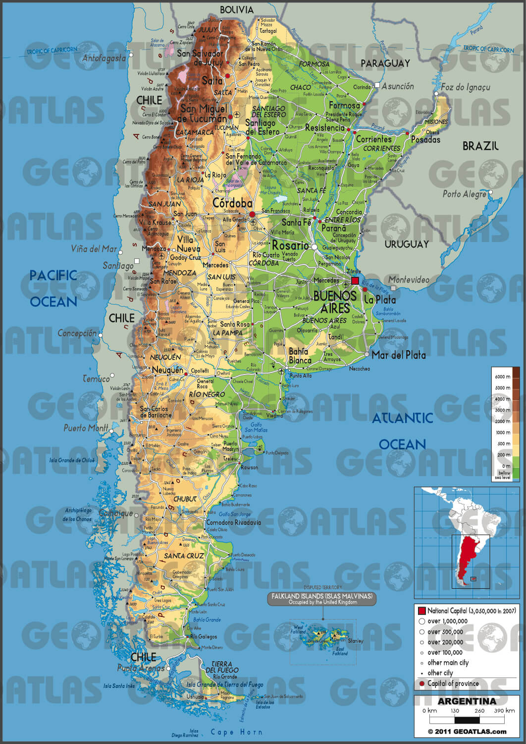
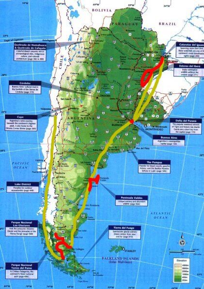
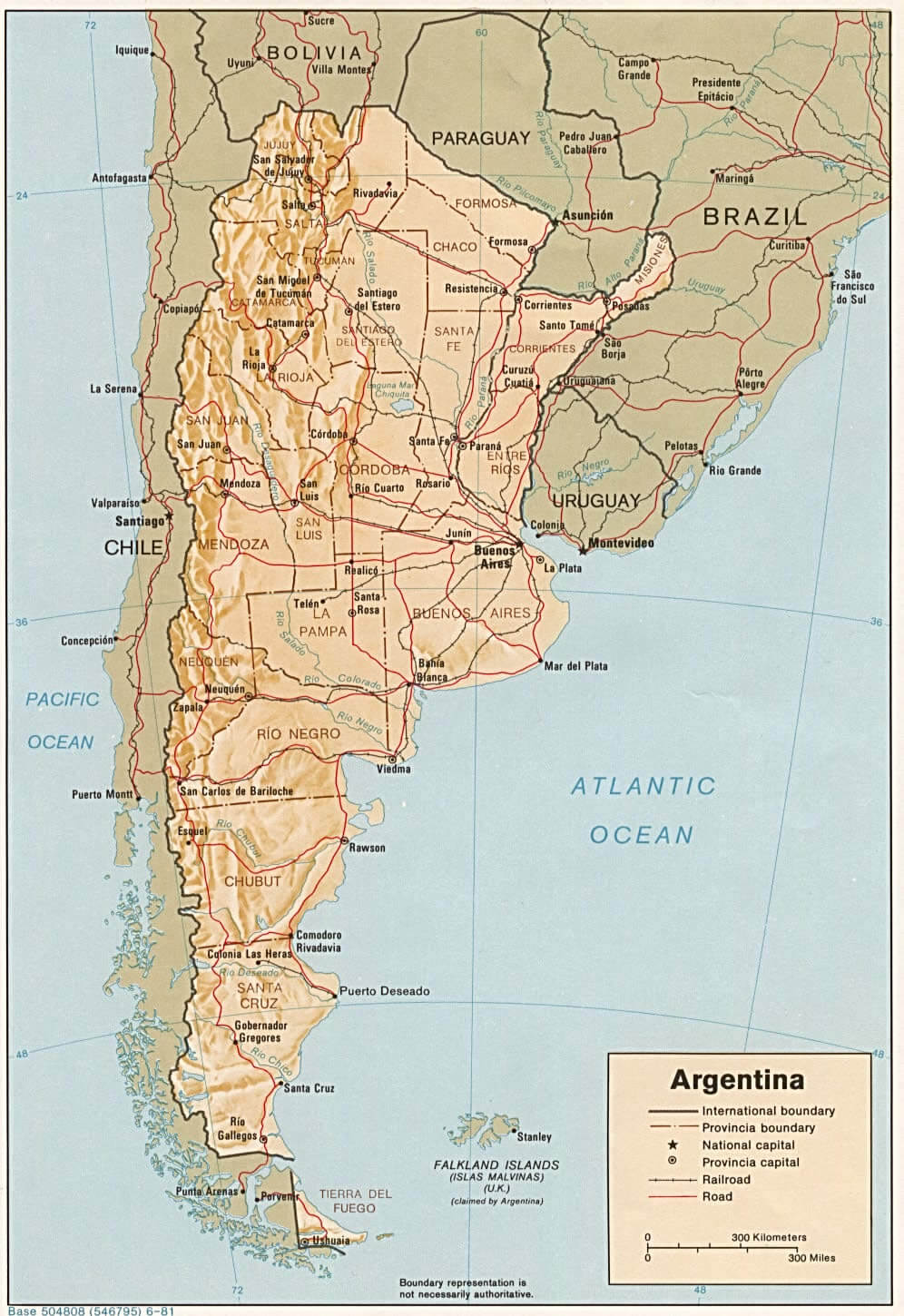
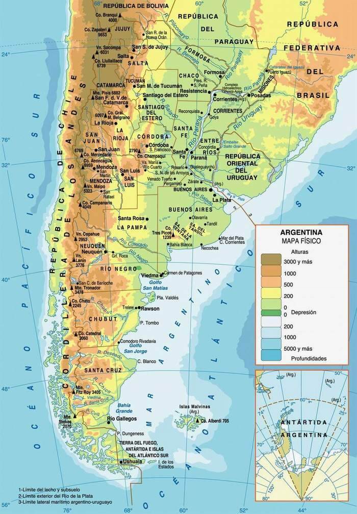
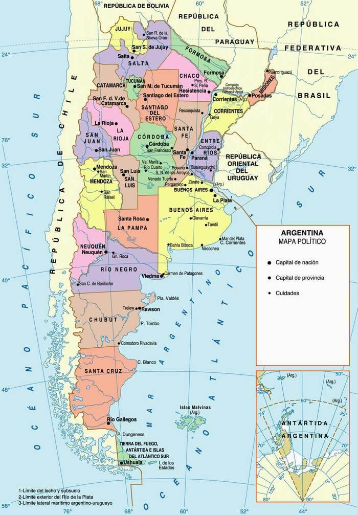
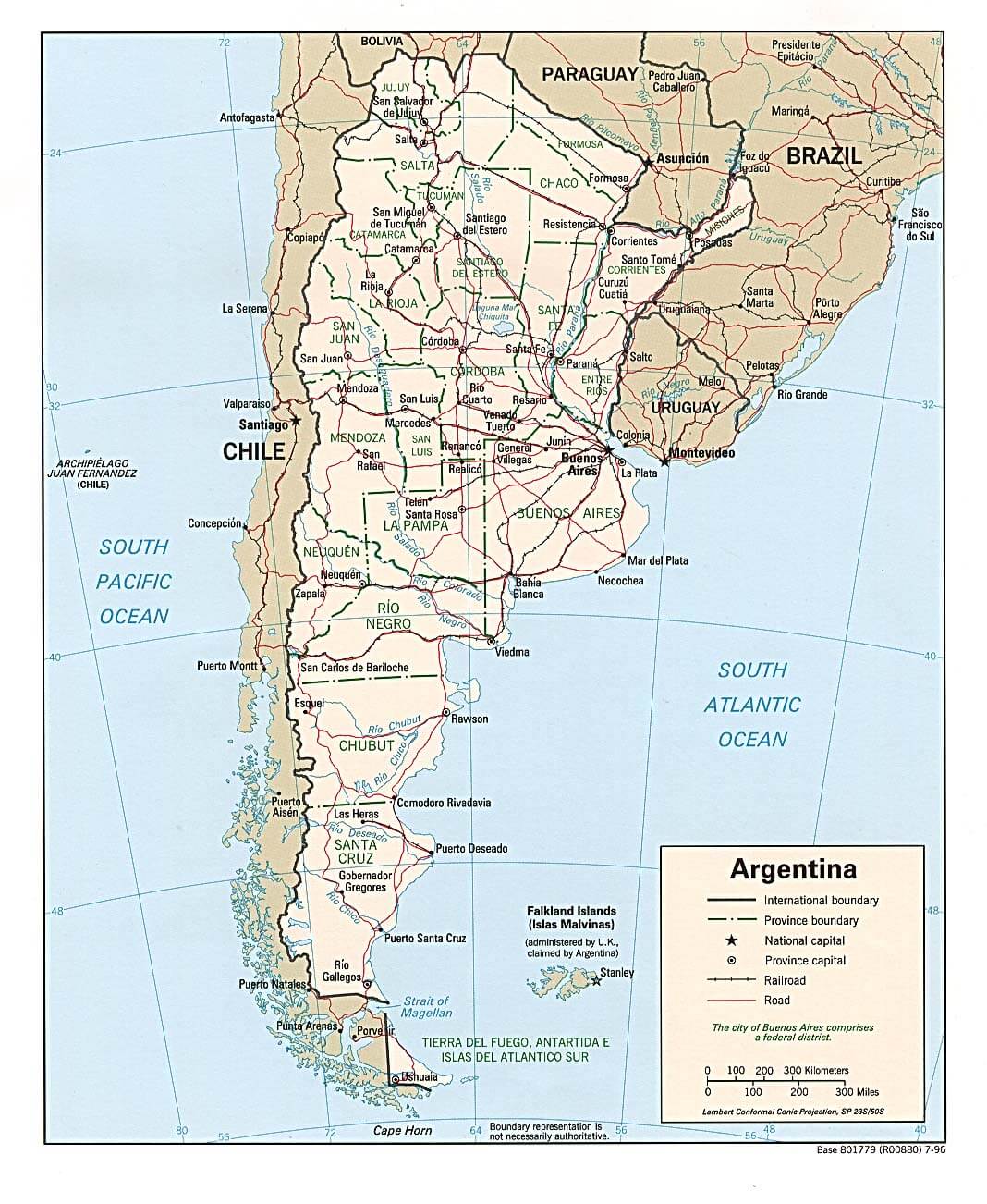
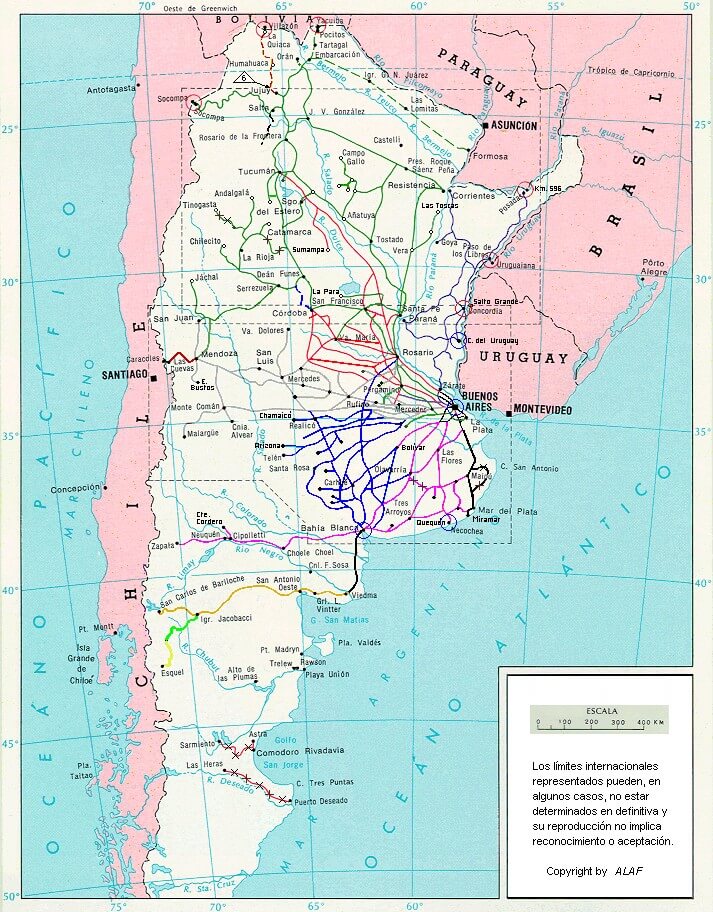
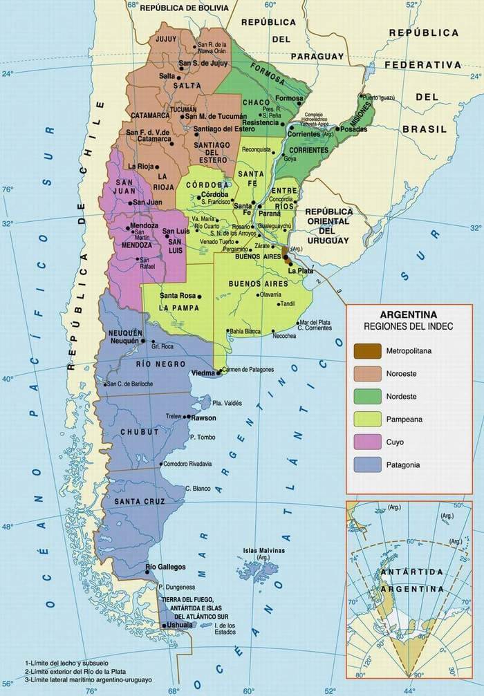
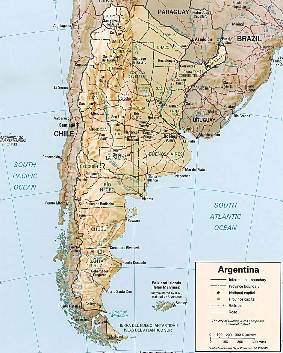
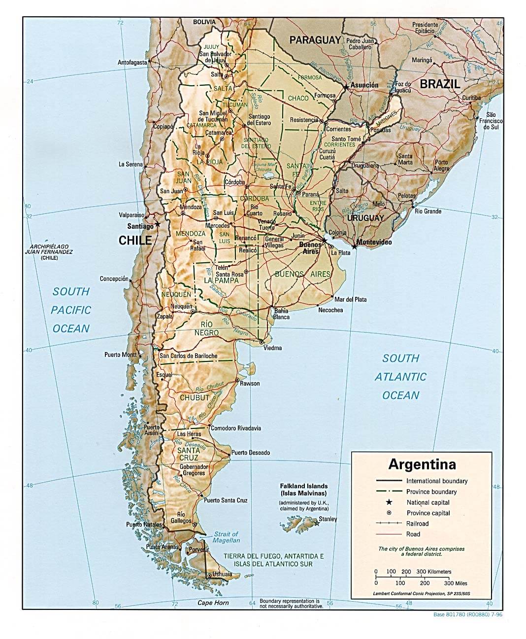
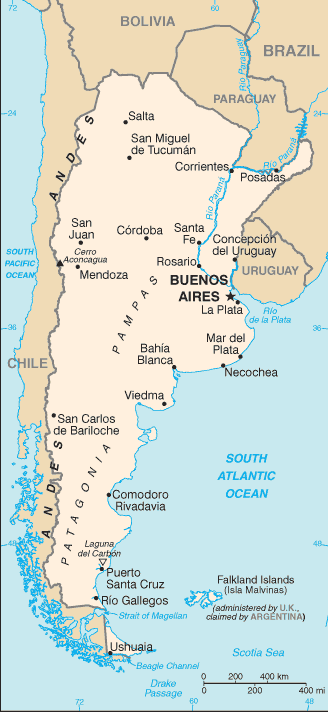
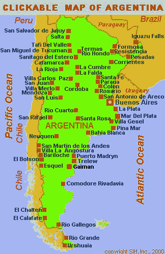
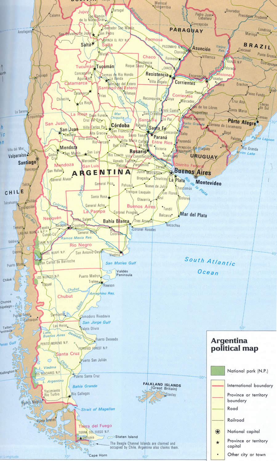
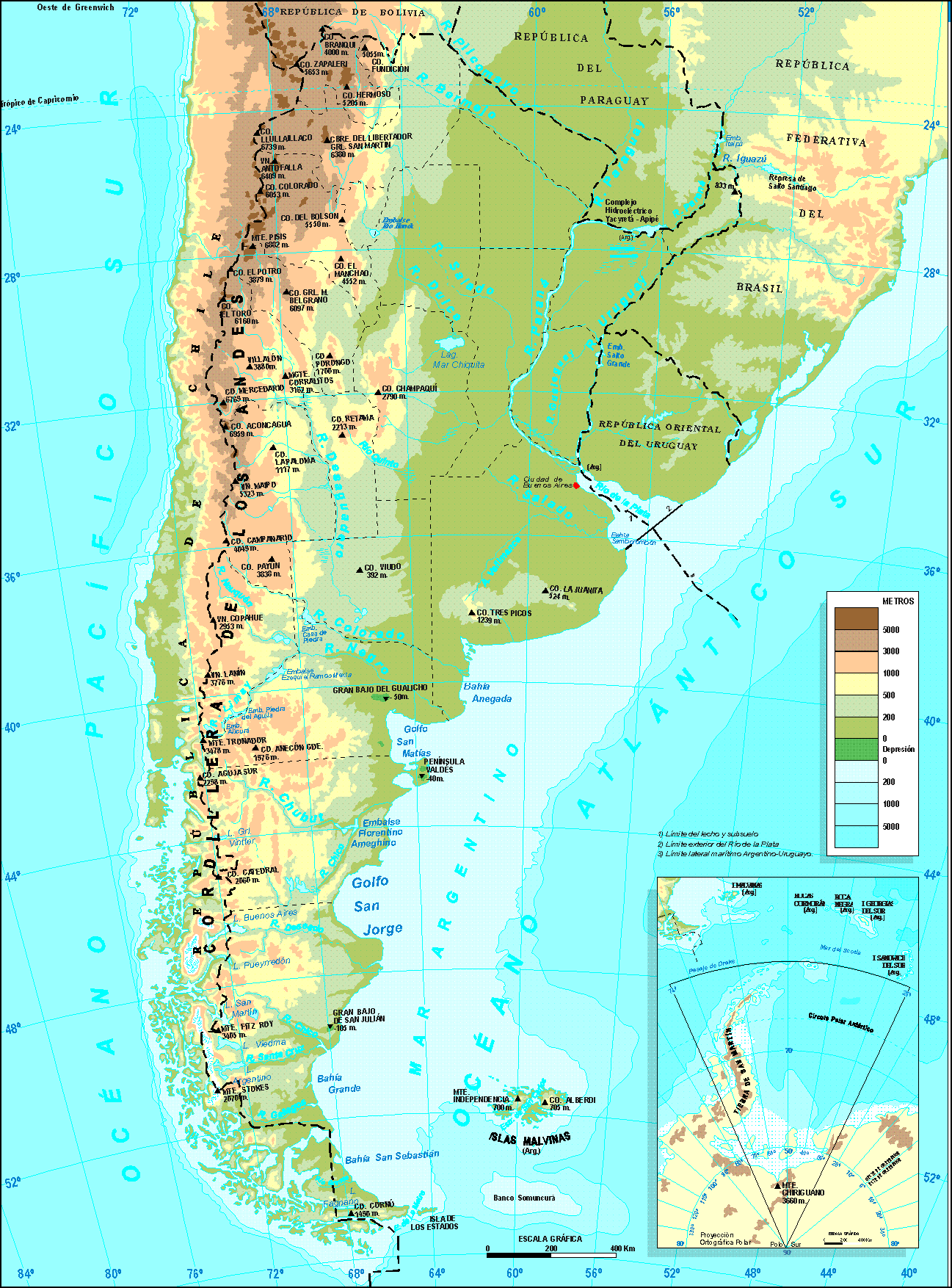
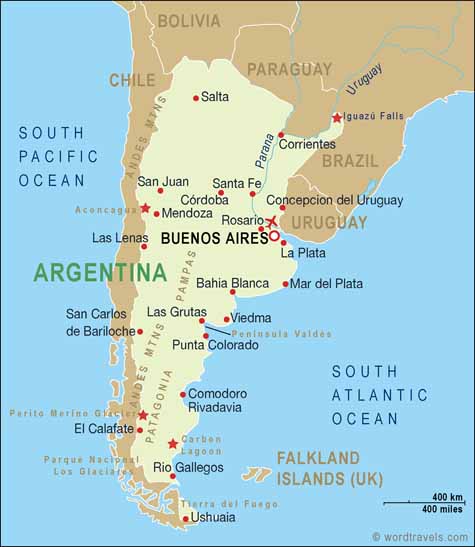
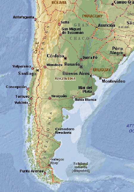
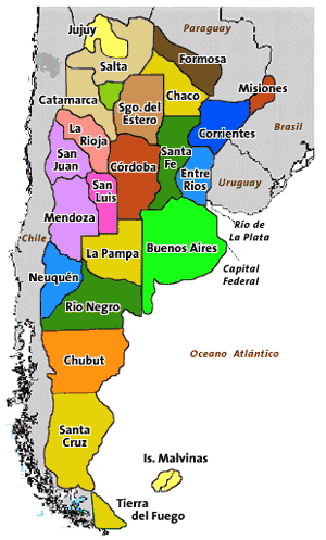
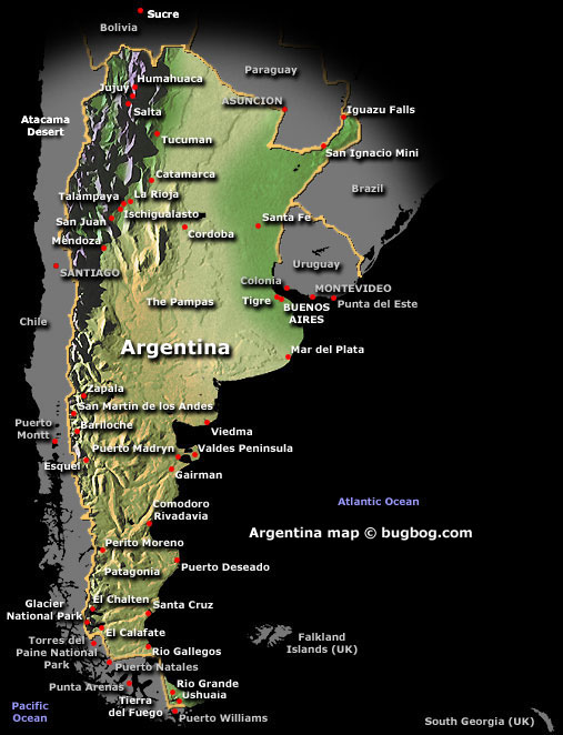
With interactive Argentina Map, view regional highways maps, road situations, transportation, lodging guide, geographical map, physical maps and more information. On Argentina Map, you can view all states, regions, cities, towns, districts, avenues, streets and popular centers' satellite, sketch and terrain maps.
Argentina Uncharted: Mapping the Heart of a Nation
Please subscribe on "World Guide" channnel on Youtube at youtube.com/c/WorldGuide
Buenos Aires' Top 10 Best Attractions
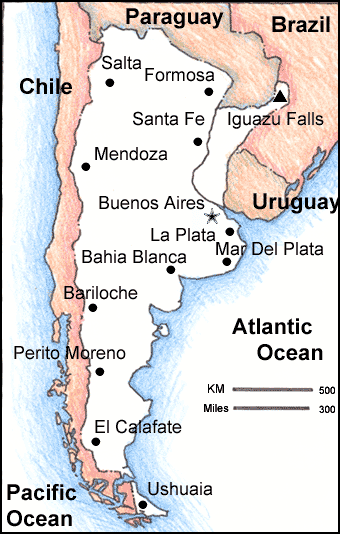
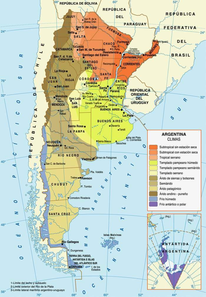
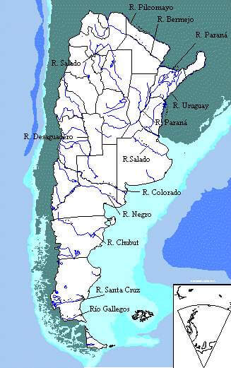
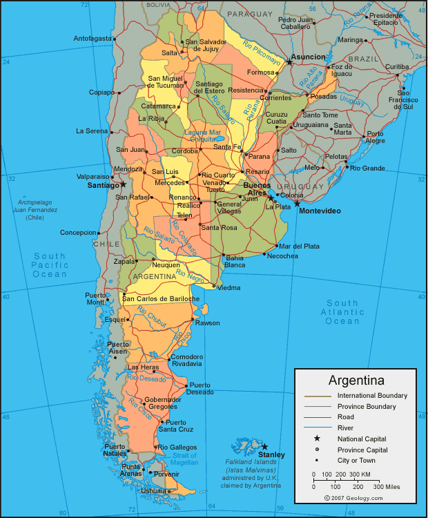
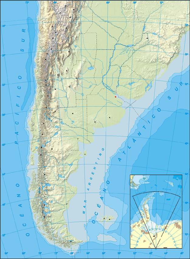
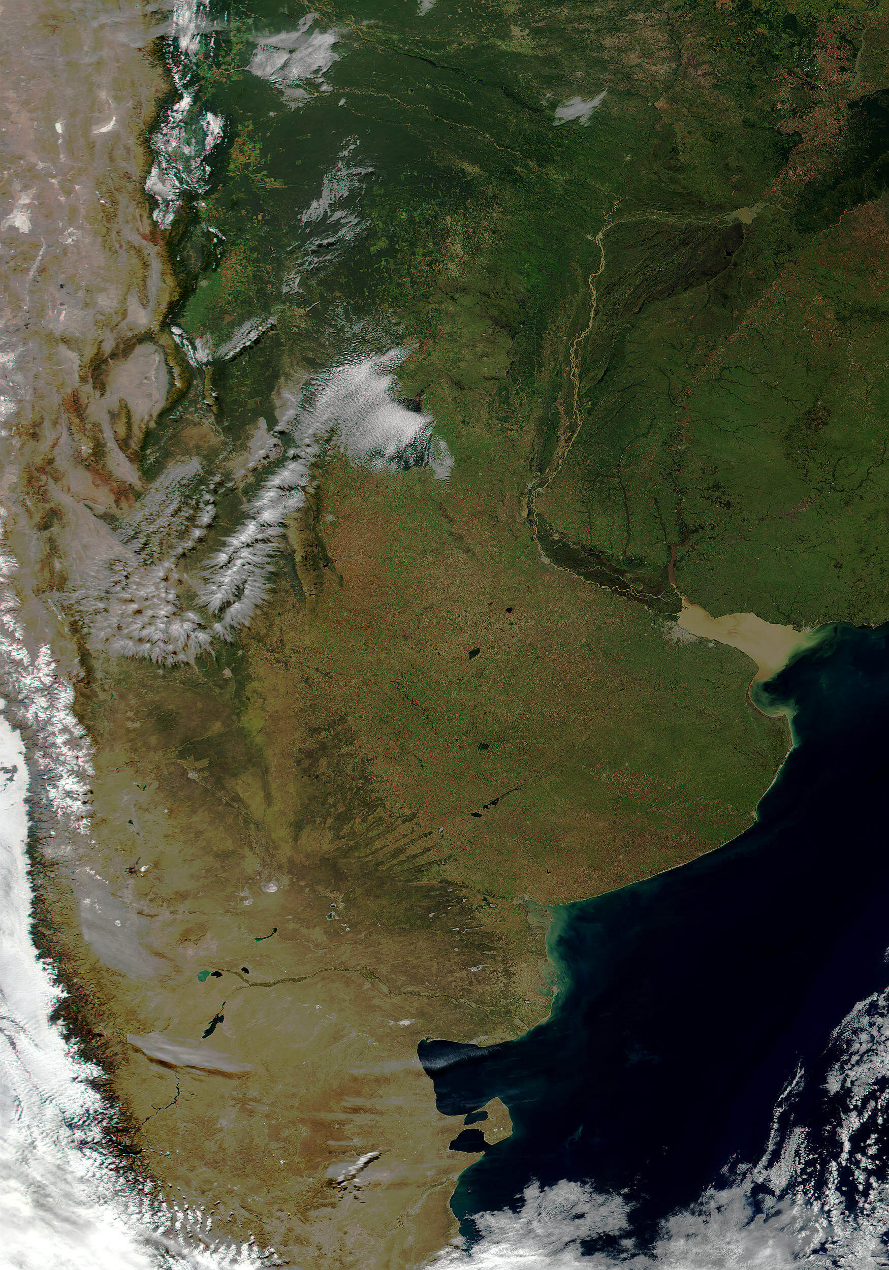
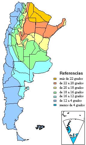
Map of Argentina

A collection Map of Argentina