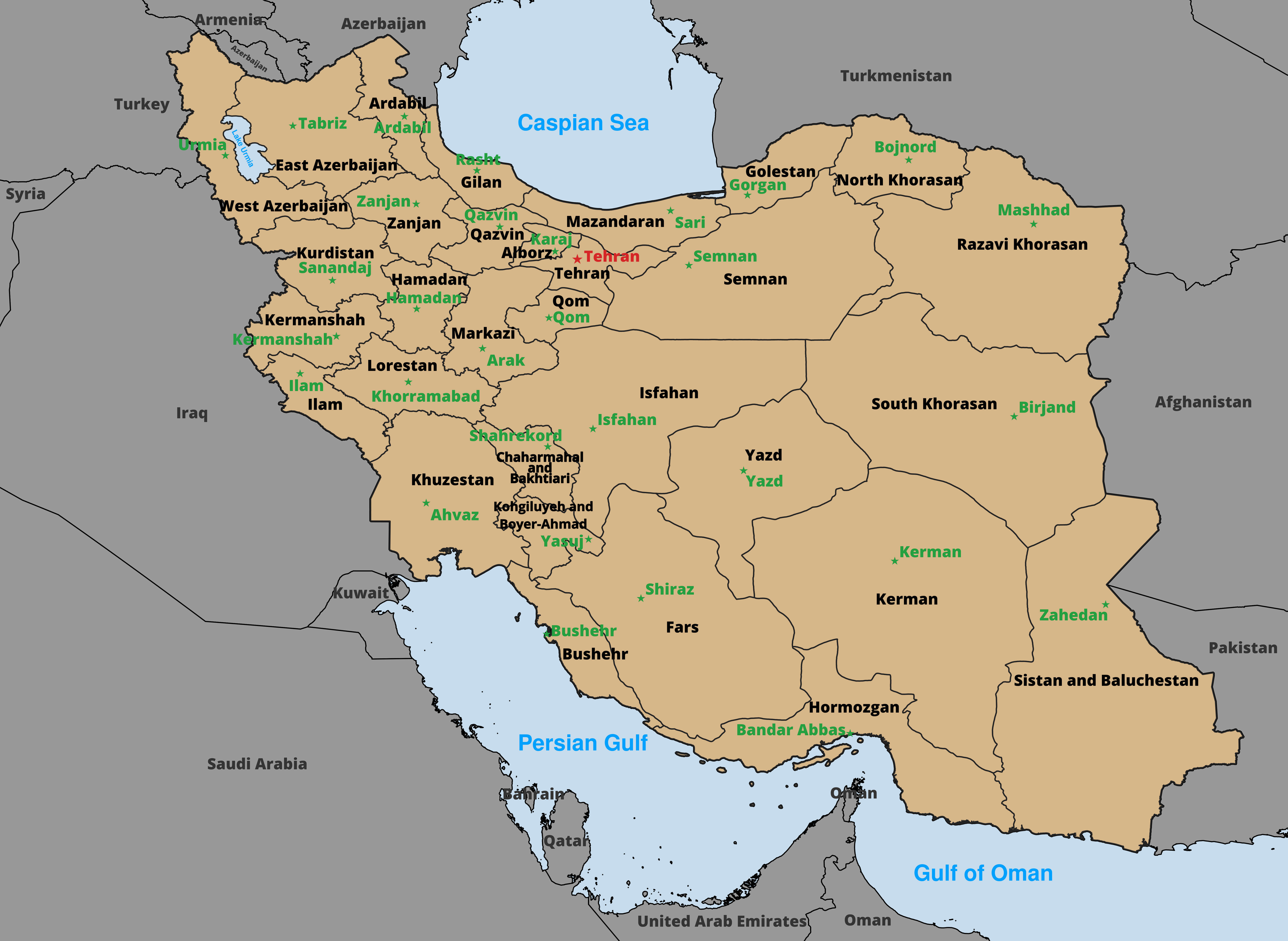
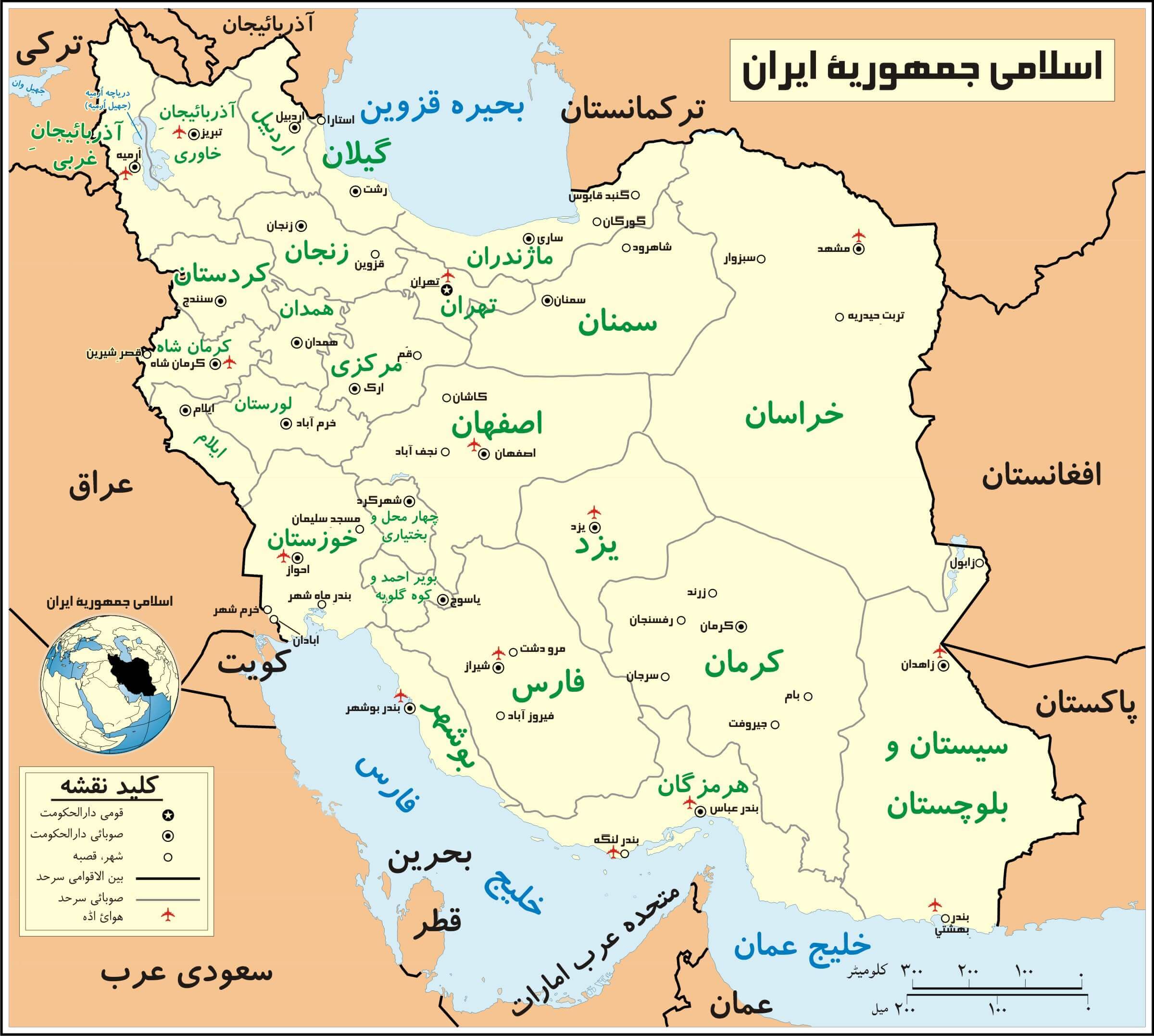
Political Map of Iran with Provinces and Capitals
Explore a detailed Iran Political Map highlighting the country's provincial boundaries, administrative divisions, and capital cities. This map clearly displays all 31 provinces, major urban centers such as Tehran, Isfahan, Mashhad, and Shiraz, and Iran's international borders with neighboring countries. Ideal for educational, geographic, and reference purposes, it provides a clear overview of Iran's political structure and regional organization.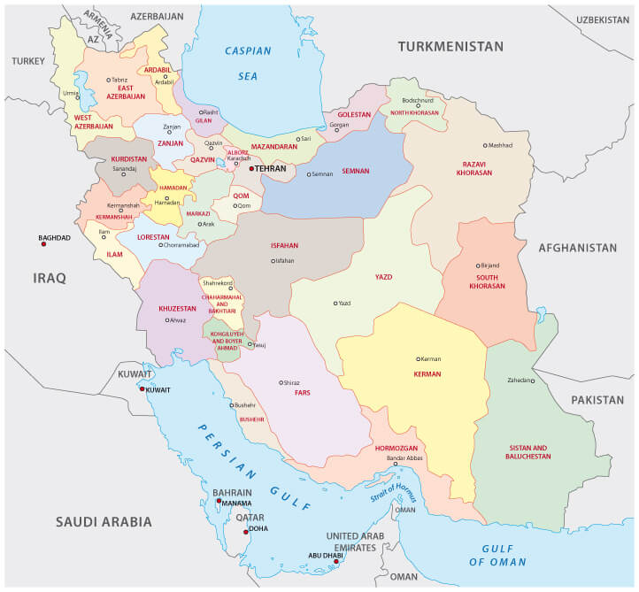
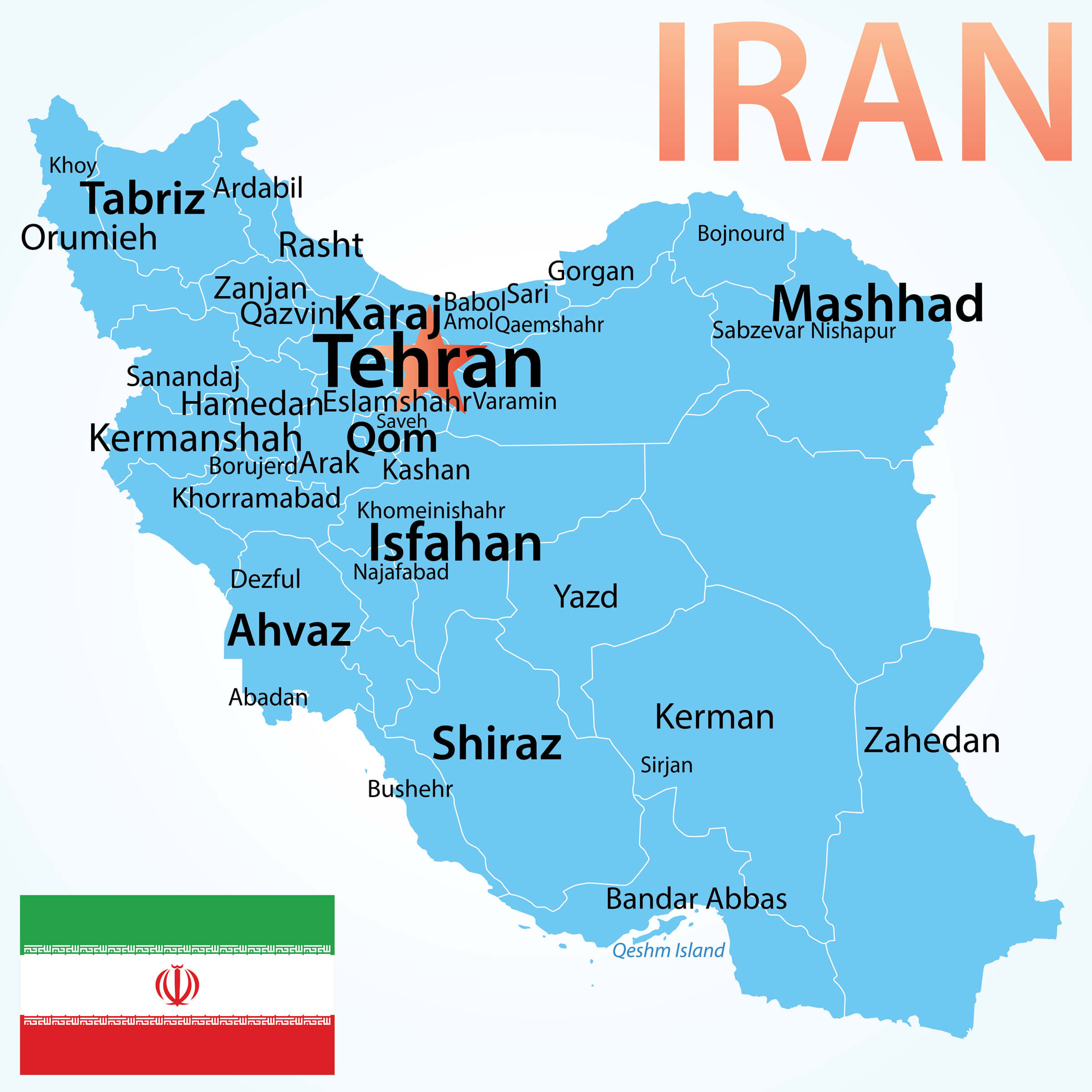
Iran largest political cities map
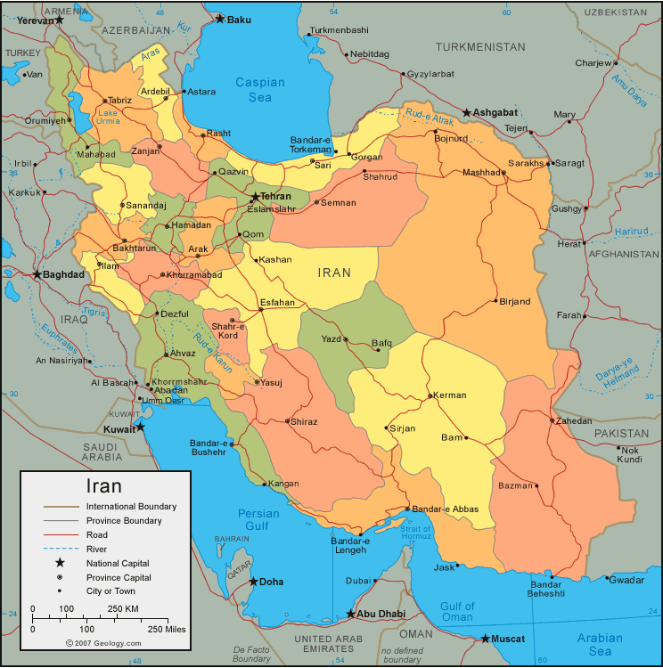
Political map of Iran
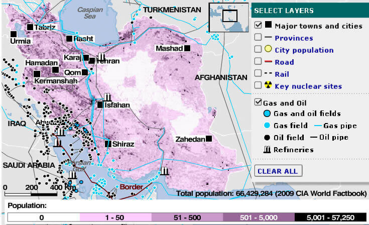
Gas oil map of Iran
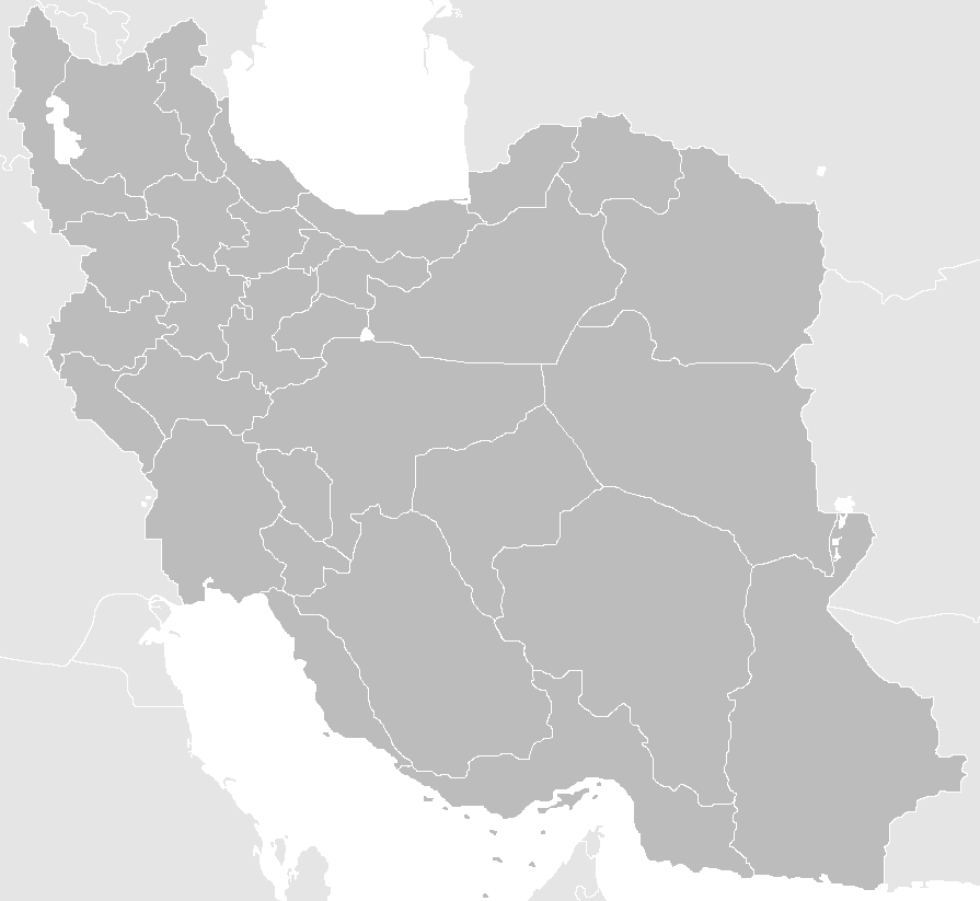
Gray blank map of Iran
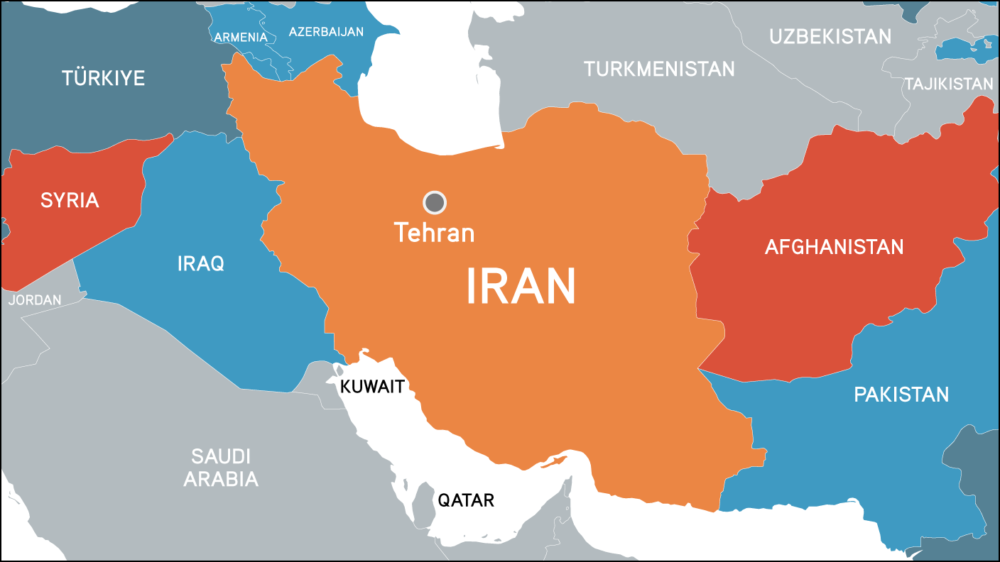
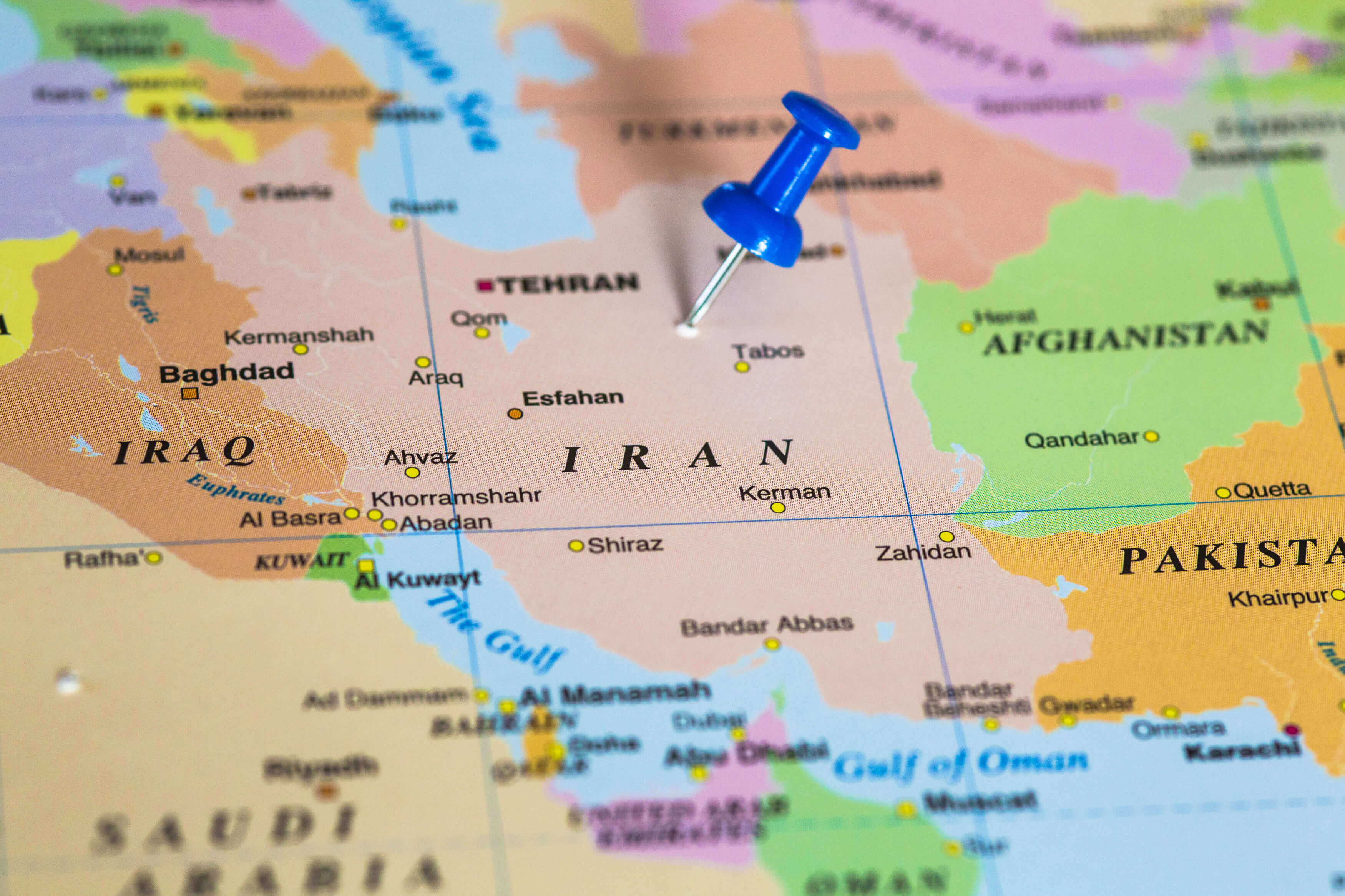
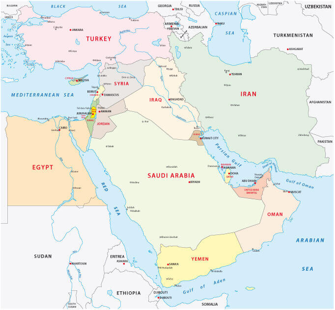
Iran and neighbouring countries map
Iran Administrative Map with Provinces and Borders
Iran climate map

Iran diplomatic relations map

Iran ethnic groups map with regions in regions
Iran israel middle east countries map
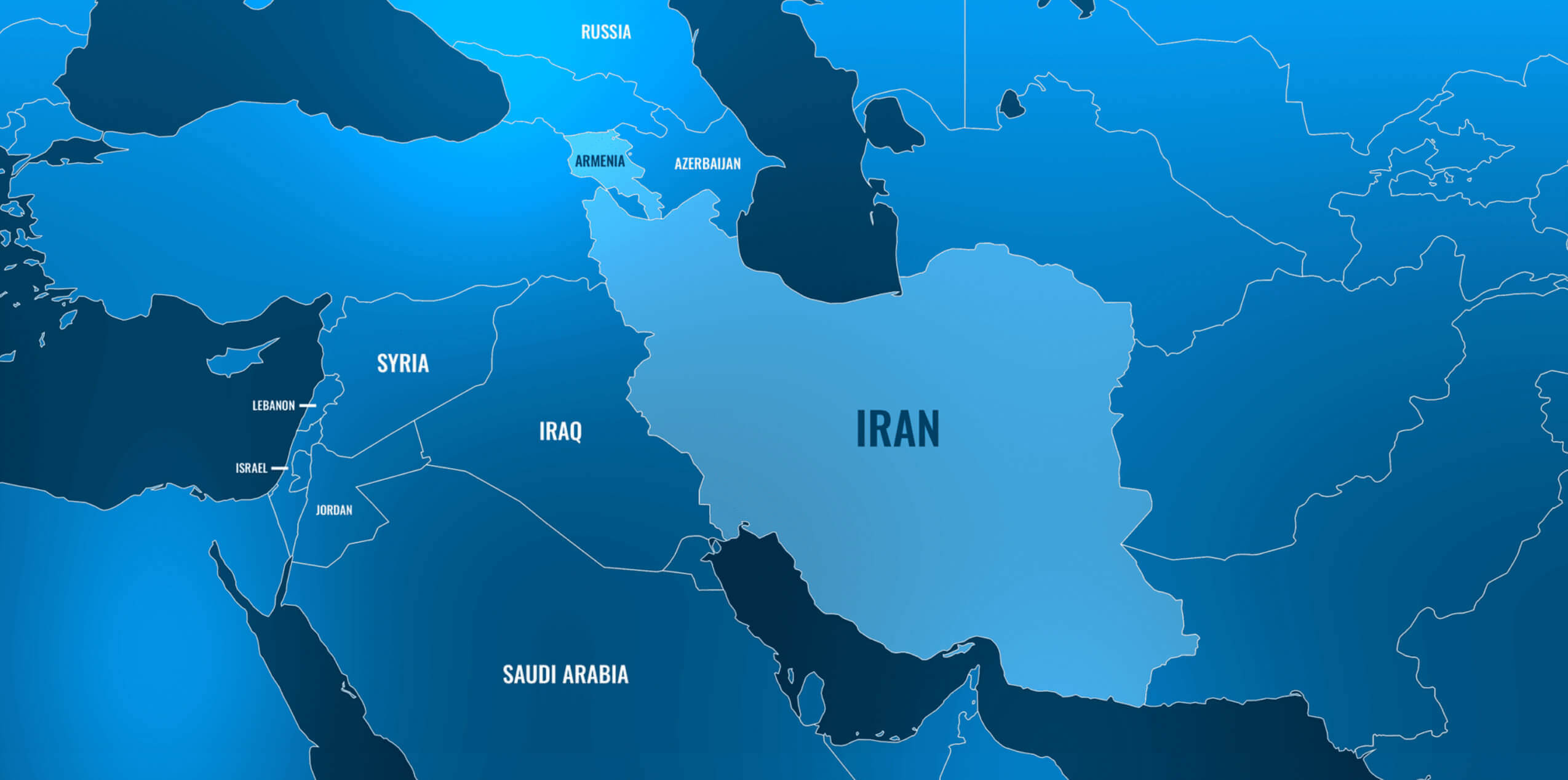
Iran map with iraq gulf countries
Iran map with muslim countries
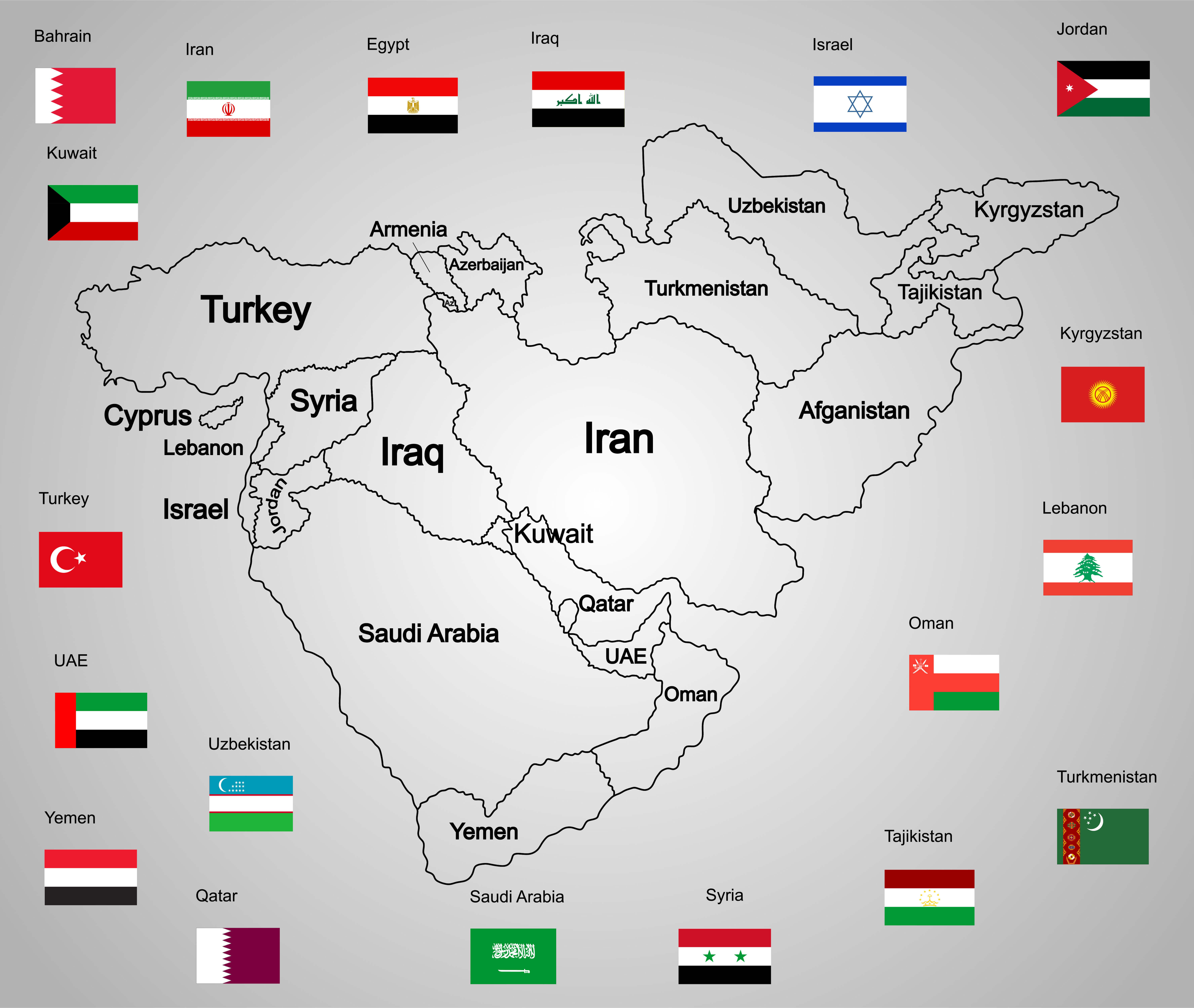
Iran middle east political map
Iran political map with provinces and cities

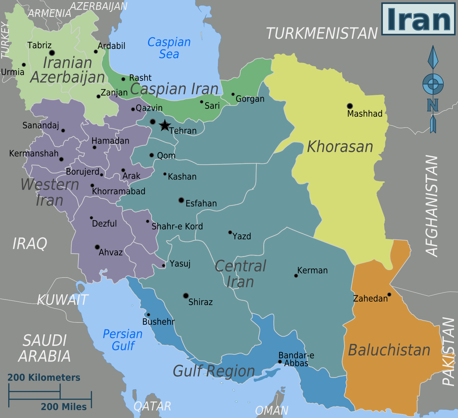
Map of provinces and capitals of Iran
Persian Iran map
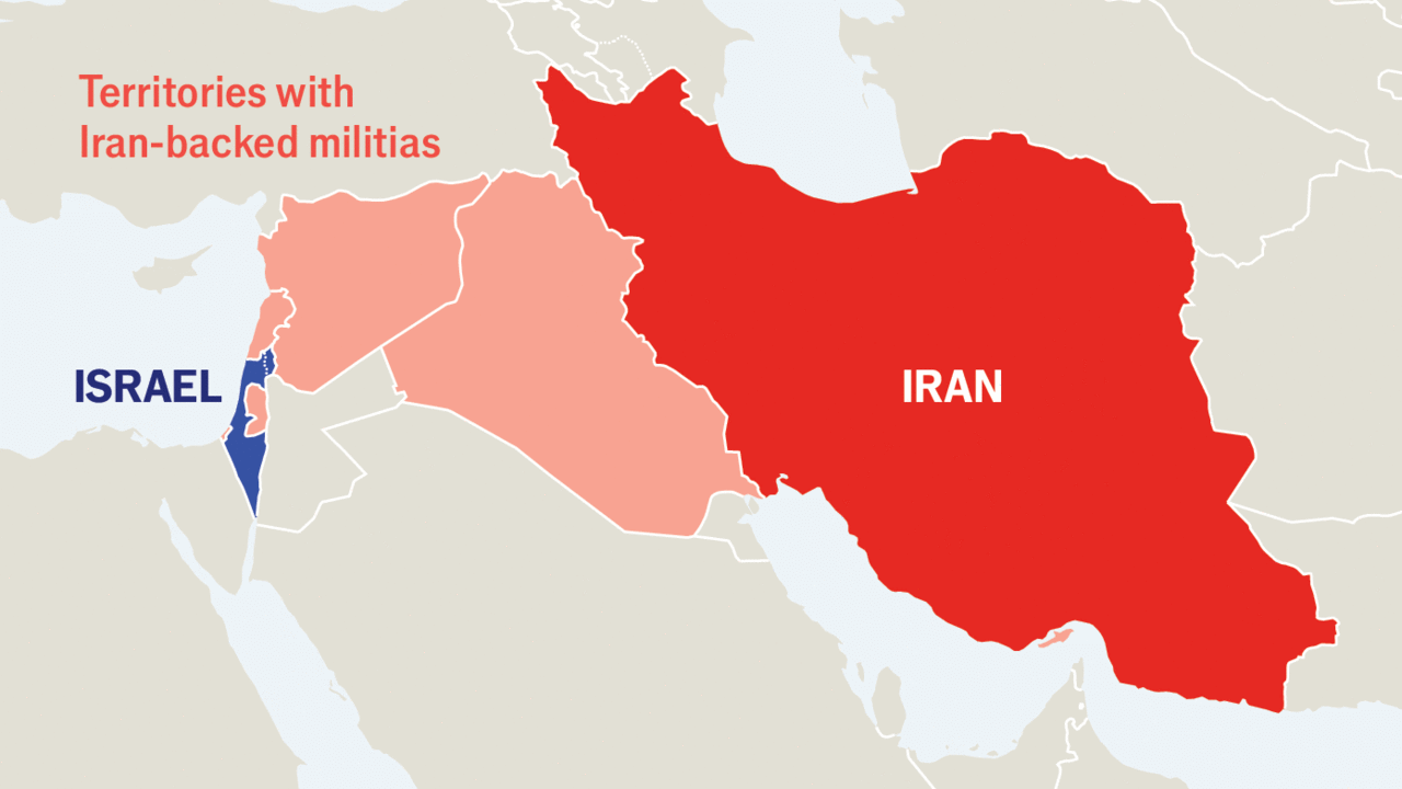
Territories with Iran backed militas map
Feel free to explore these pages as well:
Copyright Turkey Travel Guide - 2005 - 2026. All rights reserved. Privacy Policy | Disclaimer