Oslo Map
Navigate Oslo Map, Oslo city map, satellite images of Oslo, Oslo towns map, political map of Oslo, driving directions and traffic maps.
For more >> Norway Maps
For more info >> Norway
Oslo Map - Political, Physical, Touristic City Maps and Satellite Images
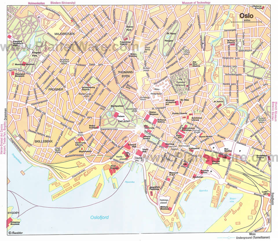
CITY CENTER MAP OF OSLO
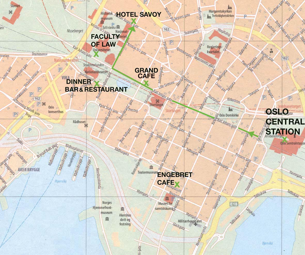
Where is Located Norway in Europe, Is Norway Member of NATO and EU?
Please subscribe on "World Guide" channnel on Youtube at youtube.com/c/WorldGuide
A Collection of Oslo and Satellite Images
CITY CENTER MAP OF OSLO

MAP OF OSLO.
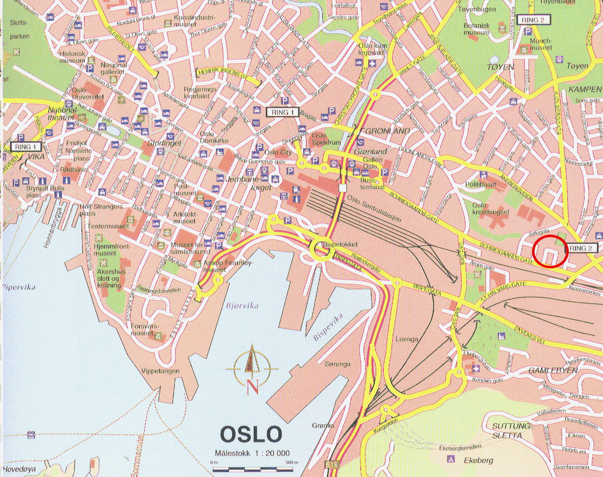
MAP OF OSLO
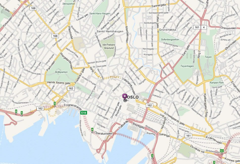
NORWAY MAP OSLO
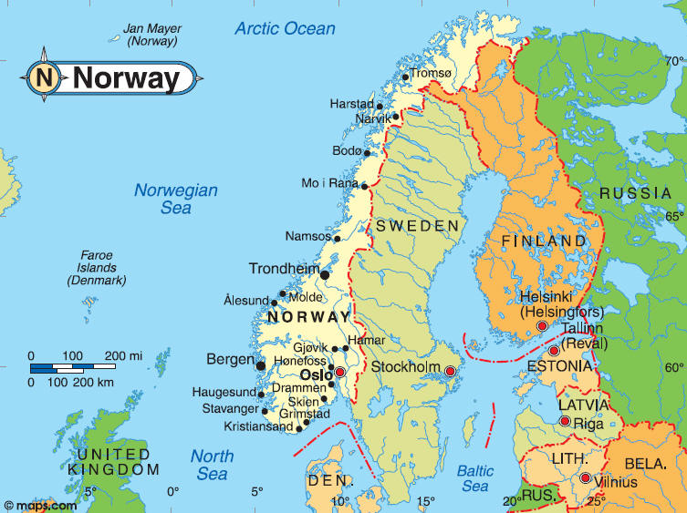
OSLO MAP
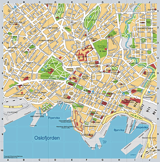
OSLO MAP
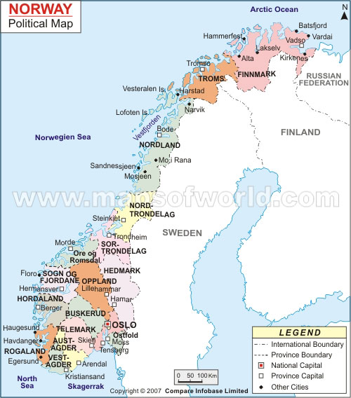
OSLO NORWAY
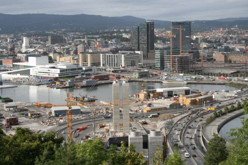
OSLO PORT
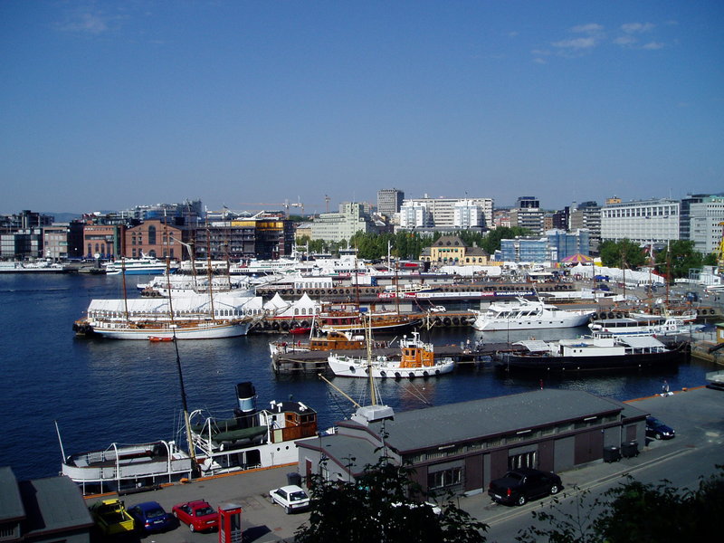
OSLO CITY MAP
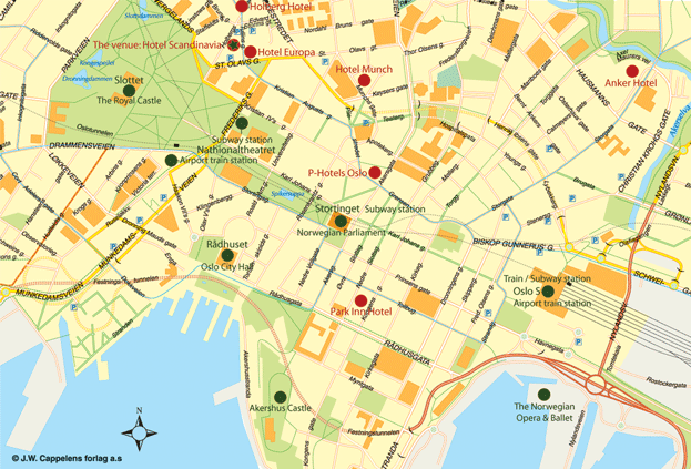
OSLO MAP
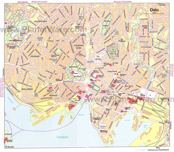
OSLO NORWAY
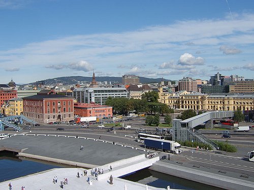
OSLO TRANSPORTAION MAP
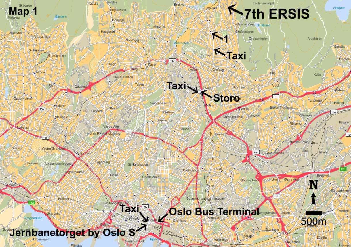
OSLO CITY MAP
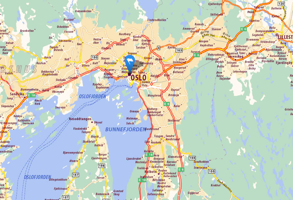
OSLO CITY MAP NORWAY
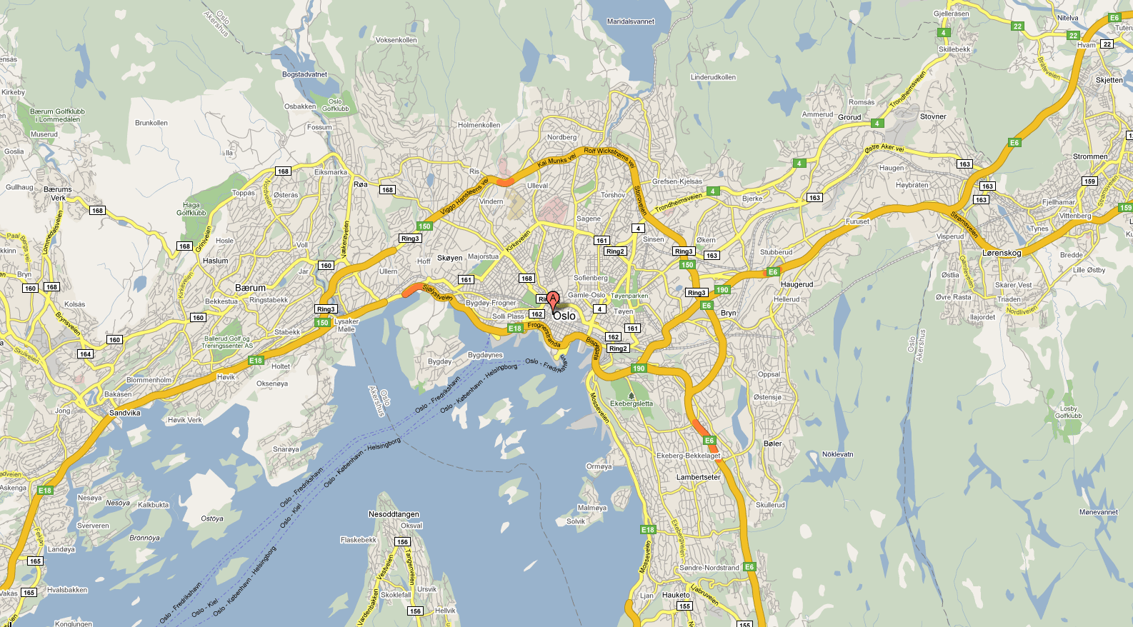
OSLO DOWNTOWN MAP
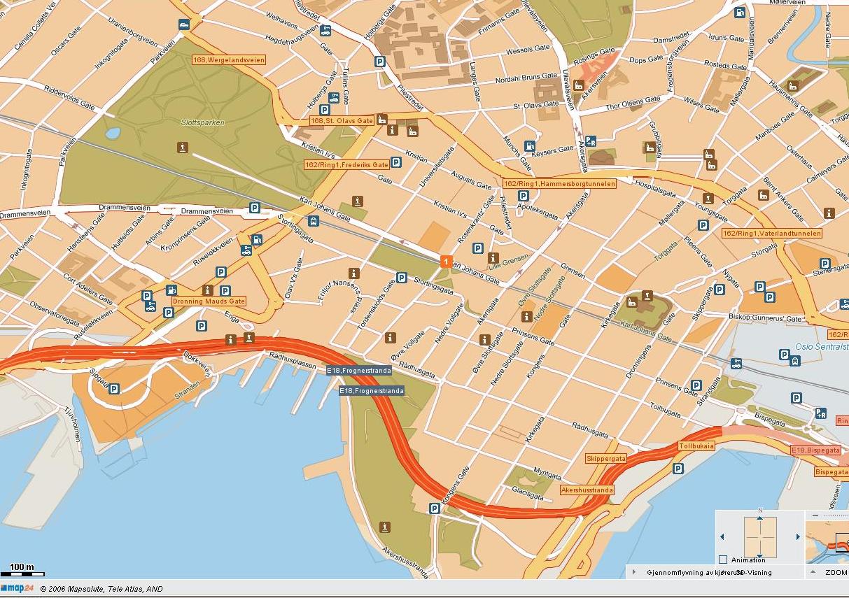
OSLO MAP
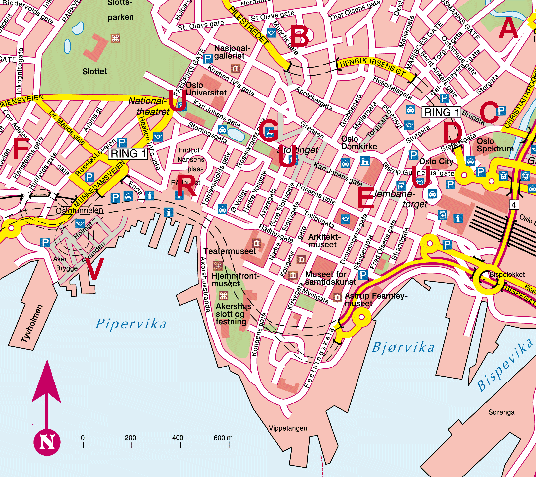
OSLO MAP
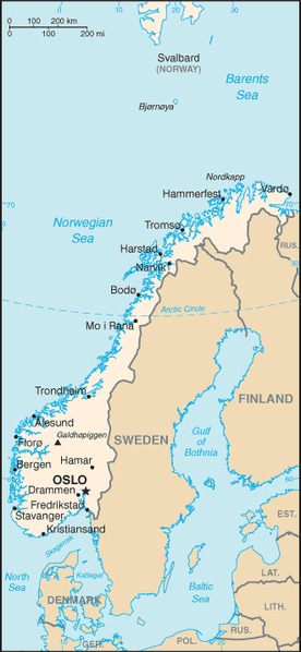
OSLO MAP NORWAY
VIGELAND PARK OSLO

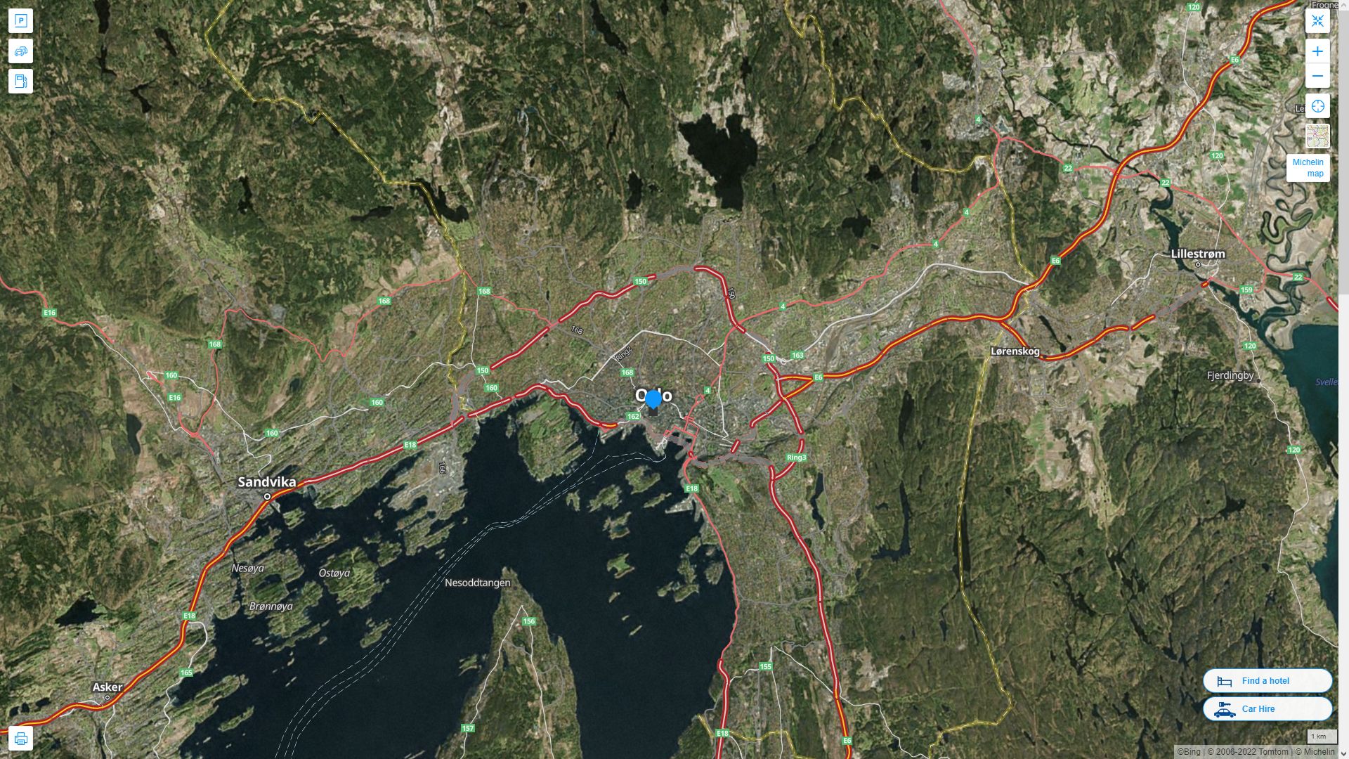
OSLO HIGHWAY AND ROAD MAP WITH SATELLITE VIEW
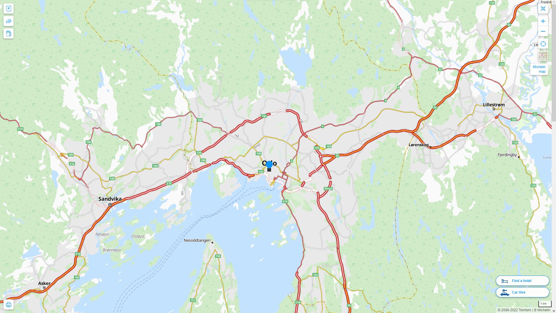
OSLO HIGHWAY AND ROAD MAP
- Head of Performance Marketing
- Head of SEO
- Linkedin Profile: linkedin.com/in/arifcagrici
See Also
Oslo Google Map, Street Views, Maps Directions, Satellite Images
turkey-visit.com offers a collection of Oslo map, google map, Oslo atlas, political, physical, satellite view, country infos, cities map and more map of Oslo.
- Head of Performance Marketing
- Head of SEO
- Linkedin Profile: linkedin.com/in/arifcagrici
Largest Cities' Map of Norway
Oslo Map Bergen Map Trondheim Map Stavanger Map Baerum Map Kristiansand Map Fredrikstad Map Tromso Map Sandnes Map Skien Map Drammen Map Sarpsborg Map Bodo Map Sandefjord Map Alesund Map Larvik Map Arendal Map Tonsberg Map Porsgrunn Map Haugesund Map Hamar Map Moss Map Halden Map Gjovik Map Lillehammer Map Horten Map Molde Map Kongsberg Map Harstad Map Kristiansund Map Steinkjer Map Grimstad Map Narvik Map Kongsvinger Map Honefoss Map Mandal Map Egersund Map Namsos Map Notodden Map Holmestrand Map Farsund Map Hammerfest Map Flekkefjord Map Floro Map Risor Map Vadso Map Vardo MapCopyright Turkey Travel Guide - 2005 - 2025. All rights reserved. Privacy Policy | Disclaimer

