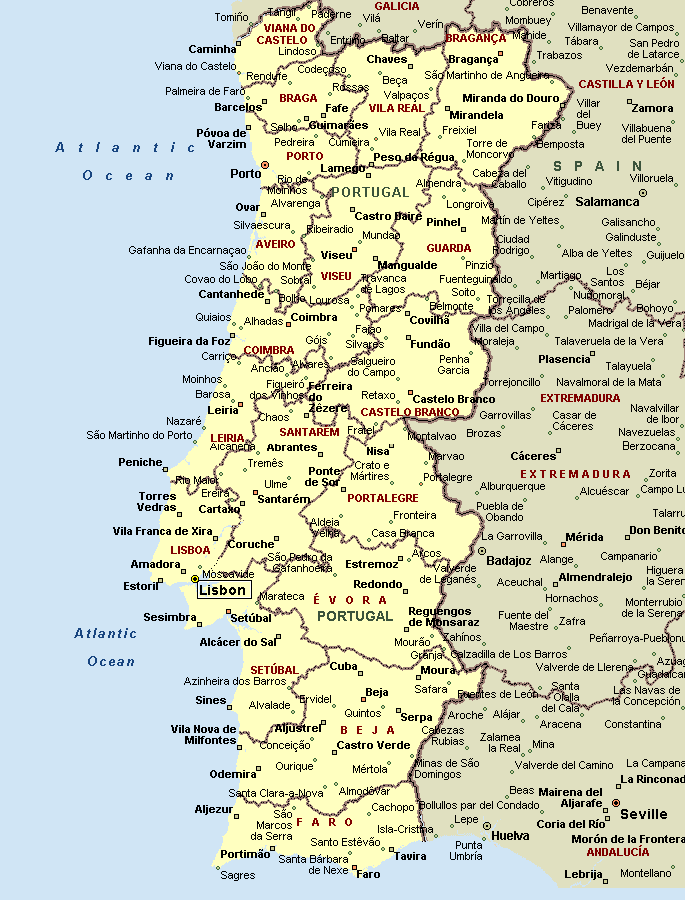
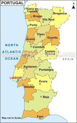
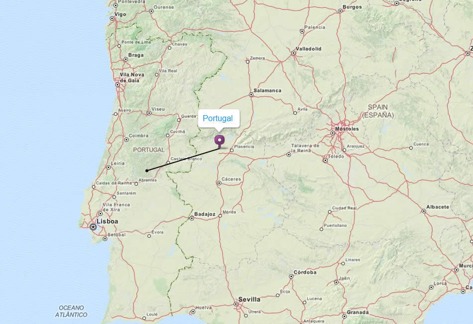
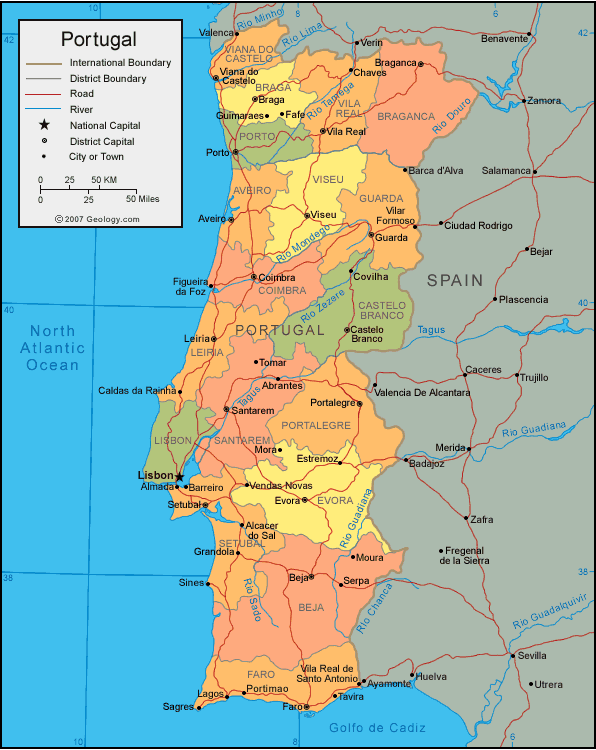
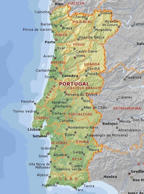
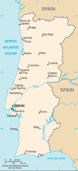
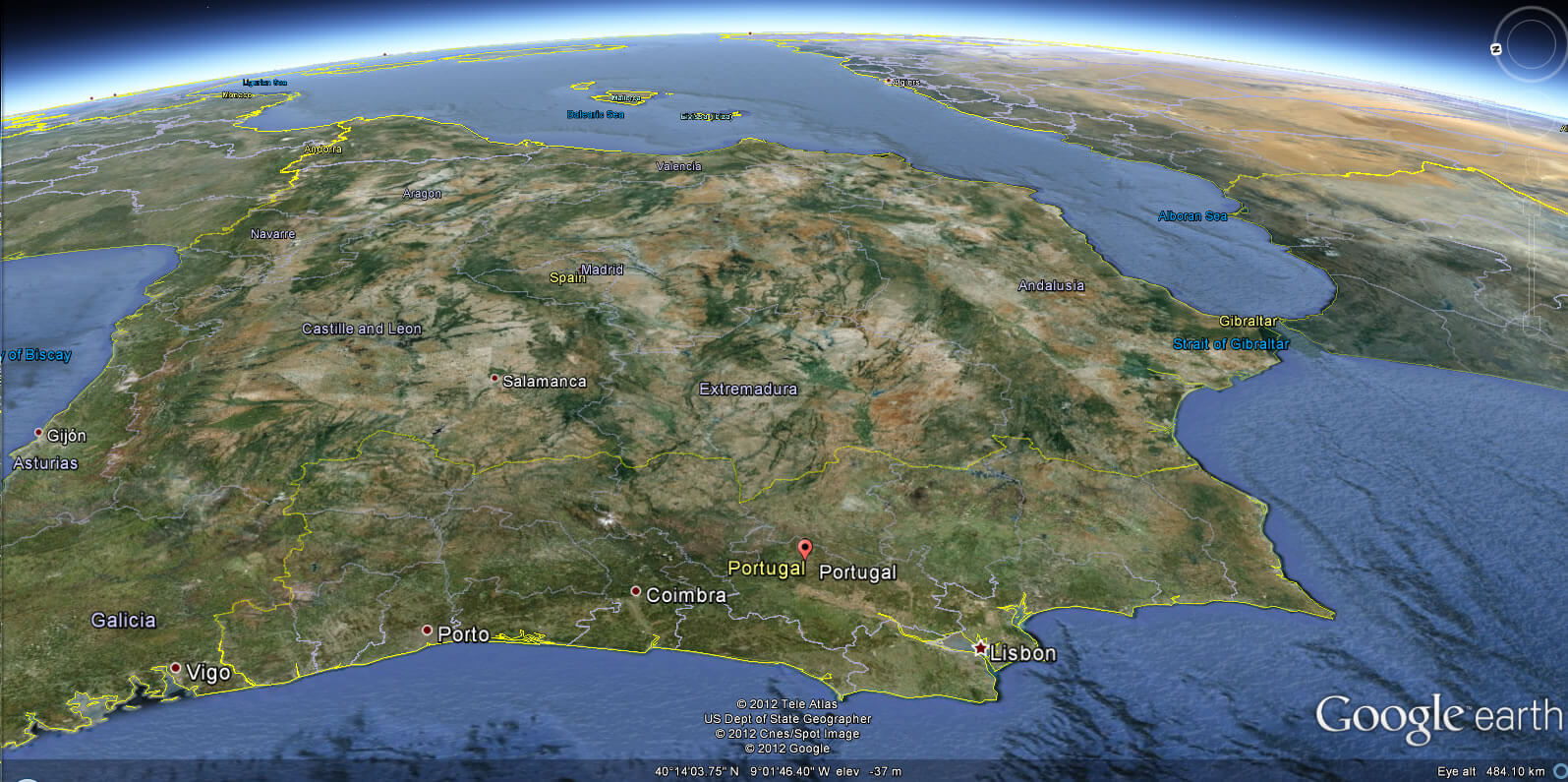
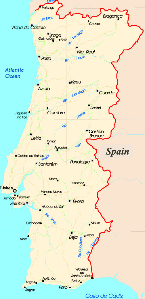
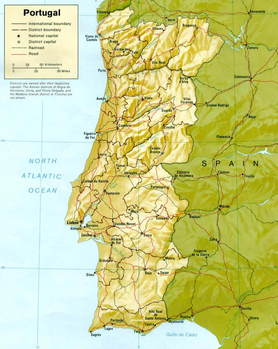
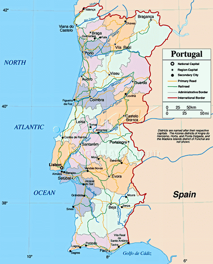
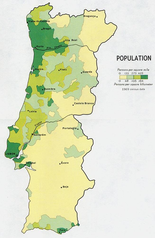
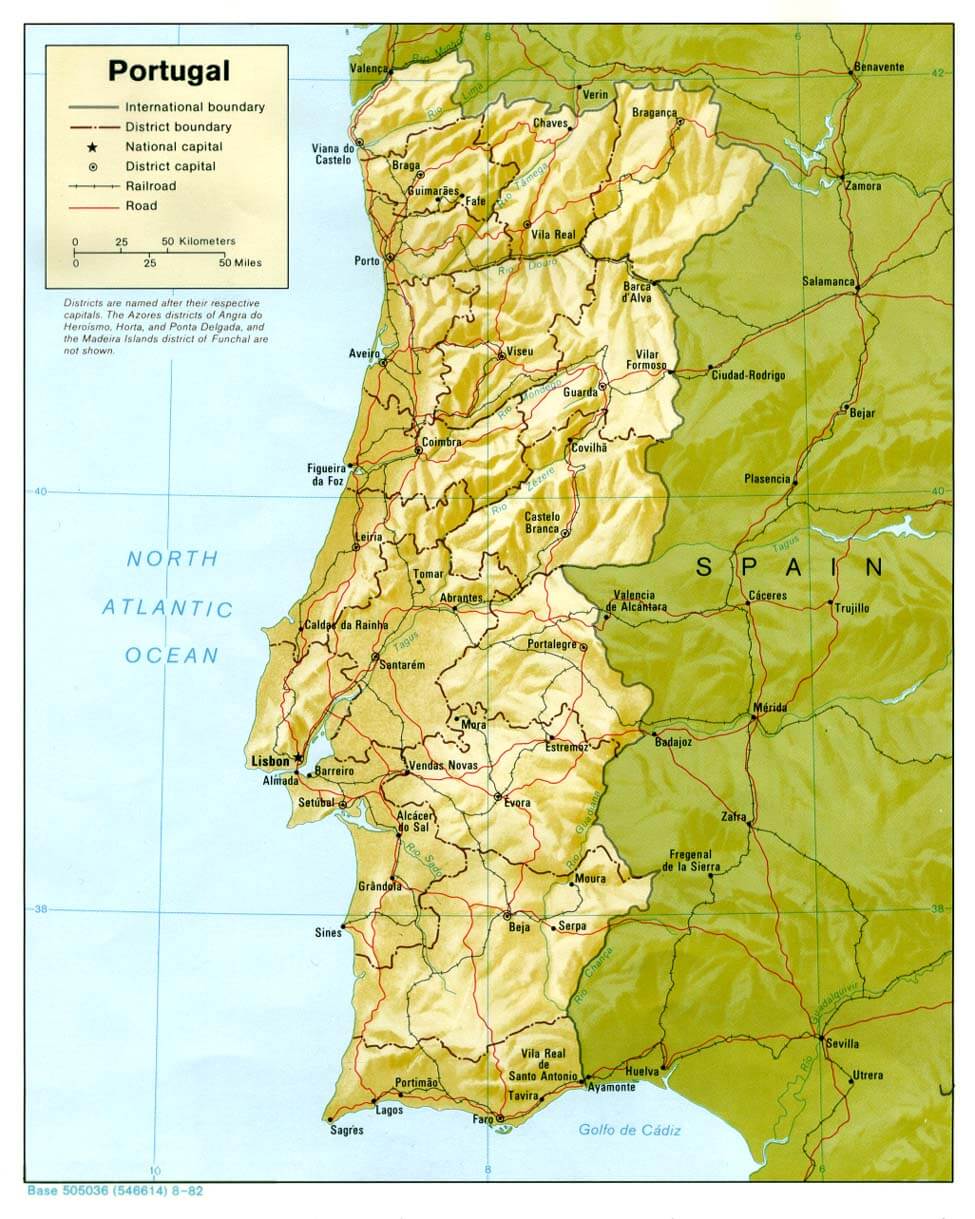
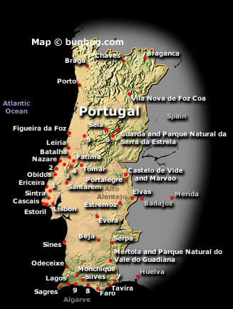
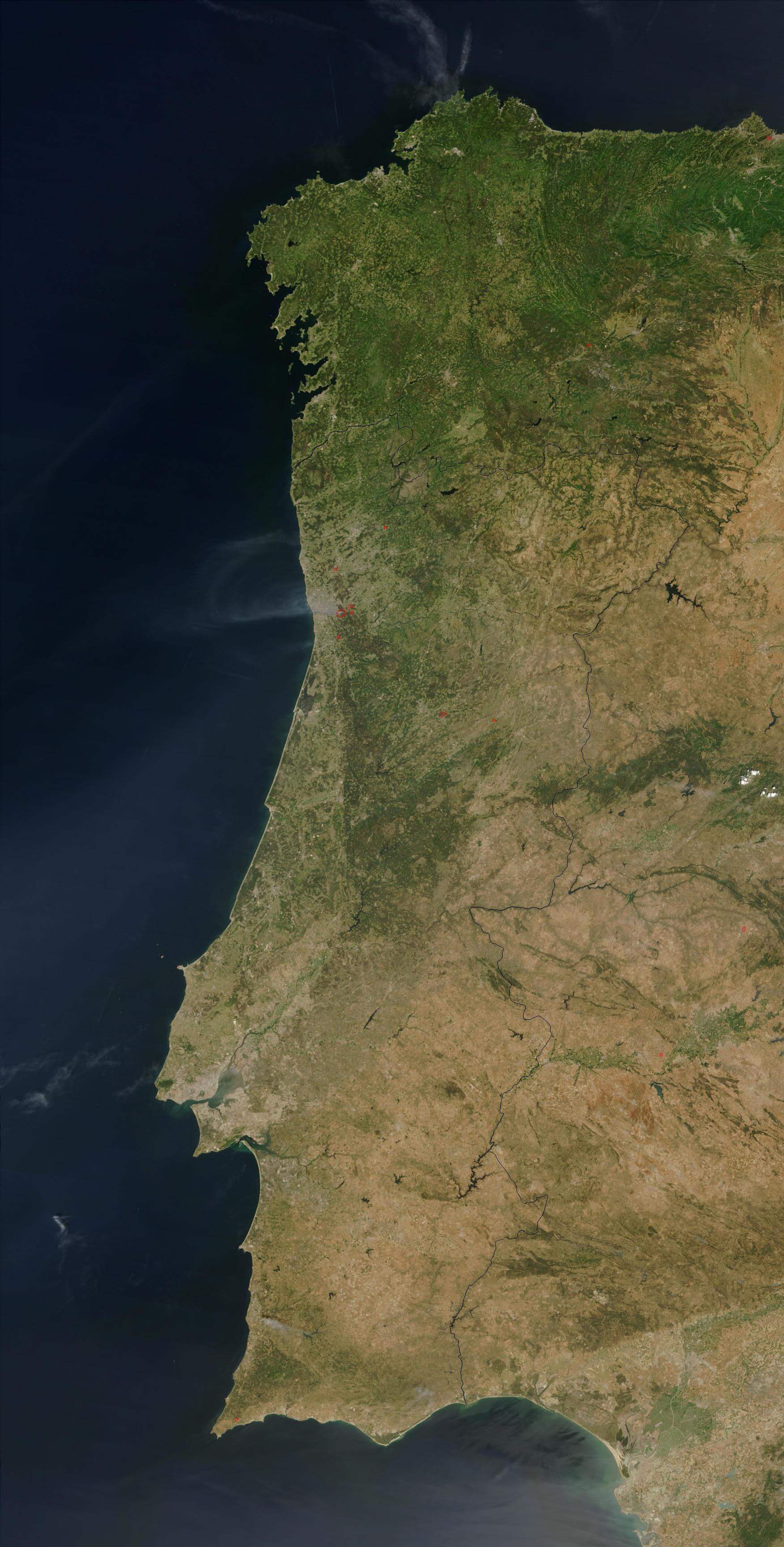
Navigate map of Portugal, Portugal country maps, satellite images of the Portugal, Portugal largest city maps, political, physical map of Portugal, driving directions and traffic maps.
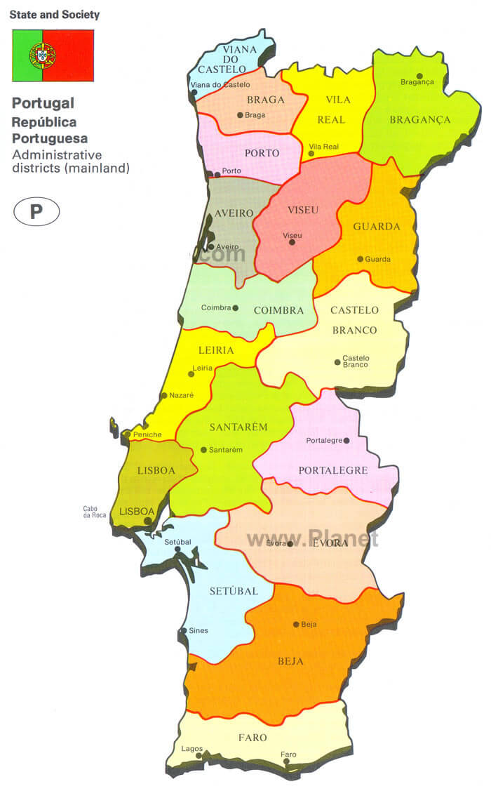
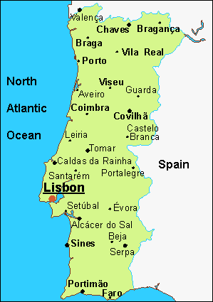
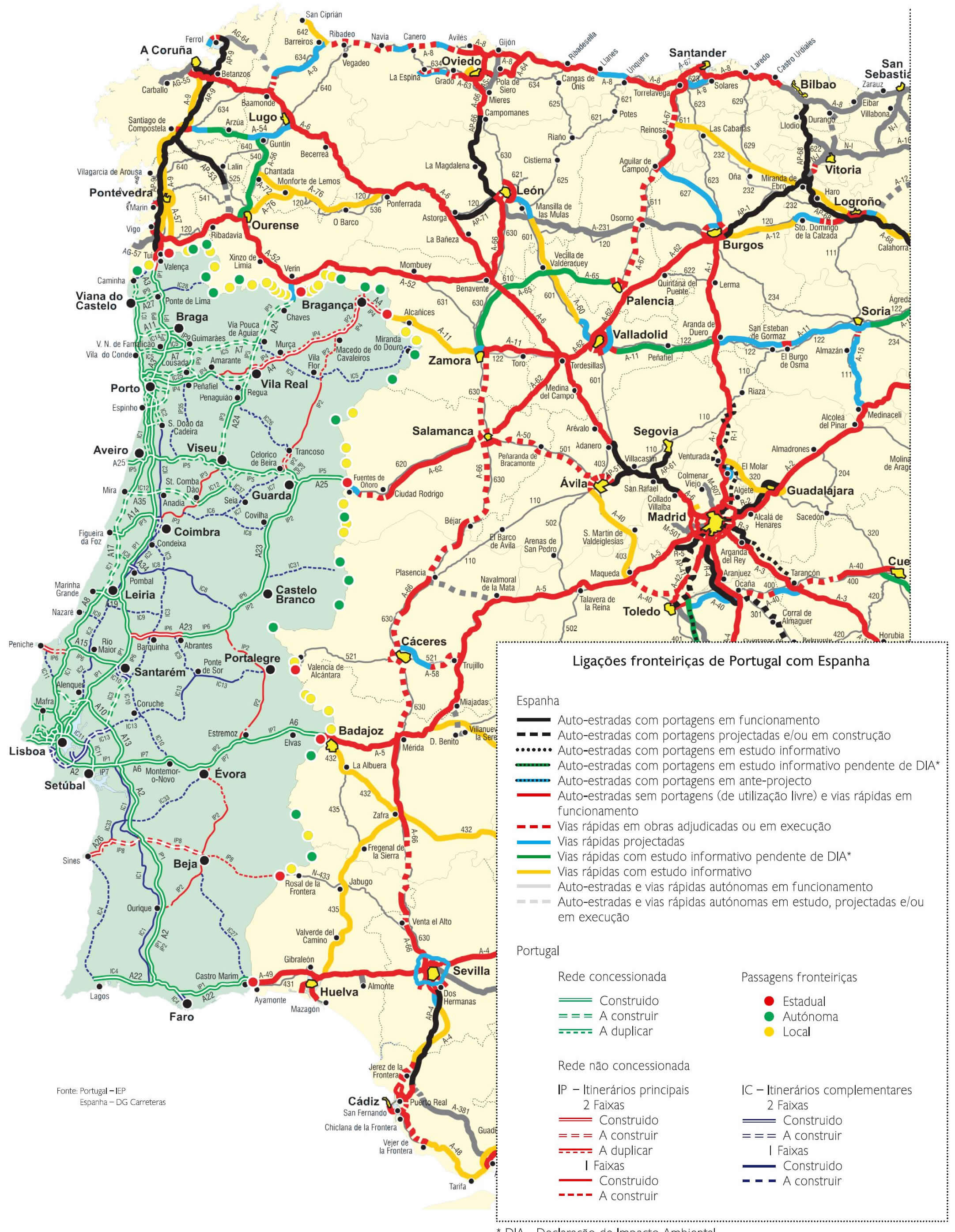
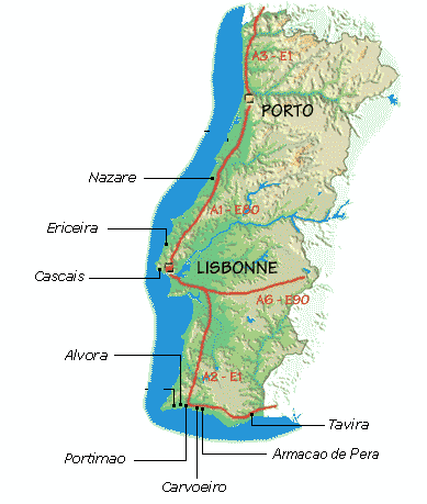
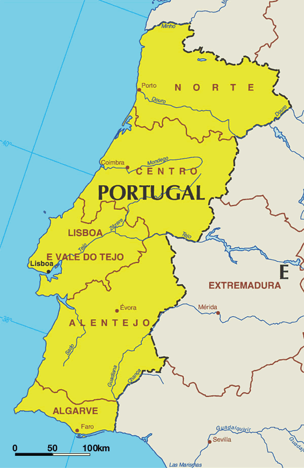
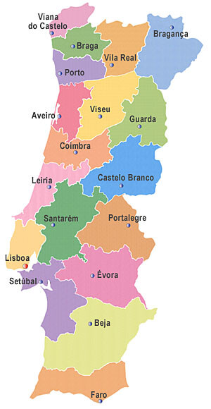
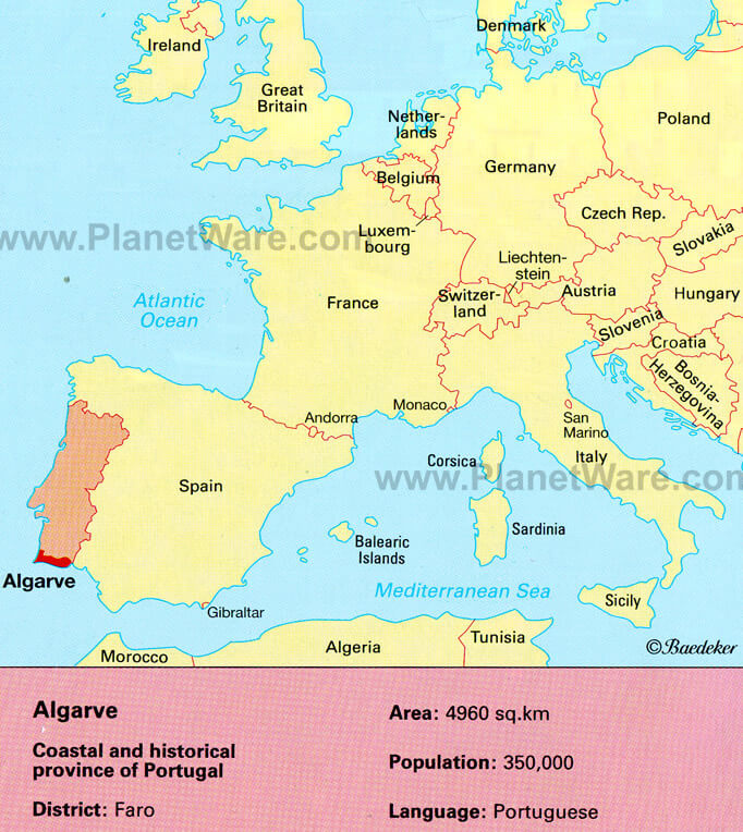
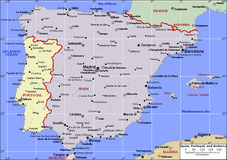
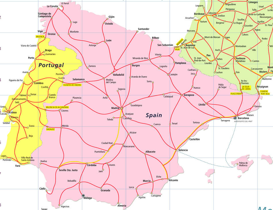
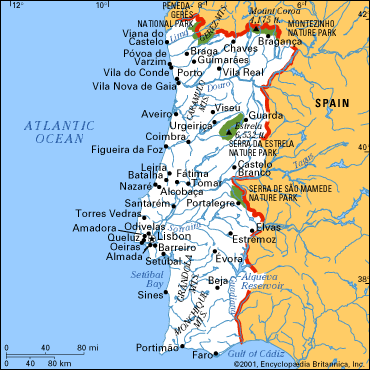
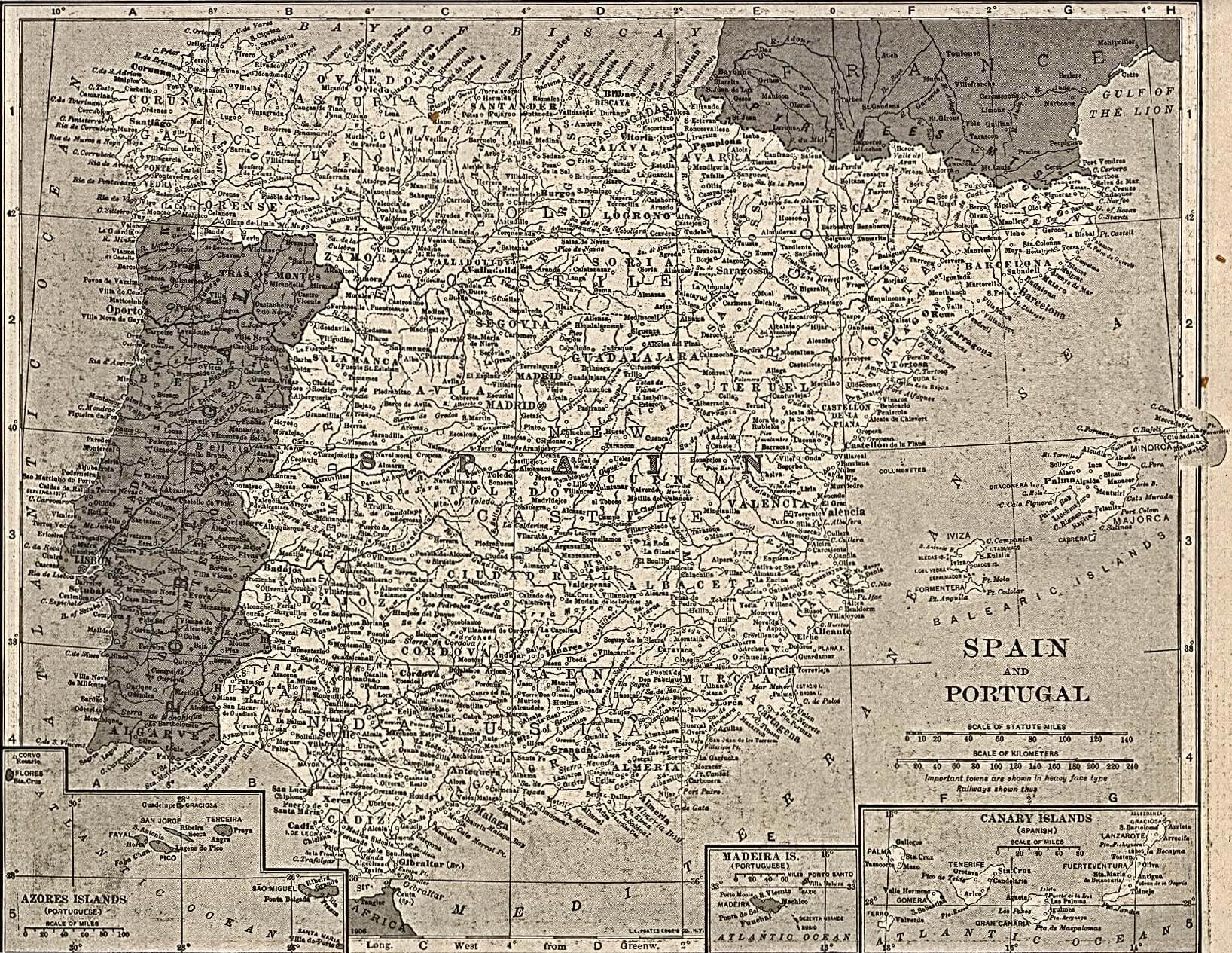
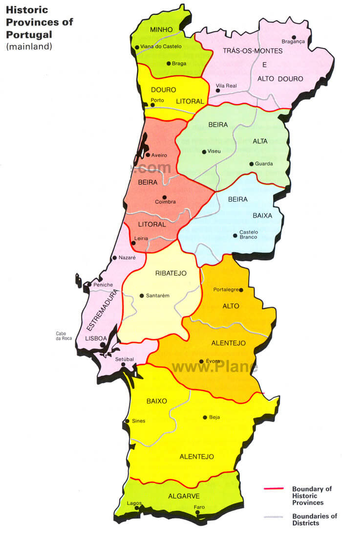
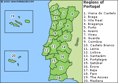
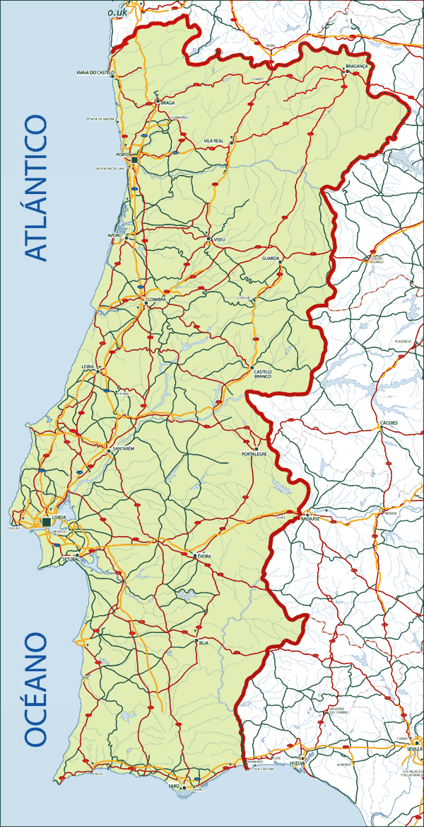
Portugal Map
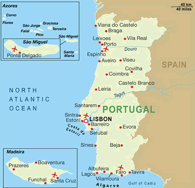
Map of Portugal
Navigate map of Portugal, Portugal country maps, satellite images of the Portugal, Portugal largest city maps, political, physical map of Portugal, driving directions and traffic maps.
Copyright Turkey Travel Guide - 2005 - 2026. All rights reserved. Privacy Policy | Disclaimer