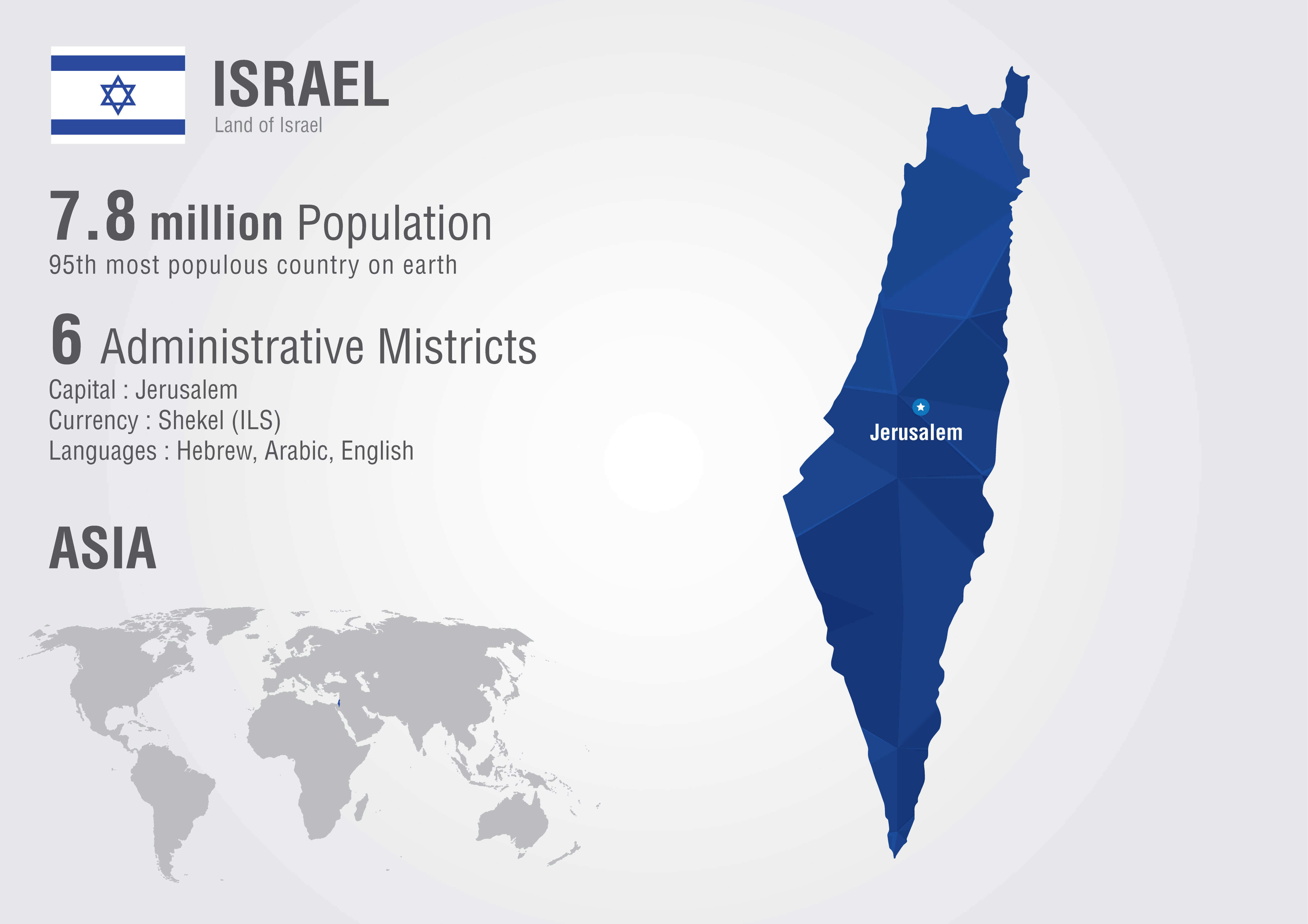
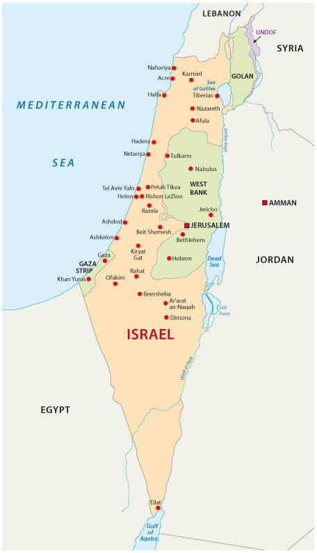
Israel Map
Navigate Israel map, satellite images of the Israel, states, largest cities, political map, capitals and physical maps.
- Capital : Jerusalem
- Population : 7,968,300
- GDP : $243.654 billion (41st)
- Per Capita : $32,351 (27th)
- Calling Code : +972
- Jobless Rate : 6.90%
- Time Zone : +2
A Collection of Israel Maps
Israel Satellite Map
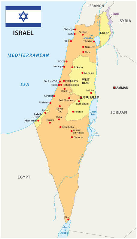
Israel Political Map

Political Map of Israel
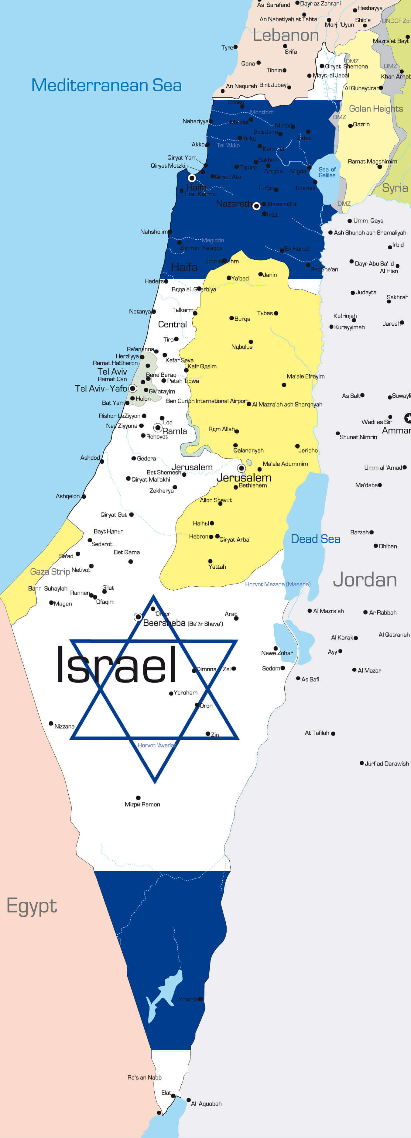
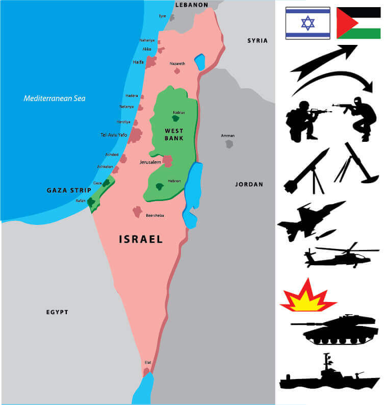
Israel Palestine Unfolded Map
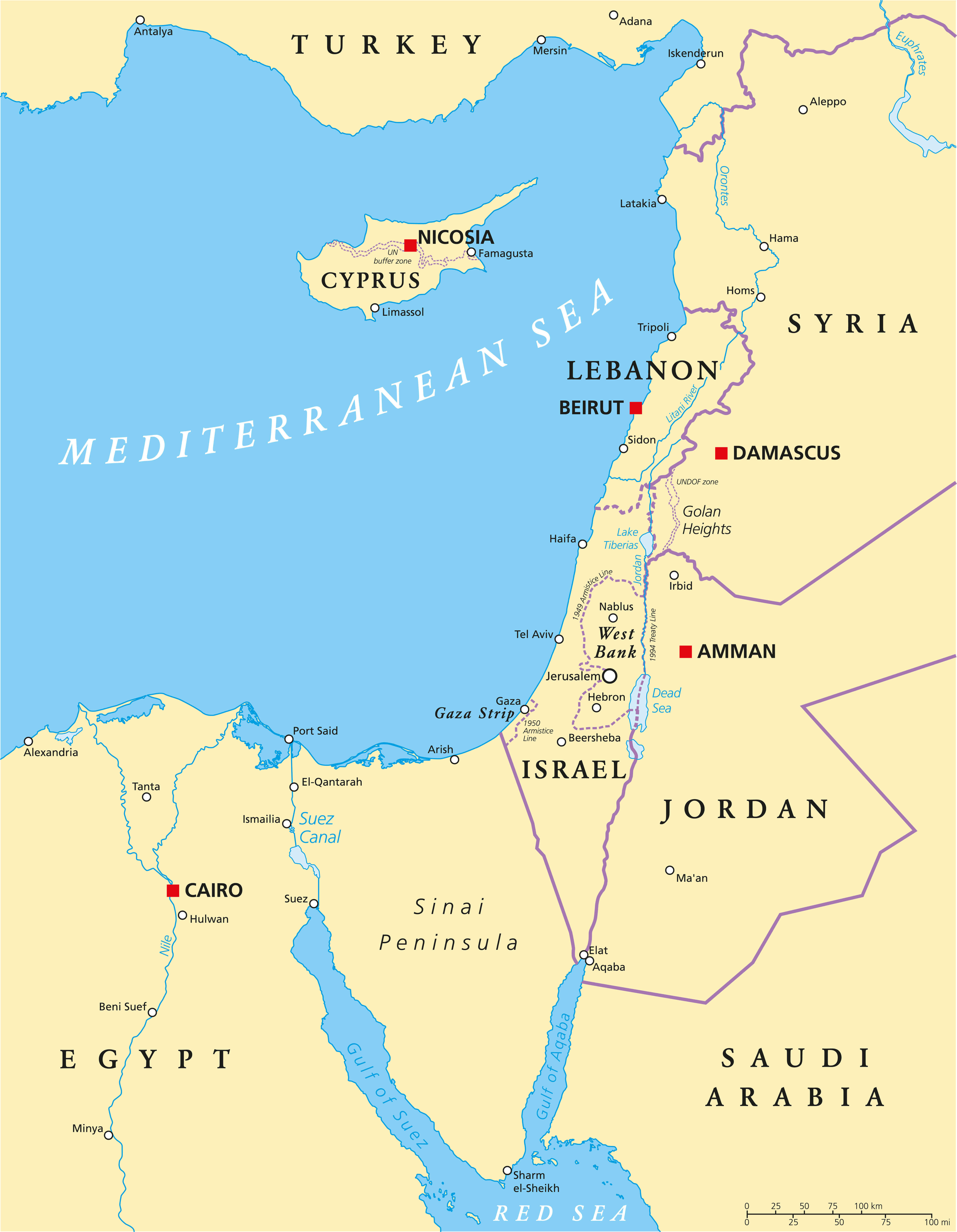
Israel Eastern Mediterranean Political Map
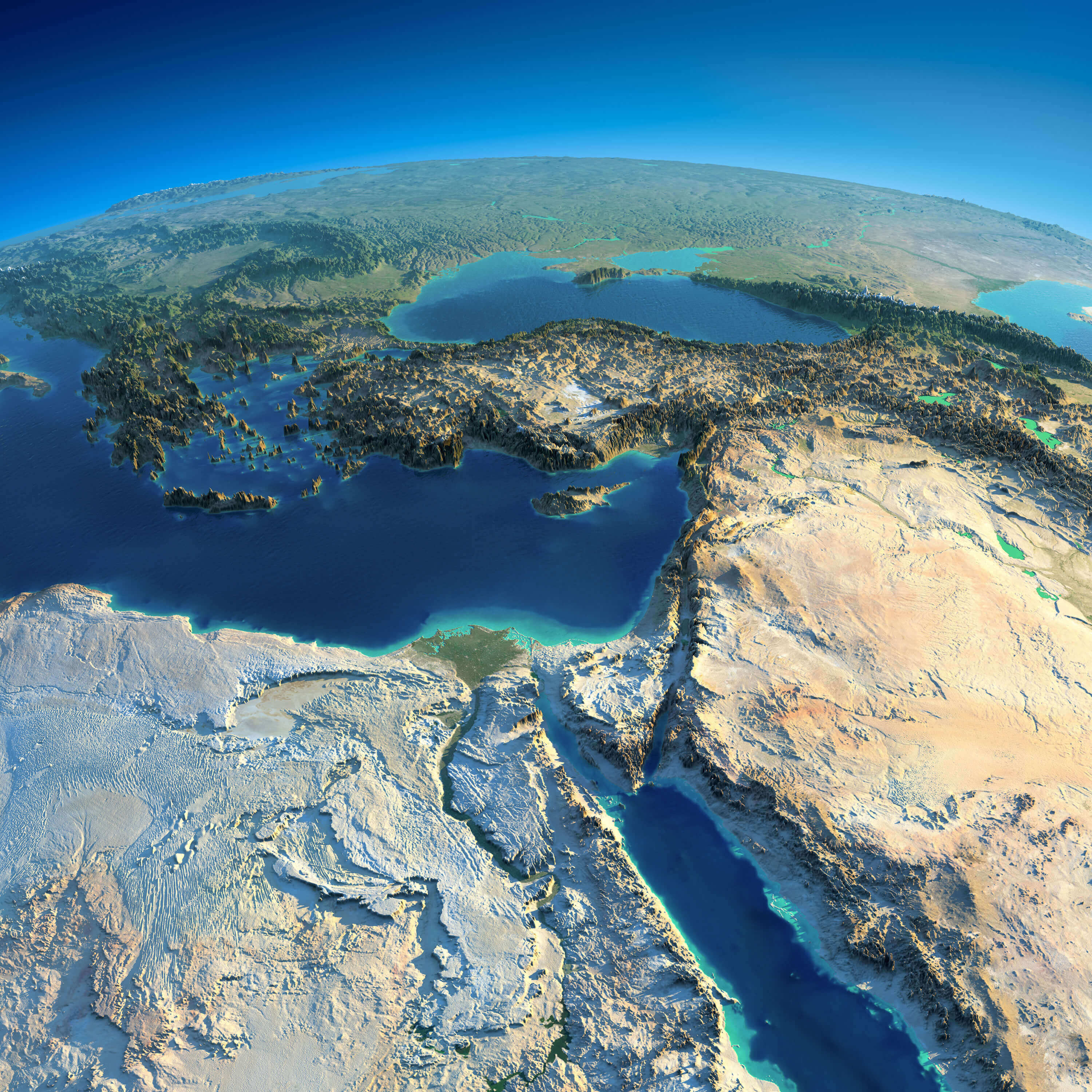
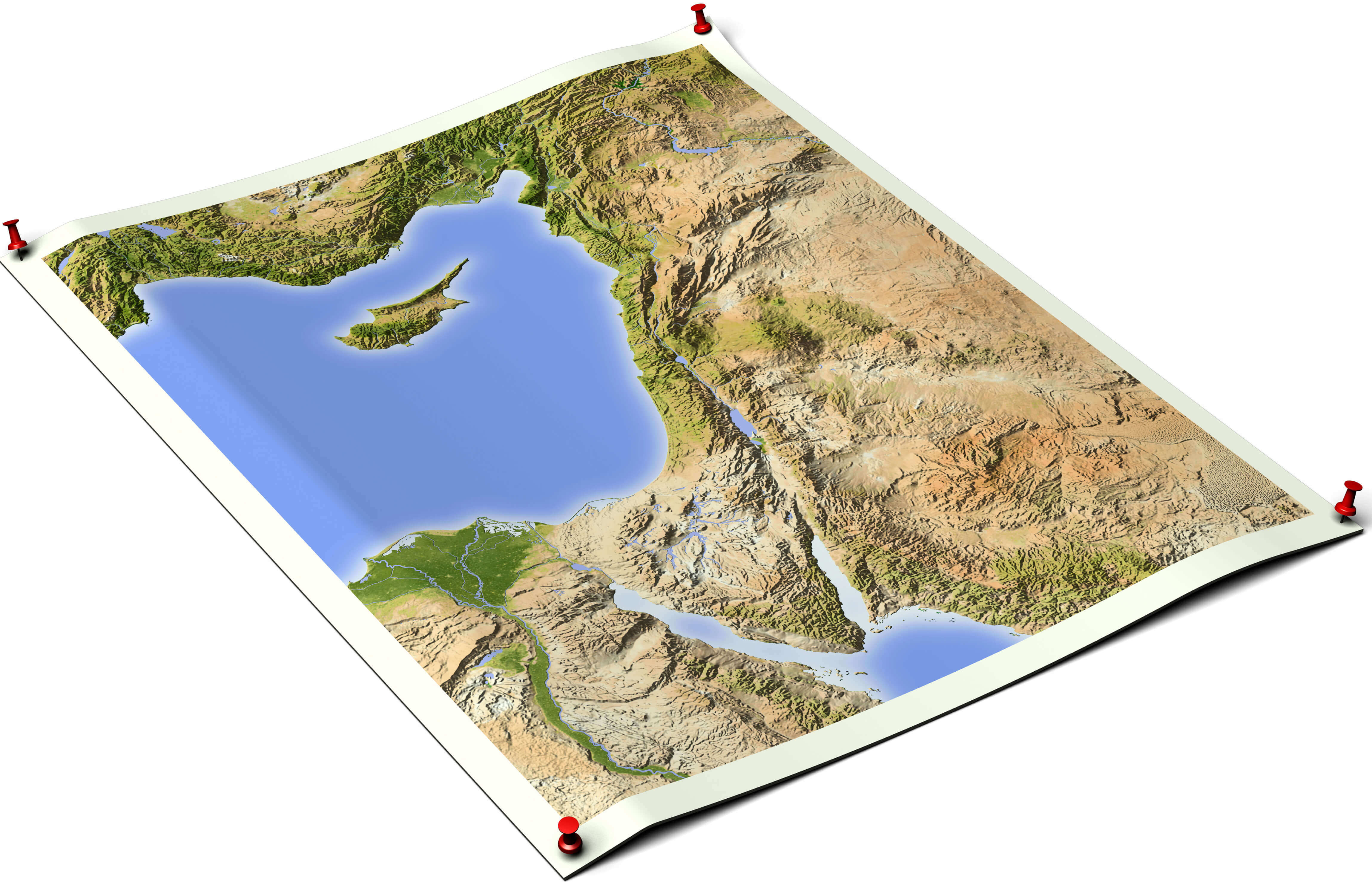
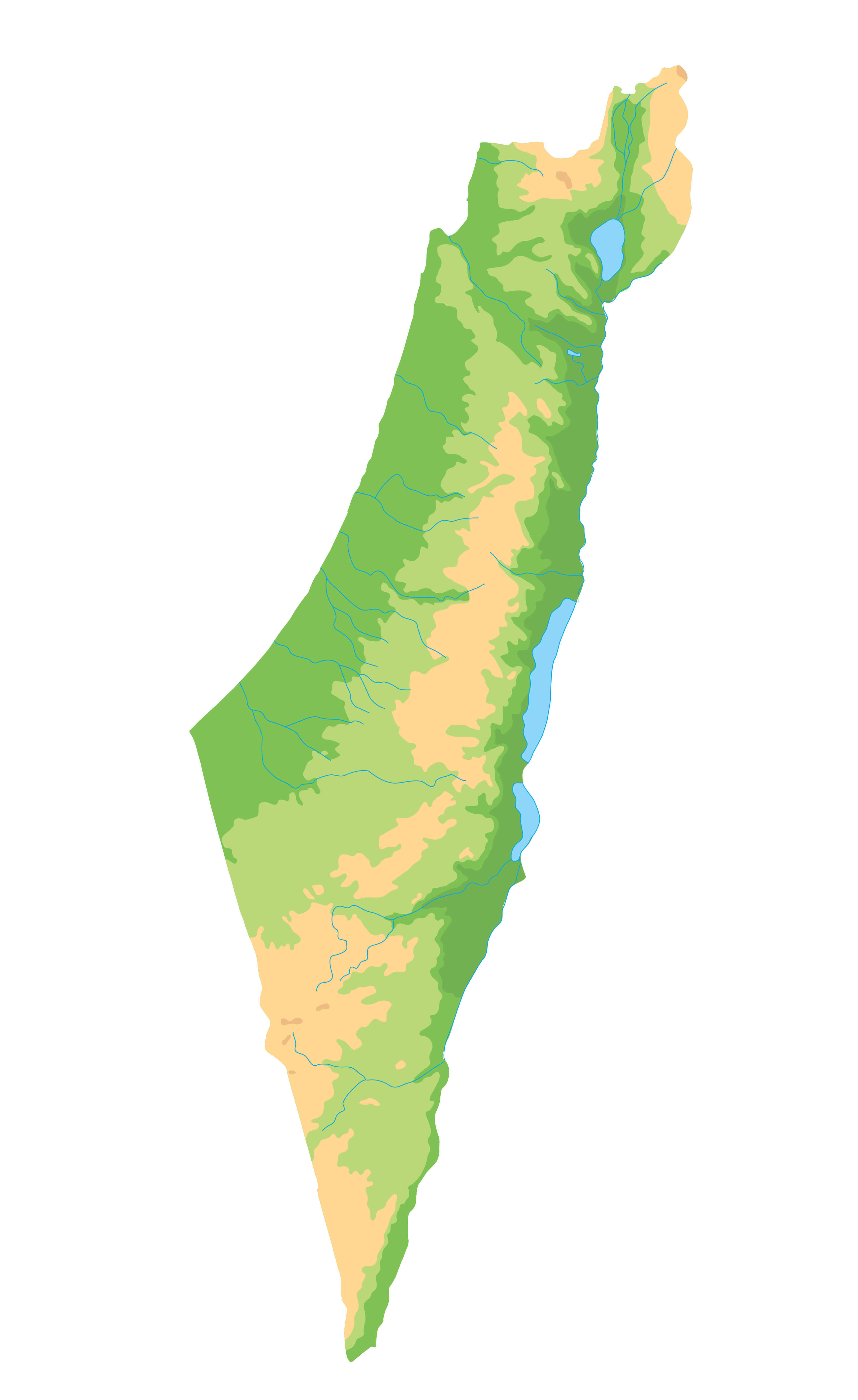
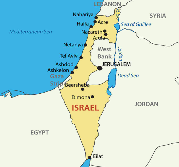
Israel Physical Map
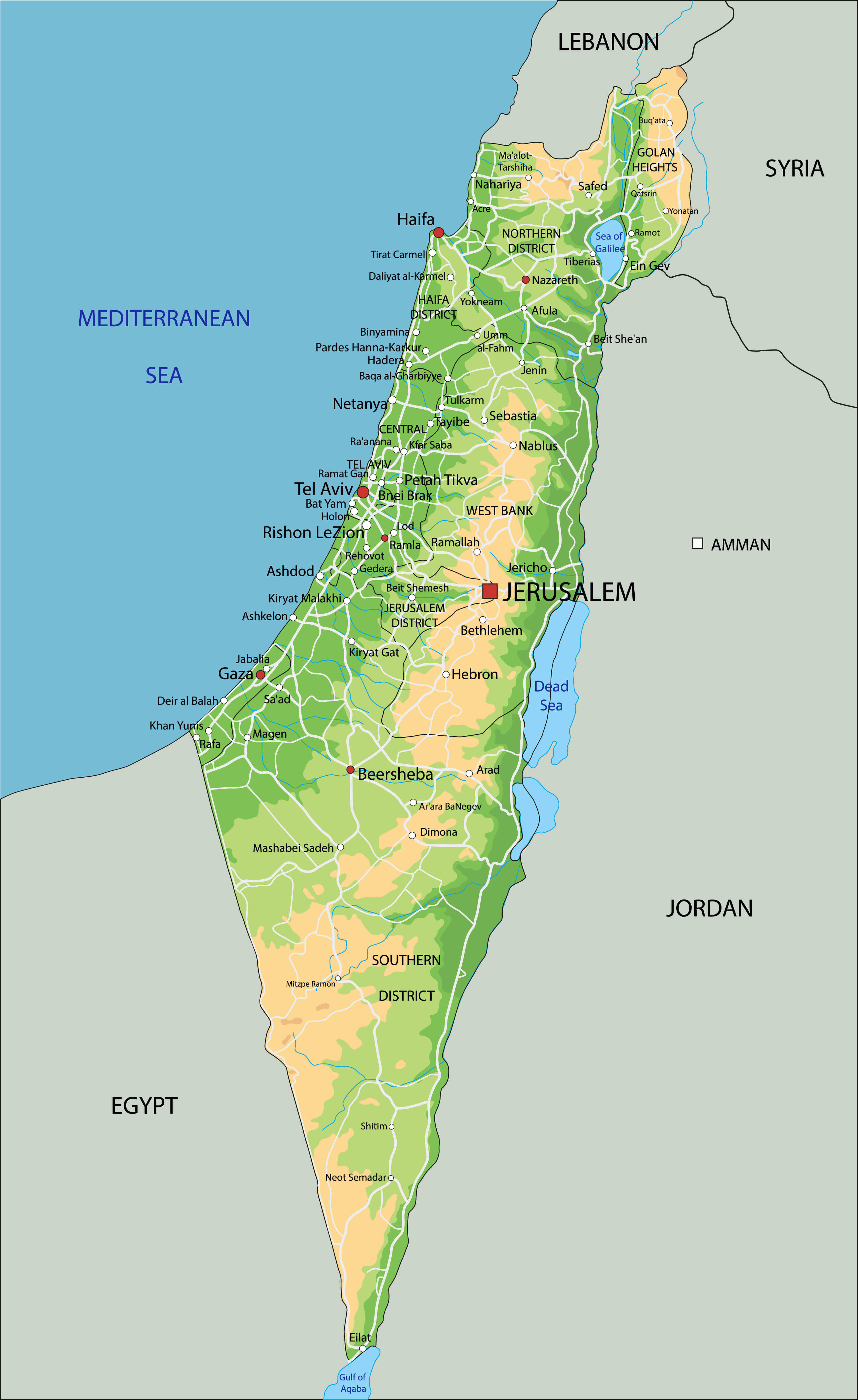
Detailed Israel Physical Map
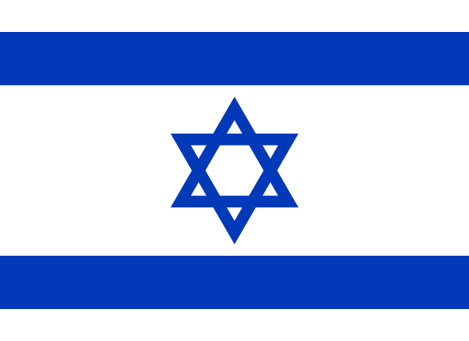
Country Map of Israel with Flag
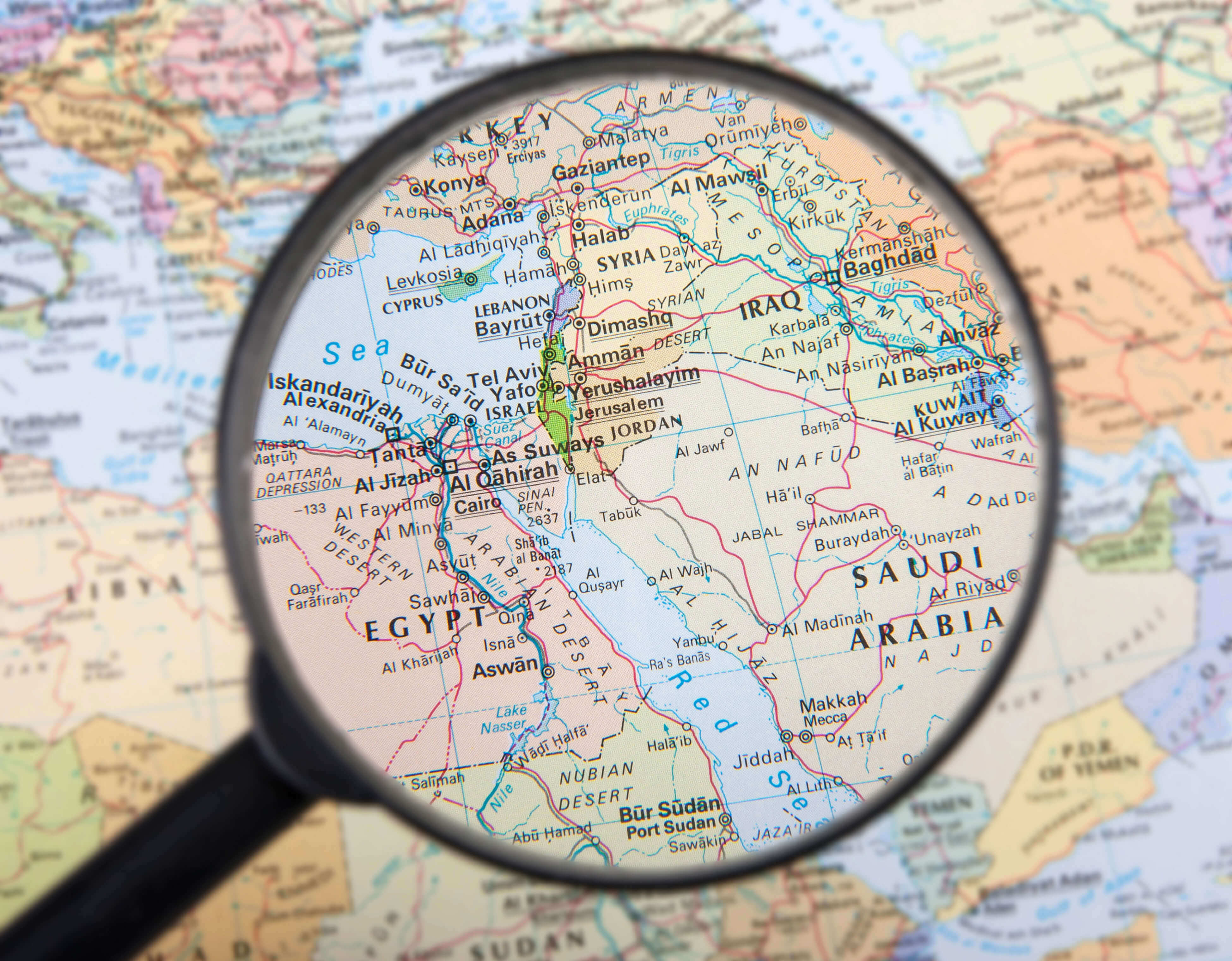
Israel World Map
Israel Middle East Map
Israel Vectorel Map
Israel Map with Flag
Israel National Map
Largest Cities Map of Israel
Ashdod Map - Ashkelon Map - Bat Yam Map - Be'er Sheva Map - Bene Beraq Map - Haifa Map - Holon Map - Netanya Map - Petah Tiqwa Map - Ramat Gan Map - Rehovot Map - Tel Aviv Yafo Map - Jerusalem Map -Israel Google Map, Street Views, Maps Directions, Satellite Images
Please Not : You can find local businesses, public places, tourist attractions via map view, satellite image, hybrid view, driving directions in Israel Map. You'll also find a varity map of Israel such as political, administrative, transportation, demographics maps following Google map.
Submit URL to Israel :
turkey-visit.com offers a collection of Israel map, google map, Asia map, political, physical, satellite view, country infos, cities map and more map of Israel.
Please feel free share your comments and questions :
Please feel free share your comments and questions :
"Israel" related content to share on social media;


Copyright Turkey Travel Guide - 2005 - 2026. All rights reserved. Privacy Policy | Disclaimer