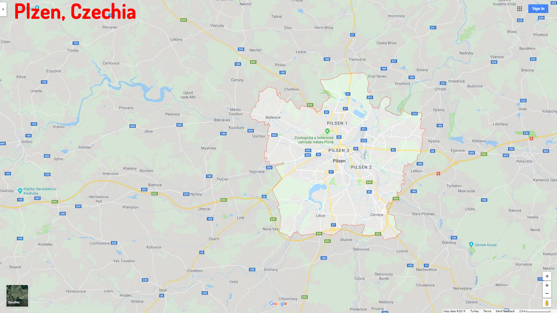
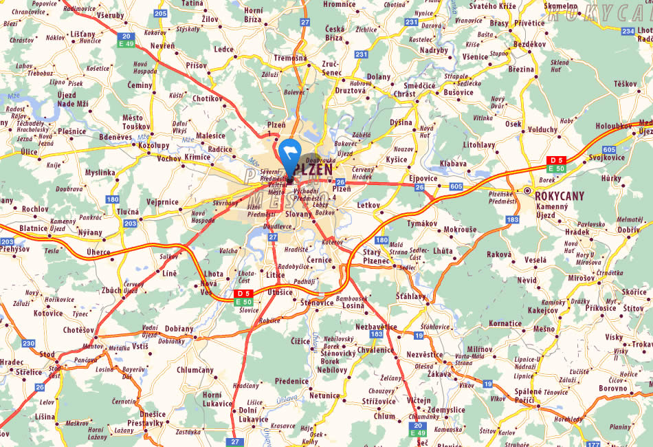
Plzen Map
Navigate Plzen Map, Plzen city map, satellite images of Plzen, Plzen towns map, political map of Plzen, driving directions and traffic maps.
For more >> Czech Republic Maps
For more info >> Czech Republic
Plzen Map - Political, Physical, Touristic City Maps and Satellite Images
PLZEN MAP CZECHIA
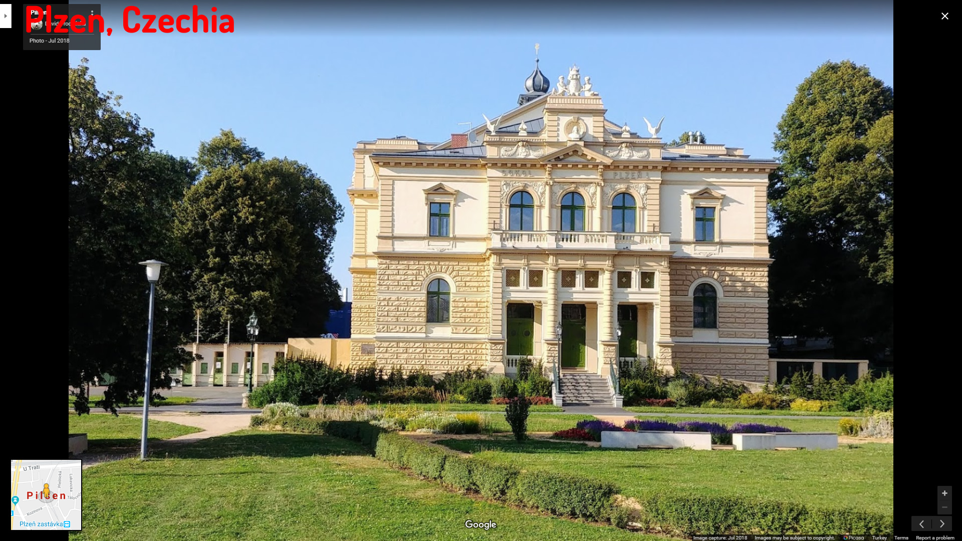
A Collection of Plzen and Satellite Images
Plzen Map Czechia
Plzen Czechia
Plzen Map
Unlocking the Charms of Prague: The Ultimate Top 10 Experiences Guide
Please subscribe on "World Guide" channnel on Youtube at youtube.com/c/WorldGuide
See Also
Please view more about Czech Republic, cities aerial views, map and photos
Czech Republic Czech Republic Map Czechia Czechia Map Discover Prague: Top 10 Unforgettable Experiences Praha Map Prague Map Plzen Map Ostrava Map Olomouc Map Liberec Map Liberec MapPlzen Google Map, Street Views, Maps Directions, Satellite Images
turkey-visit.com offers a collection of Plzen map, google map, Plzen atlas, political, physical, satellite view, country infos, cities map and more map of Plzen.
Largest Cities' Map of Czech Republic
Liberec Map Brno Map Ostrava Map Olomouc Map Praha Map Plzen MapCopyright Turkey Travel Guide - 2005 - 2026. All rights reserved. Privacy Policy | Disclaimer