India Map
Navigate India map, satellite images of the India, states, largest cities, political map, capitals and physical maps.
- Capital : New Delhi
- Population : 1,210,193,422
- GDP : $1.848 trillion (10th)
- Per Capita : $1,388 (140th)
- Calling Code : +91
- Jobless Rate : 3.80%
- Time Zone : +5.30
A Collection of India Maps
Map of the Republic of India
 Map of the Republic of India with the states colored in bright colors
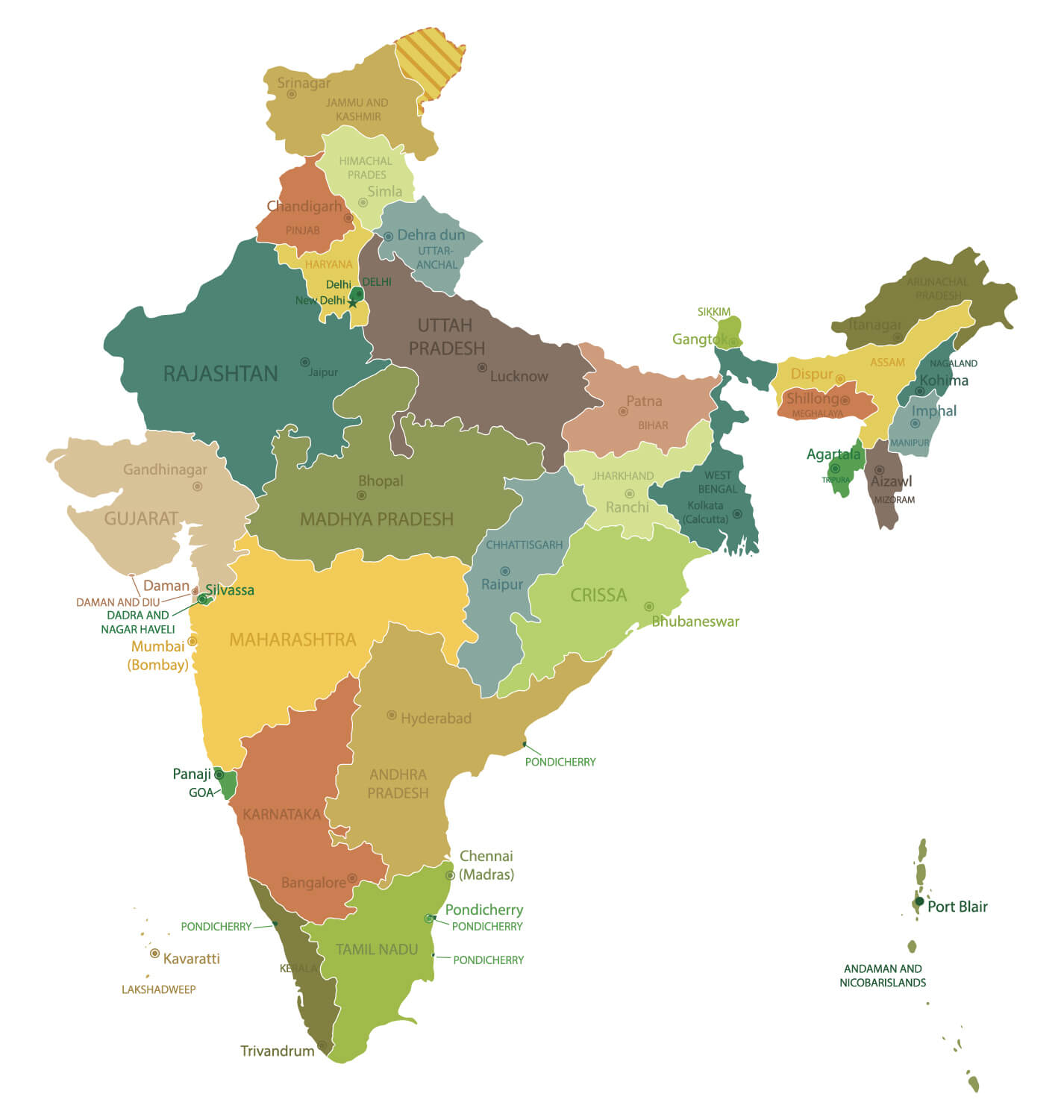
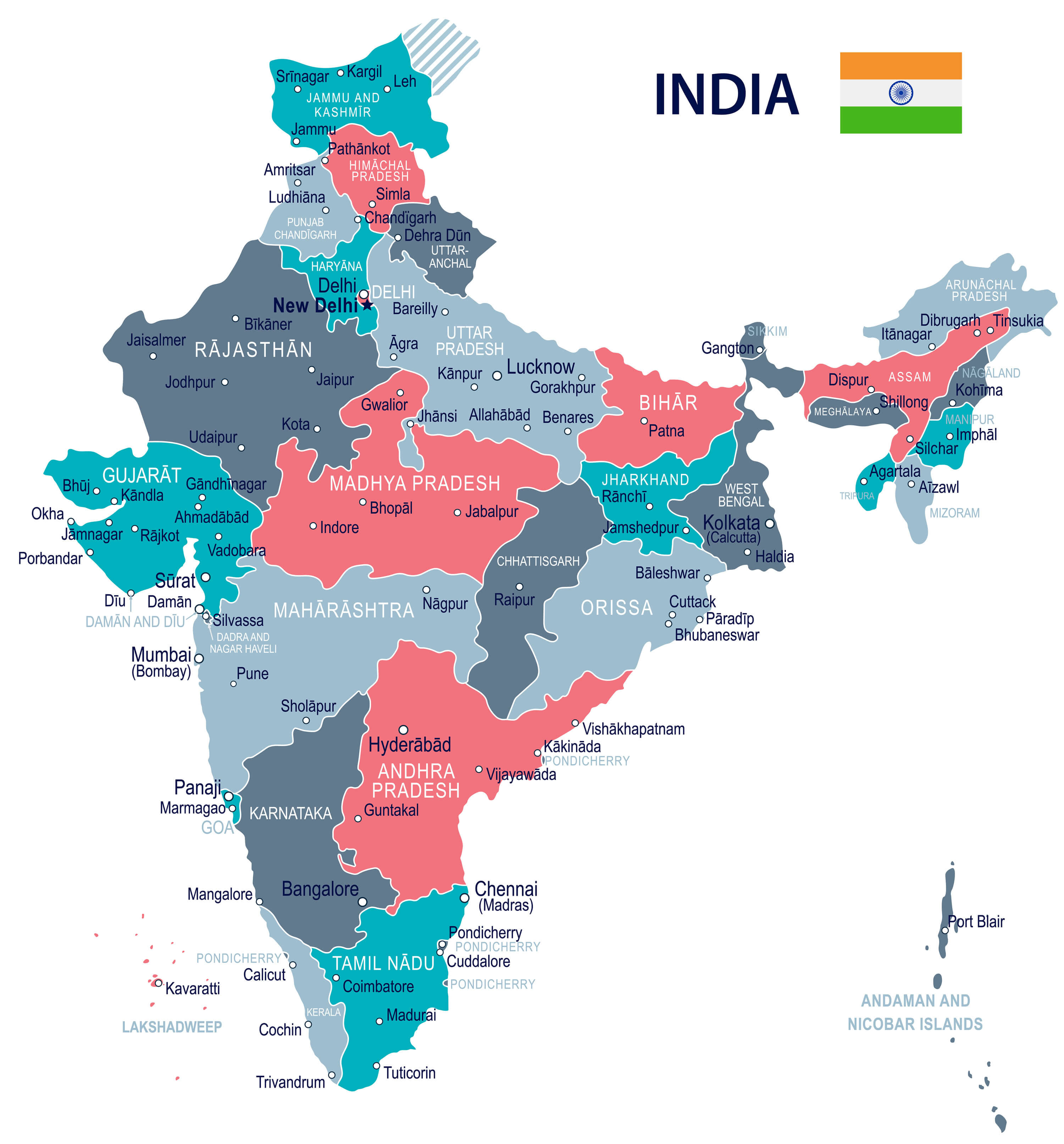
India State Map
 India map with states and capital cities.
India Vector Map
 Republic of India - vector map.
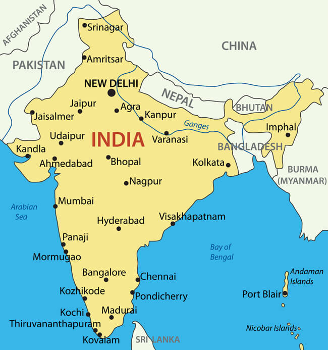
India Detailed Map
 India highly detailed map. All elements are separated in editable layers clearly labeled..
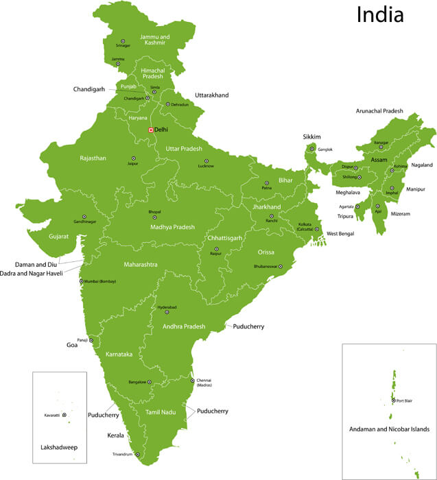
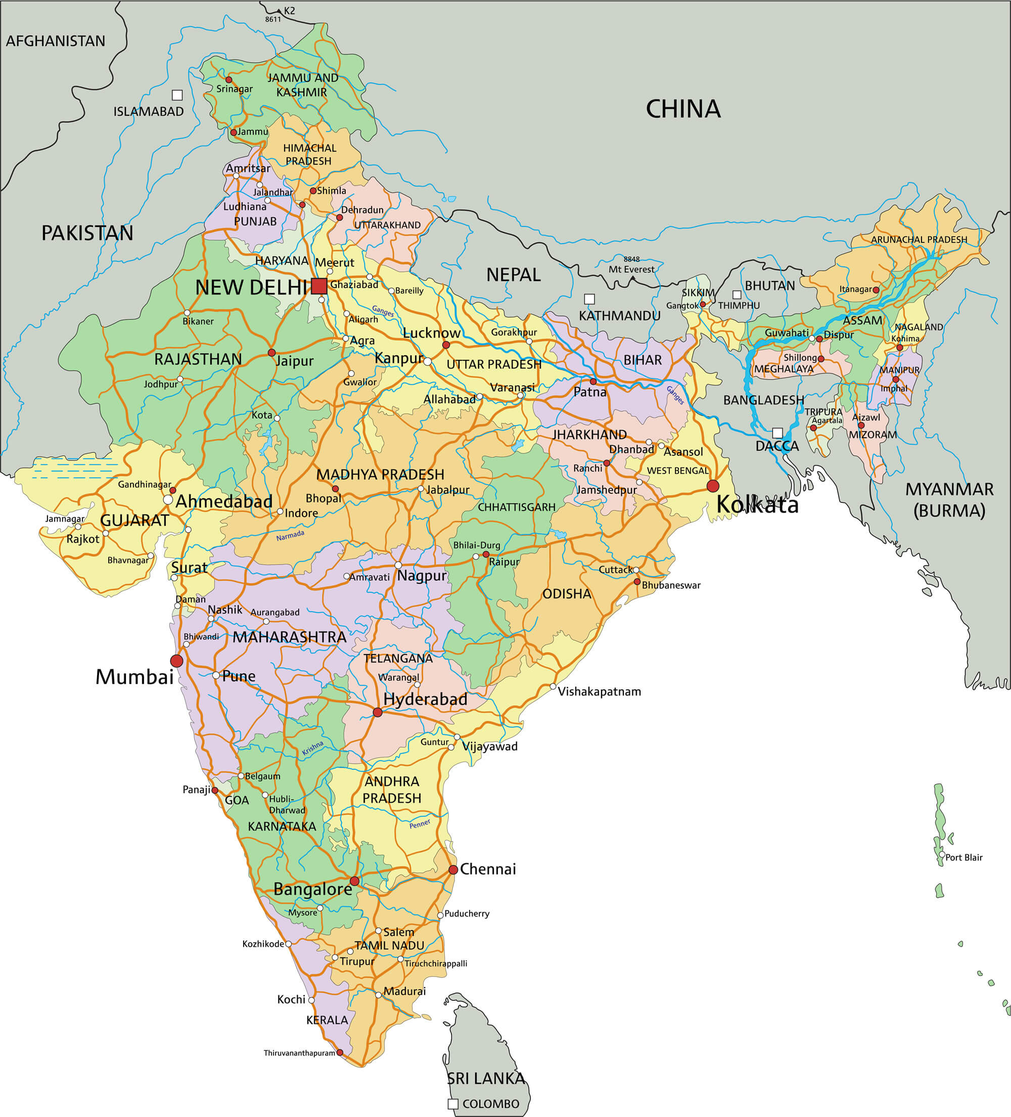
India Administrative Map
 India administrative map with major cities.
India Geographical Map
 India geographical view (Geographical view altered on colors/perspective and focus on the edge. Names can be partial or incomplete).
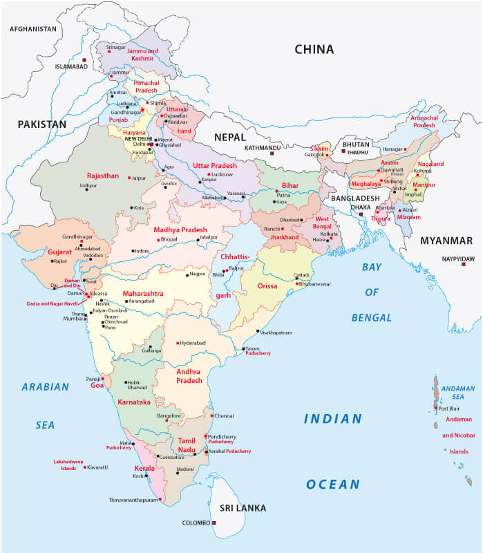
Administrative Map of India
 Administrative Map of India with main cities.
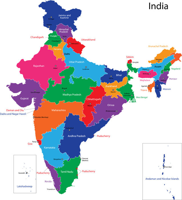
Colorful India Political Map
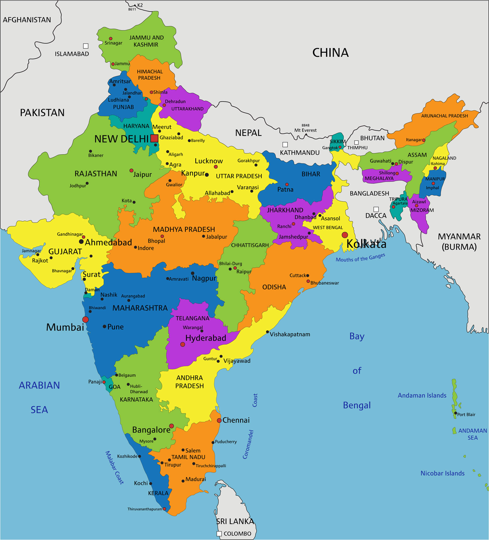 Colorful India political map with clearly labeled, separated layers. Vector illustration.
India Political Map
 India - Highly detailed editable political map with labeling.
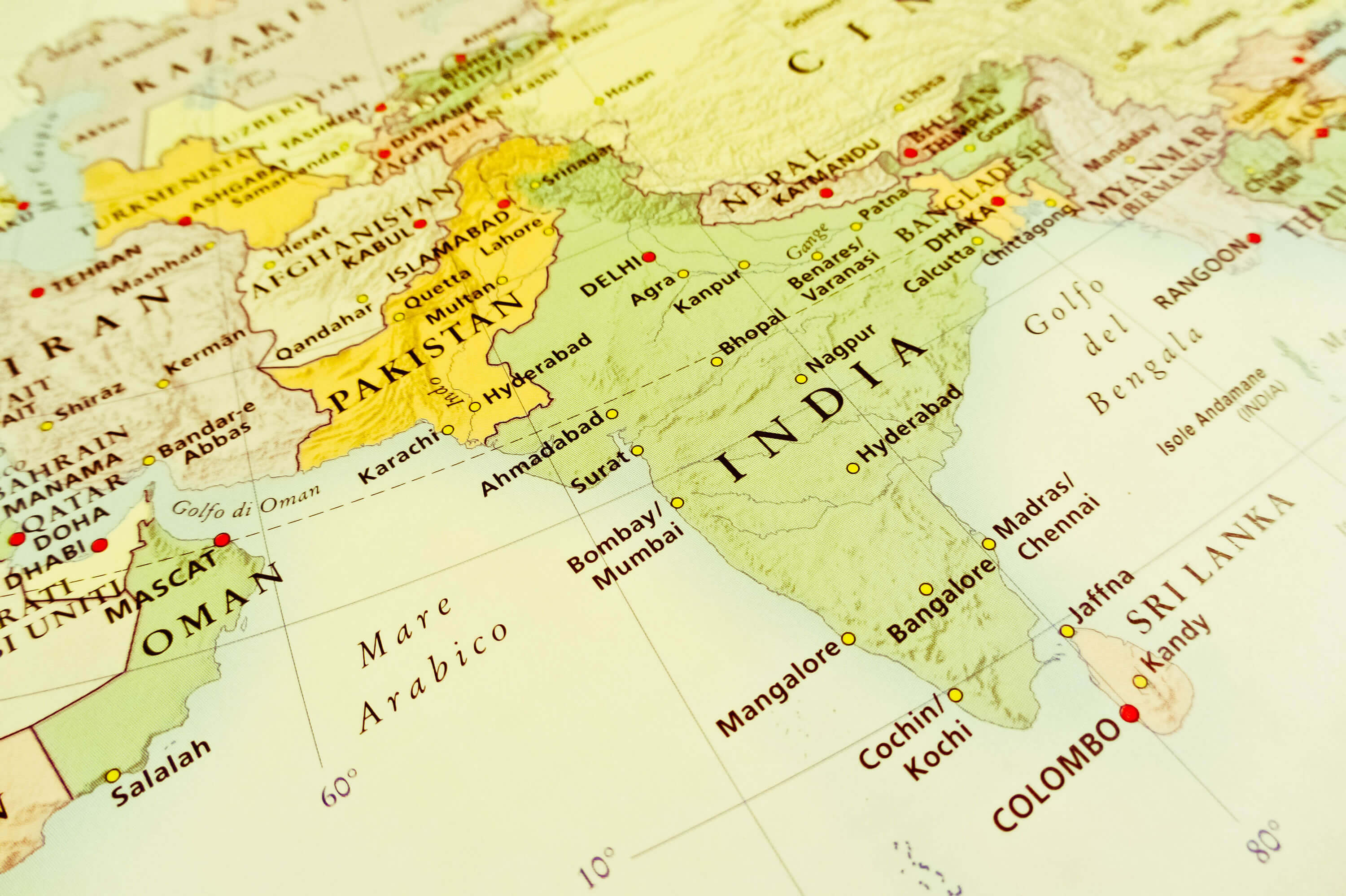
India Earth Satellite Map
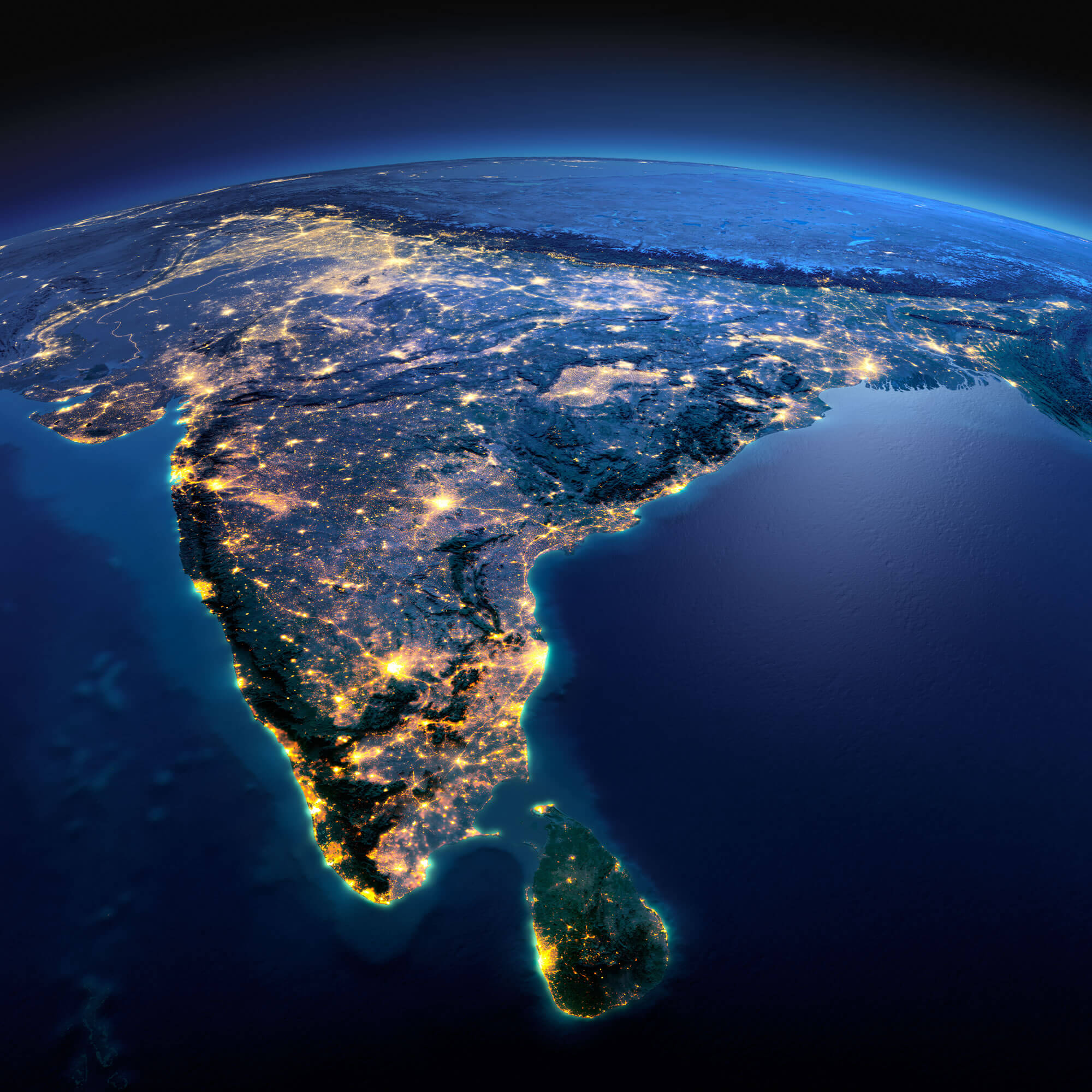 Night planet Earth with precise detailed relief and city lights illuminated by moonlight. India and Sri Lanka. Elements of this image furnished by NASA.
India Kitsch Art of Forming Map
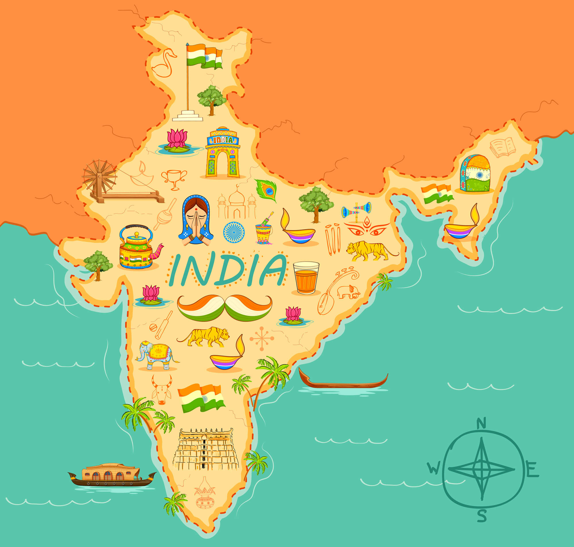 illustration of kitsch art of forming map of India.
India Blank Map
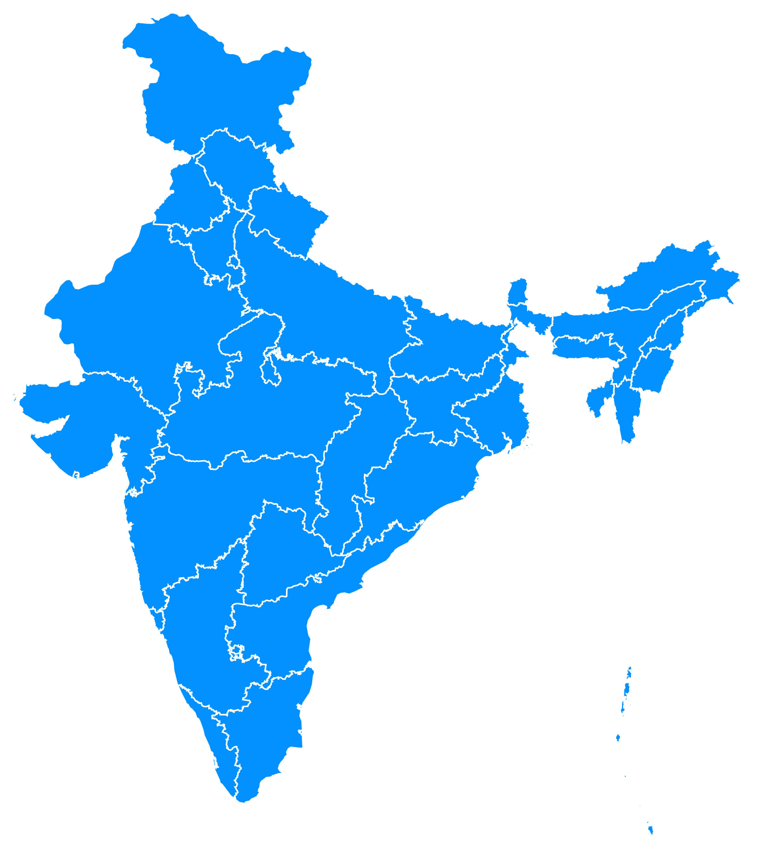 Blue map of India, India Blank Map.
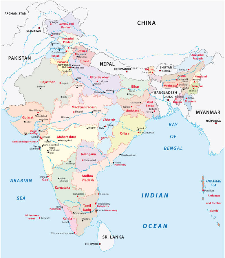
India Administrative and Political Map
 India administrative and political zones vector map with main cities.
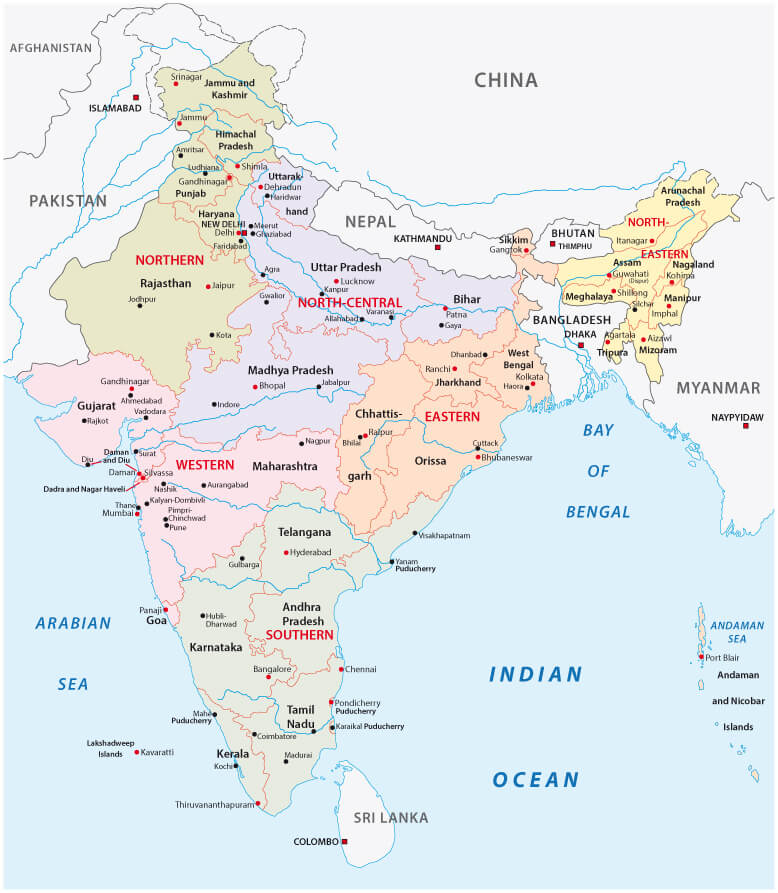
India Regions Map
 India map and flag - highly detailed vector illustration with major cities and regions.
India Infographics Map
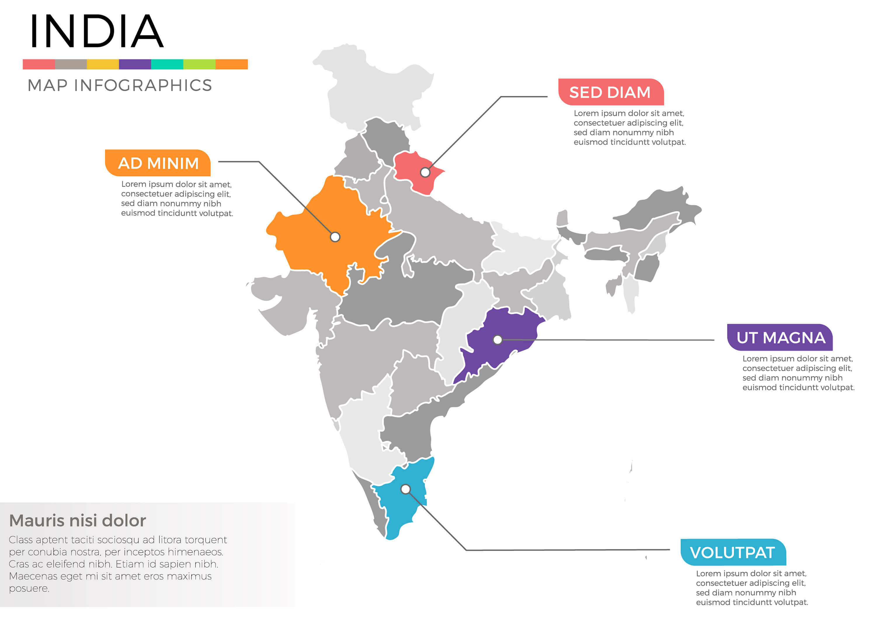 India map infographics vector template with regions and pointer marks.
Largest Cities Map of India
Agra Map - Ahmadabad Map - Allahabad Map - Amritsar Map - Asansol Map - Bangalore Map - Bhopal Map - Madras Map - Coimbatore Map - Delhi Map - Dhanbad Map - New Township Map - Ghaziabad Map - Hyderabad Map - Indore Map - Jabalpur Map - Jaipur Map - Jamshedpur Map - Kanpur Map - Cochin Map - Calcutta Map - Lucknow Map - Ludhiana Map - Madurai Map - Meerut Map - Bombay Map - Nagpur Map - Nasik Map - Patna Map - Poona Map - Rajkot Map - Surat Map - Baroda Map - Benares Map - Vijayawada Map - Vishakhapatnam Map - Ahmedabad Map - Chennai Map - Mumbai Map - Pune Map -India Google Map, Street Views, Maps Directions, Satellite Images
Please Not : You can find local businesses, public places, tourist attractions via map view, satellite image, hybrid view, driving directions in India Map. You'll also find a varity map of India such as political, administrative, transportation, demographics maps following Google map.
Submit URL to India :
turkey-visit.com offers a collection of India map, google map, Asia map, political, physical, satellite view, country infos, cities map and more map of India.
Copyright Turkey Travel Guide - 2005 - 2026. All rights reserved. Privacy Policy | Disclaimer