- world map
- africa map
Map Africa
Navigate Africa Map, countries map, satellite images of the Africa, largest cities maps, political map, capitals and physical maps.
A Collection of Africa Maps
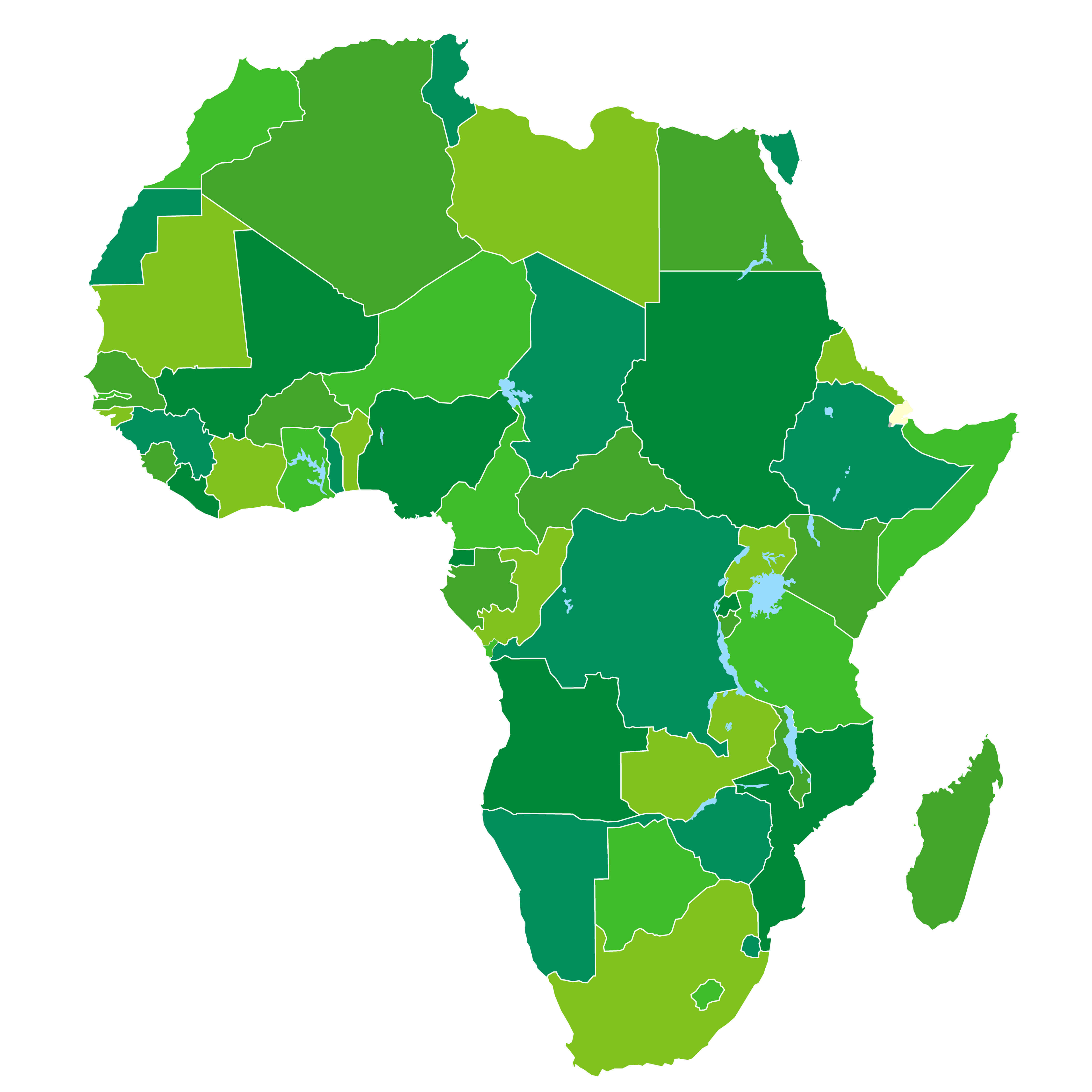
Africa Countries Political Map
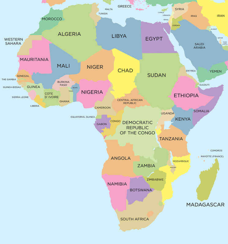 Africa Countries Political Map with national borders.
About Africa and Maps - Youtube Video
Visit Africa - Youtube Video
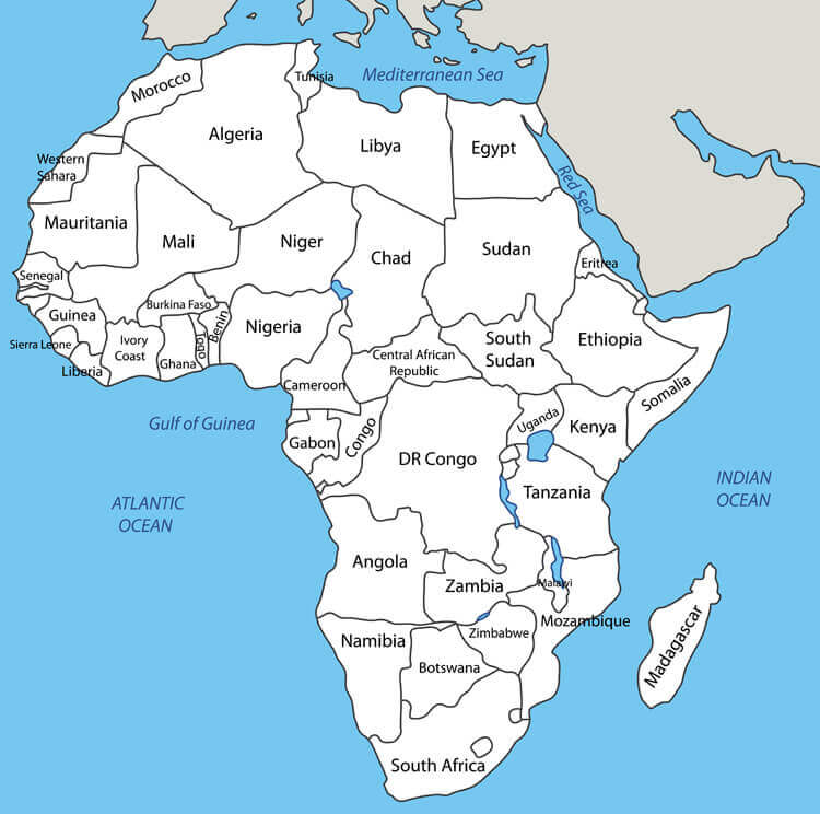
Countries Map of Africa
 Countries Map of Africa, colorful international country borders.
Vector Map of Africa
 Vector Map of Africa with country borders.
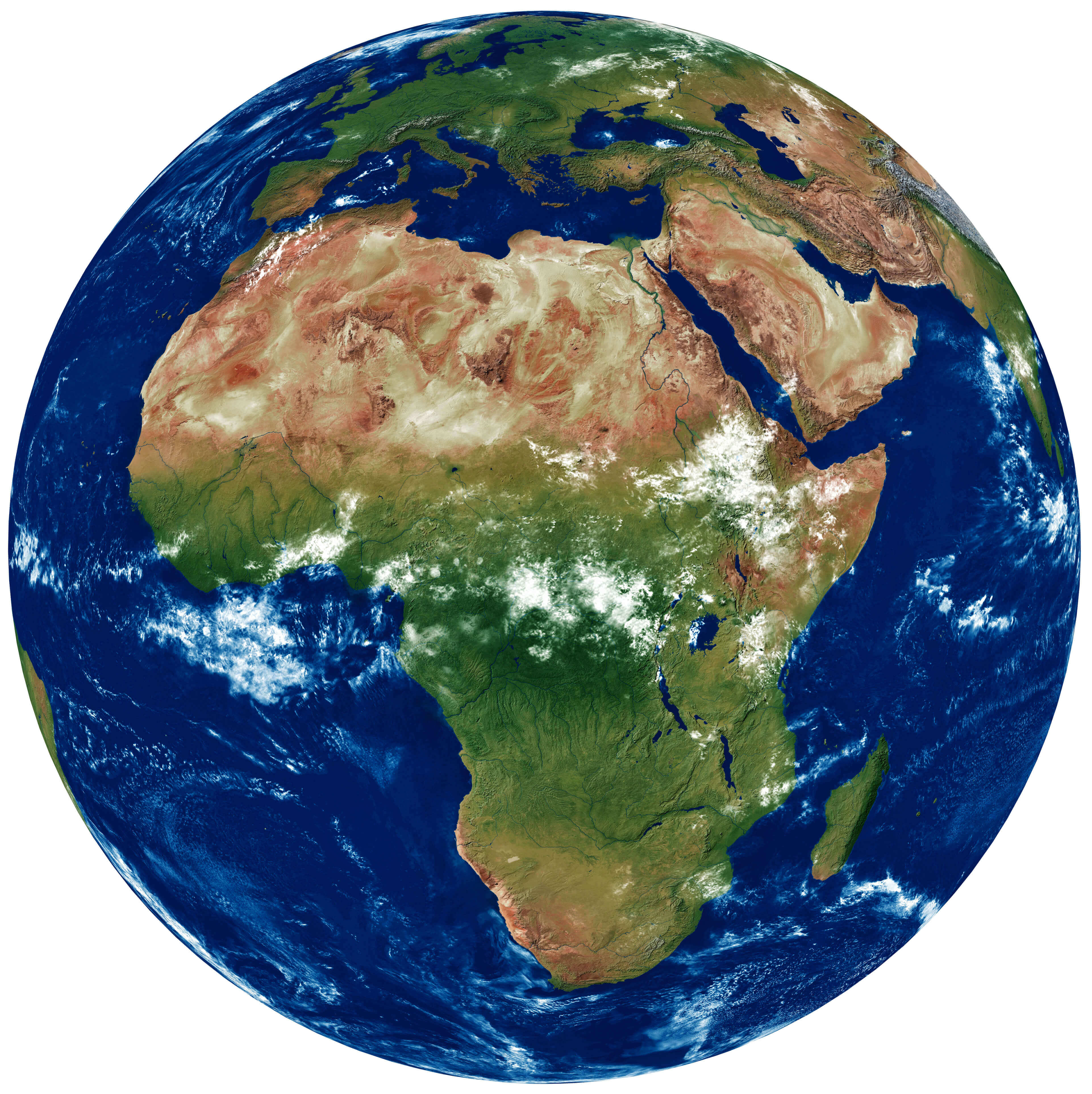
Africa Detailed Topography of Continents
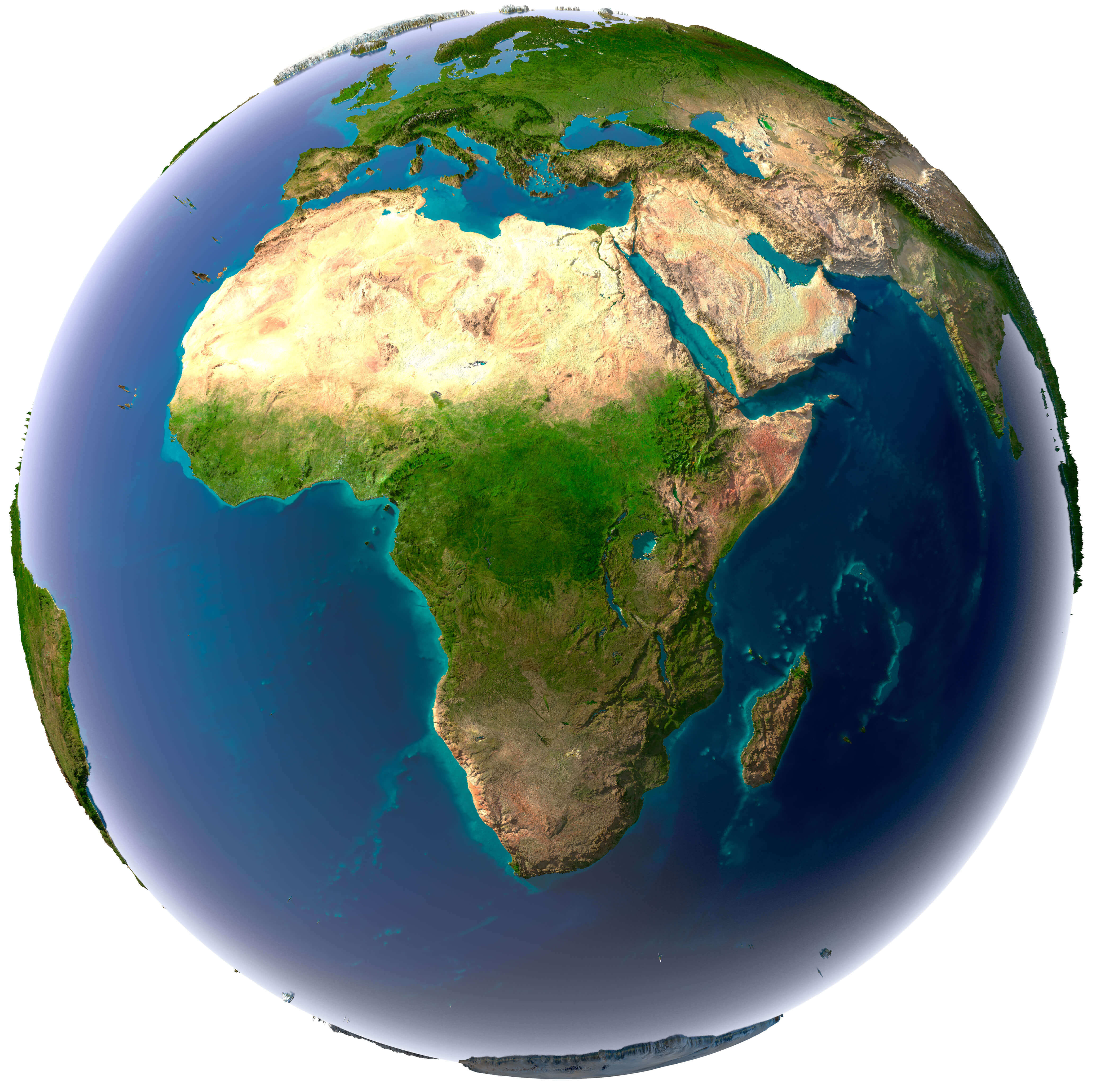 Earth with translucent water in the oceans and the detailed topography of the continents
Africa and 3d Model of the Earth Satellite Image.
 Africa and 3d Model of the Earth Satellite Image, Atlanctic Ocean and Pasific Ocean.
Africa Earth with High Relief Map
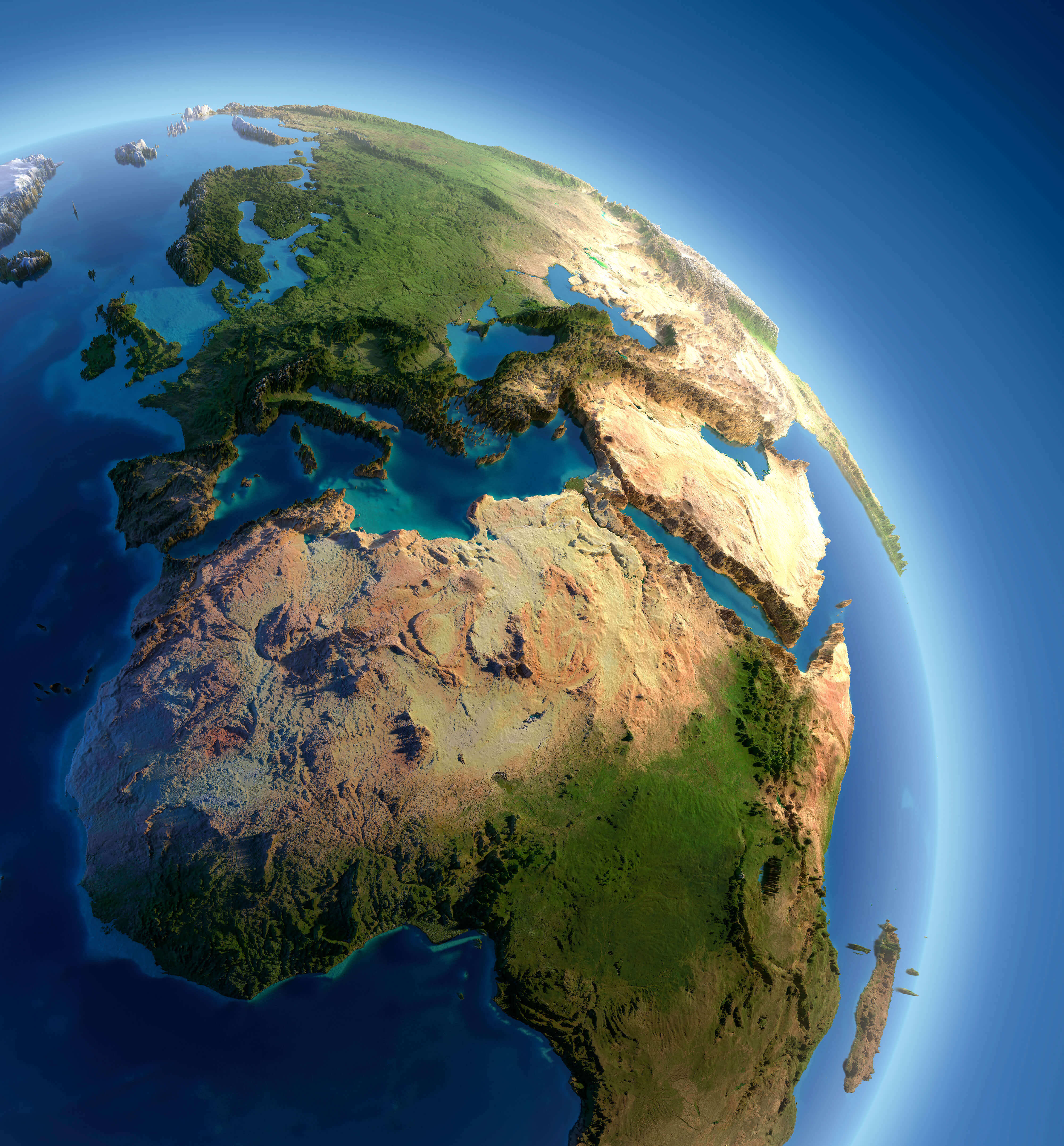 A fragment of the Earth with high relief, detailed surface, translucent ocean and atmosphere, illuminated by sunlight
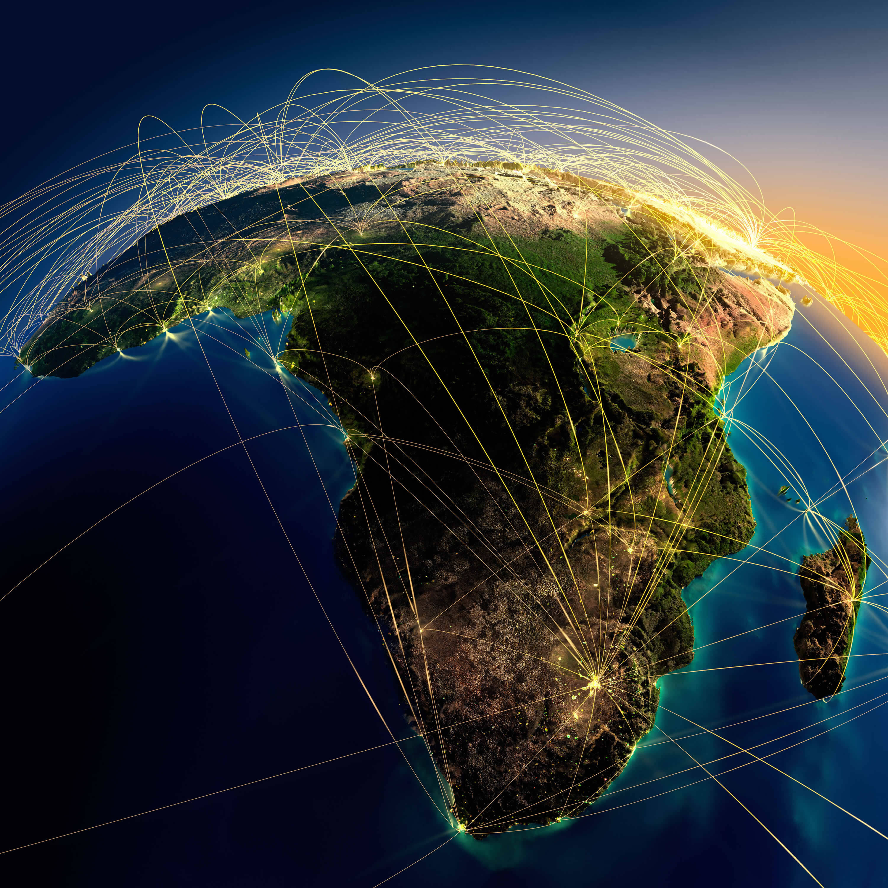
Africa Earth at Night Satellite Image
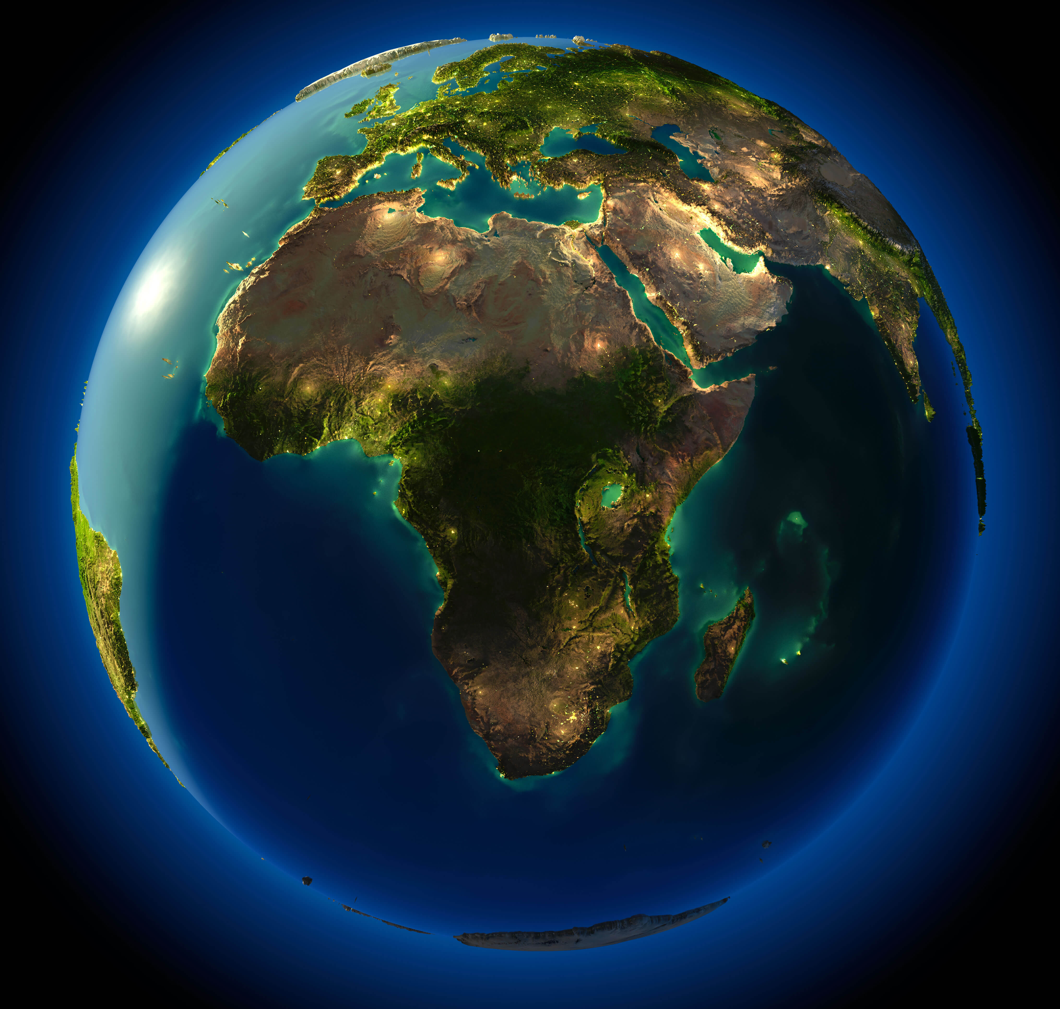 Highly detailed planet Earth at night, with embossed continents, illuminated by light of cities. Earth is surrounded by a luminous network, representing the major air routes based on real data.
Vintage Map of Africa
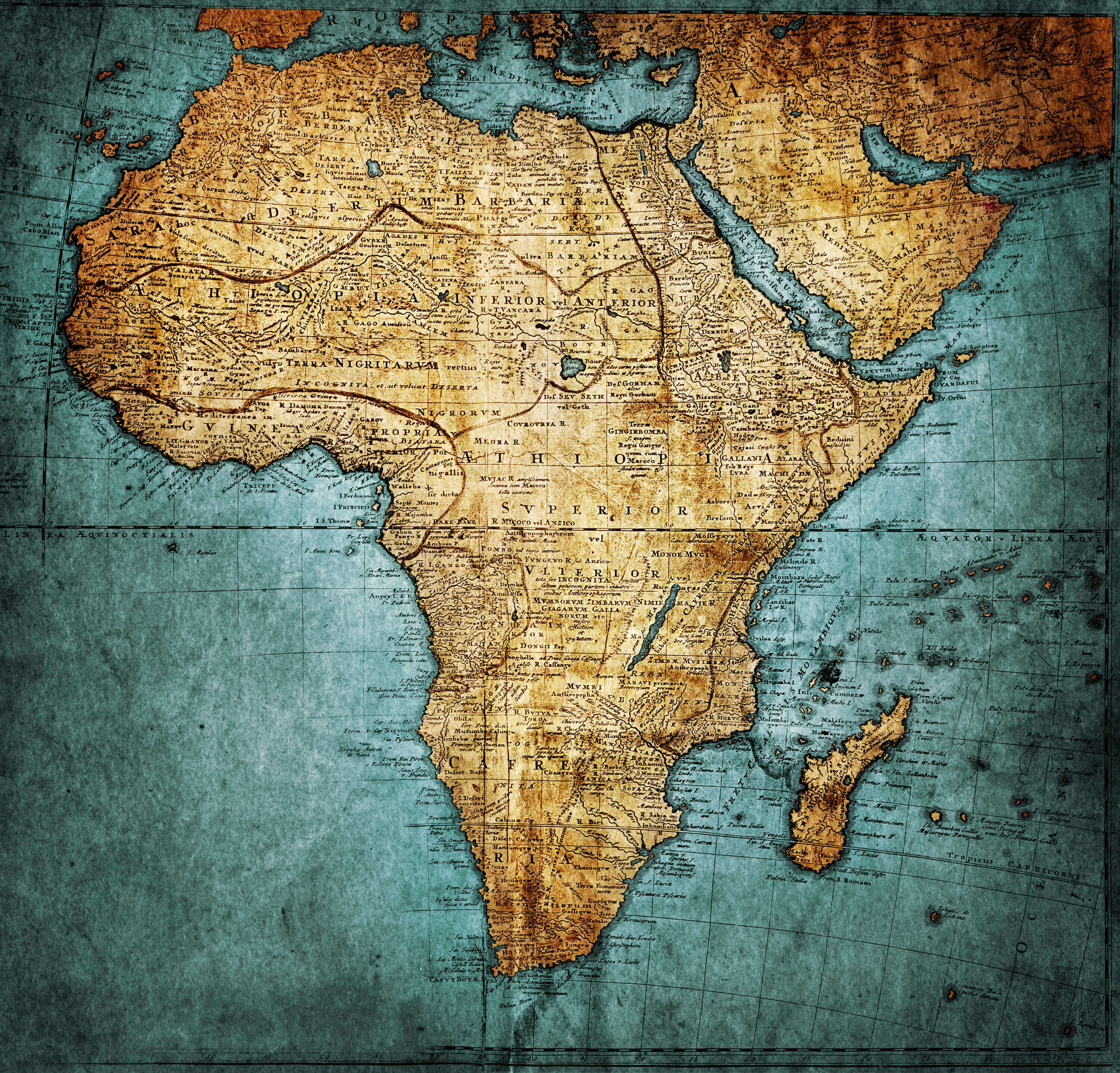 Vintage Map of Africa, publisher: Homannianorum H, 1737 Nuremberg Germany
Africa Blank Map
 Blank Map of Africa with African Countries Borders
Africa and Earth Air Routes on Real Data
 Highly detailed planet Earth at night with embossed continents, illuminated by light of cities. Erath is surrounded by a luminous network, representing the major air lines routes based on real World countries data.
Africa Vector Map
 Africa Vector Map and Africa Countries International Borders
Africa Countries International Borders
 Africa Countries International Borders, Egypte, Sudan, Libya, Tunisia, South Africa, Morocco, Algeria, Nigeria etc.
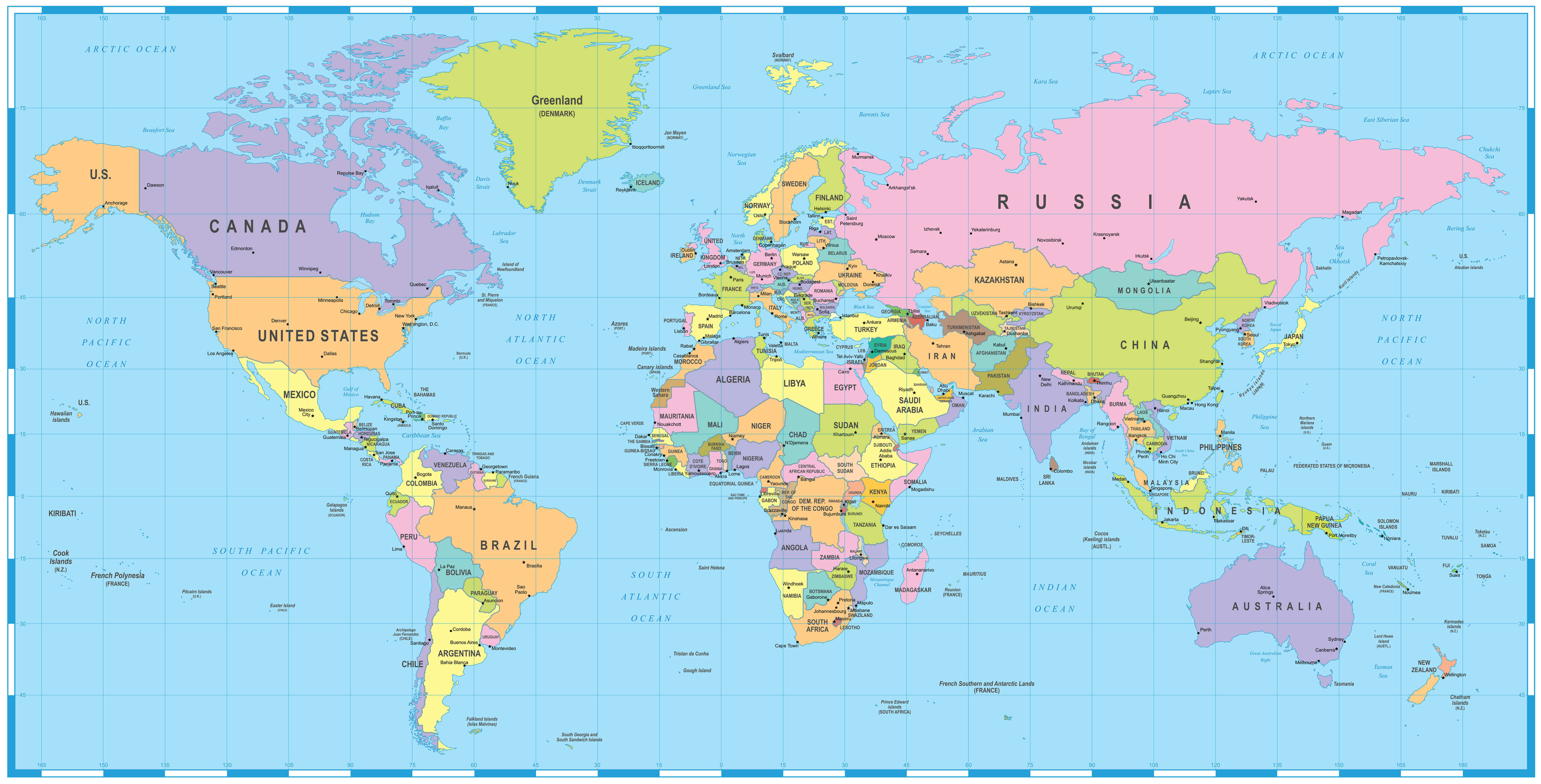
Coloured political map of Africa
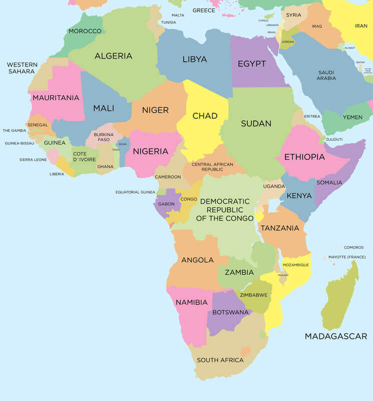 Coloured political map of Africa with international borders.
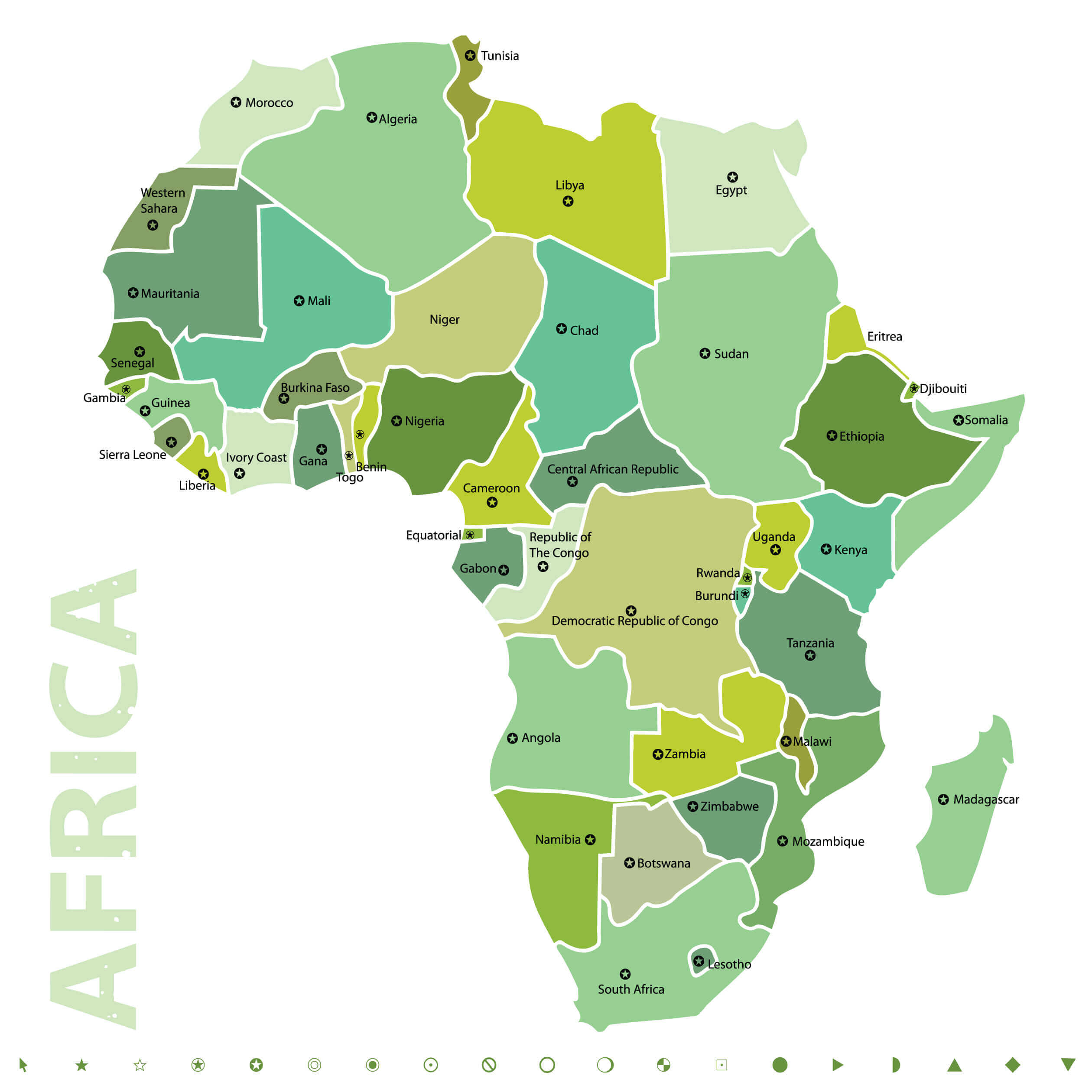
Africa Political World Map with Infographic
 Africa Political world map with infographic elements for your designs
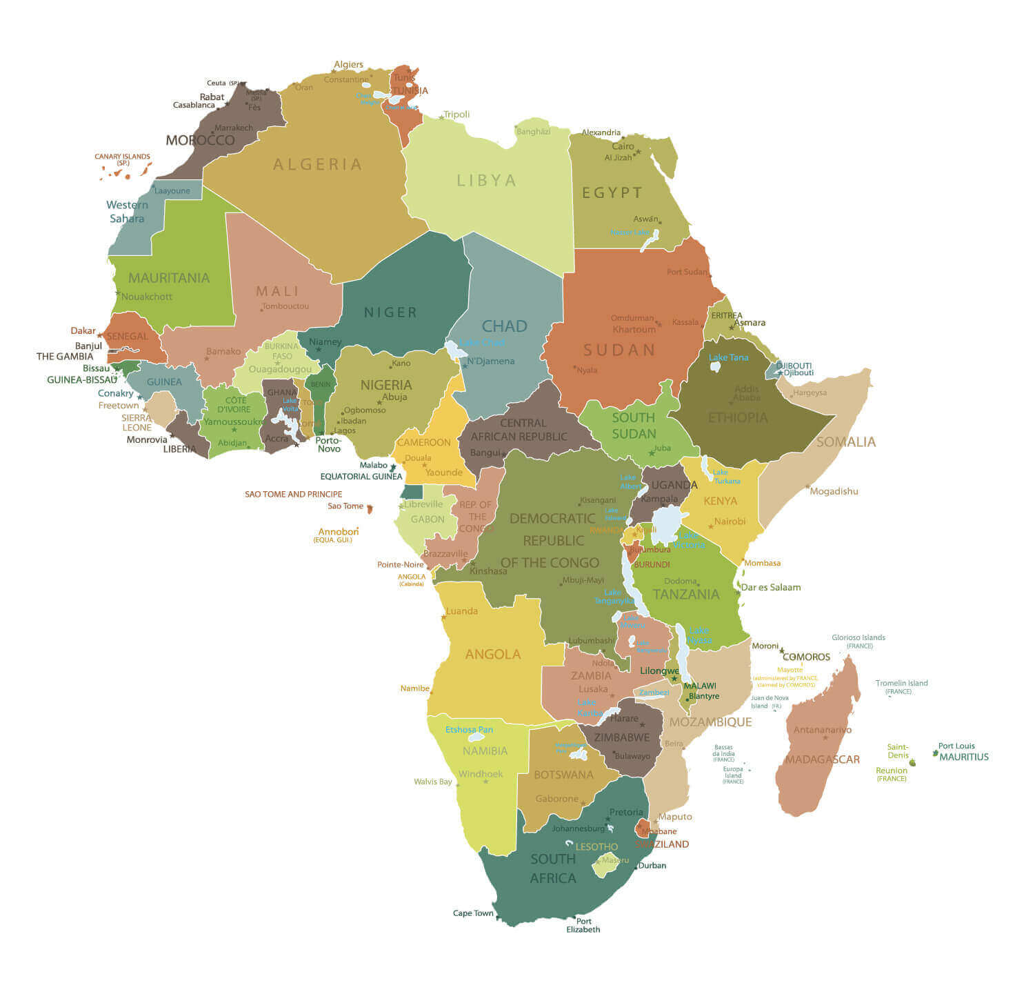
High Detailed Africa Physical Map
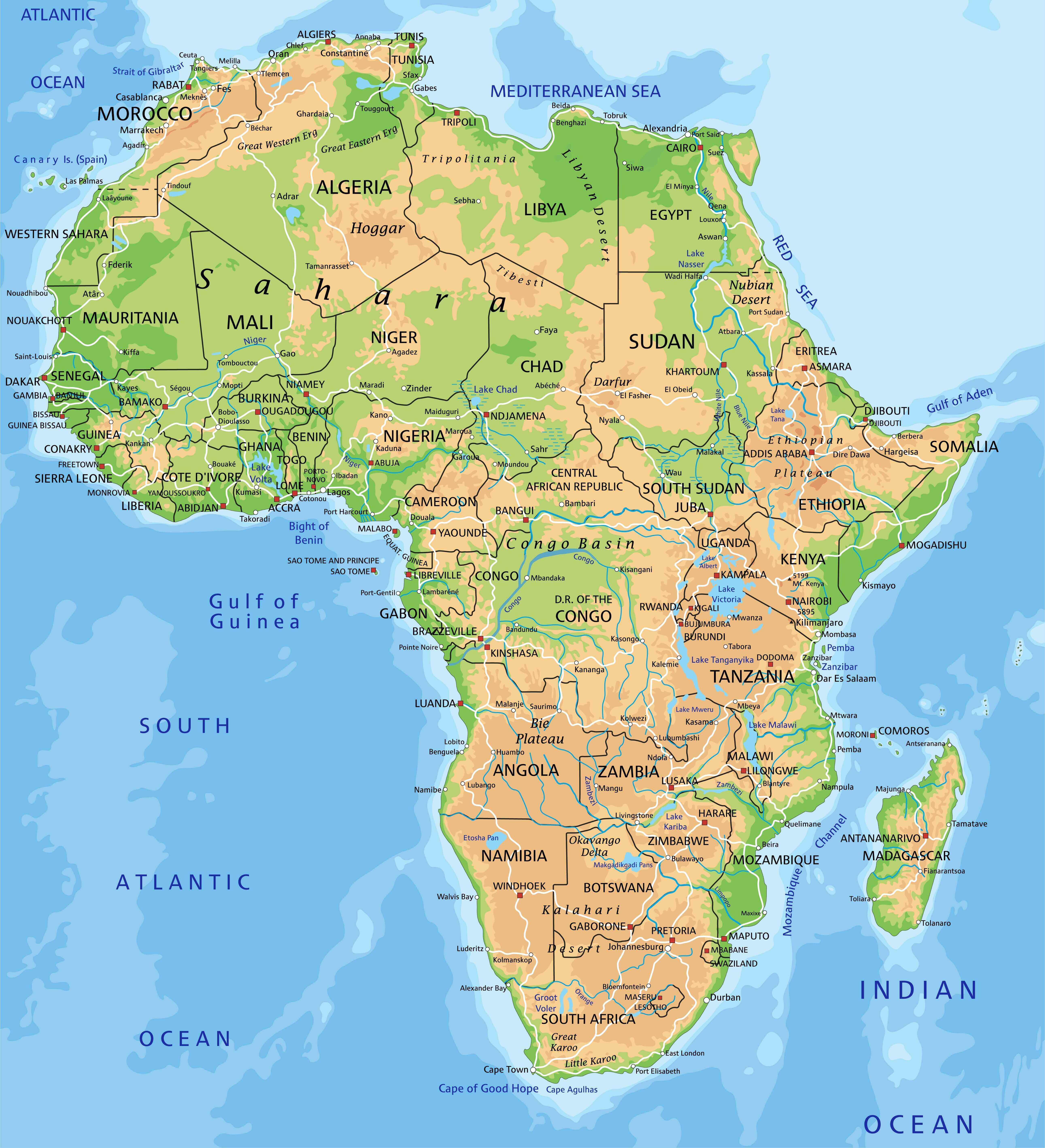 High detailed Africa physical map with countries labeling
Africa Physical Map of the World
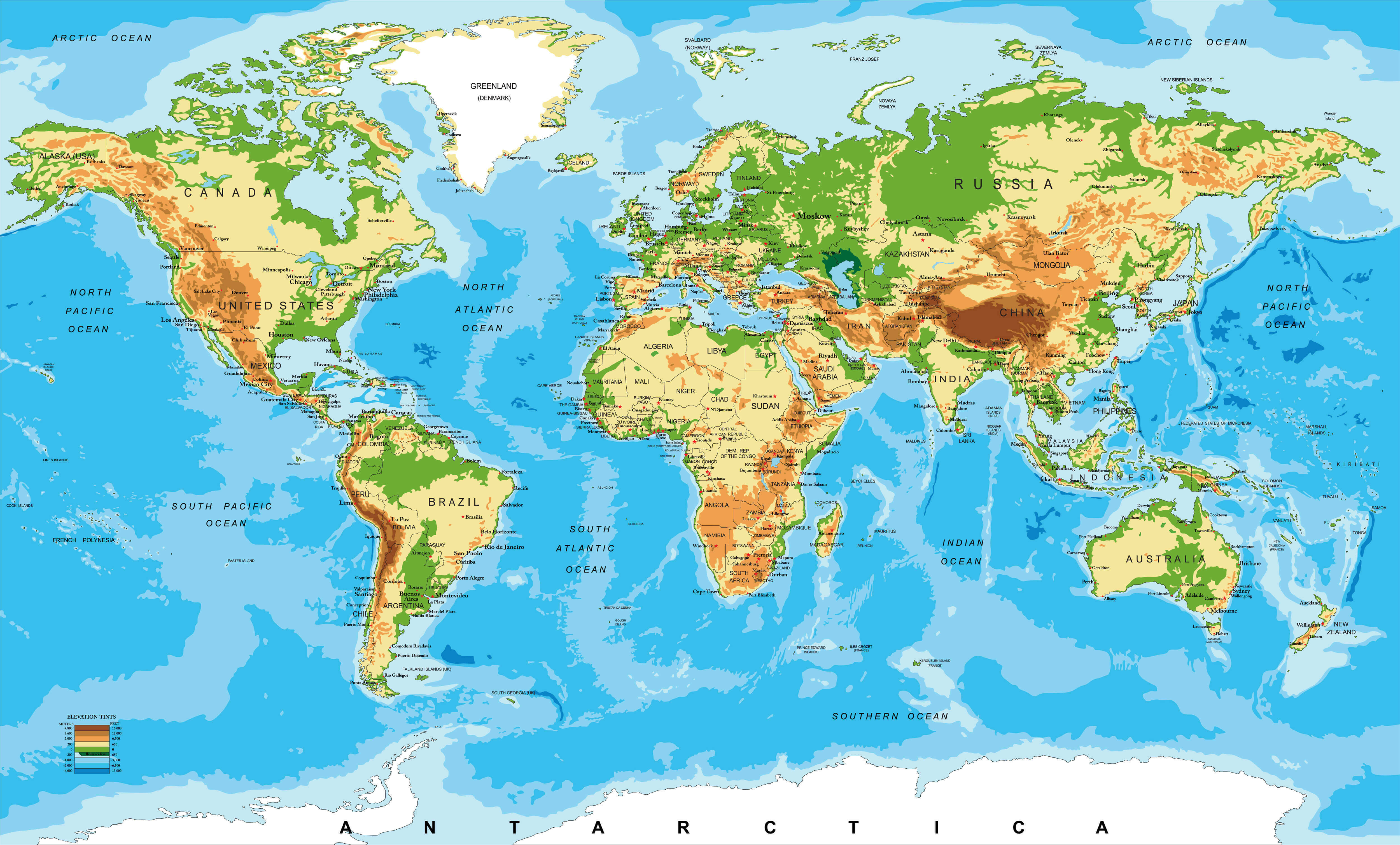 Africa Physical map of the World
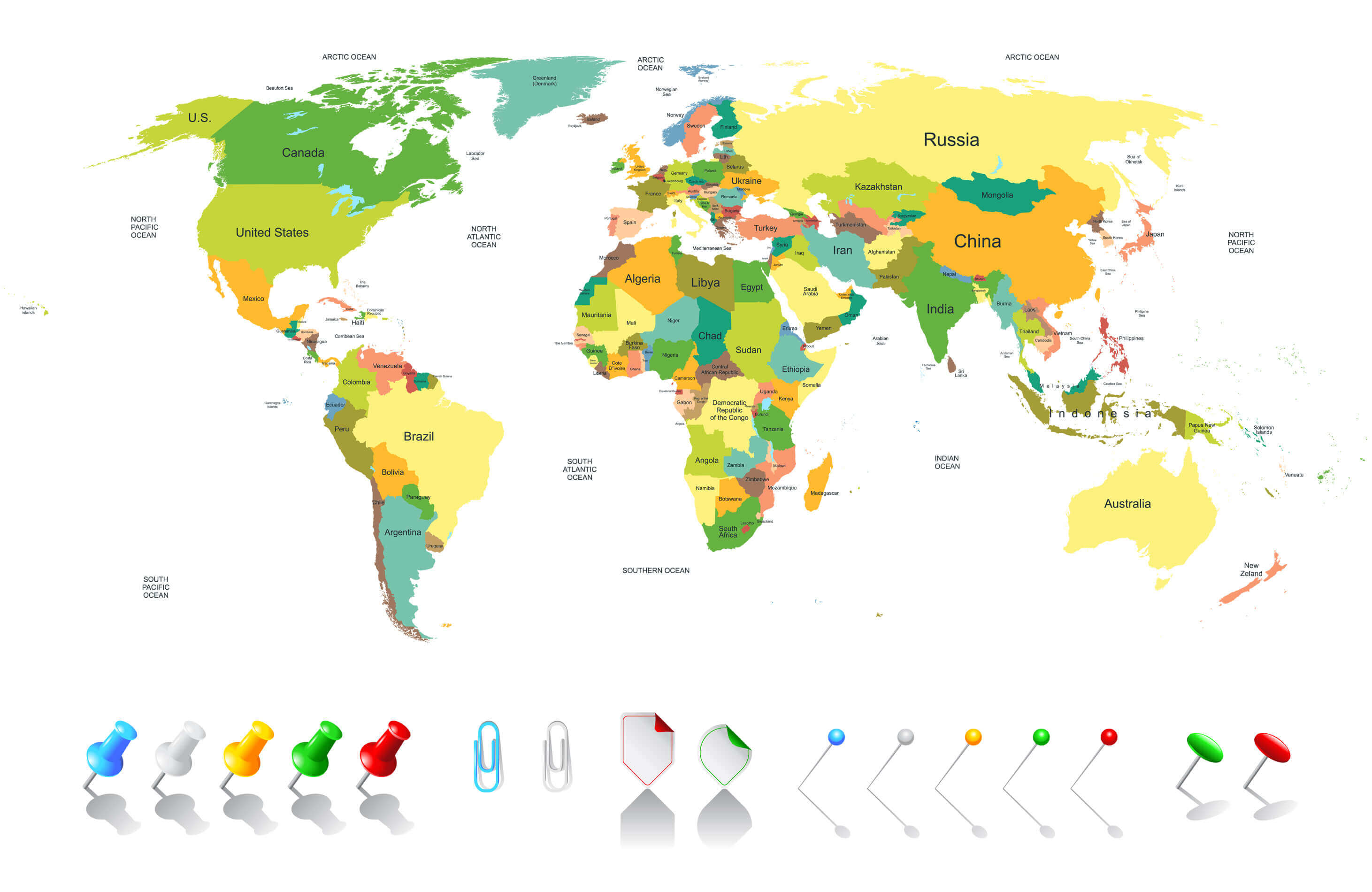
Colored World Map Africa
 Colored World Map - borders, countries and cities - illustration Image contains next layers: - land contours - country and land names - city names - water object names
Africa Google Map, Street Views, Maps Directions, Satellite Images
Please Not : You can find local businesses, public places, tourist attractions via map view, satellite image, hybrid view, driving directions in Africa Map. You'll also find a varity map of Africa such as political, administrative, transportation, demographics maps following Google map.
Submit URL to Africa :
Copyright Turkey Travel Guide - 2005 - 2026. All rights reserved. Privacy Policy | Disclaimer