Nyala Map
Navigate Nyala Map, Nyala city map, satellite images of Nyala, Nyala towns map, political map of Nyala, driving directions and traffic maps.
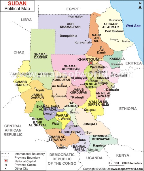
For more >> Sudan Maps
For more info >> Sudan
Nyala Map - Political, Physical, Touristic City Maps and Satellite Images
NYALA MAP
A Collection of Nyala and Satellite Images
Nyala Map
See Also
Nyala Google Map, Street Views, Maps Directions, Satellite Images
turkey-visit.com offers a collection of Nyala map, google map, Nyala atlas, political, physical, satellite view, country infos, cities map and more map of Nyala.
Largest Cities' Map of Sudan
El Fasher Map Khartoum Map Khartoum North Map El Obeid Map Port Sudan Map Juba Map Kassala Map Nyala Map Omdurman Map Medani MapCopyright Turkey Travel Guide - 2005 - 2026. All rights reserved. Privacy Policy | Disclaimer