Vlore Map
Navigate Vlore Map, Vlore city map, satellite images of Vlore, Vlore towns map, political map of Vlore, driving directions and traffic maps.
For more >> Albania Maps
For more info >> Albania
Vlore Map - Political, Physical, Touristic City Maps and Satellite Images
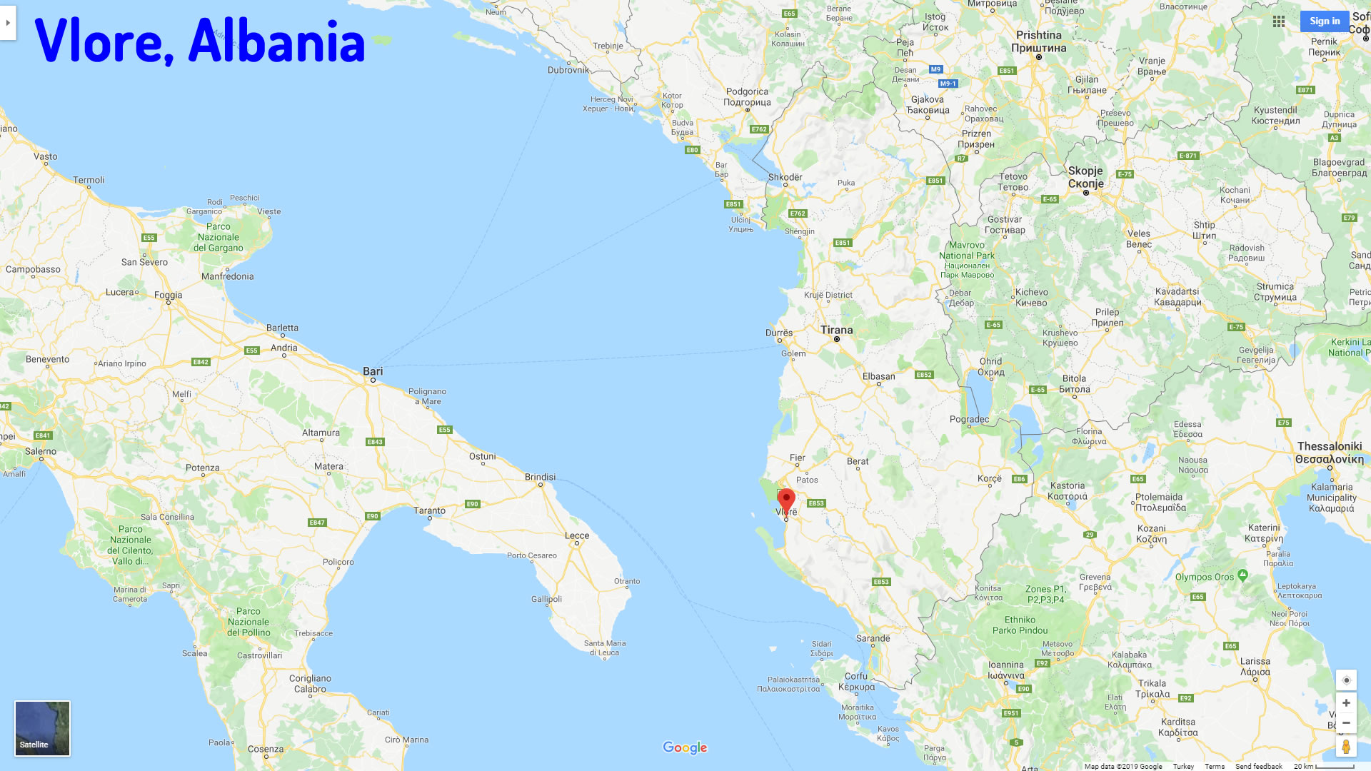
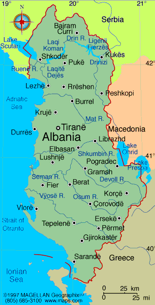
VLORE MAP ALBANIA
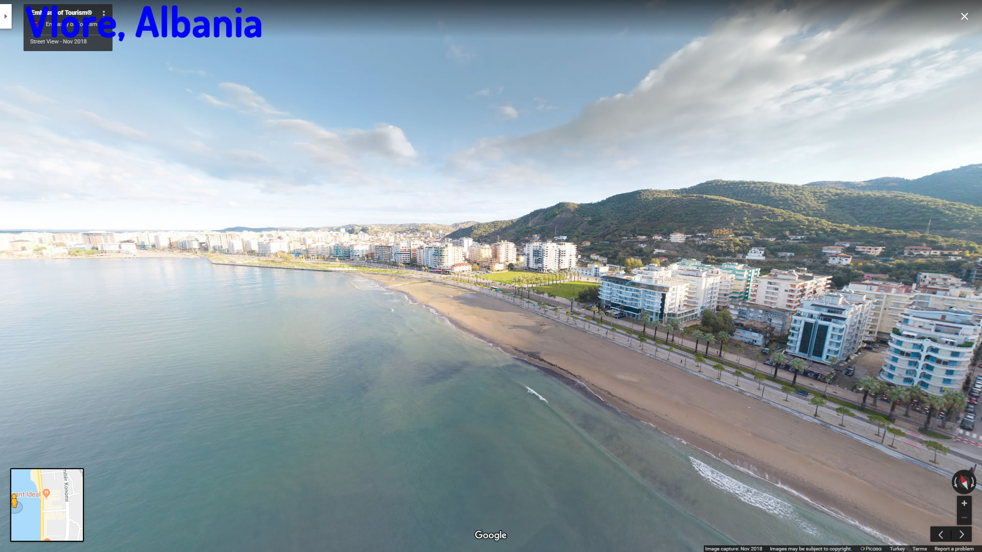
A Collection of Vlore and Satellite Images
Vlore Map Albania
Vlore Albania
Vlore Map
See Also
Vlore Google Map, Street Views, Maps Directions, Satellite Images
turkey-visit.com offers a collection of Vlore map, google map, Vlore atlas, political, physical, satellite view, country infos, cities map and more map of Vlore.
Largest Cities' Map of Albania
Tirana Map Elbasan Map Durres Map Vlore Map Skhoder Map Kryezi Map Kukes Map Burrel Map Korce Map Permet Map Dukat Map Sarande Map Tepelene MapCopyright Turkey Travel Guide - 2005 - 2026. All rights reserved. Privacy Policy | Disclaimer