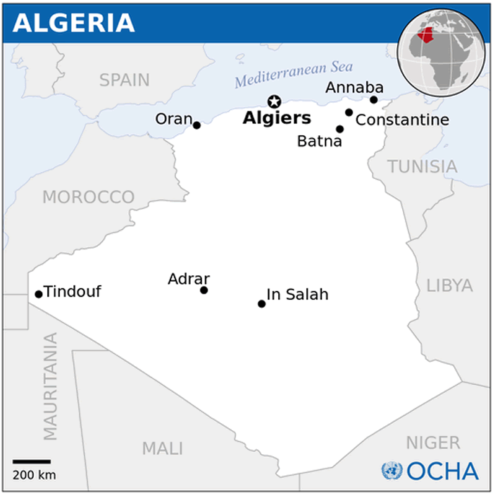
Algeria Map
Navigate Algeria Map, Algeria countries map, satellite images of the Algeria, Algeria largest cities maps, political map of Algeria, driving directions and traffic maps.
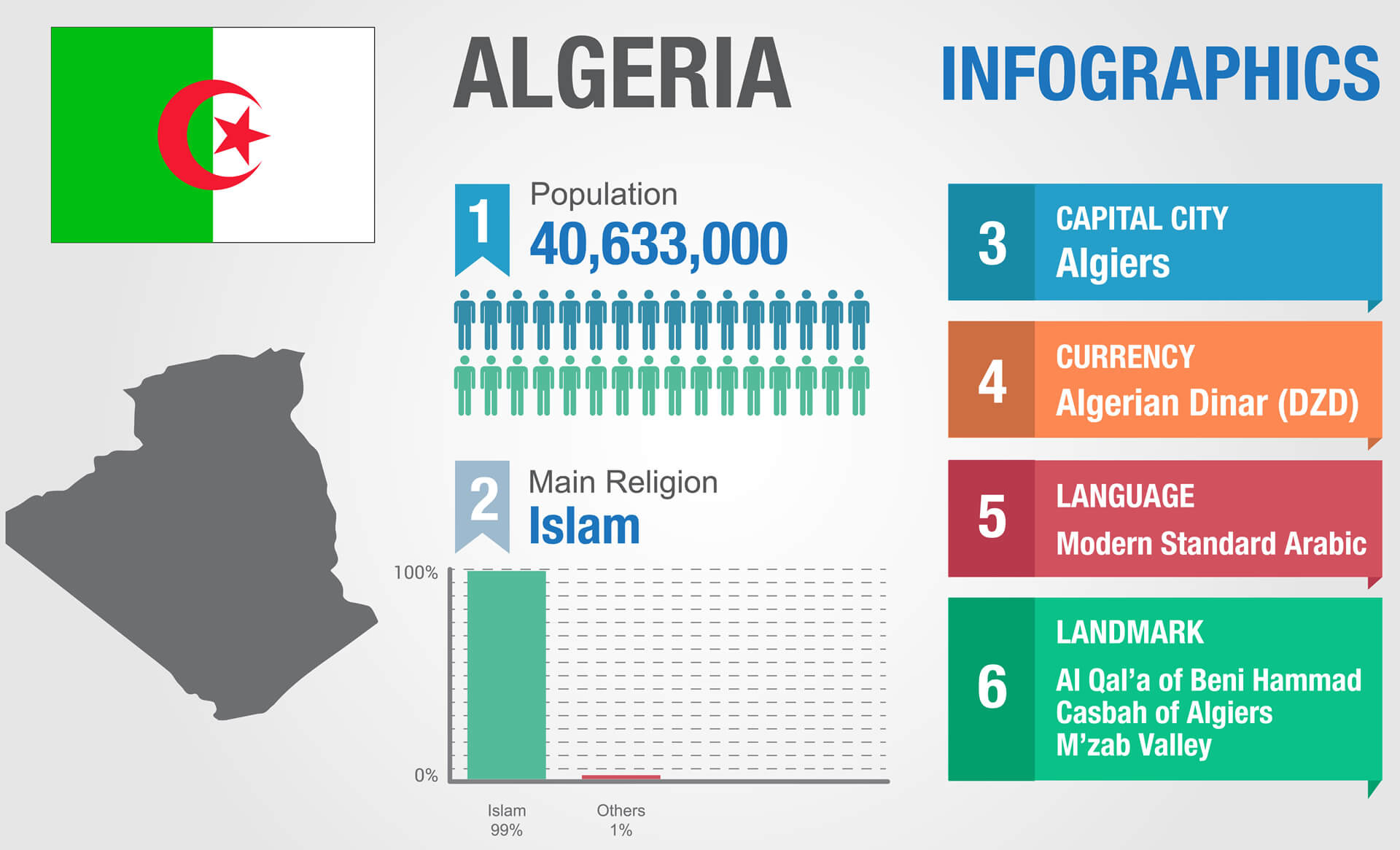
- Capital : Algiers
- Population : 37,100,000
- GDP : $190.709 billion (49th)
- Per Capita : $5,304 (93rd)
- Calling Code : +213
- Jobless Rate : 10.00%
- Time Zone : +1
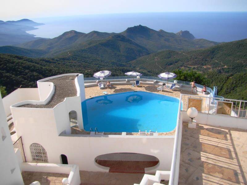
Mysteries of the Mediterranean: A Deep Dive into Algiers'' Allure
Please subscribe on "World Guide" channnel on Youtube at youtube.com/c/WorldGuide
AFRICA from Space and African Countries Satellite View
For more about Algeria >>
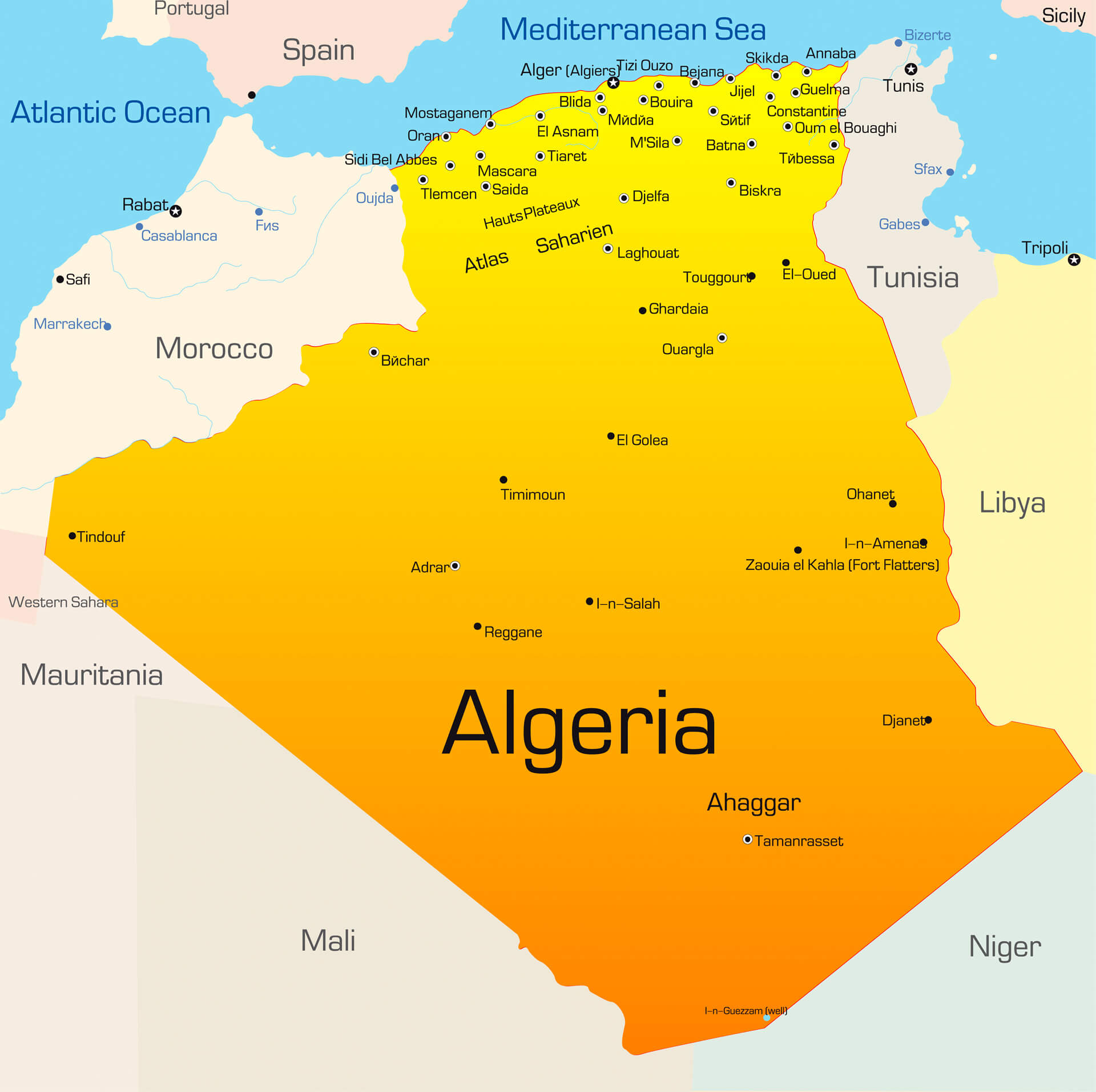
Algeria Map & Algeria Satellite Images
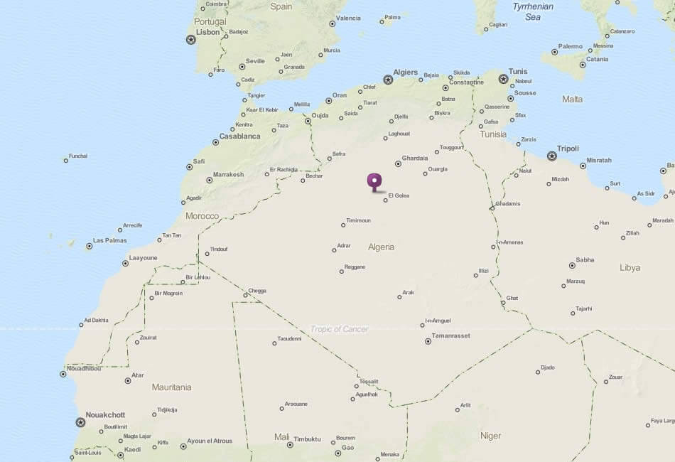
algeria locaition map
Largest Cities Map of Algeria
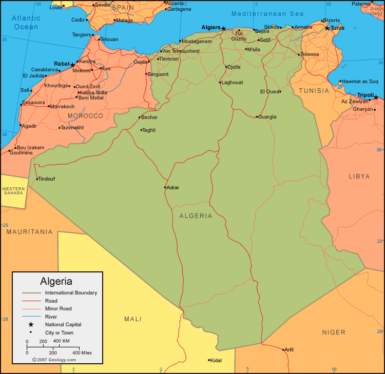
El Jazair Map - Oran Algeria Map - Constantine Algeria Map - Annaba Map - Batna Map - Blida Map - Setif Map - Sidi bel Abbes Map - Chlef Map - Biskra Map - Tlemcen Map - Djelfa Map - Tebessa Map - Skikda Map - Alger Map -A Collection of Algeria Maps and Algeria Satellite Images
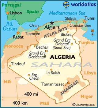
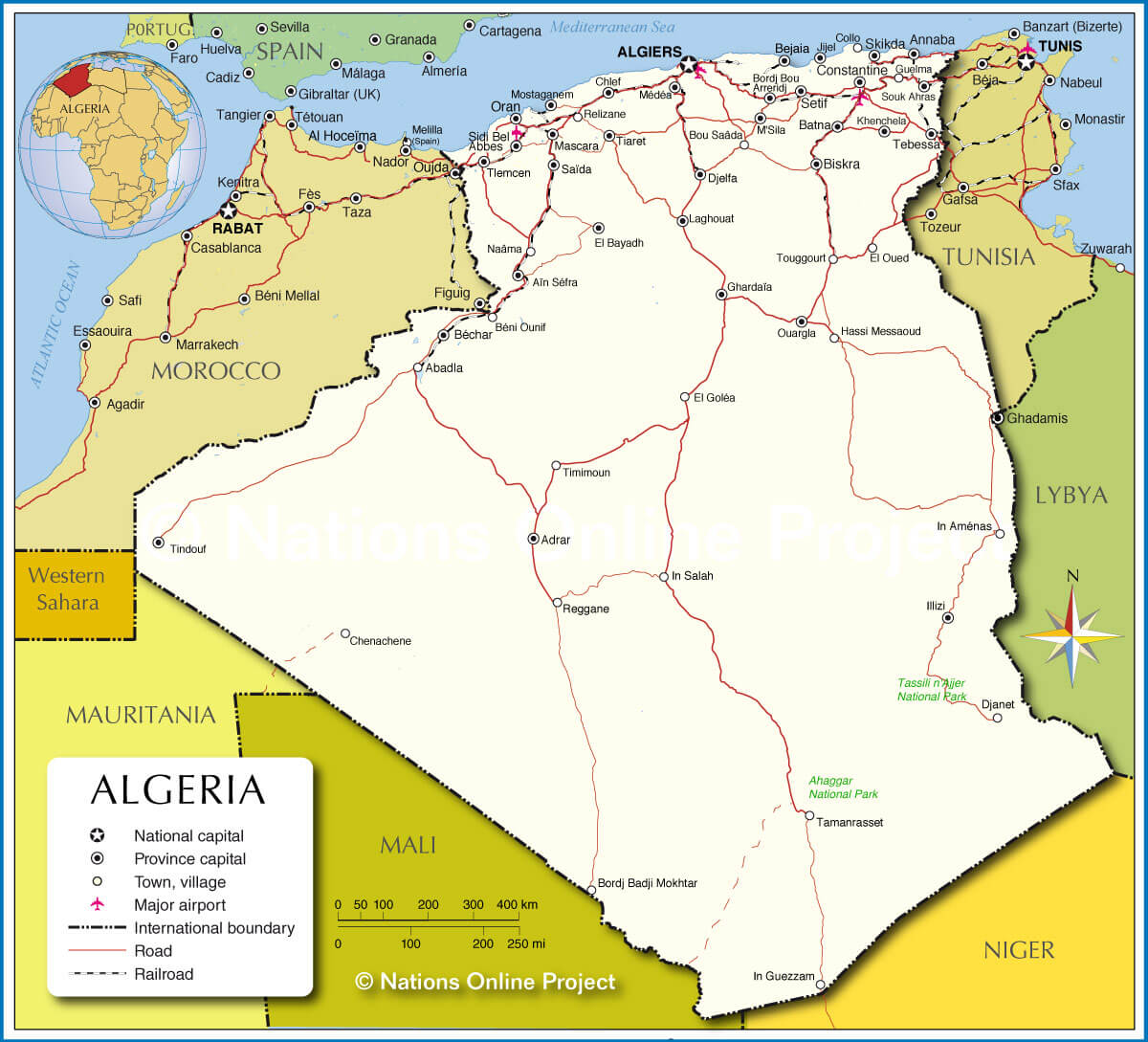
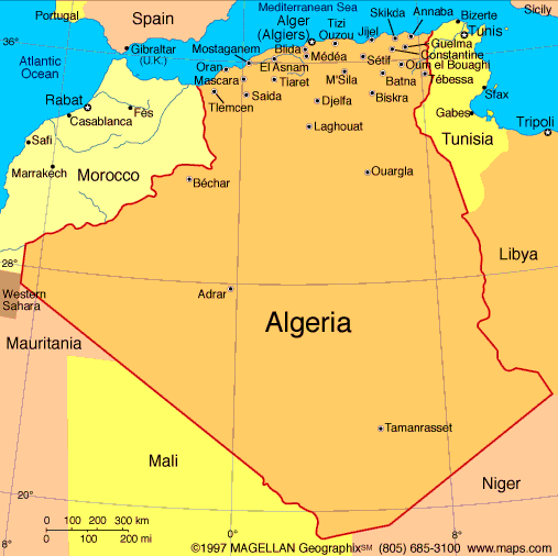
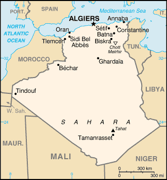
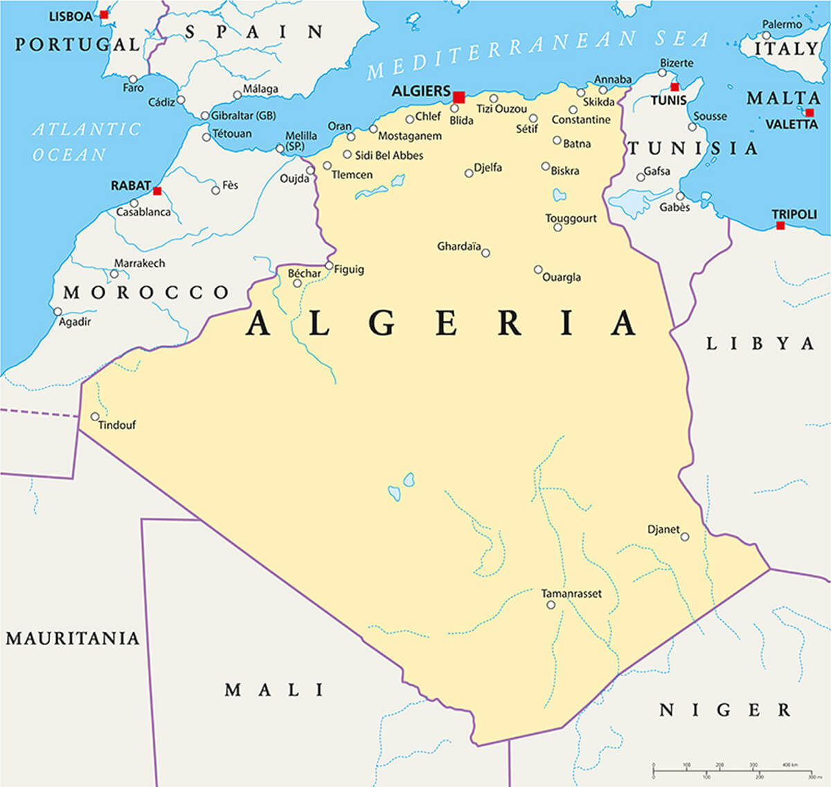
Map Of Algeria
Algeria Locaition Map
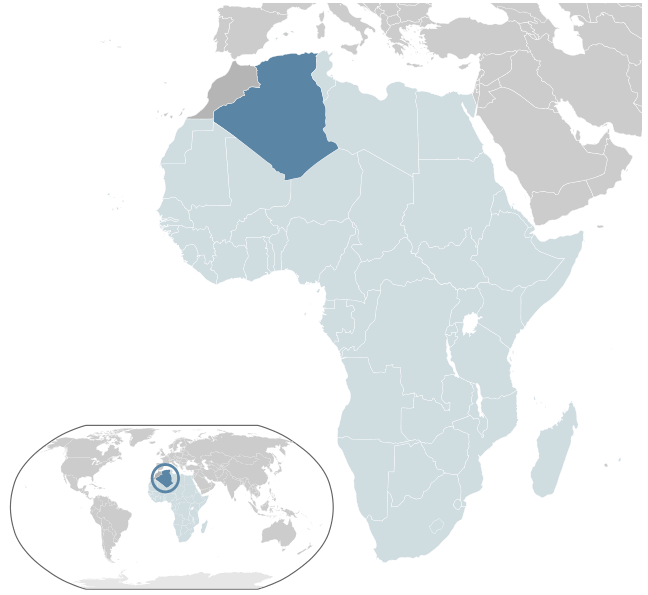
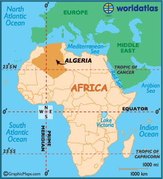
Where Is Algeria In The World
Algeria Earth Map
Algeria Map
Algeria Google Map
Algeria Map Africa
Algeria Map Cities
Algeria National Map
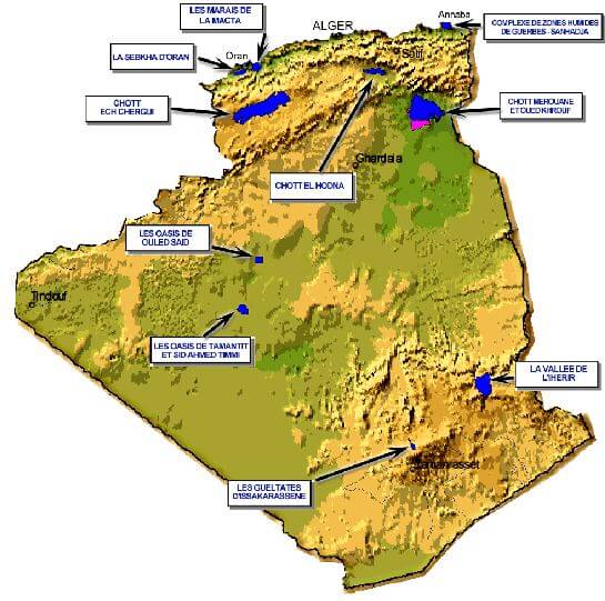
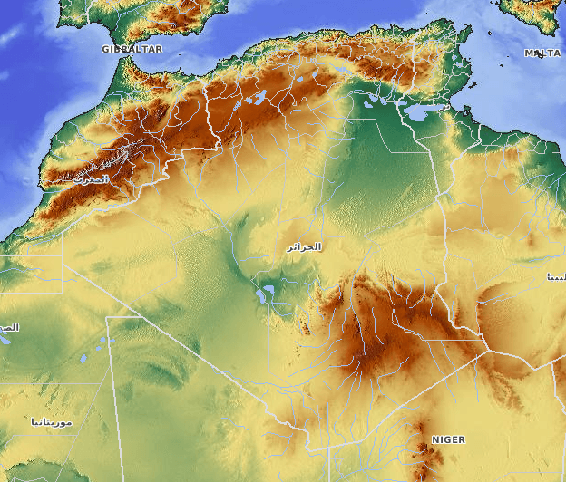
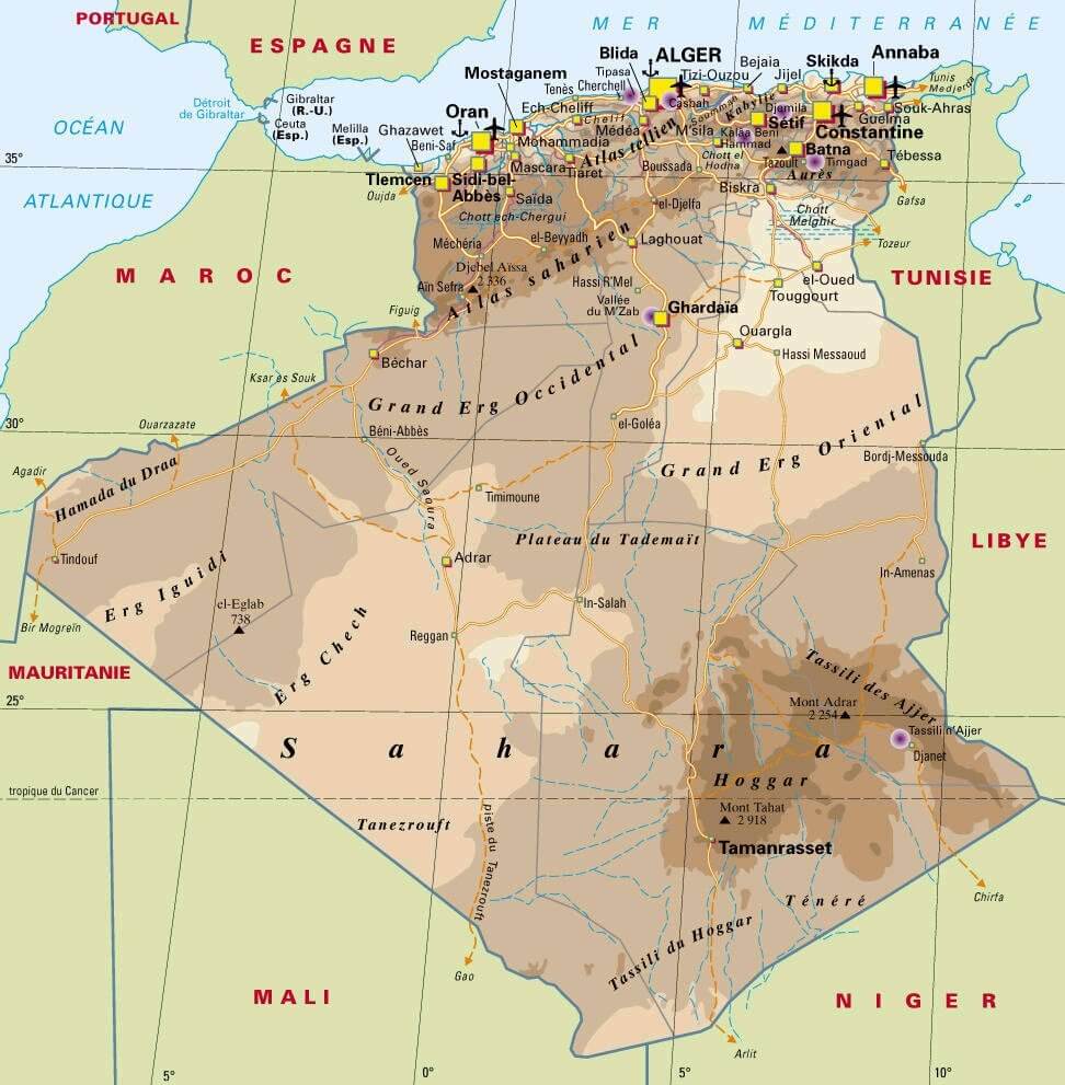
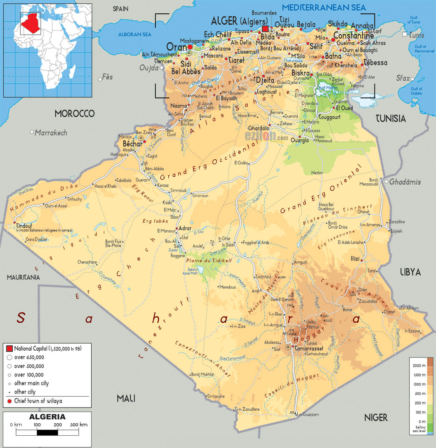
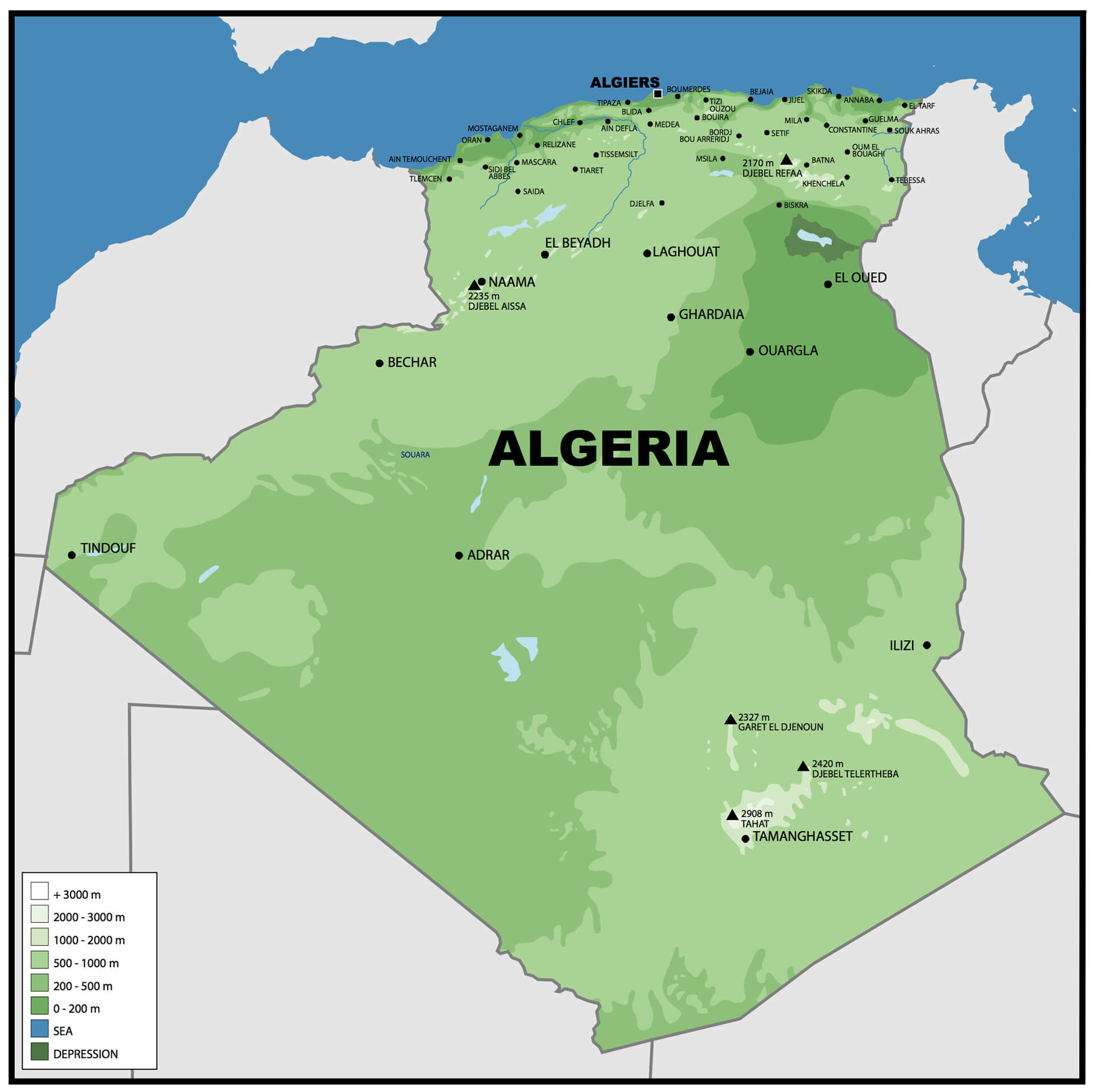
Algeria Physical Map
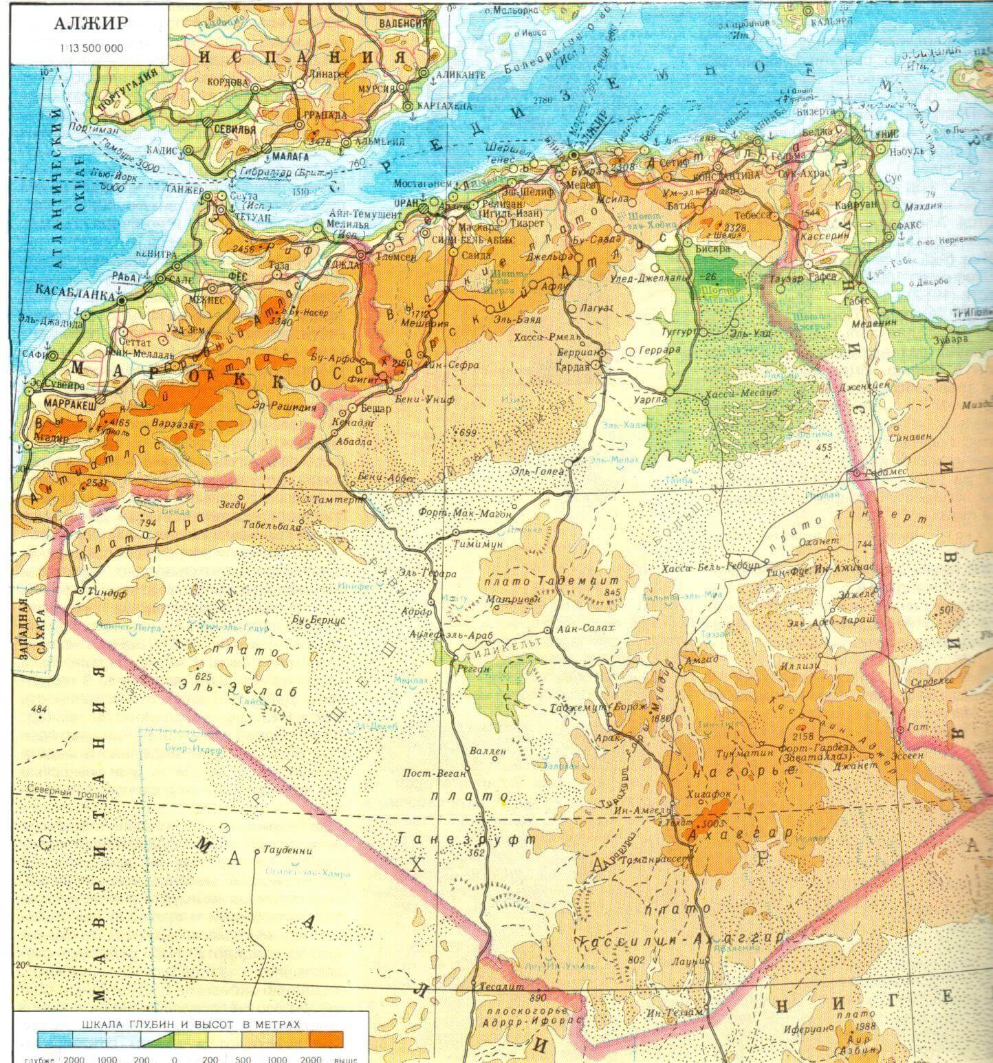
Algeria Relief Map
Algeria Seraidi Annaba
Cities Map Of Algeria
Map Of Algeria
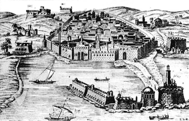
Old Algiers 16th Century
Physical Map Of Algeria
Physical Road Map Of Algeria
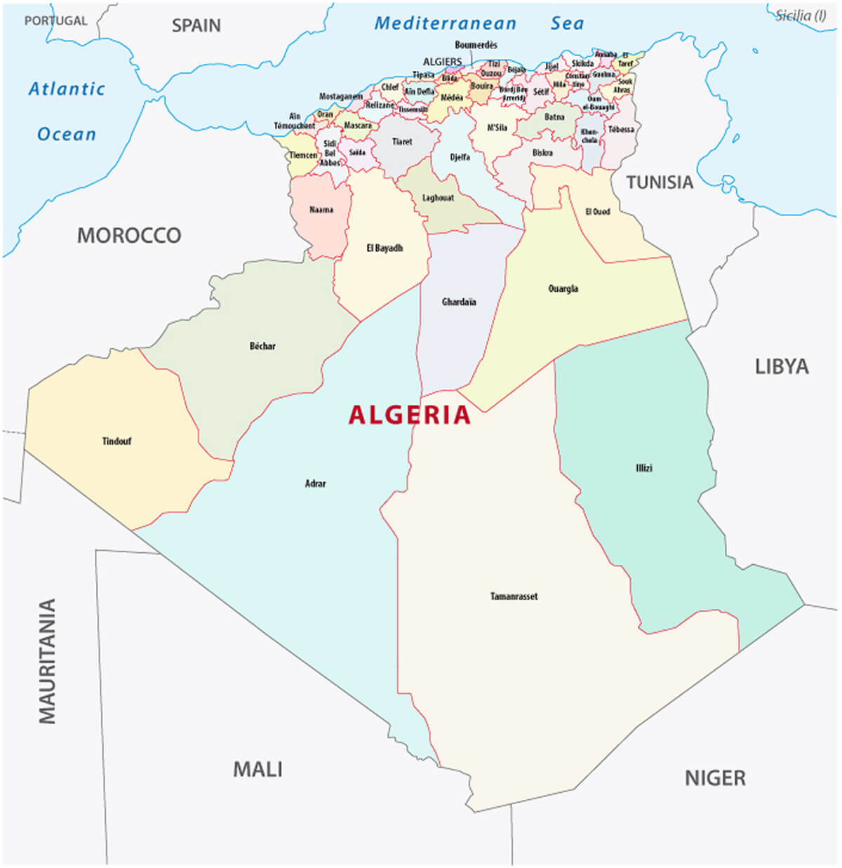
Political Map Of Algeria
Algeria Administrative Map With Provinces
Algeria Infographics Map
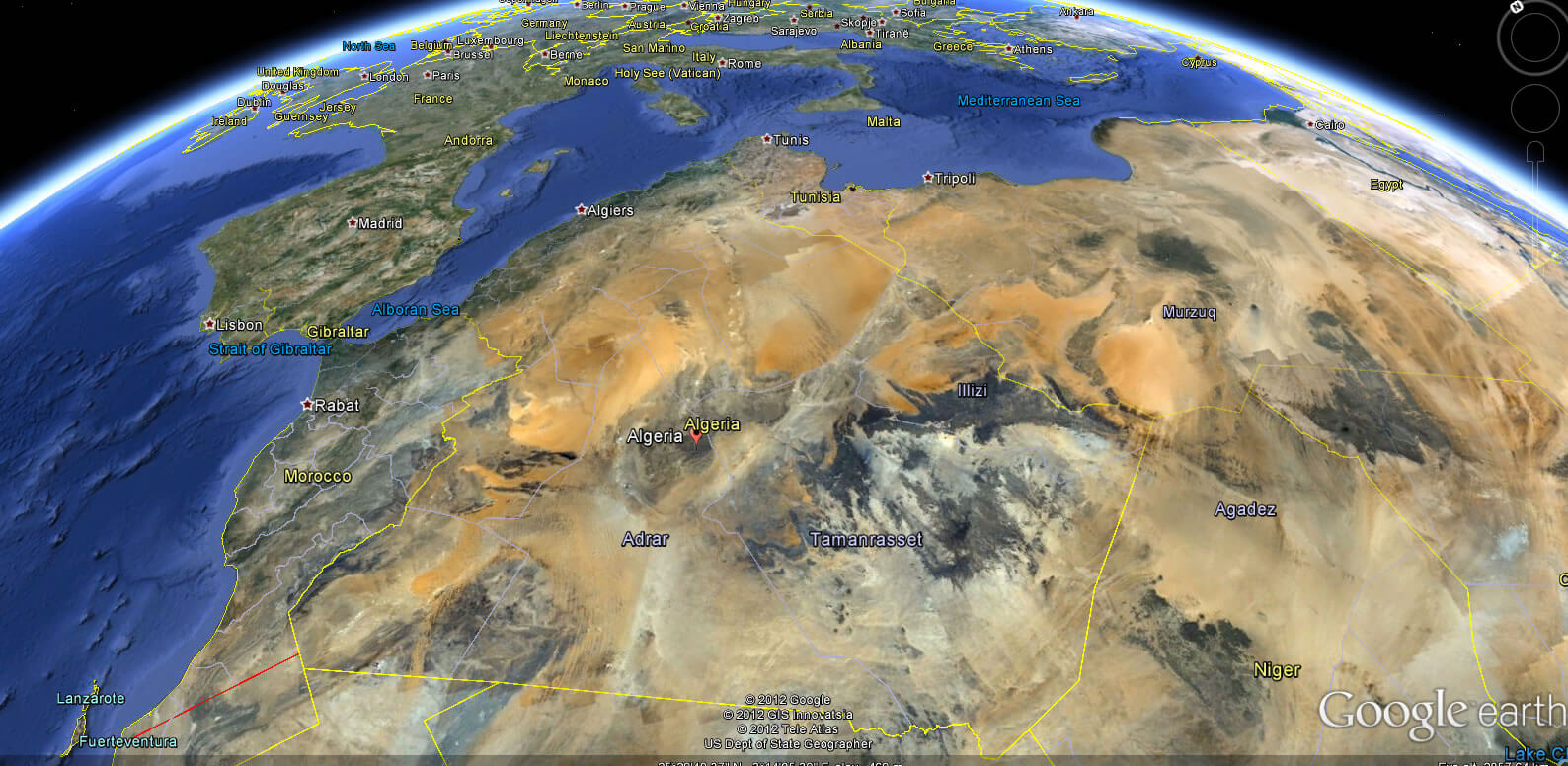
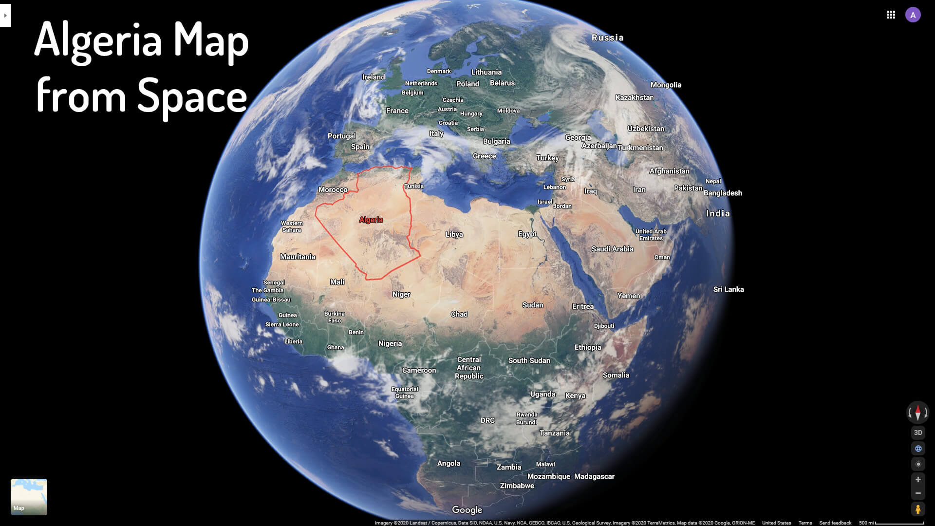
Algeria Map From Space
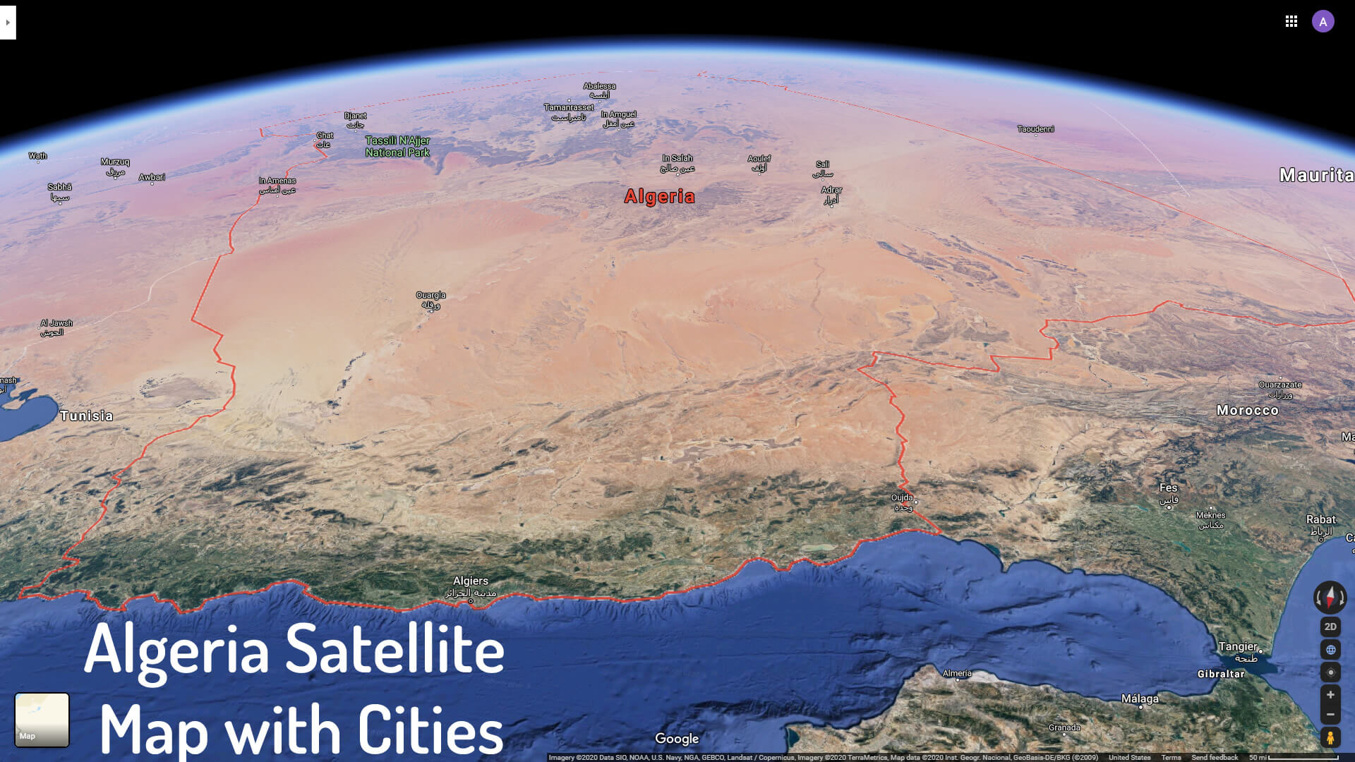
Algeria Satellite Map With Cities
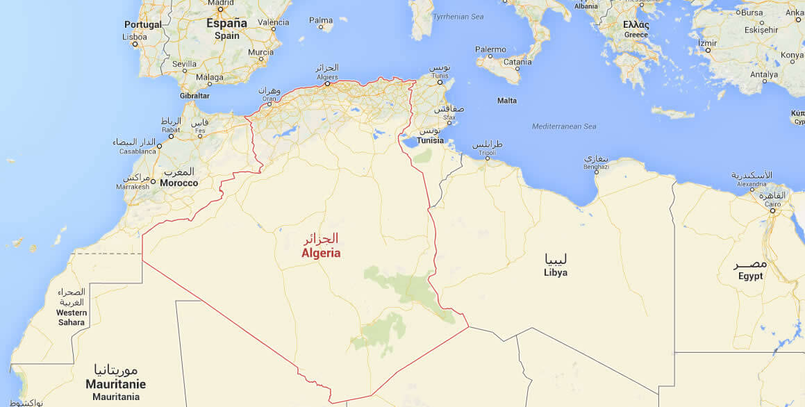
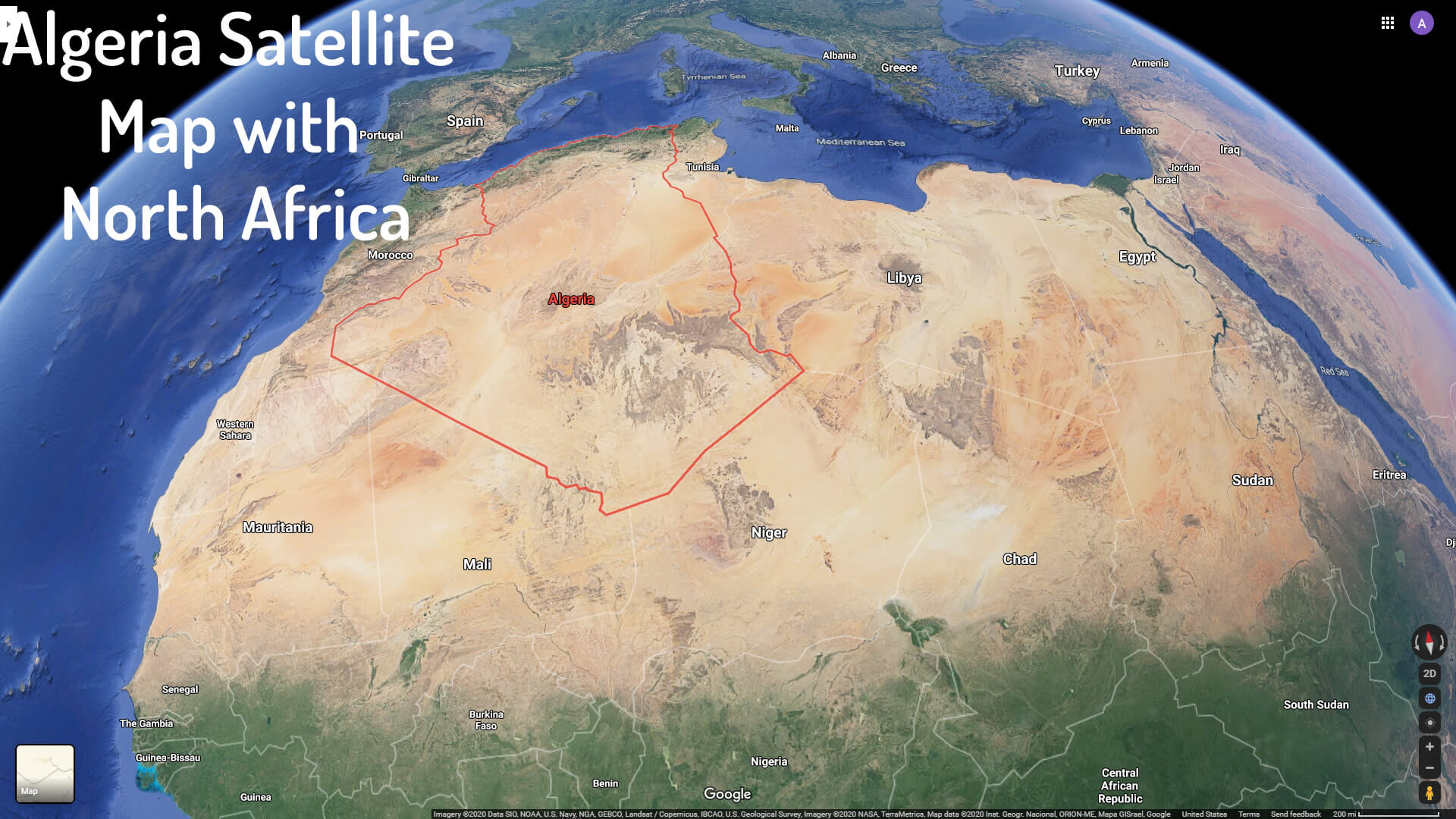
Algeria Satellite Map With North Africa
Color Map Of Algeria
Physical Map Of Algeria With Cities
Political Map Of Algeria
Algeria Google Map, Street Views, Maps Directions, Satellite Images
Please Not : You can find local businesses, public places, tourist attractions via map view, satellite image, hybrid view, driving directions in Algeria Map. You'll also find a varity map of Algeria such as political, administrative, transportation, demographics maps following Google map.
Submit URL to Algeria :
Click for Algeria Direction »
Copyright Turkey Travel Guide - 2005 - 2026. All rights reserved. Privacy Policy | Disclaimer