- world map
- south america map
Map of South America
Navigate map of South America, South America country maps, satellite images of the South America, South America largest city maps, political, physical map of South America, driving directions and traffic maps.


Find desired maps by entering country, city, town, region or village names regarding under search criteria. On upper left Map of South America (+) beside zoom in and (-) sign to to zoom out via the links you can visit. South America Map move the mouse over it via (left click) and clicking the image you can drag. Right upper Map, Satellite, Terrain icons via the map view, satellite, hybrid and terrain map can be switch between images.
World Continents Map
Europe Map Asia Map North America Map Africa Map Oceania Map Antarctica MapSouth America Map & South America Satellite Images
South America Map Loading...
A collection of South America Maps
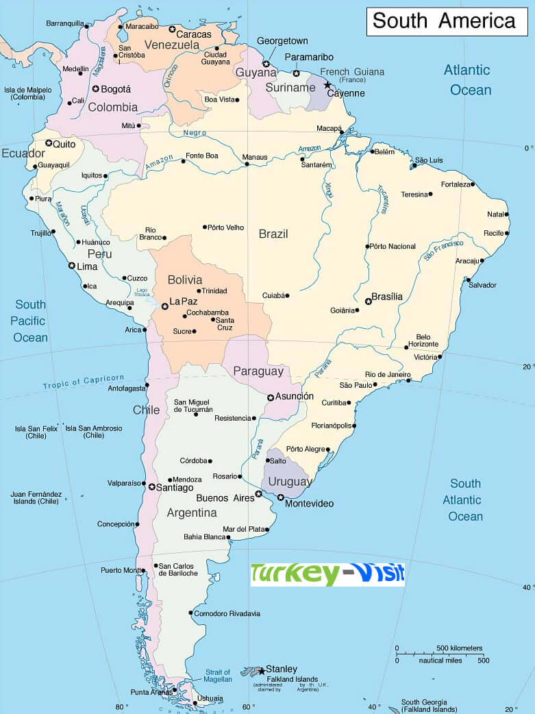


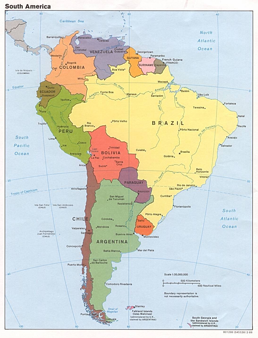

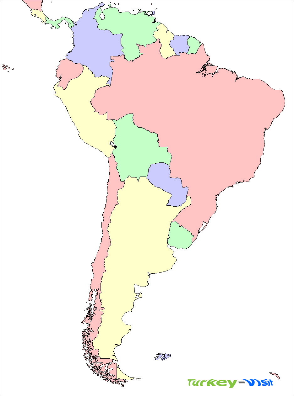


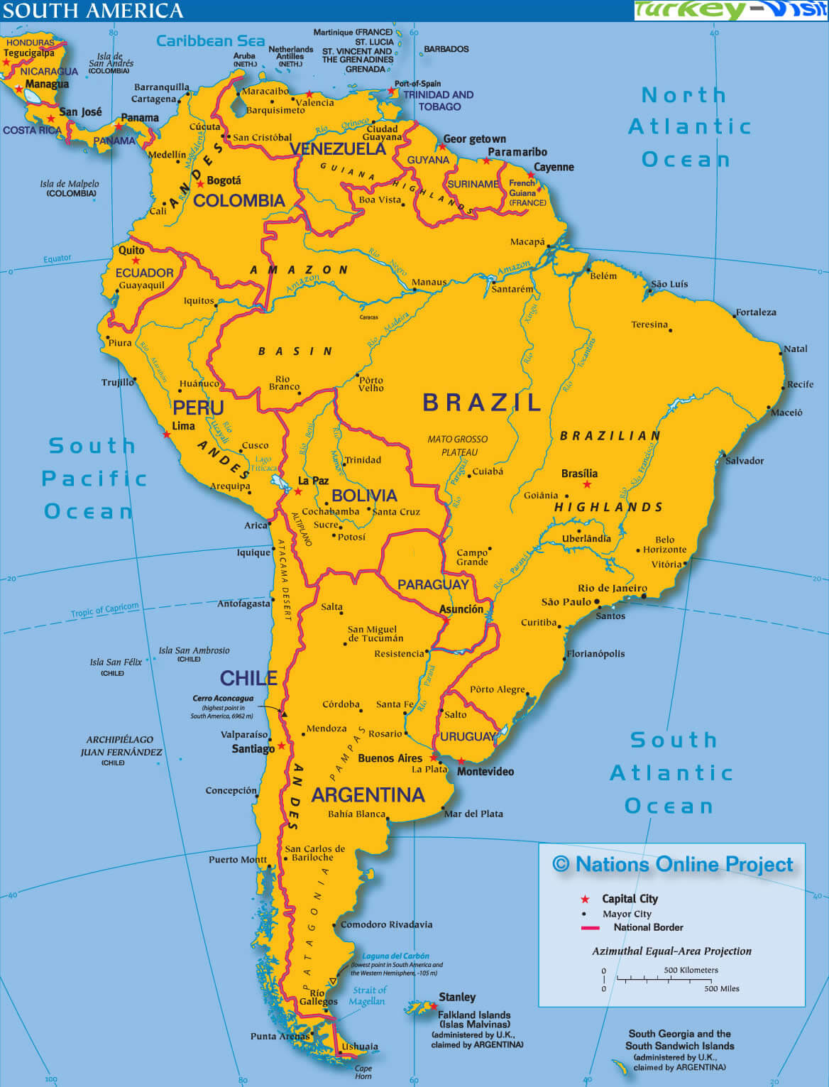


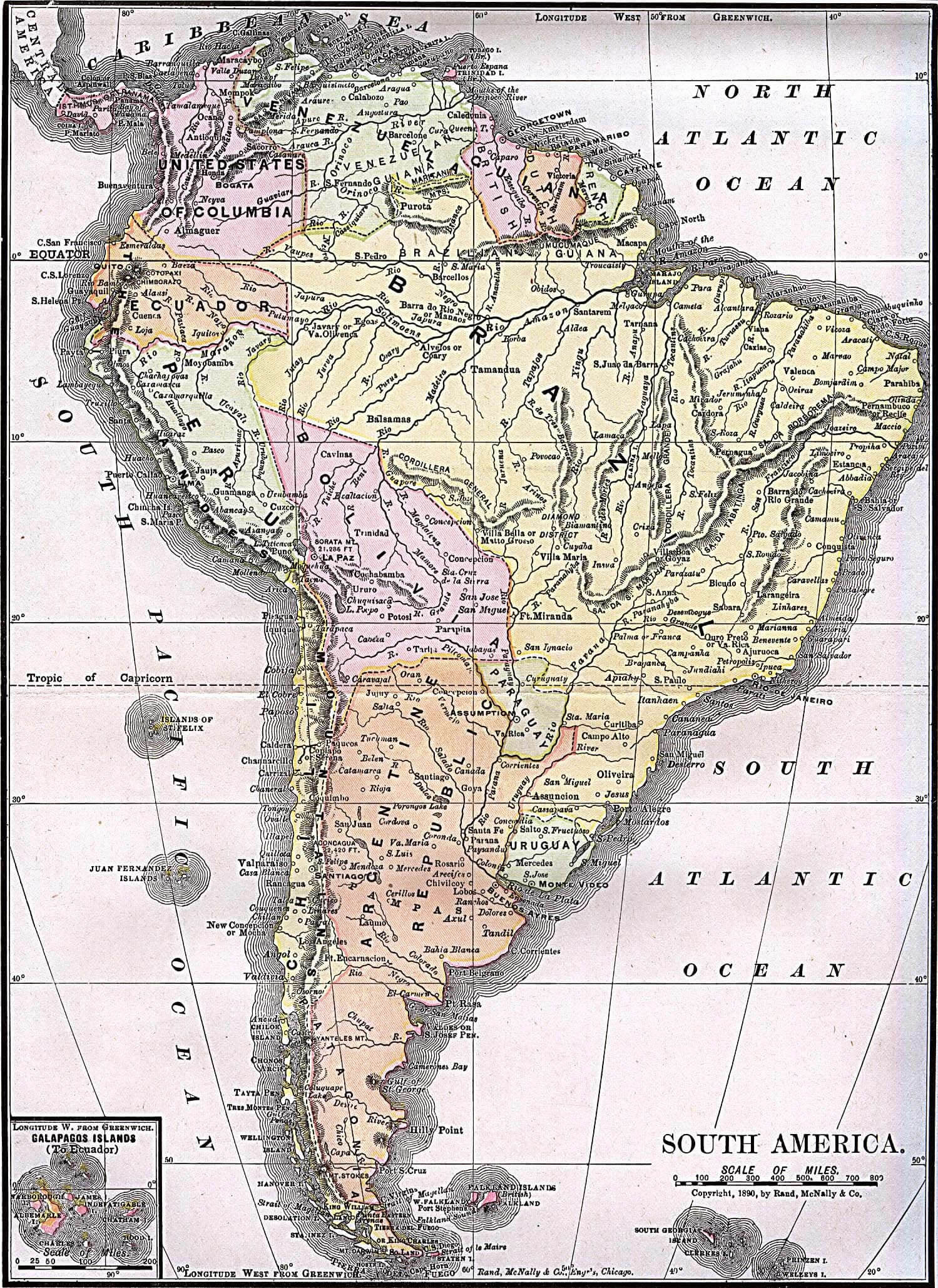


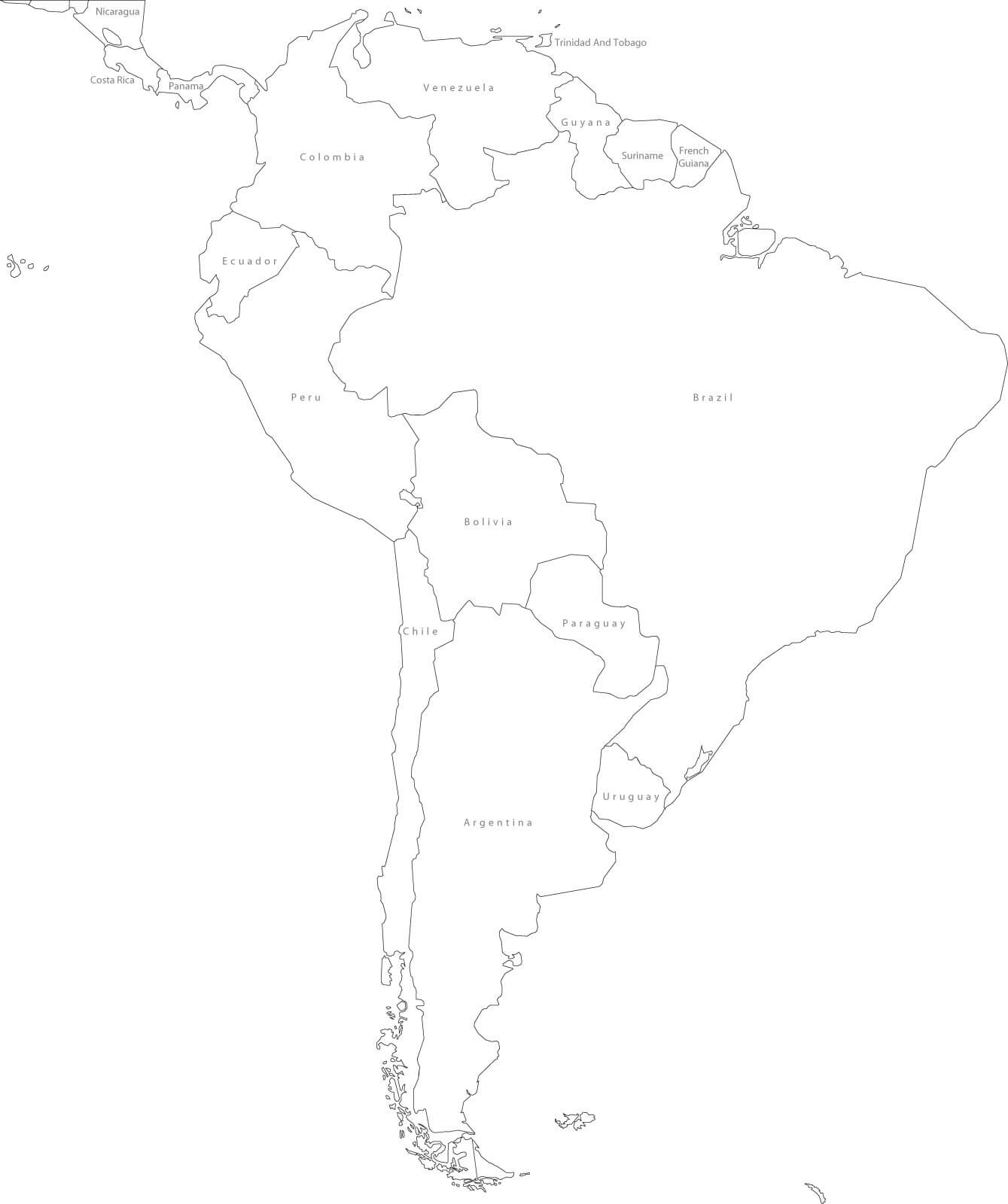

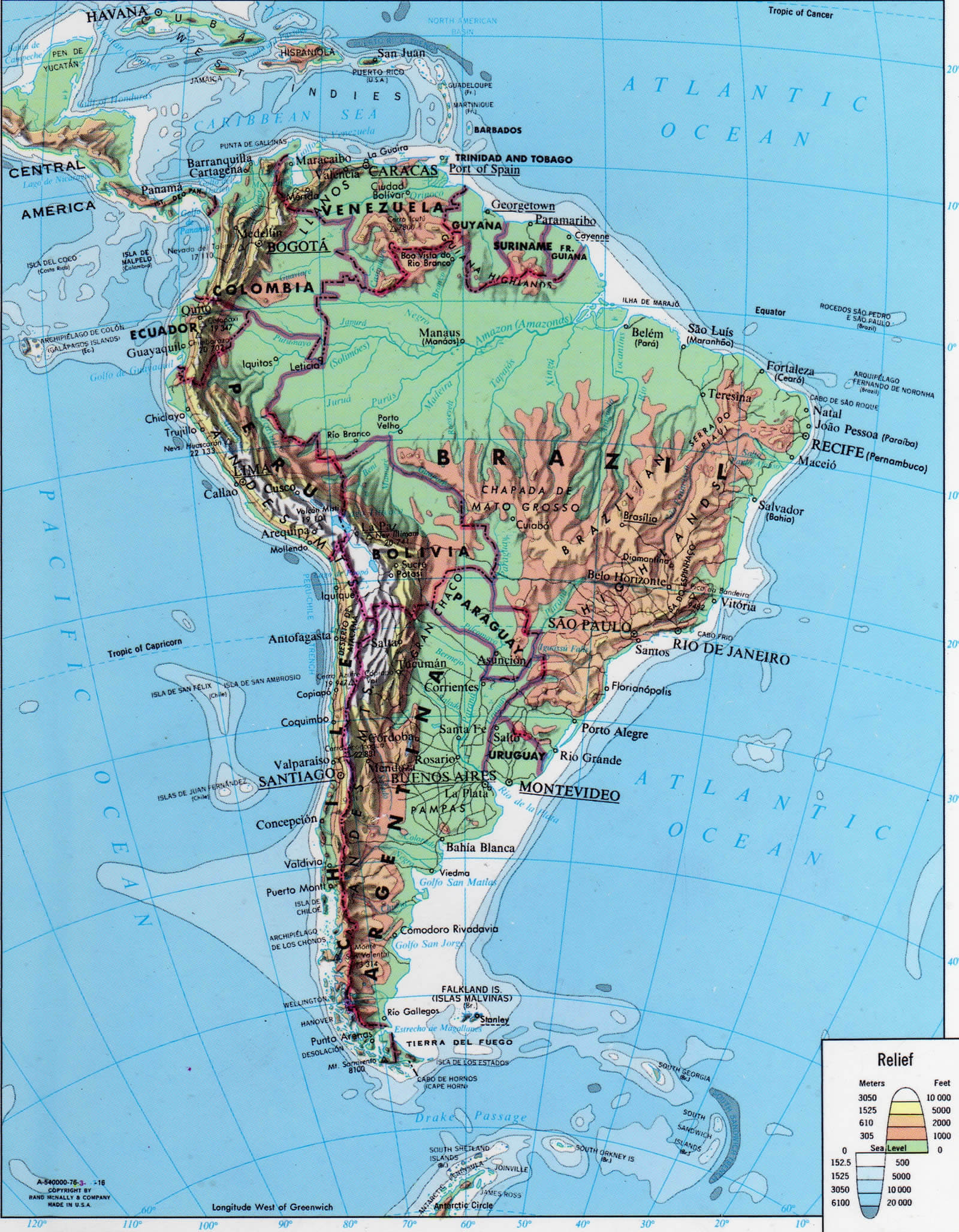
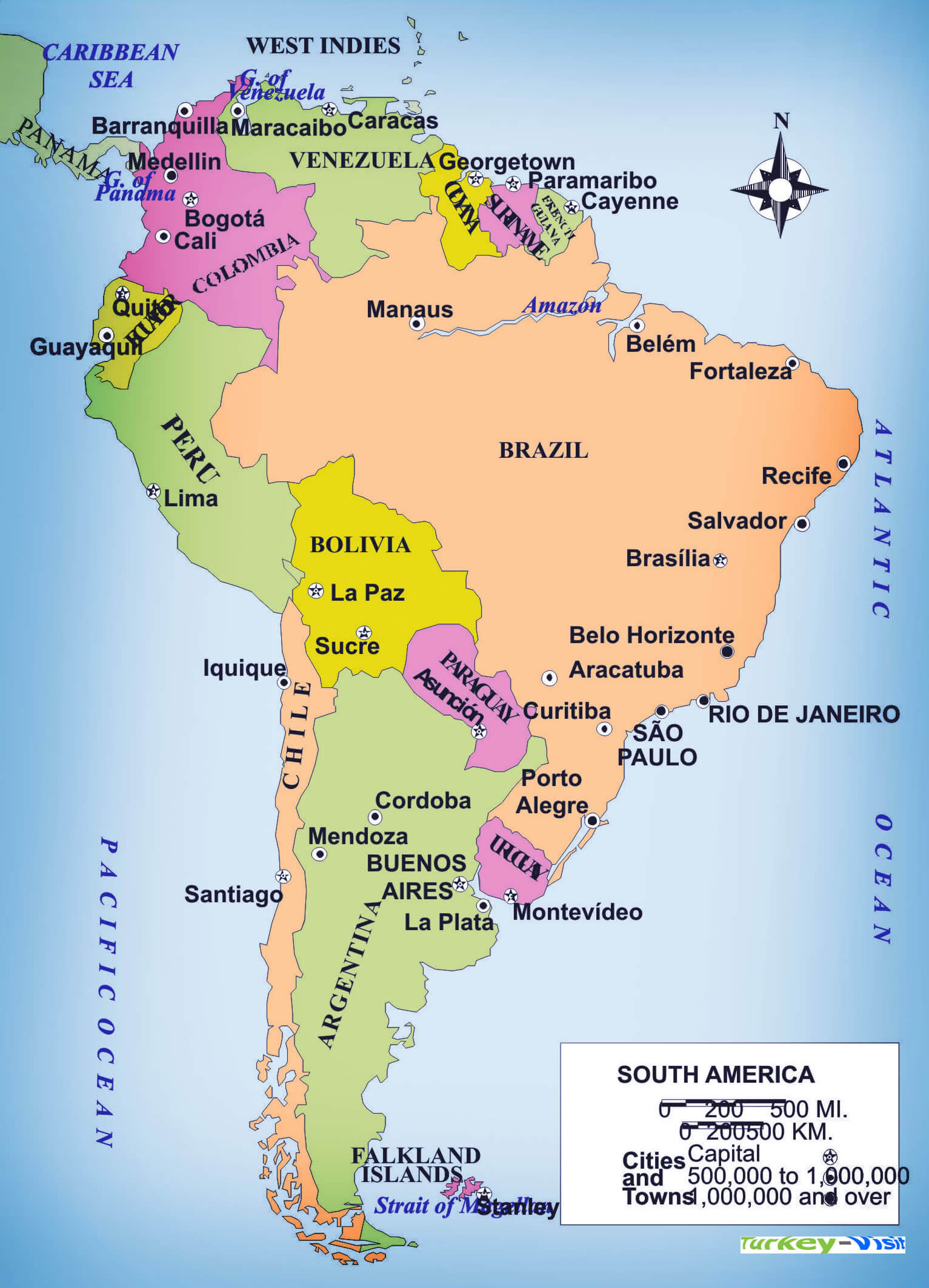
South America Countries Map
Argentina Map Bolivia Map Brazil Map Chile Map Colombia Map Ecuador Map Falkland Islands Map Guyana Map Paraguay Map Peru Map Suriname Map Uruguay Map Venezuela Map French Guiana MapSouth America Google Map, Street Views, Maps Directions, Satellite Images
Please Not : You can find local businesses, public places, tourist attractions via map view, satellite image, hybrid view, driving directions in South America Map. You'll also find a varity map of South America such as political, administrative, transportation, demographics maps following Google map.
Submit URL to South America :
Copyright Turkey Travel Guide - 2005 - 2025. All rights reserved. Privacy Policy | Disclaimer