- world map
- europe map
- israel map
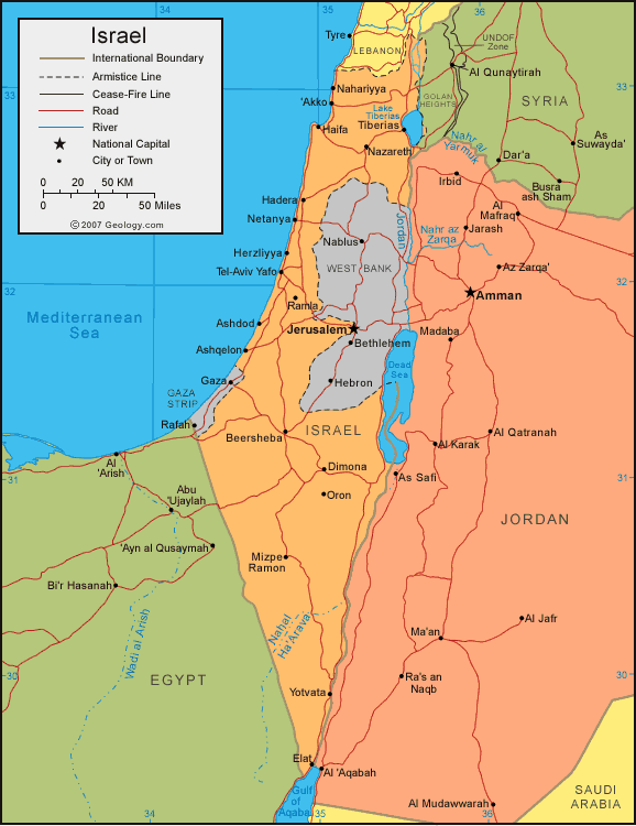
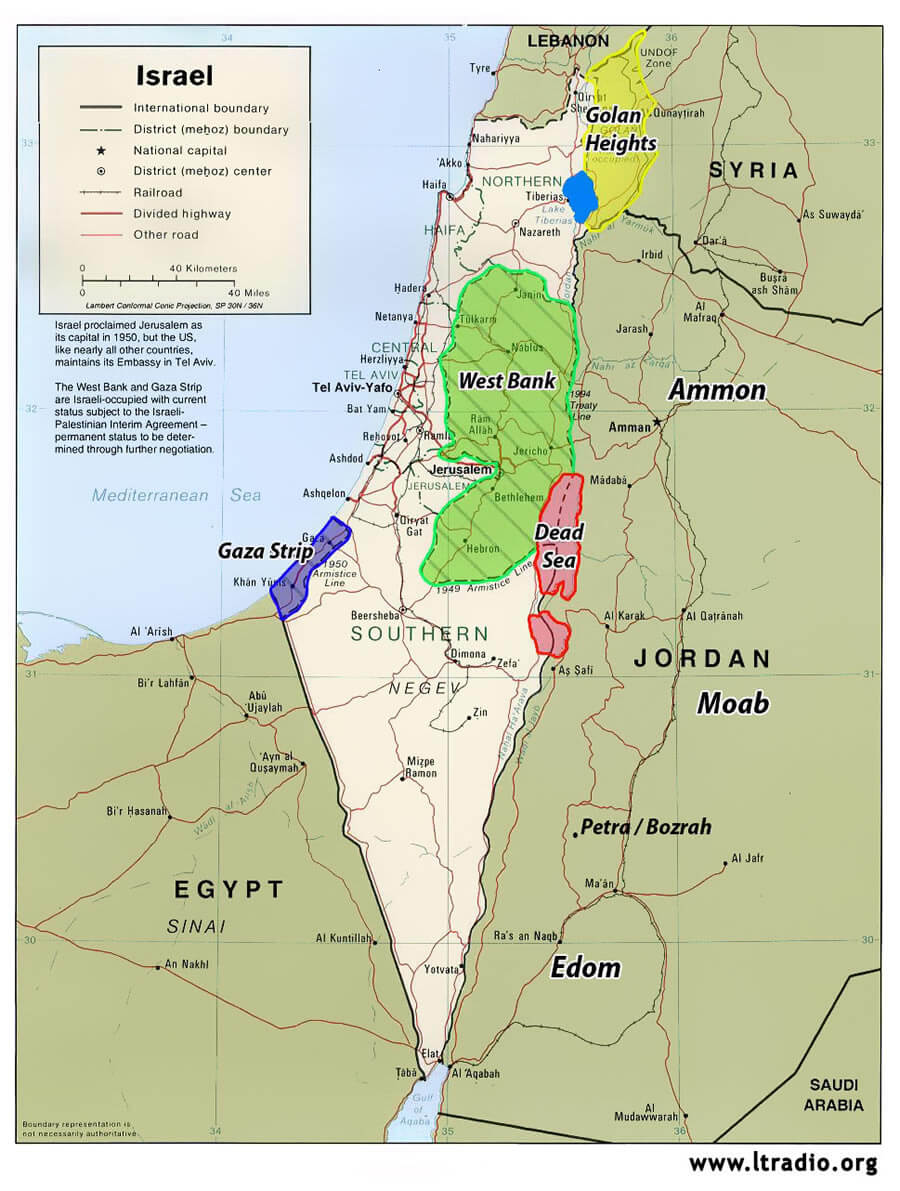
Map of Israel
Navigate map of Israel, Israel country maps, satellite images of the Israel, Israel largest city maps, political, physical map of Israel, driving directions and traffic maps.

Find desired maps by entering country, city, town, region or village names regarding under search criteria. On upper left Map of Israel (+) beside zoom in and (-) sign to to zoom out via the links you can visit. Israel Map move the mouse over it via (left click) and clicking the image you can drag. Right upper Map, Satellite, Terrain icons via the map view, satellite, hybrid and terrain map can be switch between images.
World Continents Map
North America Map Europe Map Asia Map South America Map Oceania Map Antarctica MapA collection maps of Ireland


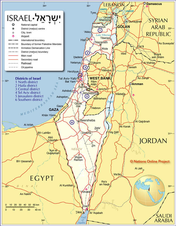
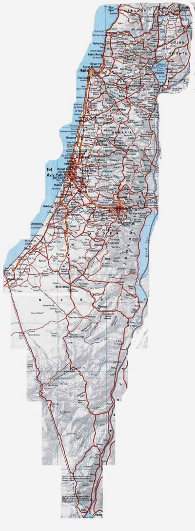
Largest Cities Map of Israel
Ashdod Map - Ashkelon Map - Bat Yam Map - Be'er Sheva Map - Bene Beraq Map - Haifa Map - Holon Map - Netanya Map - Petah Tiqwa Map - Ramat Gan Map - Rehovot Map - Tel Aviv Yafo Map - Jerusalem Map -Israel Google Map, Street Views, Maps Directions, Satellite Images
Please Not : You can find local businesses, public places, tourist attractions via map view, satellite image, hybrid view, driving directions in Israel Map. You'll also find a varity map of Israel such as political, administrative, transportation, demographics maps following Google map.
Submit URL to Israel :
Copyright Turkey Travel Guide - 2006 - 2023. All rights reserved. Privacy Policy | Disclaimer