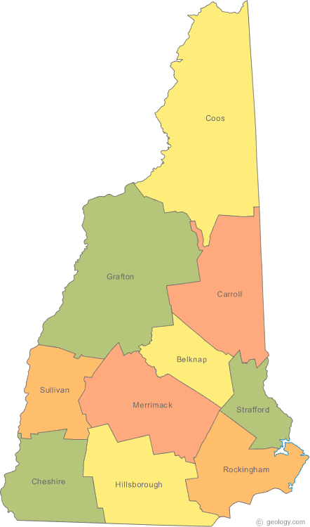
New Hampshire Map
N avigate New Hampshire Map, New Hampshire states map, satellite images of the New Hampshire, New Hampshire largest cities maps, political map of New Hampshire, driving directions and traffic maps.
All New Hampshire Cities Maps by Population
- Manchester Map - (109,565)
- Nashua Map - (86,494)
- Concord Map - (42,695)
- Dover Map - (29,987)
- Rochester Map - (29,752)
- Keene Map - (23,409)
- Derry Map - (22,015)
- Portsmouth Map - (20,779)
- Laconia Map - (15,951)
- Claremont Map - (13,355)
- Lebanon Map - (13,151)
- Somersworth Map - (11,766)
- Londonderry Map - (11,037)
- Durham Map - (10,345)
- Berlin Map - (10,051)
- Hampton Map - (9,656)
- Exeter Map - (9,242)
- Milford Map - (8,835)
- Hanover Map - (8,636)
- Franklin Map - (8,477)
- Hudson Map - (7,336)
- South Hooksett Map - (5,418)
- Suncook Map - (5,379)
- Newmarket Map - (5,297)
- Pinardville Map - (4,780)
- Newport Map - (4,769)
- Plymouth Map - (4,456)
- Littleton Map - (4,412)
- East Merrimack Map - (4,197)
- Hooksett Map - (4,147)
- Farmington Map - (3,885)
- Goffstown Map - (3,196)
- Peterborough Map - (3,103)
- Tilton Northfield Map - (3,075)
- Raymond Map - (2,855)
- Wolfeboro Map - (2,838)
- Jaffrey Map - (2,757)
- North Conway Map - (2,349)
- Hampton Beach Map - (2,275)
- Hillsborough Map - (1,976)
- Conway Map - (1,823)
- Henniker Map - (1,747)
- Winchester Map - (1,733)
- Lancaster Map - (1,725)
- Meredith Map - (1,718)
- Bristol Map - (1,688)
- Epping Map - (1,681)
- Gorham Map - (1,600)
- Pittsfield Map - (1,576)
- Hinsdale Map - (1,548)
- Enfield Map - (1,540)
- Contoocook Map - (1,444)
- New London Map - (1,415)
- Antrim Map - (1,397)
- Colebrook Map - (1,394)
- West Swanzey Map - (1,308)
- Belmont Map - (1,301)
- Ashland Map - (1,244)
- Troy Map - (1,221)
- Wilton Map - (1,163)
- Charlestown Map - (1,152)
- Whitefield Map - (1,142)
- Woodsville Map - (1,126)
- Groveton Map - (1,118)
- Greenville Map - (1,108)
- Marlborough Map - (1,094)
- Sanbornville Map - (1,056)
- Lincoln Map - (993)
- Seabrook Beach Map - (992)
- Lisbon Map - (980)
- Bethlehem Map - (972)
- North Walpole Map - (828)
- Amherst Map - (613)
- Walpole Map - (605)
- Milton Map - (575)
- Center Ossipee Map - (561)
- Loudon Map - (559)
- North Woodstock Map - (528)
- Canaan Map - (524)
- Alton Map - (501)
- Mountain Lakes Map - (488)
- Warner Map - (444)
- West Stewartstown Map - (386)
- Bennington Map - (381)
- Bartlett Map - (373)
- Bradford Map - (356)
- New Hampton Map - (351)
- Newfields Map - (301)
- Milton Mills Map - (299)
- Suissevale Map - (249)
- Melvin Village Map - (241)
- Plainfield Map - (205)
- Hancock Map - (204)
- Union Map - (204)
- Center Sandwich Map - (123)
- Blodgett Landing Map - (101)
Largest New Hampshire cities map
New Hampshire Google Map, Street Views, Maps Directions, Satellite Images
Please Not : You can find local businesses, public places, tourist attractions via map view, satellite image, hybrid view, driving directions in New Hampshire Map. You'll also find a varity map of New Hampshire such as political, administrative, transportation, demographics maps following Google map.
Submit URL to New Hampshire :
Click for New Hampshire Direction »
Click for New Hampshire Street View »
Largest Cities Map of New Hampshire and Population
Manchester Map - 109,565 Nashua Map - 86,494 Concord Map - 42,695 Dover Map - 29,987 Rochester Map - 29,752 Keene Map - 23,409 Derry Map - 22,015 Portsmouth Map - 20,779 Laconia Map - 15,951 Claremont Map - 13,355 Lebanon Map - 13,151 Somersworth Map - 11,766 Londonderry Map - 11,037 Durham Map - 10,345 Berlin Map - 10,051Copyright Turkey Travel Guide - 2006 - 2023. All rights reserved. Privacy Policy | Disclaimer