Nebraska Map
N avigate Nebraska Map, Nebraska states map, satellite images of the Nebraska, Nebraska largest cities maps, political map of Nebraska, driving directions and traffic maps.
Nebraska Map & Nebraska Satellite Images
Nebraska Maps
- Map of Nebraska
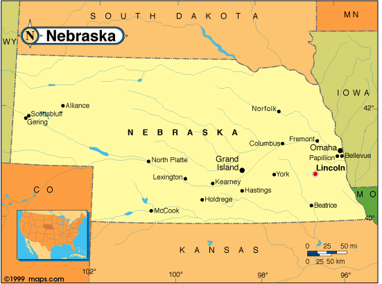
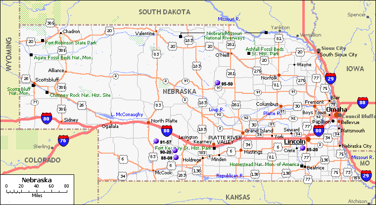
- Nebraska Map
- Nebraska Political Map
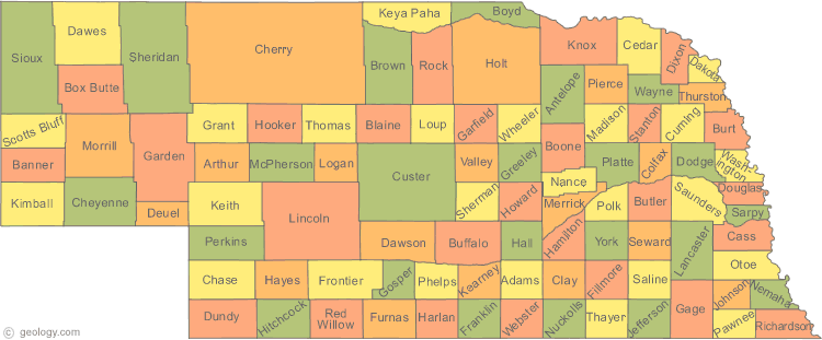
- Nebraska Counties Map
- Nebraska County Map
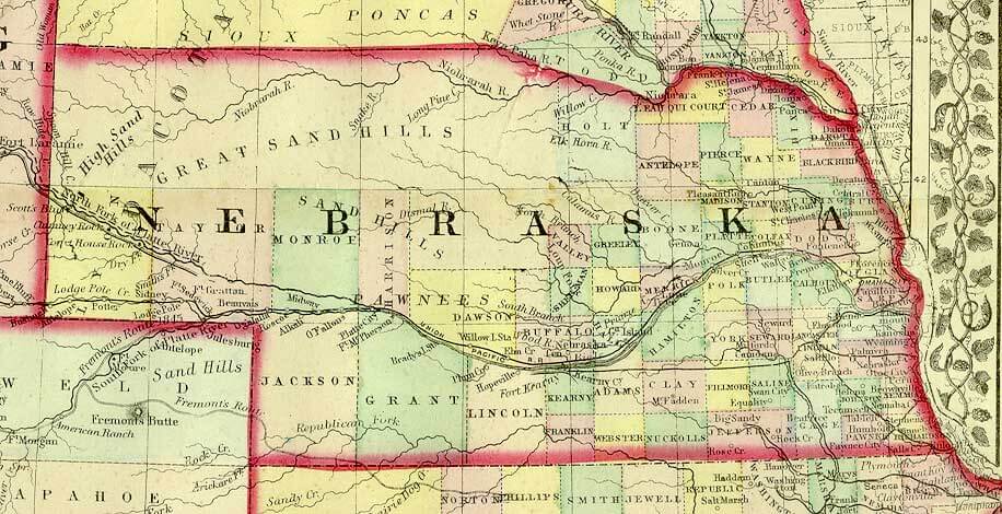
- Nebraska Historical Map
- Nebraska Historical Map 1899
- Nebraska Map Omaha
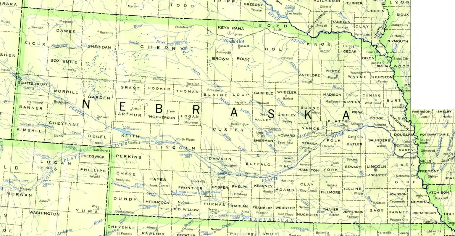
- Nebraska Physical Map
- Nebraska Political Map
- Nebraska Reference Map
- Nebraska River Map
- Nebraska Rivers Map
- Nebraska Road Map
- Nebraska Satellite Image
- Nebraska State Map
A Collection of Nebraska Maps and Nebraska Satellite Images


A collection of Nebraska Maps


For all Nebraska cities map
Click for Nebraska Direction »
Click for Nebraska Street View »
Largest Cities Map of Nebraska and Population
Omaha Map - 408,958 Lincoln Map - 258,379 Bellevue Map - 50,137 Grand Island Map - 48,520 Kearney Map - 30,787 Fremont Map - 26,397 Hastings Map - 24,907 North Platte Map - 24,733 Norfolk Map - 24,210 Columbus Map - 22,111 Papillion Map - 18,894 La Vista Map - 15,758 Scottsbluff Map - 15,039 South Sioux City Map - 13,353 Beatrice Map - 12,459 Alliance Map - 8,491Copyright Turkey Travel Guide - 2006 - 2023. All rights reserved. Privacy Policy | Disclaimer