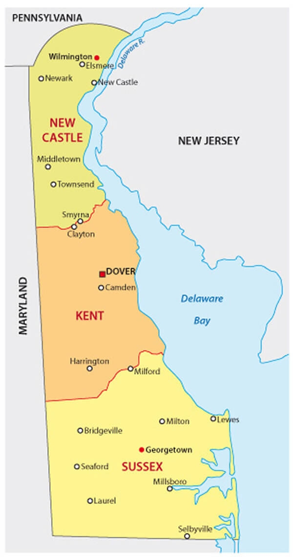
Delaware Map
N avigate Delaware Map, Delaware states map, satellite images of the Delaware, Delaware largest cities maps, political map of Delaware, driving directions and traffic maps.
All Delaware Cities Maps by Population
- Wilmington Map - (70,851)
- Dover Map - (36,047)
- Newark Map - (31,454)
- Bear Map - (19,371)
- Middletown Map - (18,871)
- Brookside Map - (14,353)
- Glasgow Map - (14,303)
- Hockessin Map - (13,527)
- Pike Creek Valley Map - (11,217)
- Smyrna Map - (10,023)
- Milford Map - (9,559)
- Claymont Map - (8,253)
- North Star Map - (7,980)
- Pike Creek Map - (7,898)
- Wilmington Manor Map - (7,889)
- Seaford Map - (6,928)
- Georgetown Map - (6,422)
- Elsmere Map - (6,131)
- Edgemoor Map - (5,677)
- New Castle Map - (5,285)
- Millsboro Map - (3,877)
- Laurel Map - (3,708)
- Harrington Map - (3,562)
- Camden Map - (3,464)
- Highland Acres Map - (3,459)
- Dover Base Housing Map - (3,450)
- Rising Sun Lebanon Map - (3,391)
- Clayton Map - (2,918)
- Lewes Map - (2,747)
- Milton Map - (2,576)
- Riverview Map - (2,456)
- Greenville Map - (2,326)
- Woodside East Map - (2,316)
- Selbyville Map - (2,167)
- Townsend Map - (2,049)
- Bridgeville Map - (2,048)
- Long Neck Map - (1,980)
- Kent Acres Map - (1,890)
- Ocean View Map - (1,882)
- Delaware City Map - (1,695)
- Delmar Map - (1,597)
- Rodney Village Map - (1,487)
- Cheswold Map - (1,380)
- Rehoboth Beach Map - (1,327)
- Wyoming Map - (1,313)
- Felton Map - (1,298)
- Blades Map - (1,241)
- Bellefonte Map - (1,193)
- Bethany Beach Map - (1,060)
- Newport Map - (1,055)
- Greenwood Map - (973)
- Frankford Map - (847)
- Dagsboro Map - (805)
- Frederica Map - (774)
- Millville Map - (544)
- South Bethany Map - (449)
- Arden Map - (439)
- Ellendale Map - (381)
- Fenwick Island Map - (379)
- Houston Map - (374)
- Odessa Map - (364)
- Dewey Beach Map - (341)
- Bowers Map - (335)
- Ardentown Map - (264)
- Kenton Map - (261)
- Ardencroft Map - (231)
- Magnolia Map - (225)
- Little Creek Map - (224)
- Slaughter Beach Map - (207)
- Leipsic Map - (183)
- Woodside Map - (181)
- Bethel Map - (171)
- Viola Map - (157)
- Henlopen Acres Map - (122)
- Farmington Map - (110)
- Hartly Map - (74)
Largest Delaware cities map
Delaware Google Map, Street Views, Maps Directions, Satellite Images
Please Not : You can find local businesses, public places, tourist attractions via map view, satellite image, hybrid view, driving directions in Delaware Map. You'll also find a varity map of Delaware such as political, administrative, transportation, demographics maps following Google map.
Submit URL to Delaware :
Click for Delaware Direction »
Click for Delaware Street View »
Largest Cities Map of Delaware and Population
Wilmington Map - 70,851 Dover Map - 36,047 Newark Map - 31,454 Bear Map - 19,371 Middletown Map - 18,871 Brookside Map - 14,353 Glasgow Map - 14,303 Hockessin Map - 13,527 Pike Creek Valley Map - 11,217 Smyrna Map - 10,023 Milford Map - 9,559 Claymont Map - 8,253 North Star Map - 7,980 Pike Creek Map - 7,898 Wilmington Manor Map - 7,889Copyright Turkey Travel Guide - 2006 - 2023. All rights reserved. Privacy Policy | Disclaimer