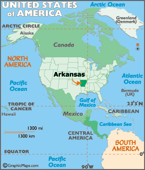
Arkansas Map
N avigate Arkansas Map, Arkansas states map, satellite images of the Arkansas, Arkansas largest cities maps, political map of Arkansas, driving directions and traffic maps.
Arkansas Unveiled: The Hidden Wonders of The Natural State
Please subscribe on "World Guide" channnel on Youtube at youtube.com/c/WorldGuide
The Earth, North America and Countries View from Space - Day Time and in the Night
Arkansas Map & Arkansas Satellite Images
Arkansas Maps
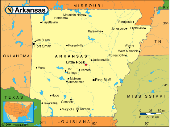
- Map of Arkansas
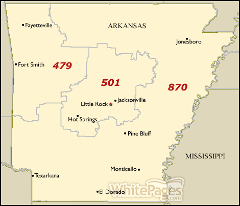
- Arkansas Area Code Map
- Arkansas Big Cities Map
- Arkansas Blank Map
- Arkansas Cities Map
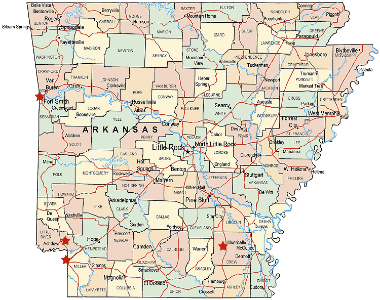
- Arkansas Counties Map
- Arkansas County Map
- Arkansas County Map USA
- Arkansas Historical Map
- Arkansas Largest Cities Map
- Arkansas Map Counties
- Arkansas Physical Map
- Arkansas Reference Map
- Arkansas Road Map
- Arkansas Satellite Images
- Arkansas State Park Map
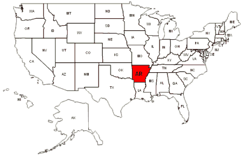
- Arkansas States Map
- Arkansas USA Map
- Counties Map of Arkansas
- Physical Map of Arkansas
- Political Map of Arkansas
- Road Map of Arkansas
- State Map of Arkansas
A Collection of Arkansas Maps and Arkansas Satellite Images


A collection of Arkansas Maps

For all Arkansas cities map
Click for Arkansas Direction »
Click for Arkansas Street View »
Largest Cities Map of Arkansas and Population
Little Rock Map - 193,524 Fort Smith Map - 86,209 Fayetteville Map - 73,580 Springdale Map - 69,797 Jonesboro Map - 67,263 North Little Rock Map - 62,304 Conway Map - 58,908 Rogers Map - 55,964 Pine Bluff Map - 49,083 Bentonville Map - 35,301 Hot Springs Map - 35,193 Benton Map - 30,681 Texarkana Map - 29,919 Sherwood Map - 29,523 Jacksonville Map - 28,364 Monette Map - 1,501Copyright Turkey Travel Guide - 2006 - 2023. All rights reserved. Privacy Policy | Disclaimer