Stockholm Map
N avigate Stockholm map, Stockholm country map, satellite images of Stockholm, Stockholm largest cities, towns maps, political map of Stockholm, driving directions, physical, atlas and traffic maps.
On upper left Map of Stockholm (+) beside zoom in and (-) sign to to zoom out via the links you can visit. Stockholm Map move the mouse over it via (left click) and clicking the image you can drag. Right upper Map, Satellite, Terrain icons via the map view, satellite, hybrid and terrain map can be switch between images.
Stockholm's Top 10 Attractions and Secret Corners
Please subscribe on "World Guide" channnel on Youtube at youtube.com/c/WorldGuide
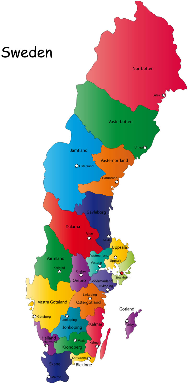
Where is Sweden in Europe, Is Sweden in NATO and EU
Stockholm City Town Maps
Stockholm map
Stockholm's Top 10 Attractions and Secret Corners
Please subscribe on "World Guide" channnel on Youtube at youtube.com/c/WorldGuide
Where is Sweden in Europe, Is Sweden in NATO and EU
A Collection of Stockholm Maps and Stockholm Satellite Images
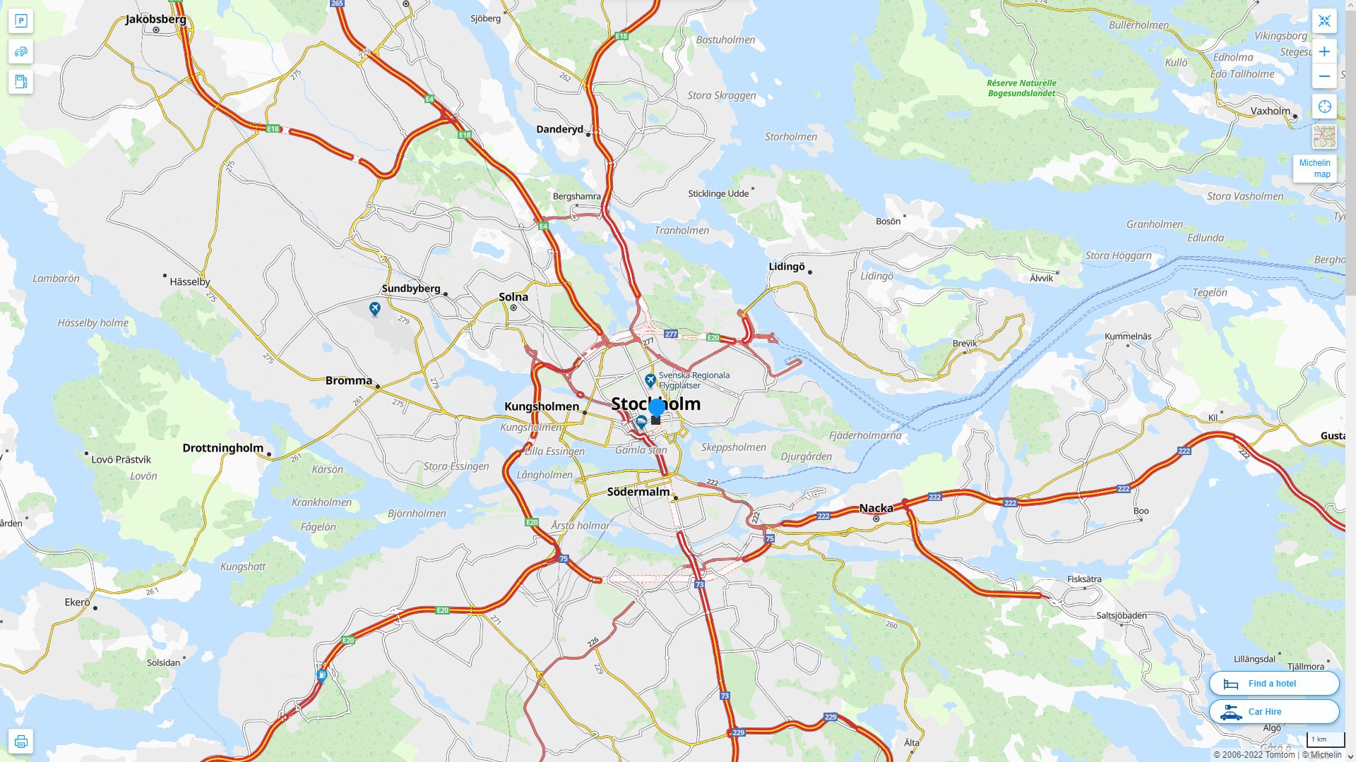
STOCKHOLM MAP
STOCKHOLM HIGHWAY AND ROAD MAP WITH SATELLITE VIEW
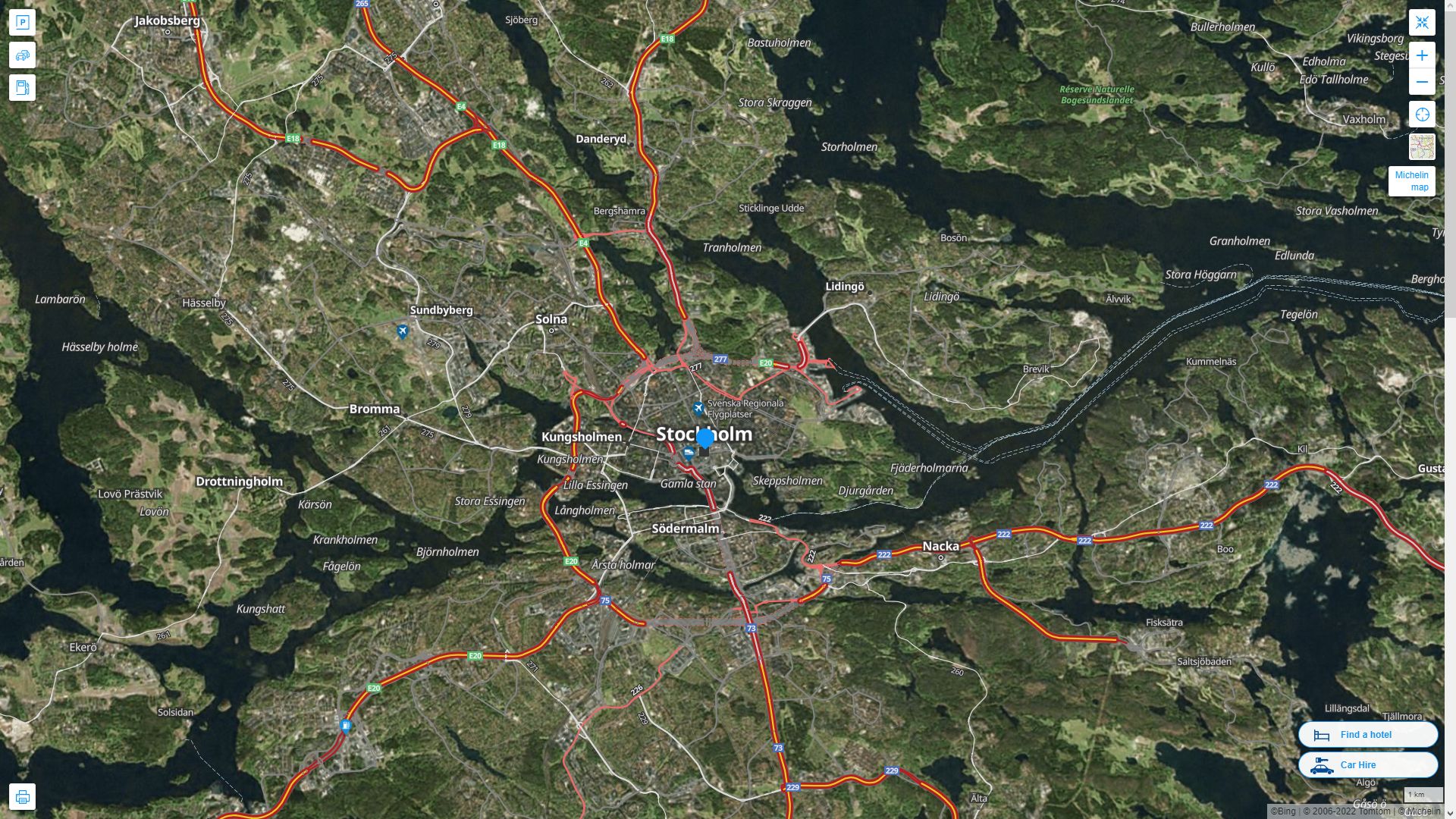
STOCKHOLM HIGHWAY AND ROAD MAP
Alphabetically Cities Map of Stockholm & Population of Stockholm Cities
Vasteras Map - Uppsala Map - Umea Map - Stockholm Map - Orebro Map - Norrkoping Map - Malmo Map - Lund Map - Linkoping Map - Jonkopin Map - Helsingborg Map - Goteborg Map - Boras Map -Copyright Turkey Travel Guide - 2006 - 2023. All rights reserved. Privacy Policy | Disclaimer