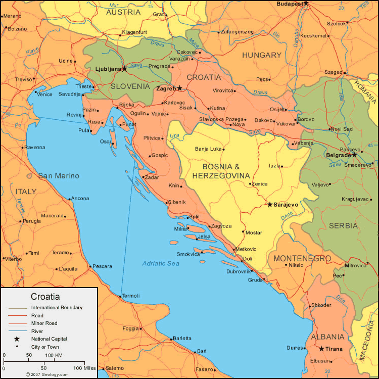
Croatia Map
Navigate Croatia Map, Croatia countries map, satellite images of the Croatia, Croatia largest cities maps, political map of Croatia, driving directions and traffic maps.

- Capital : Zagreb
- Population : 4,290,612
- GDP : $63.842 billion (65th)
- Per Capita : $14,457 (44th)
- Calling Code : +385
- Jobless Rate : 21.10%
- Time Zone : +1
For more about Croatia >>
Croatia Google Map, Street Views, Maps Directions, Satellite Images
Please Not : You can find local businesses, public places, tourist attractions via map view, satellite image, hybrid view, driving directions in Croatia Map. You'll also find a varity map of Croatia such as political, administrative, transportation, demographics maps following Google map.
Submit URL to Croatia :
Croatia Map & Croatia Satellite Images
Largest Cities Map of Croatia
Zagreb Map - Split Map - Rijeka Map - Osijek Map - Zadar Map -A Collection of Croatia Maps and Croatia Satellite Images


Image Properties of Croatia Country Map
Alphabetically Cities Map of Croatia & Population of Croatia Cities
Zagreb Map - Split Map - Rijeka Map - Osijek Map - Zadar Map -Please feel free share your comments and questions :
Please feel free share your comments and questions :
"Croatia" related content to share on social media;


Copyright Turkey Travel Guide - 2006 - 2023. All rights reserved. Privacy Policy | Disclaimer